© TVB Oststeiermark - Christine Pollhammer

© TVB Oststeiermark - Christa Pollhammer

© TVB Oststeiermark - Christine Pollhammer

© TVB Oststeiermark - Tourismusverband Oststeiermark

© TVB Oststeiermark - Tourismusverband Oststeiermark

© TVB Oststeiermark - Christine Pollhammer

© TVB Oststeiermark - Christine Pollhammer

© TVB Oststeiermark - Christine Pollhammer
- Brève description
-
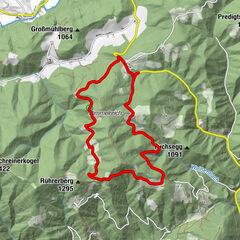
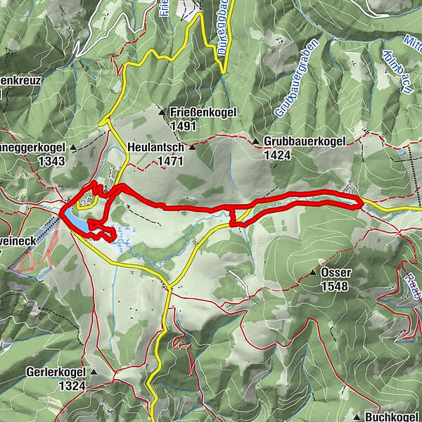
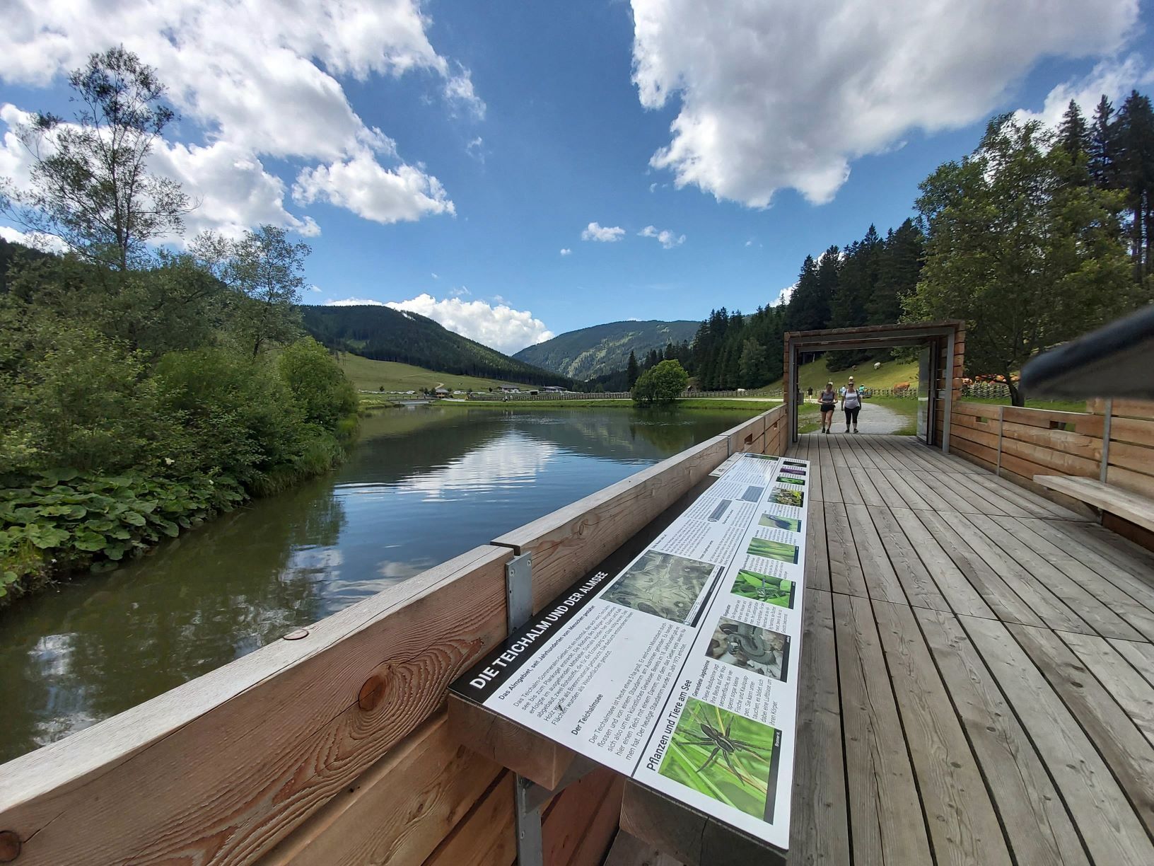
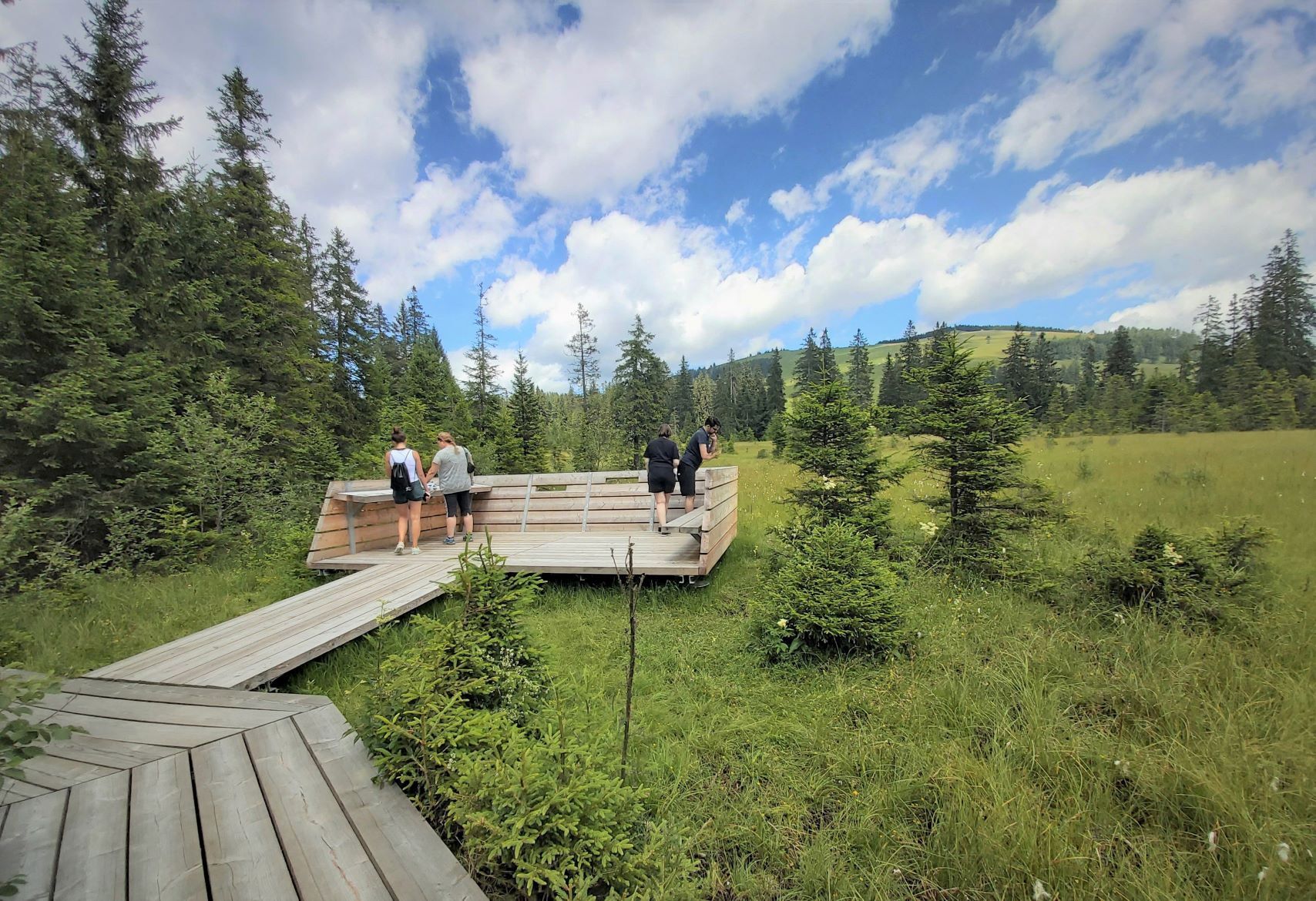
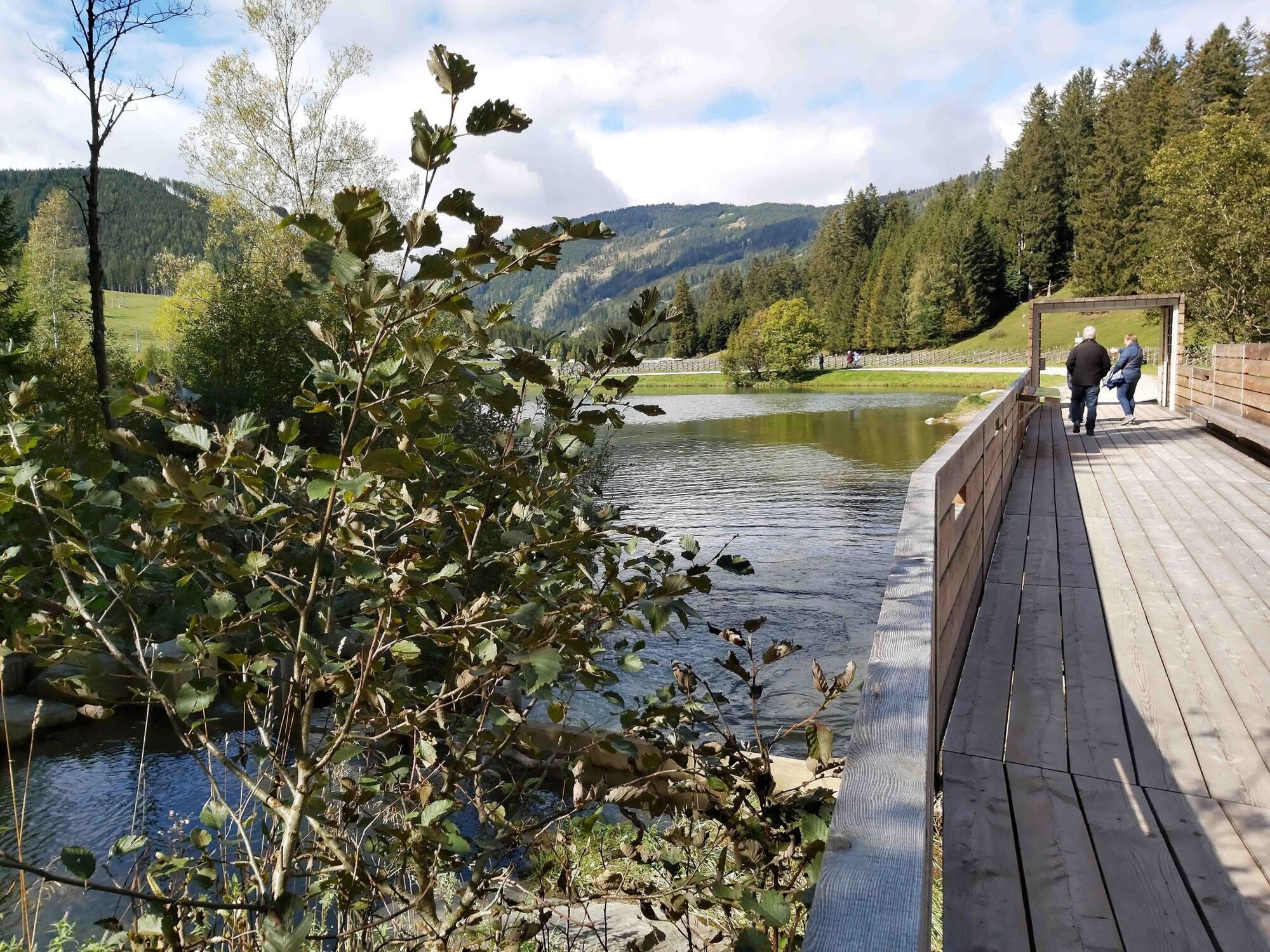
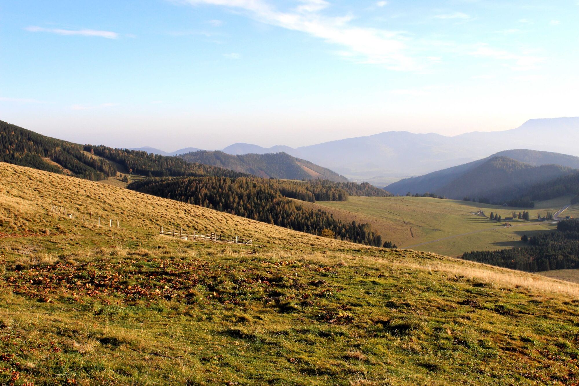
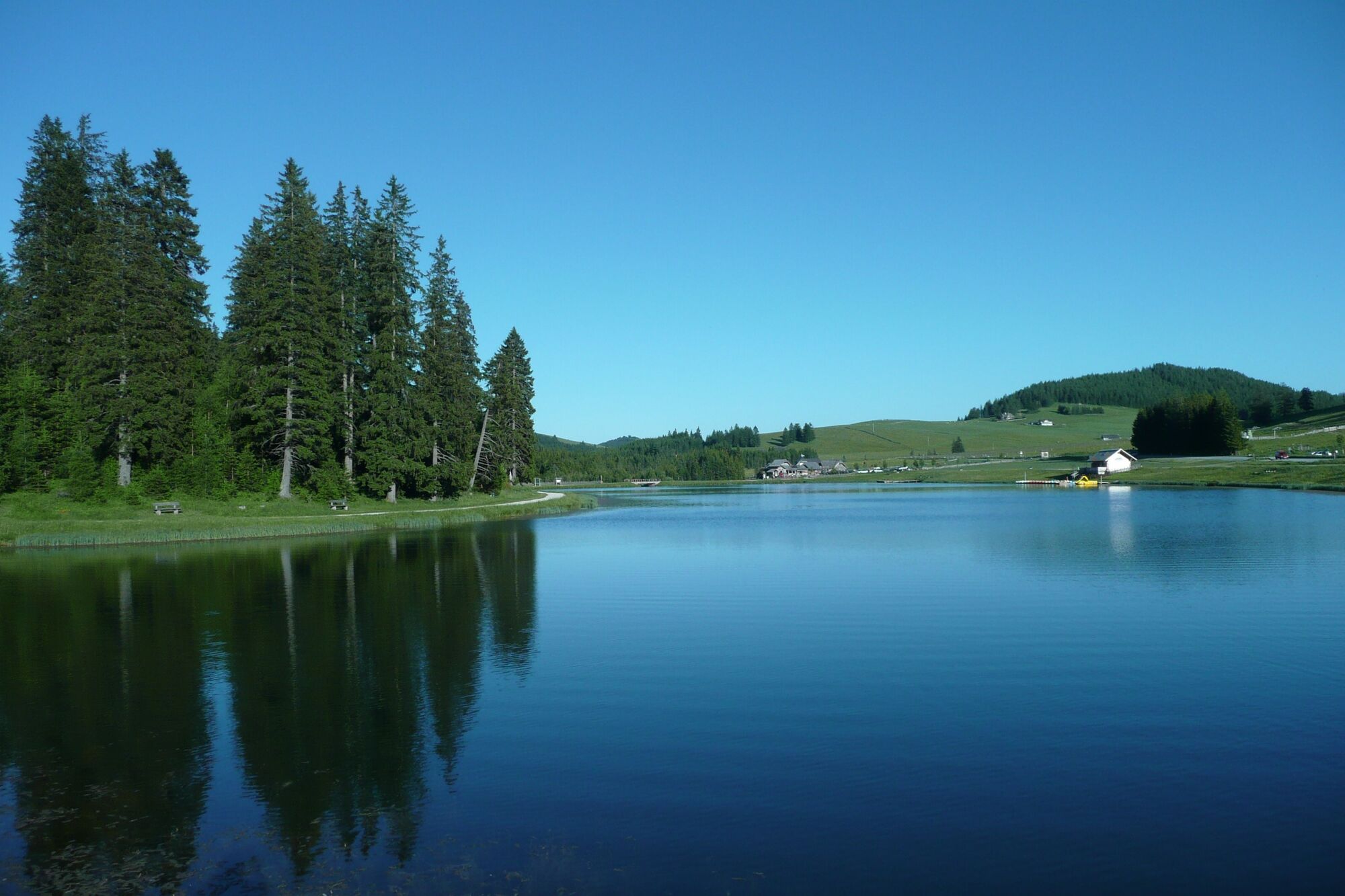
A leisurely round on the Teichalm in the Almenland Nature Park in Styria - with the Teichalmsee and with the moor nature trail.
- Difficulté
-
facile
- Évaluation
-
- Parcours
-
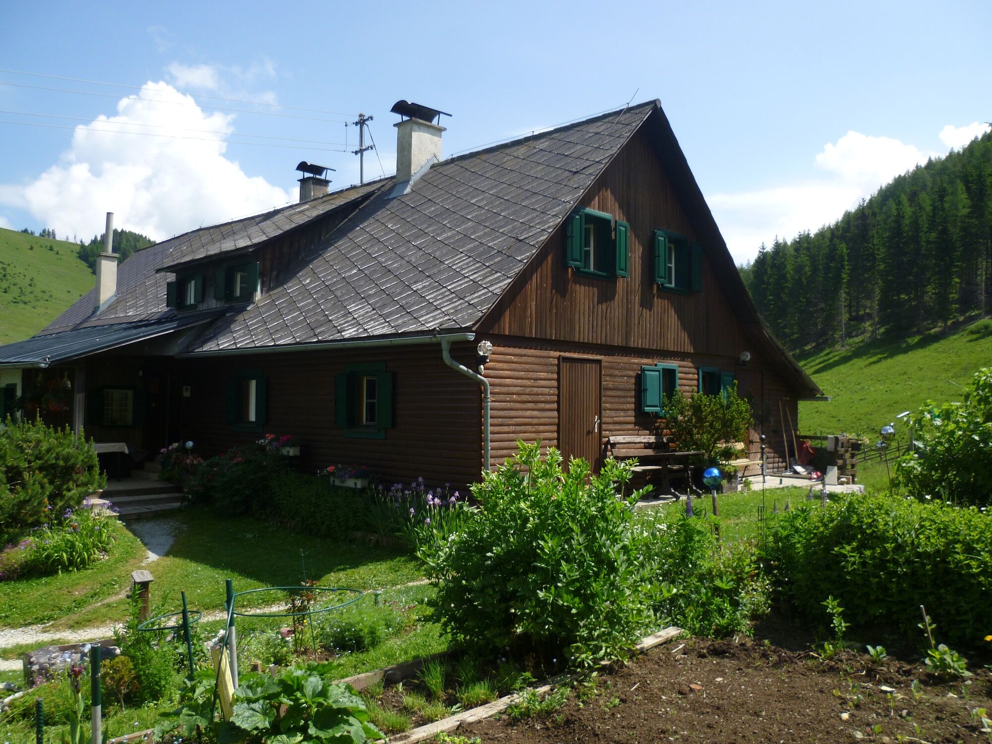
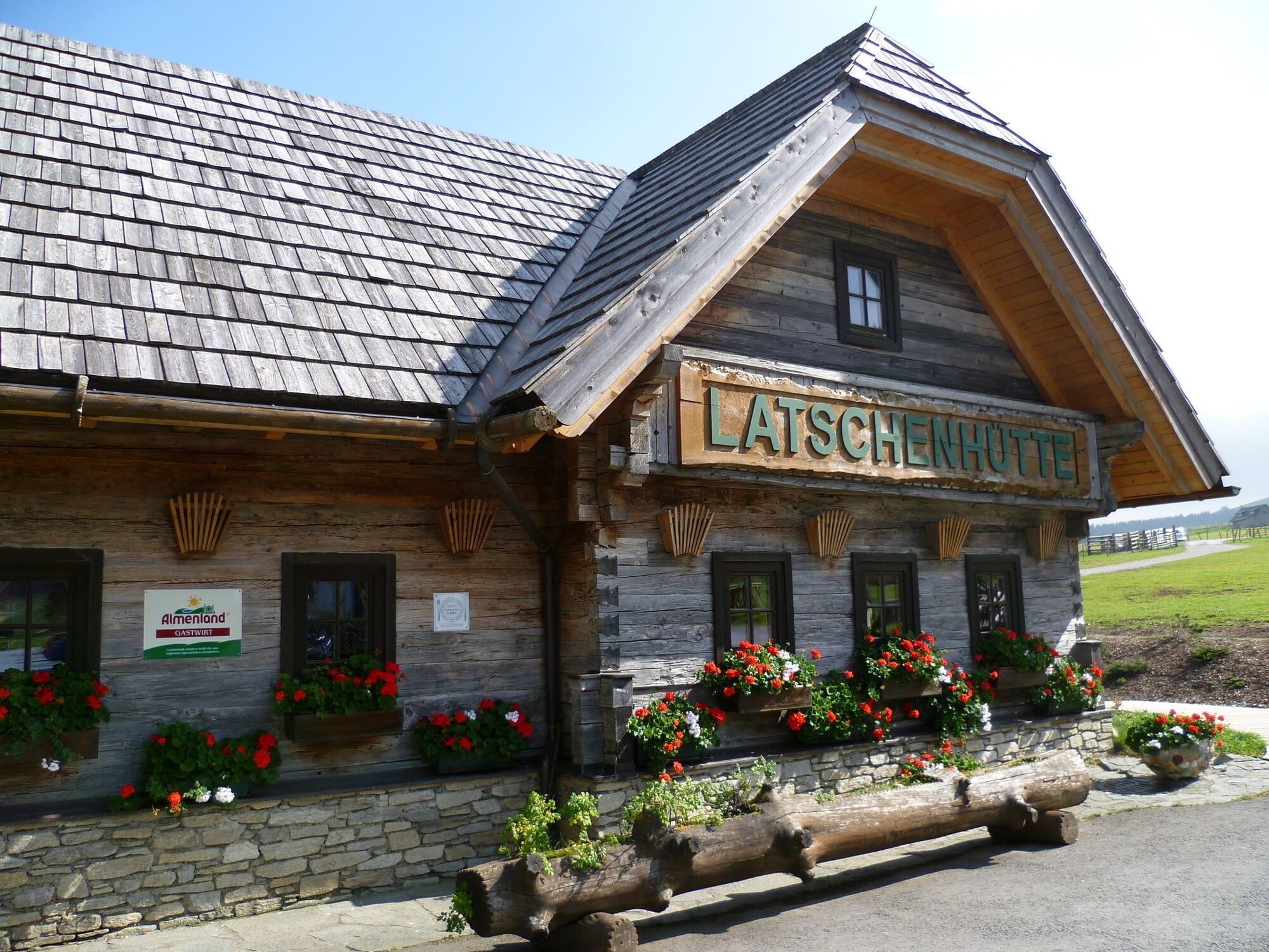
Holzmeister3,7 kmTeichalm8,1 kmAlmgasthof Teichwirt (1.200 m)8,2 kmLatschenhütte8,9 km
- Meilleure saison
-
janv.févr.marsavrilmaijuinjuil.aoûtsept.oct.nov.déc.
- Hauteur maximale
- 1.227 m
- Point de mire
-
Teichalm Lake
- Profil en hauteur
-


-

-
AuteurLa randonnée Teichalm - Round Trip with Moorlehrpfad est utilisé par outdooractive.com fourni par.
GPS Downloads


Informations générales
Point de rassemblement
Flore
Prometteur
Autres parcours dans les régions
-
Hochsteiermark
4066
-
Naturpark Almenland
1766
-
Fladnitz an der Teichalm
577