
Dates des itinéraires
7,73km
836
- 1.034m
129hm
129hm
03:00h

- Brève description
-
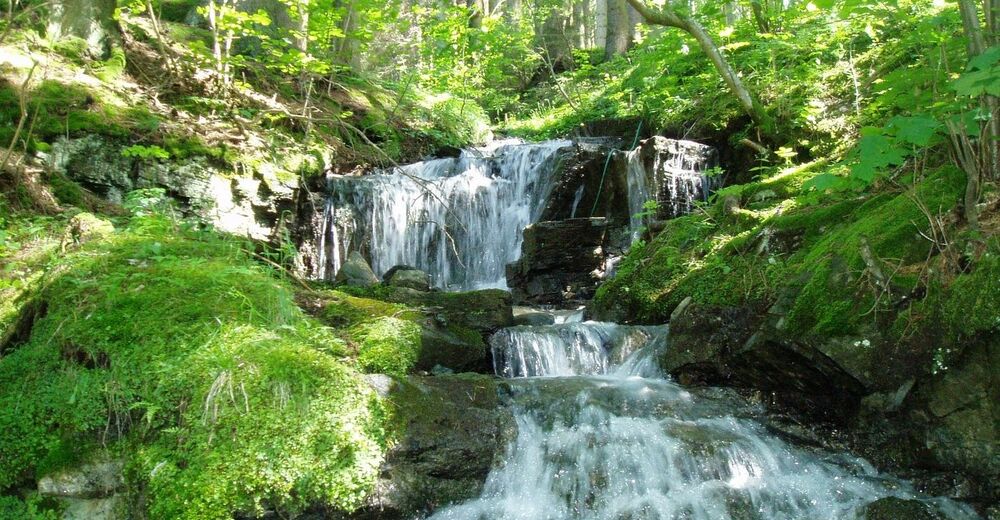
This downhill hiking trail delights with surprises and cool water.
- Difficulté
-
facile
- Évaluation
-
- Point de départ
-
Seidl Inn in Zeutschach
- Parcours
-
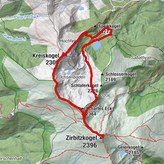
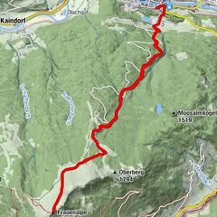
ZeutschachFischerwirt1,6 kmGraslupp2,0 kmZecki's Hütte3,3 kmUrsprungbach3,5 kmSankt Marein bei Neumarkt5,9 kmPfarrkirche hl. Katharina7,6 kmNeumarkt in der Steiermark7,7 km
- Meilleure saison
-
janv.févr.marsavrilmaijuinjuil.aoûtsept.oct.nov.déc.
- Hauteur maximale
- Zeutschach GH Seidl (1.034 m)
- Repos/Rassembler
-
Inn Seidl, Fischerwirt and Forellenfarm
- Cartes


GPS Downloads


Nature du chemin
Asphalte
Gravier
Pelouse
Forêt
Rocher
Exposé
Autres parcours dans les régions