Stage 21 From Glacier to Wine North Route Mürzzuschlag - Pretul Rosegger Schutzhaus

Randonnée

© Steiermark Tourismus/Harry Schiffer - Harry Schiffer

© Steiermark - Das Grüne Herz

© TV Hochsteiermark - Ute Gurdet

© TV Hochsteiermark - Ute Gurdet

© (c) Steiermark Tourismus/Manfred Polansky - Manfred Polansky

© Steiermark Tourismus/Harry Schiffer - Harry Schiffer

© (c) Steiermark Tourismus/Harry Schiffer - Harry Schiffer

© Steiermark Tourismus/Andreas Steininger - Andreas Steininger

© (c) Steiermark Tourismus/Harry Schiffer - Harry Schiffer

© Oststeiermark Tourismus - Birgit Kandlbauer

- Brève description
-
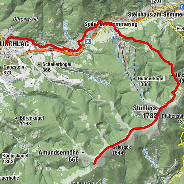
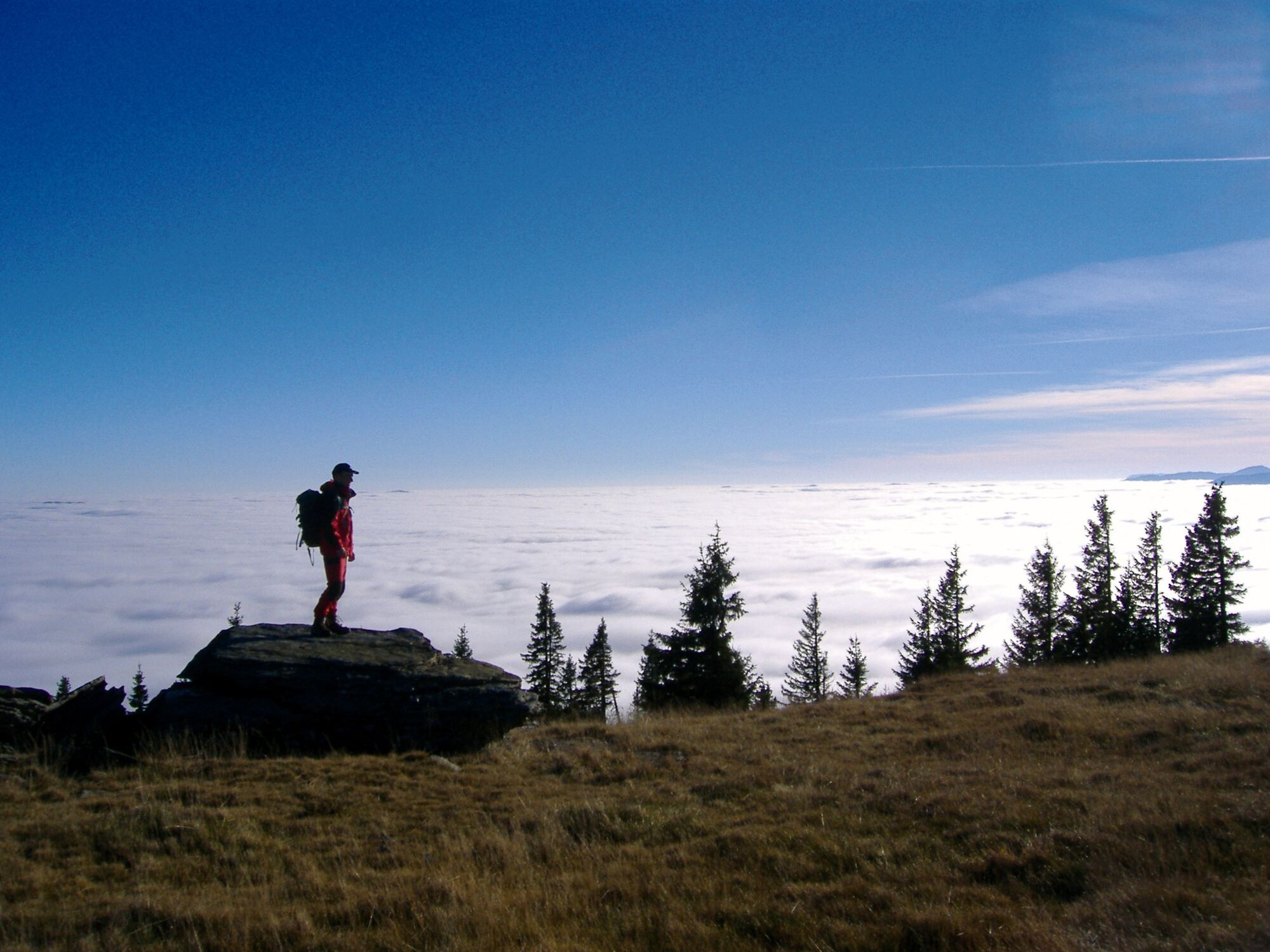
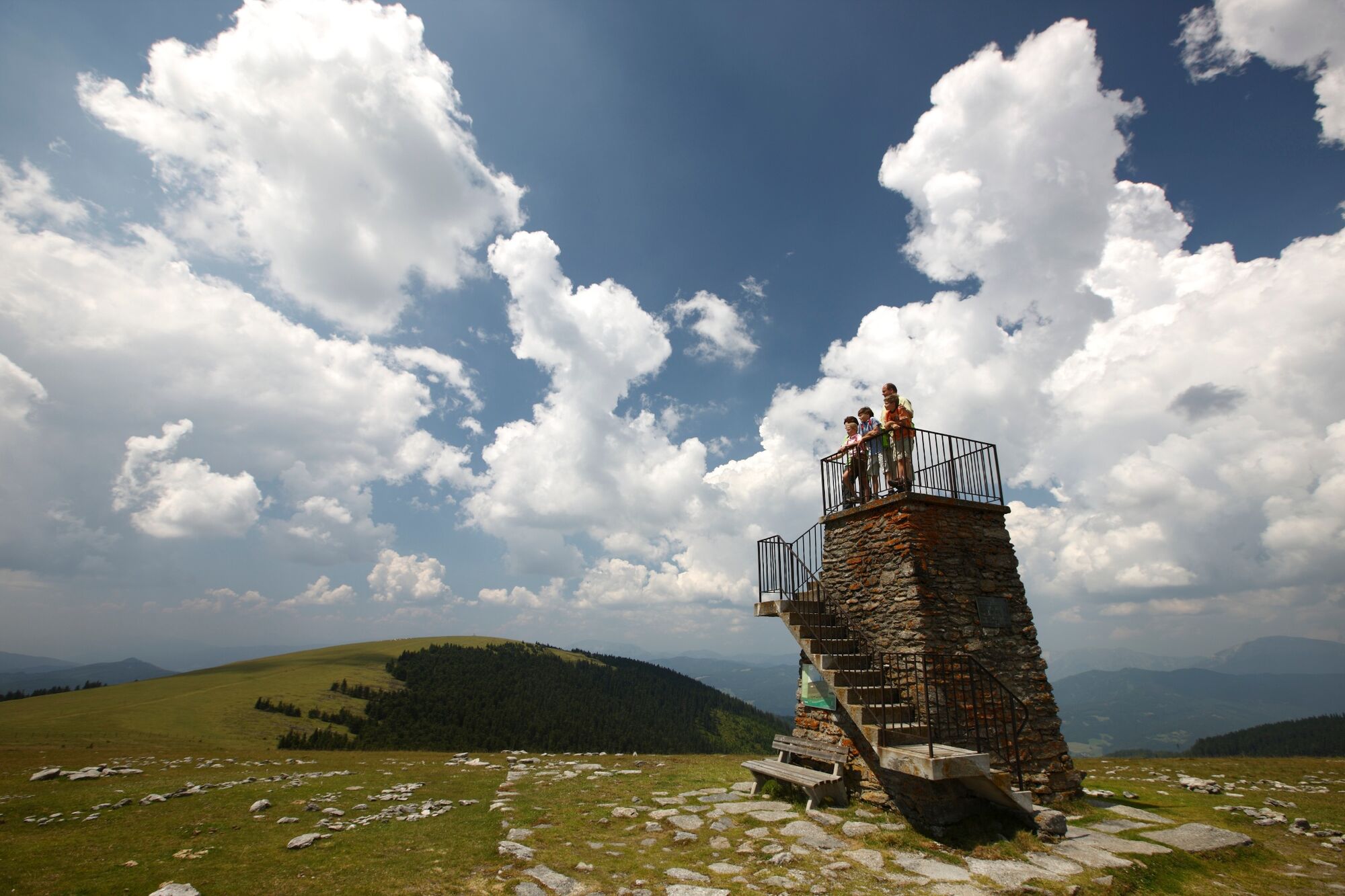
On this stage of the hiking route "From Glacier to Wine" we are on historical tracks in several respects. While the first part of the hike takes us along the UNESCO World Heritage Semmering Railway on the railroad hiking trail of the same name, towards the end of the tour we reach the Stuhleck, the first Alpine peak to be climbed on skis in 1892 and thus considered the cradle of skiing. The first section to Spital am Semmering is quite leisurely, then it's almost 1,000 meters of altitude uphill to the highest peak in the Eastern Alps, the Stuhleck, to finally march the last kilometers leisurely over the alpine pastures of the Fischbacher Alps downhill to the Pretul.
- Difficulté
-
moyen
- Évaluation
-
- Parcours
-
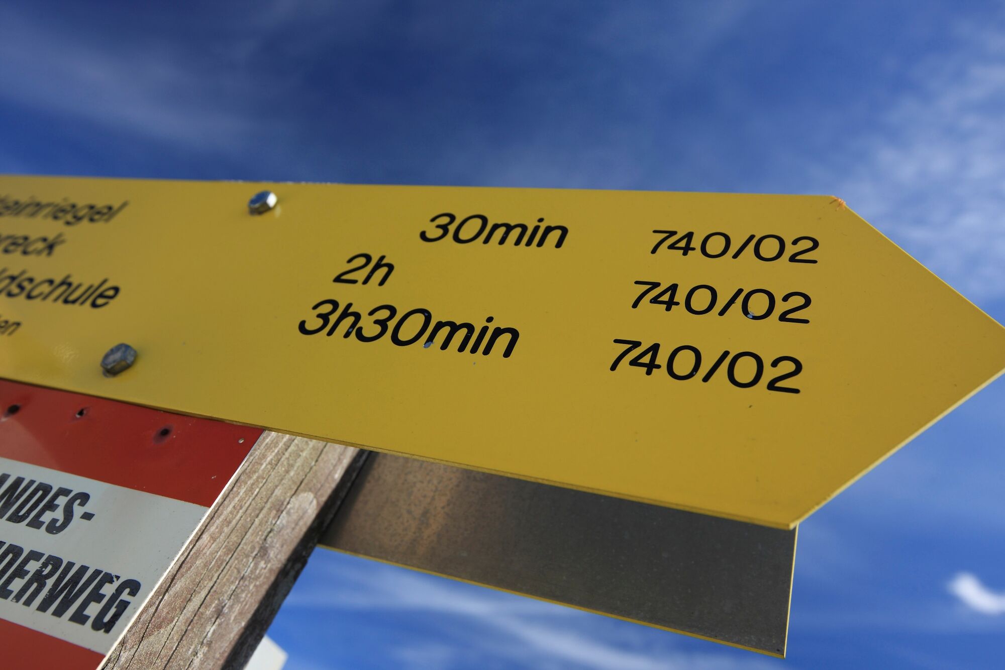
MürzzuschlagGasthaus Edlacherhof3,2 kmEdlach3,3 kmGrautschenhof5,1 kmZatzkakapelle7,6 kmSpital am Semmering8,0 kmSpital am Semmering8,2 kmPfarrkirche8,6 kmHocheck (1.488 m)13,6 kmKarl-Lechner-Haus (1.450 m)14,8 kmQuelle von A.G.H.15,6 kmAlois-Günther-Haus16,2 kmStuhleck (1.782 m)16,3 kmGrazer Stuhleck (1.635 m)19,0 kmGeiereck (1.644 m)20,1 kmPretul (1.656 m)20,9 kmRoseggerhaus21,4 km
- Meilleure saison
-
janv.févr.marsavrilmaijuinjuil.aoûtsept.oct.nov.déc.
- Hauteur maximale
- 1.775 m
- Point de mire
-
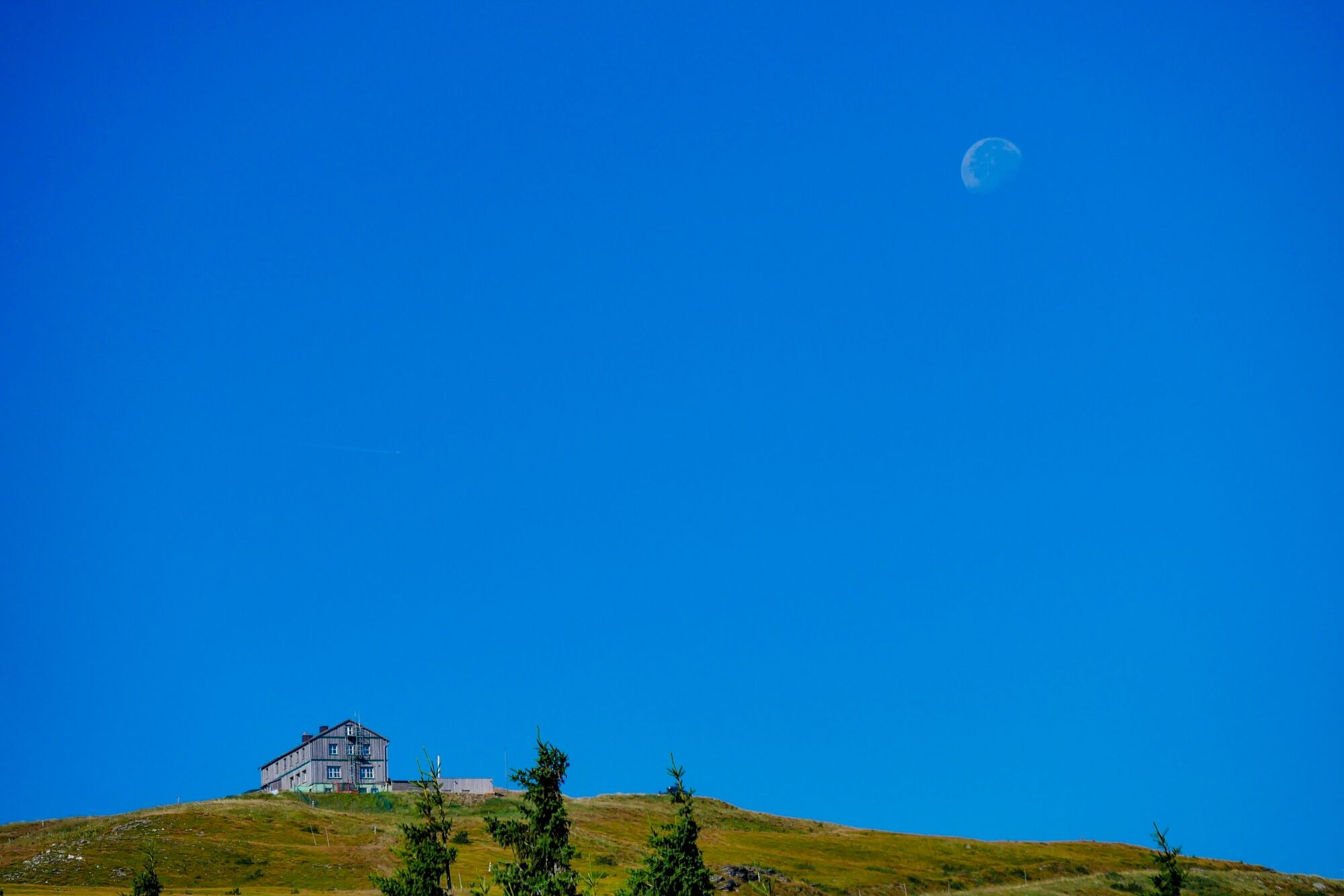
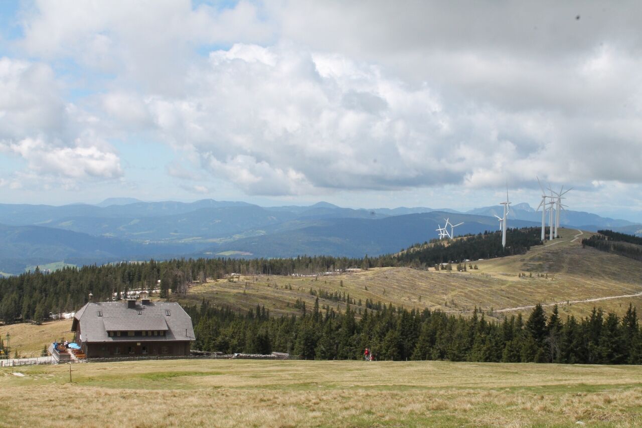
Rosegger Schutzhaus
- Profil en hauteur
-


-

-
AuteurLa randonnée Stage 21 From Glacier to Wine North Route Mürzzuschlag - Pretul Rosegger Schutzhaus est utilisé par outdooractive.com fourni par.
GPS Downloads


Informations générales
Point de rassemblement
Culturel/Historiquement
Flore
Faune
Prometteur
Autres parcours dans les régions
-
Hochsteiermark
4084
-
Waldheimat
2198
-
Spital am Semmering / Stuhleck
788


