

© Tourismusverband Grimming-Donnersbachtal - Christoph Lukas

© Erlebnisregion Schladming-Dachstein - Melanie Kraxner

© Erlebnisregion Schladming-Dachstein - Christoph Lukas

© Erlebnisregion Schladming-Dachstein - Christoph Lukas

© Erlebnisregion Schladming-Dachstein - Christoph Lukas

© Erlebnisregion Schladming-Dachstein - Melanie Kraxner

- Brève description
-
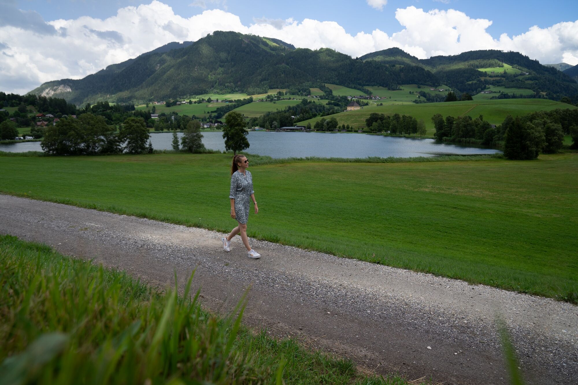
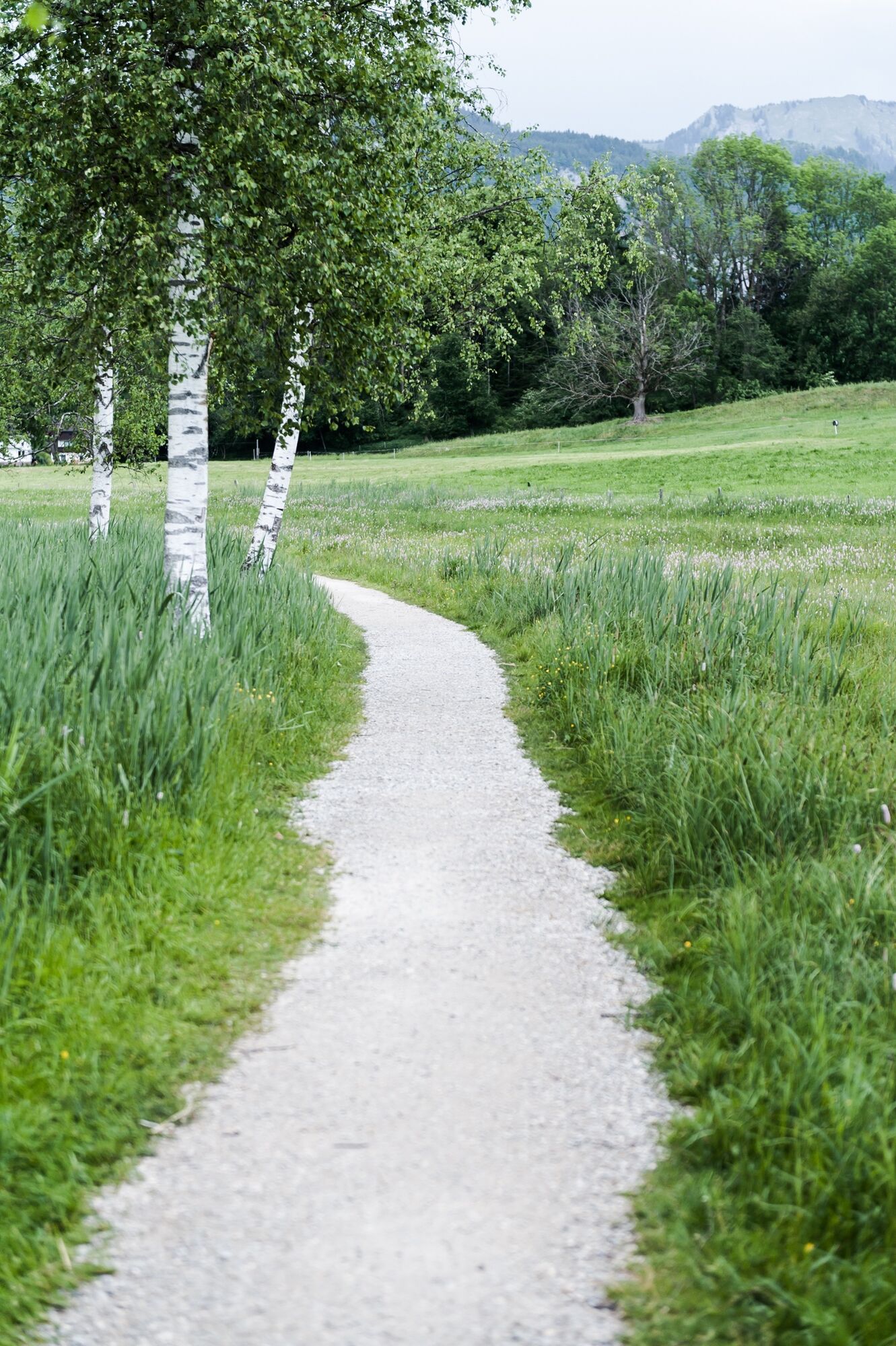
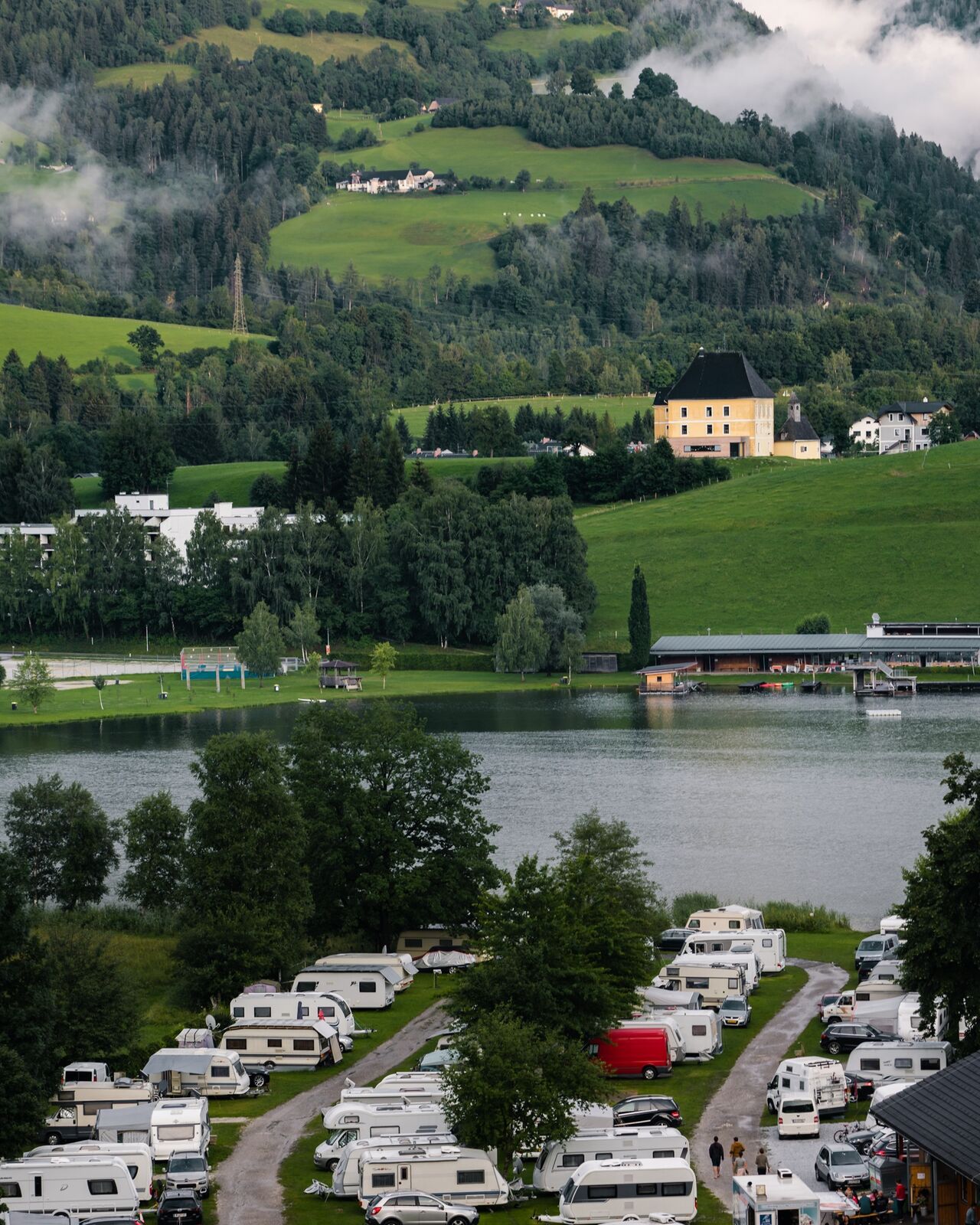
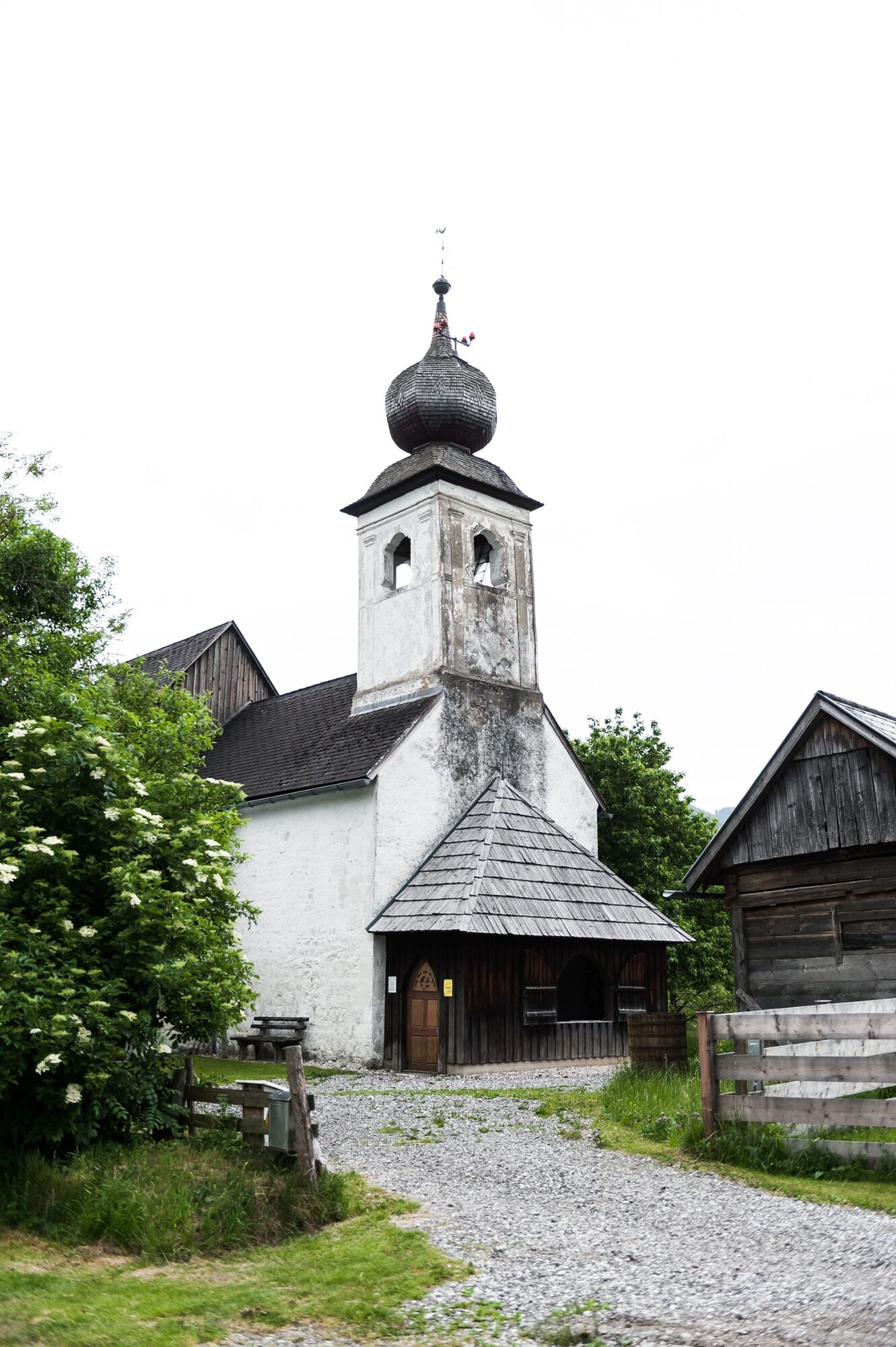
Along the lake to the campsite, continue to Schlattham and over the Sallaberg. Continue next to the Enns or along the edge of the forest to Hohenberg and back to the village.
- Difficulté
-
facile
- Évaluation
-
- Parcours
-
Aigen im Ennstal0,1 kmSchlattham2,5 kmSallaberg3,5 kmHohenberg6,7 kmSallaberg am See7,9 kmAigen im Ennstal8,3 km
- Meilleure saison
-
janv.févr.marsavrilmaijuinjuil.aoûtsept.oct.nov.déc.
- Hauteur maximale
- 700 m
- Point de mire
-
Parking at the tennis court
- Profil en hauteur
-


-

-
AuteurLa randonnée Roundway-Kulm est utilisé par outdooractive.com fourni par.
GPS Downloads


Informations générales
Prometteur
Autres parcours dans les régions


