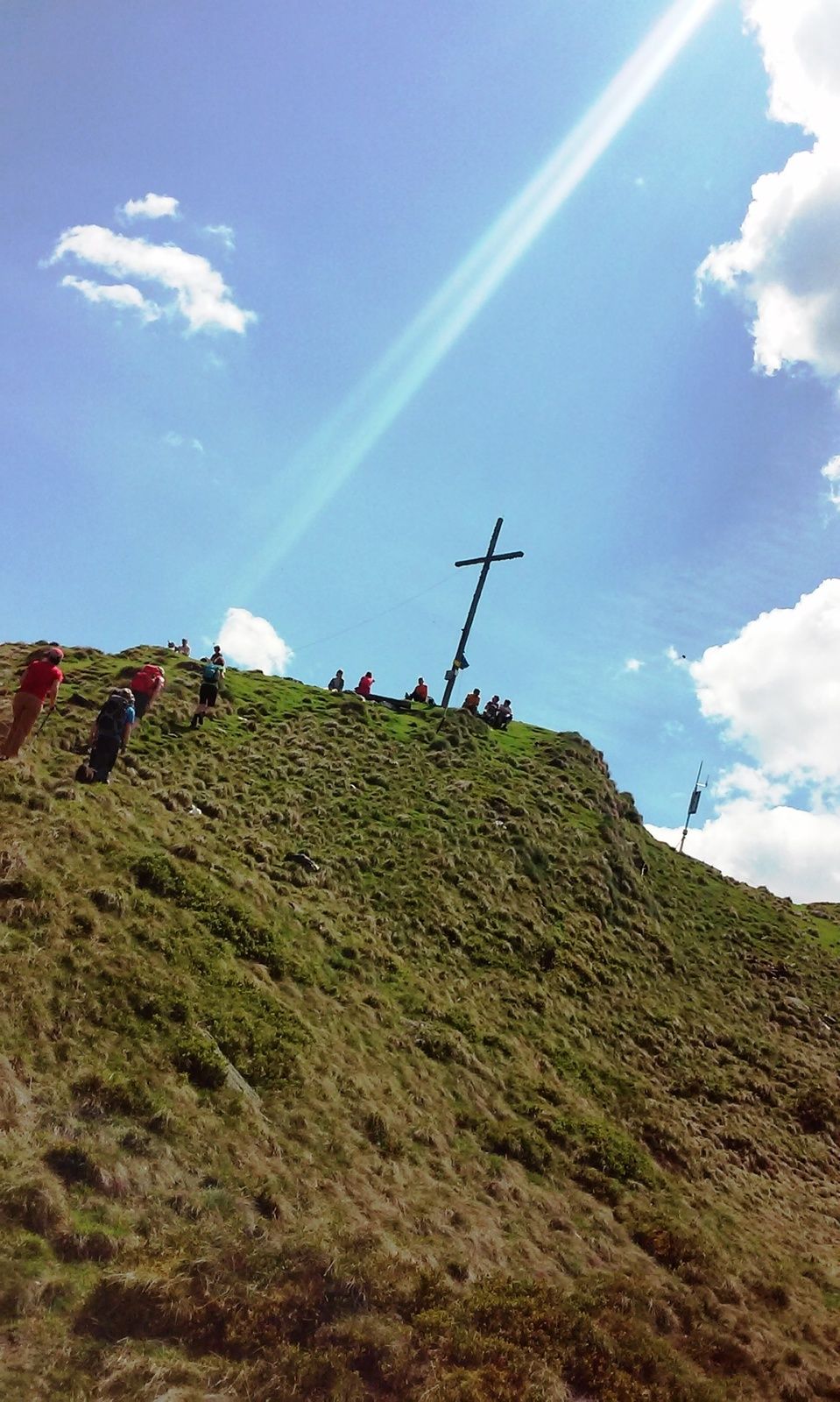
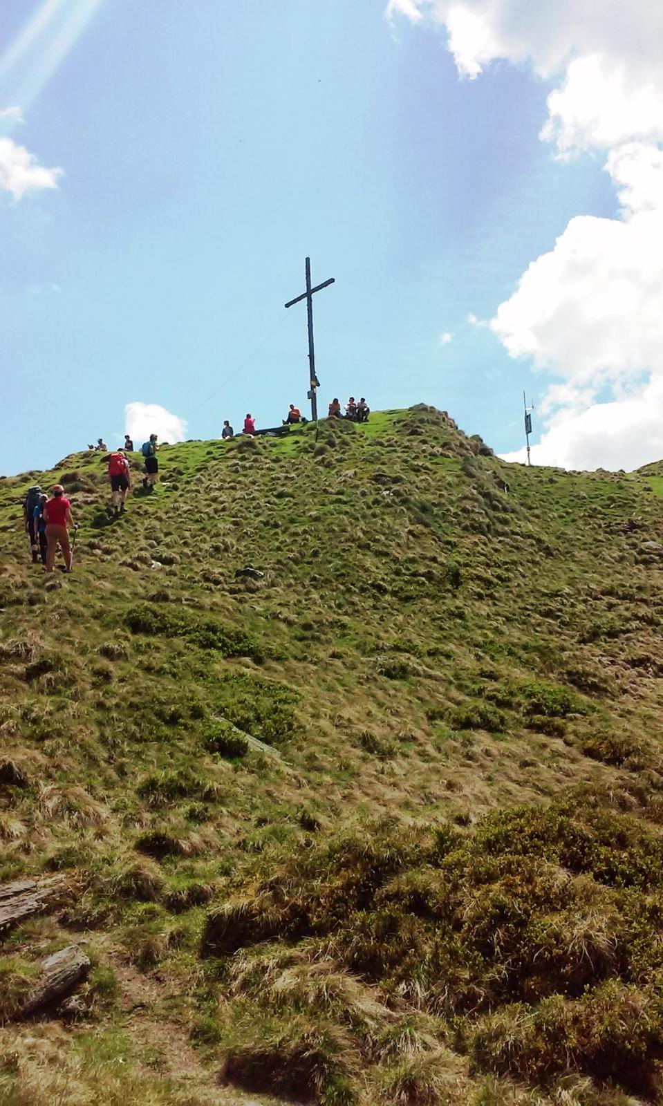
Kochofen (1,920m), round trip via the Schladming Alm

Randonnée
© Erlebnisregion Schladming-Dachstein - Schladming Dachstein

© Erlebnisregion Schladming-Dachstein - Schladming Dachstein

© Erlebnisregion Schladming-Dachstein - Schladming Dachstein

© Erlebnisregion Schladming-Dachstein - Schladming Dachstein

© Erlebnisregion Schladming-Dachstein - Schladming Dachstein

© Erlebnisregion Schladming-Dachstein - Schladming Dachstein

© Erlebnisregion Schladming-Dachstein - Schladming Dachstein

© Erlebnisregion Schladming-Dachstein - Schladming Dachstein

© Erlebnisregion Schladming-Dachstein - Schladming Dachstein

© Erlebnisregion Schladming-Dachstein - Schladming Dachstein
Dates des itinéraires
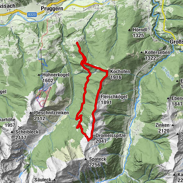
14,93km
1.197
- 2.000m
1.093hm
1.054hm
06:30h
- Brève description
-
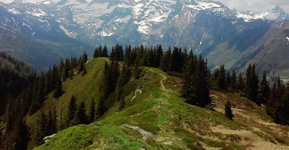
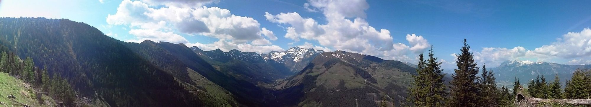
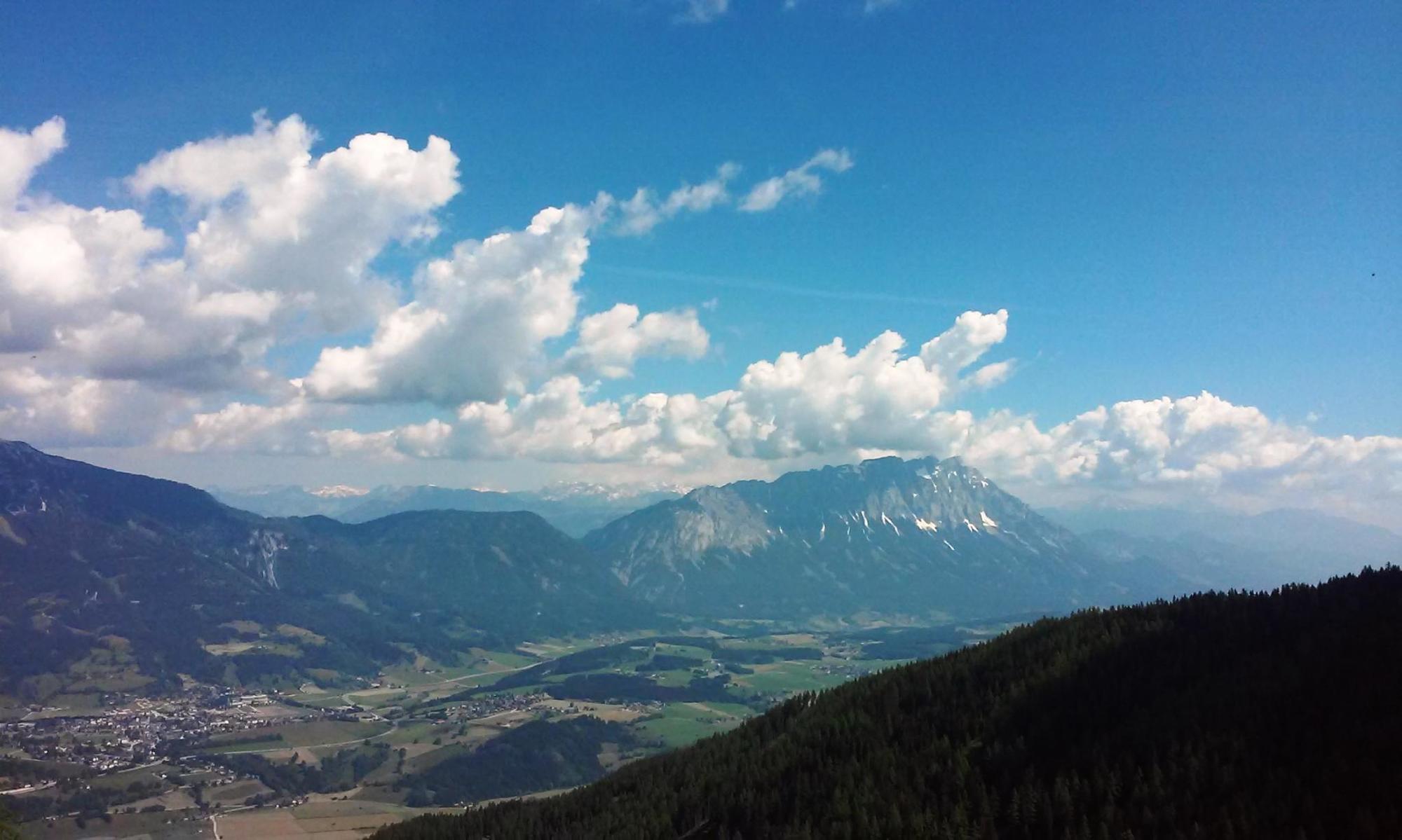
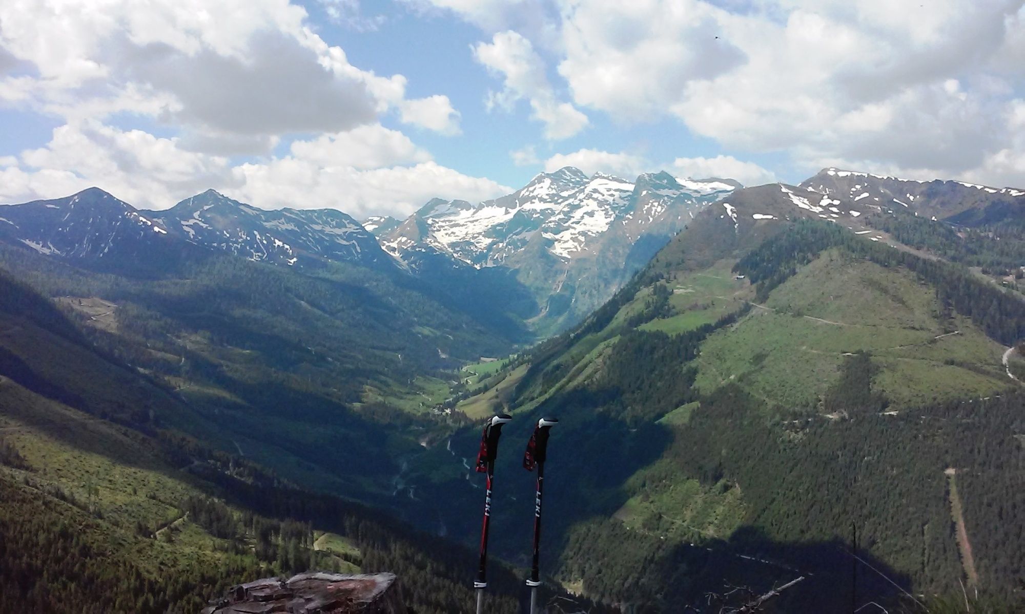
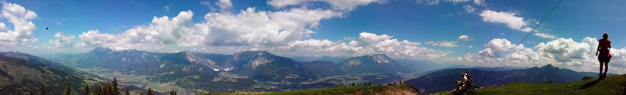
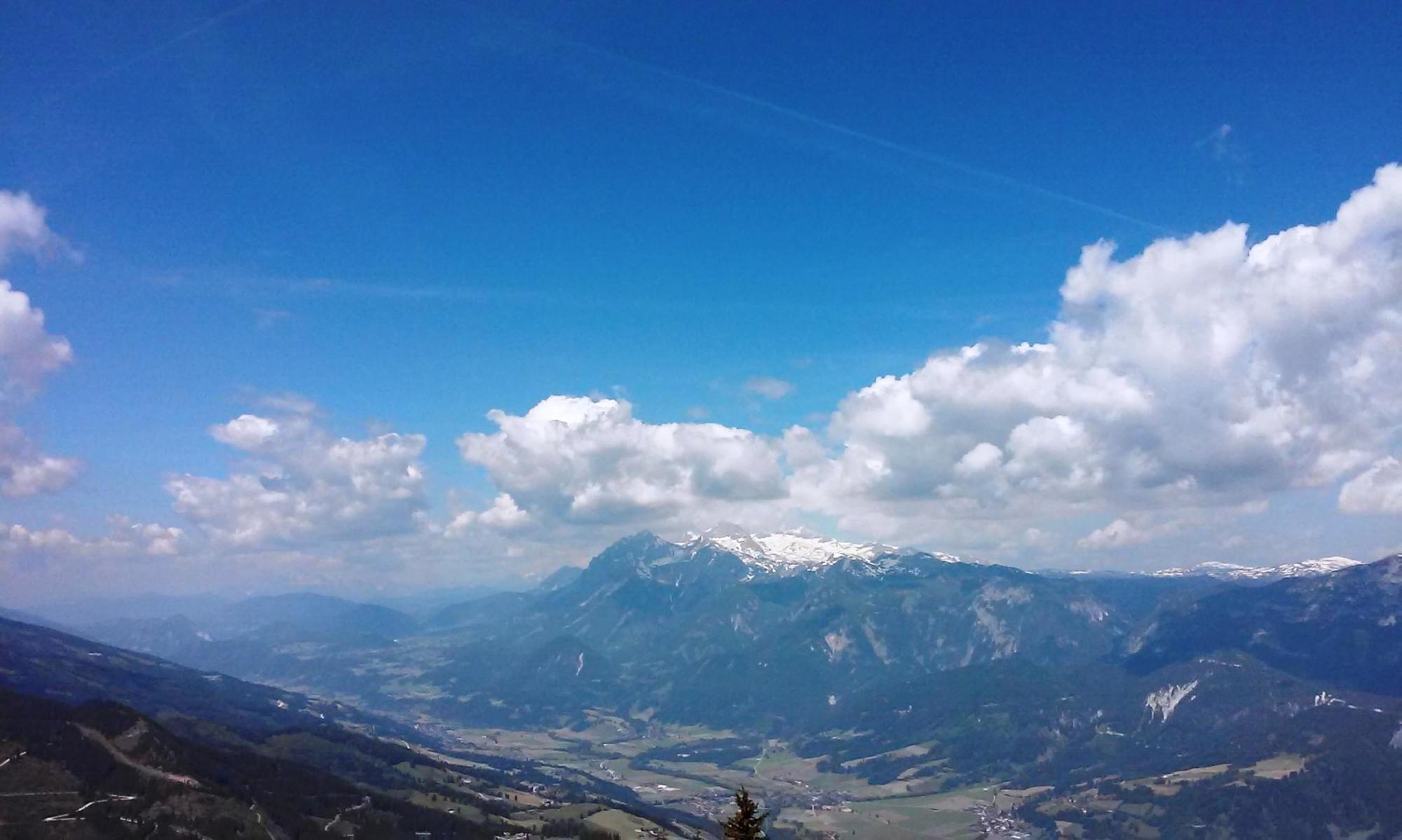
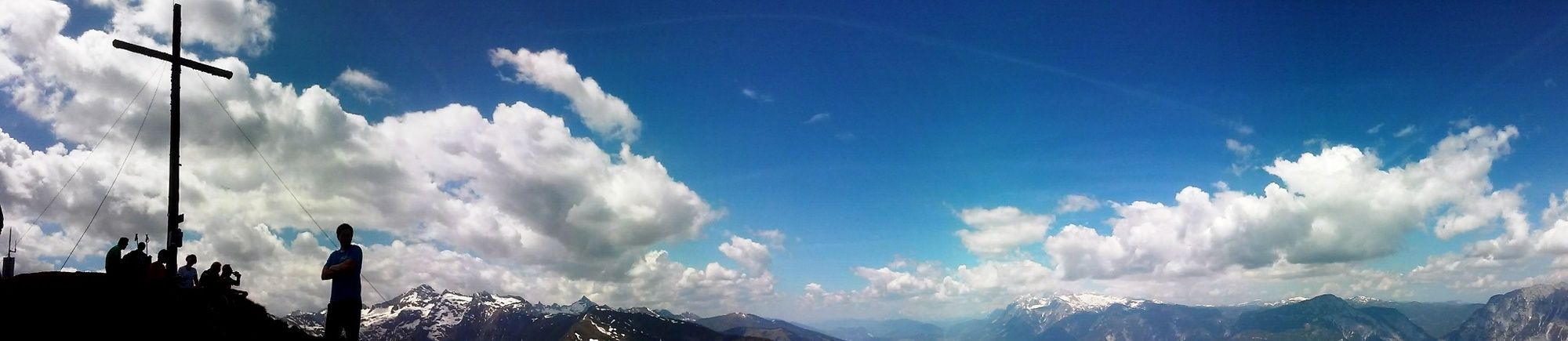
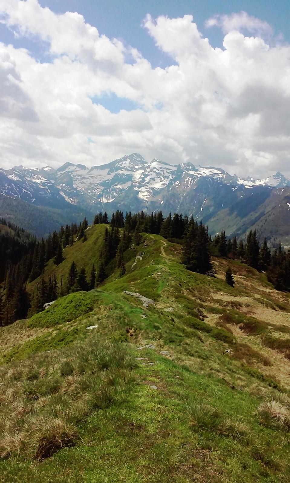
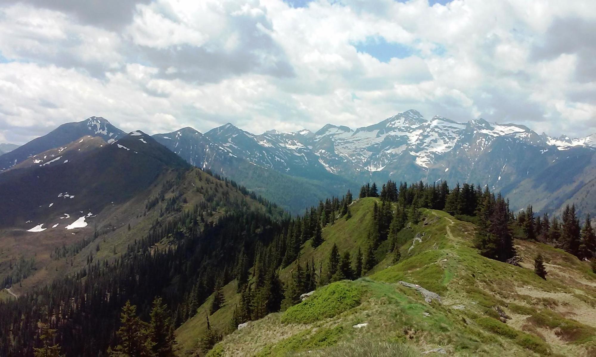
From Michaelerberghaus, you will head via Loskögerl to the Kochofen, where you can enjoy a majestic view of the Sölk and Sattental. From there, continue heading towards Spateck and take the junction towards the Schladming Alps at Schladminger Törl and back to Michaelerberghaus via the Stiegleralm.
- Difficulté
-
moyen
- Évaluation
-
- Parcours
-
MichaelerbergMichaelerberghausLoskögerl (1.548 m)1,6 kmKochofen (1.916 m)2,9 kmFleischkögel (1.891 m)4,3 kmDromeisspitze (2.047 m)6,7 kmSchladminger Törl (1.945 m)7,2 kmMichaelerberghaus14,9 kmMichaelerberg14,9 km
- Meilleure saison
-
janv.févr.marsavrilmaijuinjuil.aoûtsept.oct.nov.déc.
- Hauteur maximale
- 2.000 m
- Point de mire
-
Michaelerberghaus
- Profil en hauteur
-


-

-
AuteurLa randonnée Kochofen (1,920m), round trip via the Schladming Alm est utilisé par outdooractive.com fourni par.
GPS Downloads


Informations générales
Point de rassemblement
Prometteur
Autres parcours dans les régions
-
Schladming - Dachstein
2993
-
Gröbminger Land
1182
-
Kleinsölktal
229


