

© Reiteralm Bergbahnen - Lorenz Masser - Gerhard Pilz

© Ski Reiteralm

© Ski Reiteralm

© Gerhard Pilz - www.gpic.at - Gerhard Pilz

© Erlebnisregion Schladming-Dachstein - Gerhard Pilz

© Sigrid Hutegger - Gerhard Pilz

© Gerhard Pilz - www.gpic.at - Gerhard Pilz

© Gerhard Pilz - www.gpic.at - Gerhard Pilz

© Gerhard Pilz - www.gpic.at - Gerhard Pilz

© Gerhard Pilz
- Brève description
-
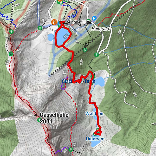
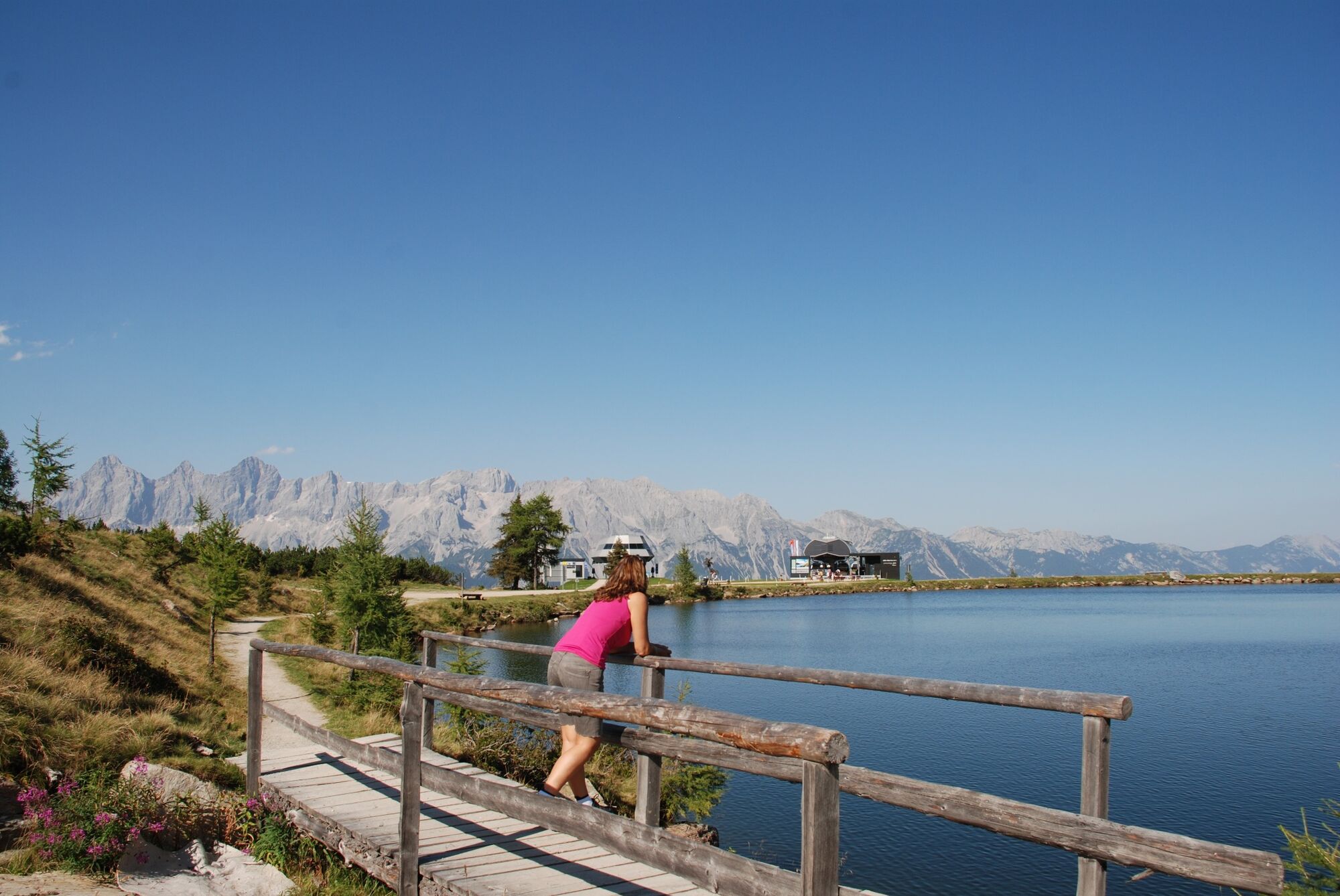
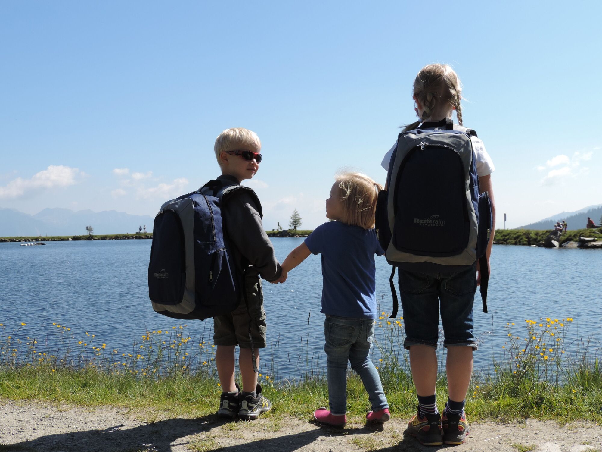
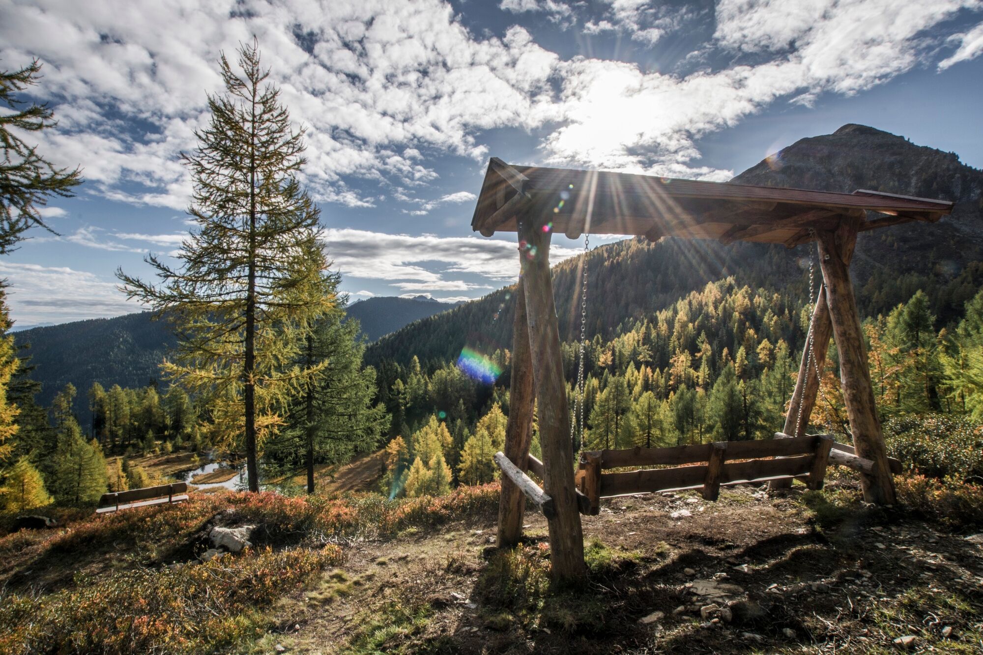
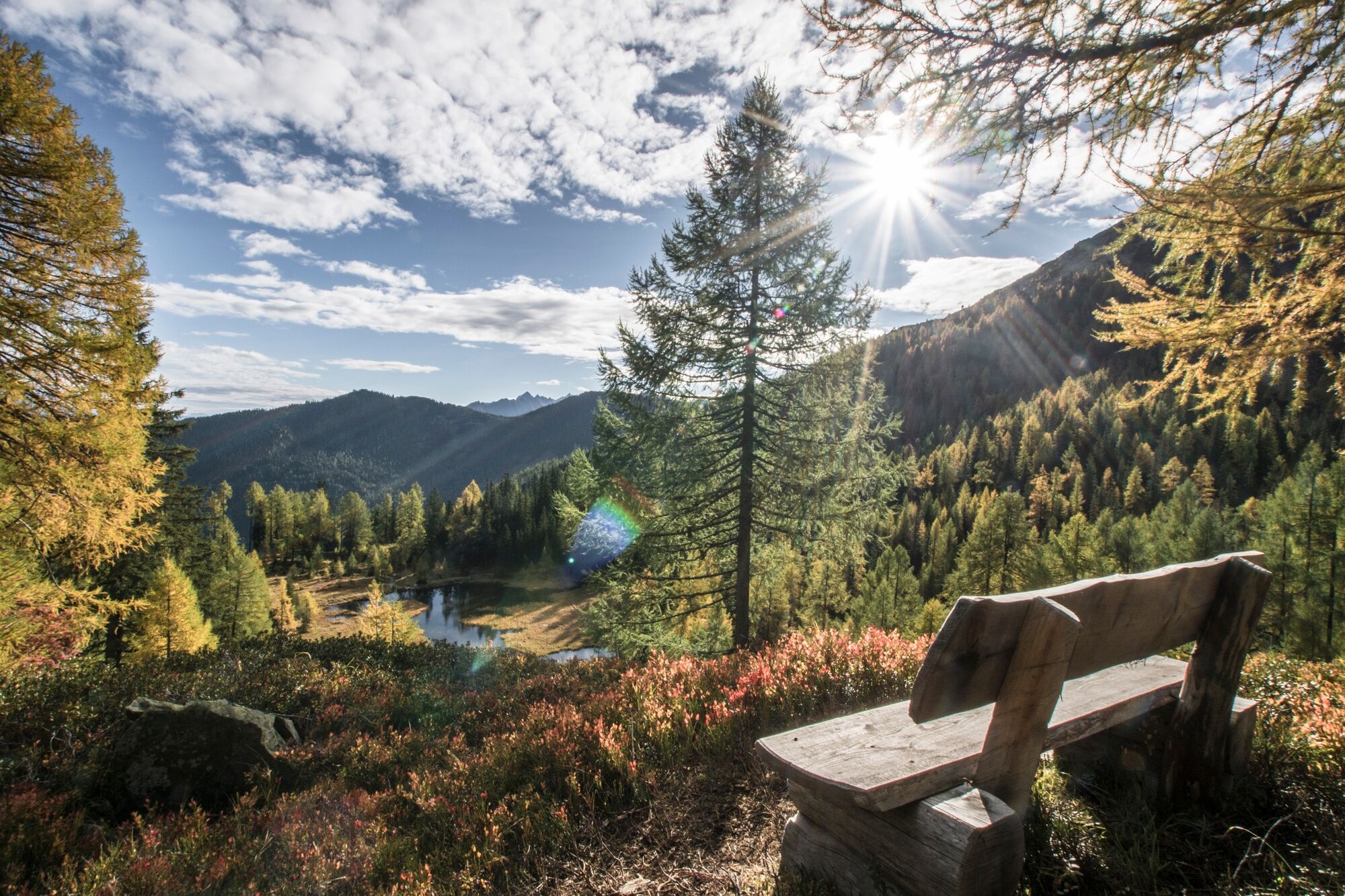
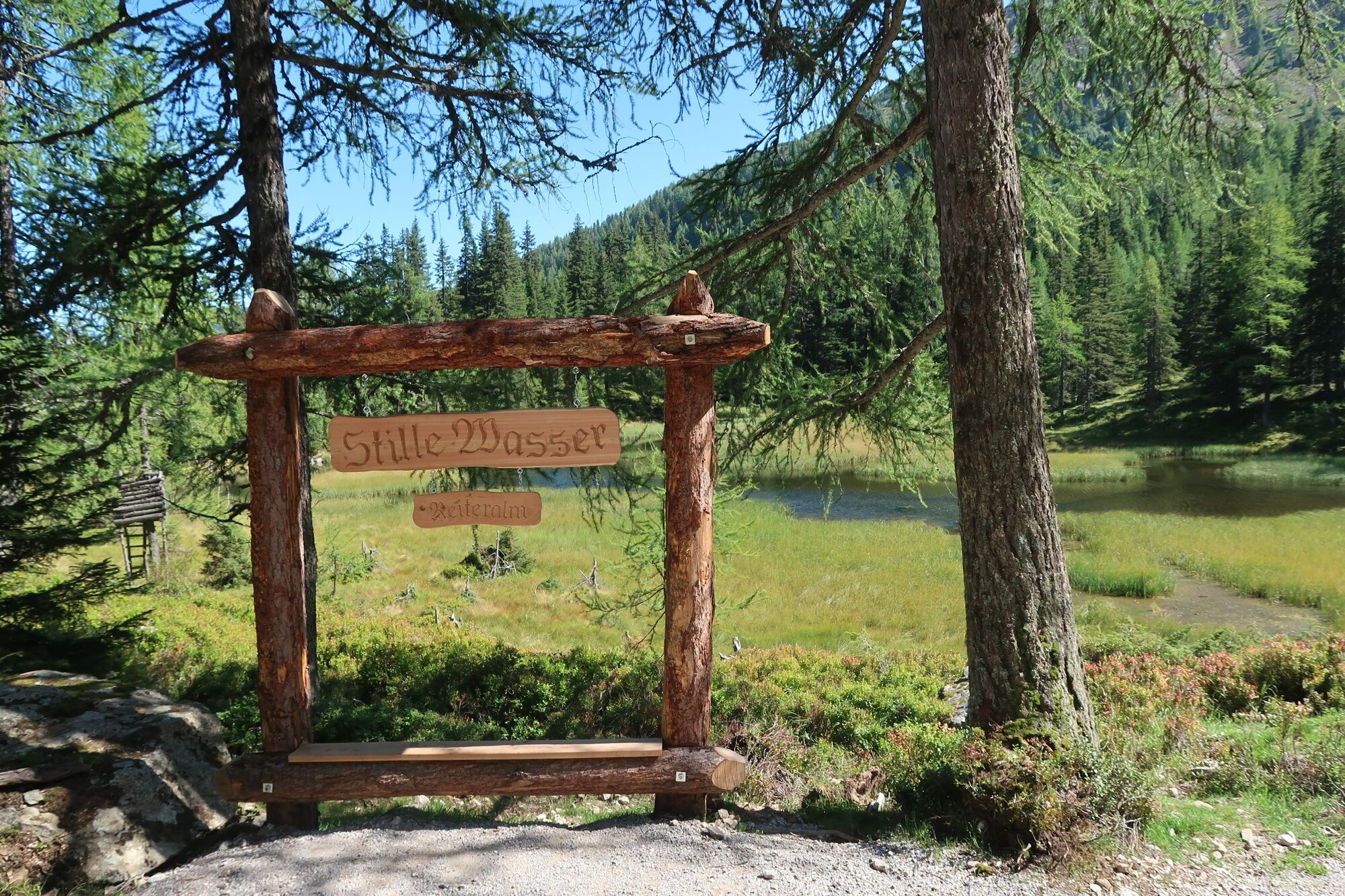
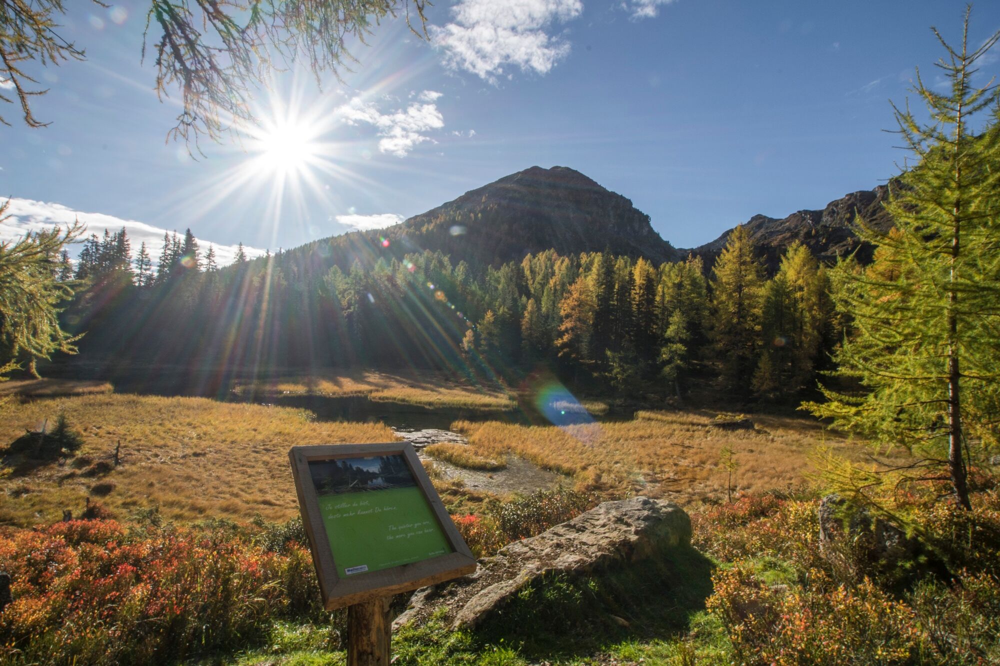
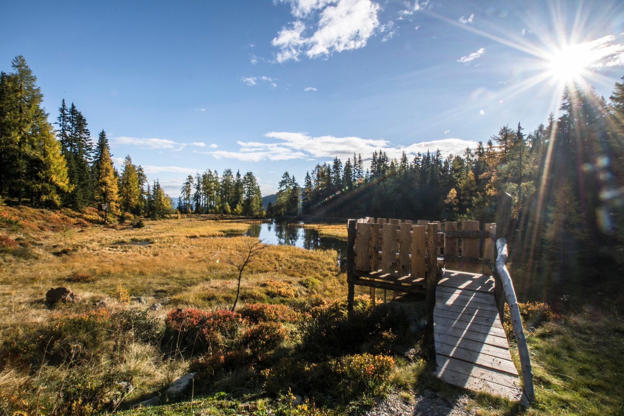
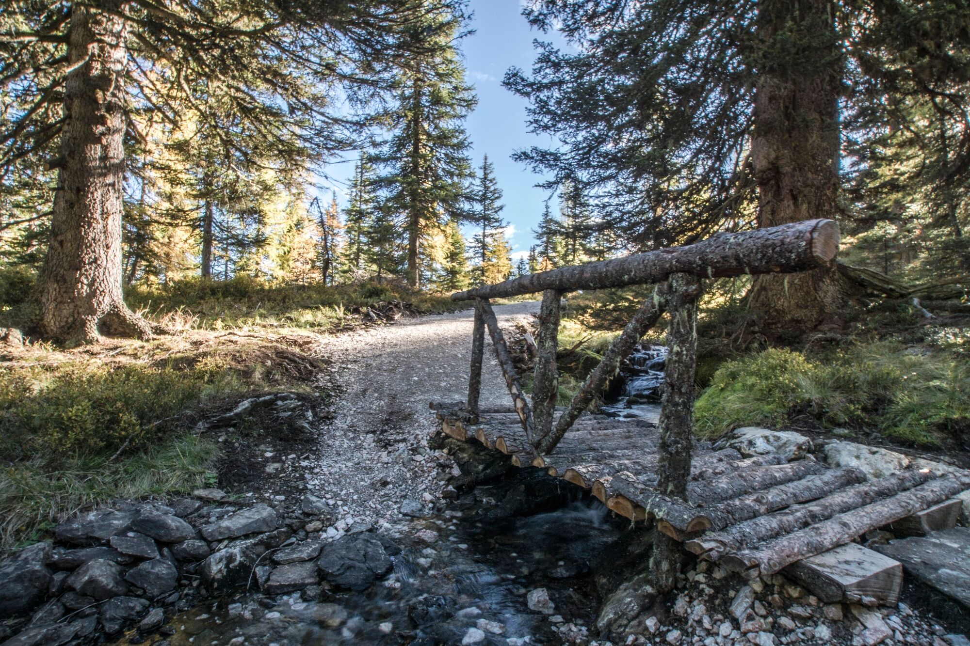
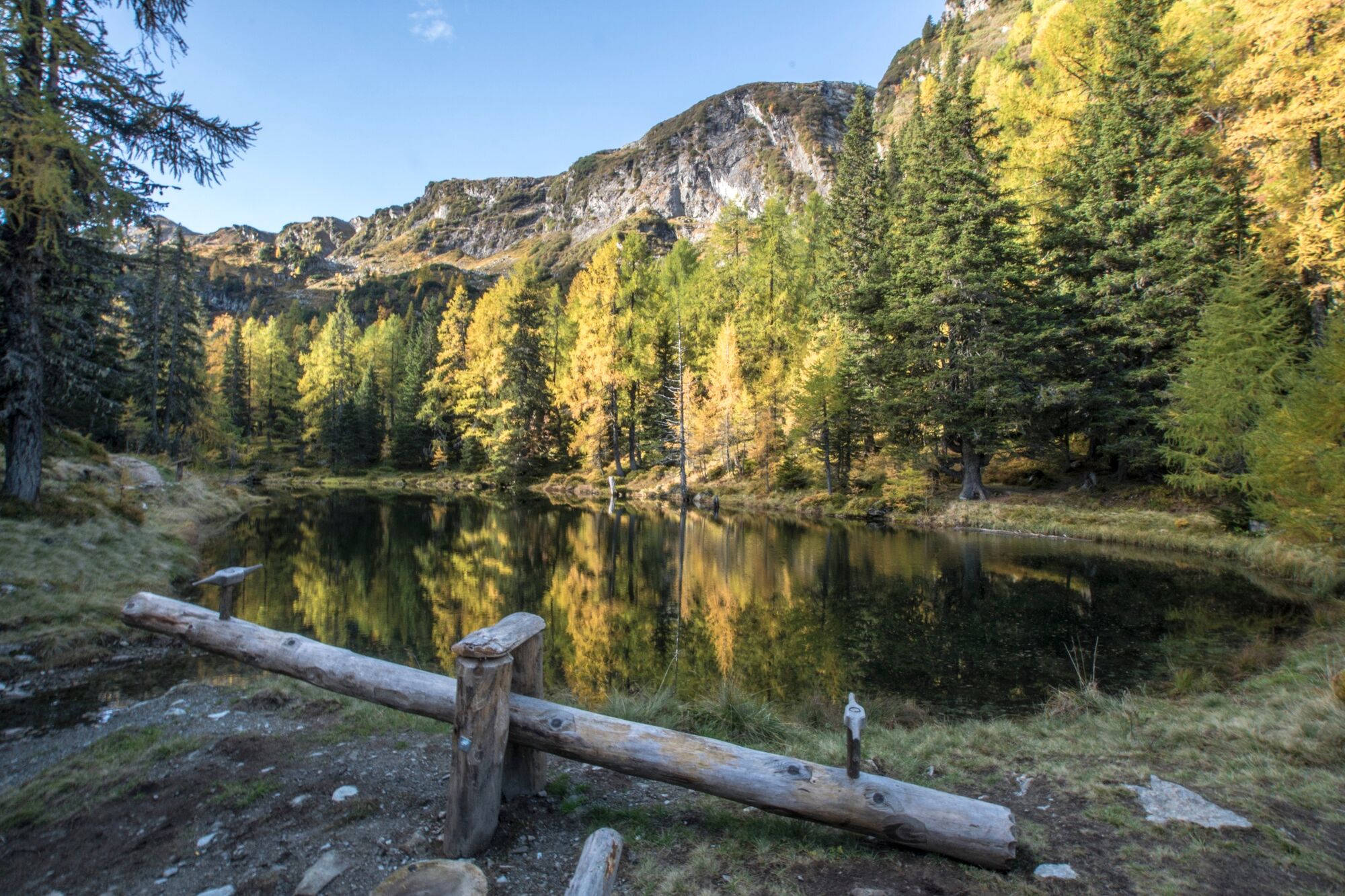
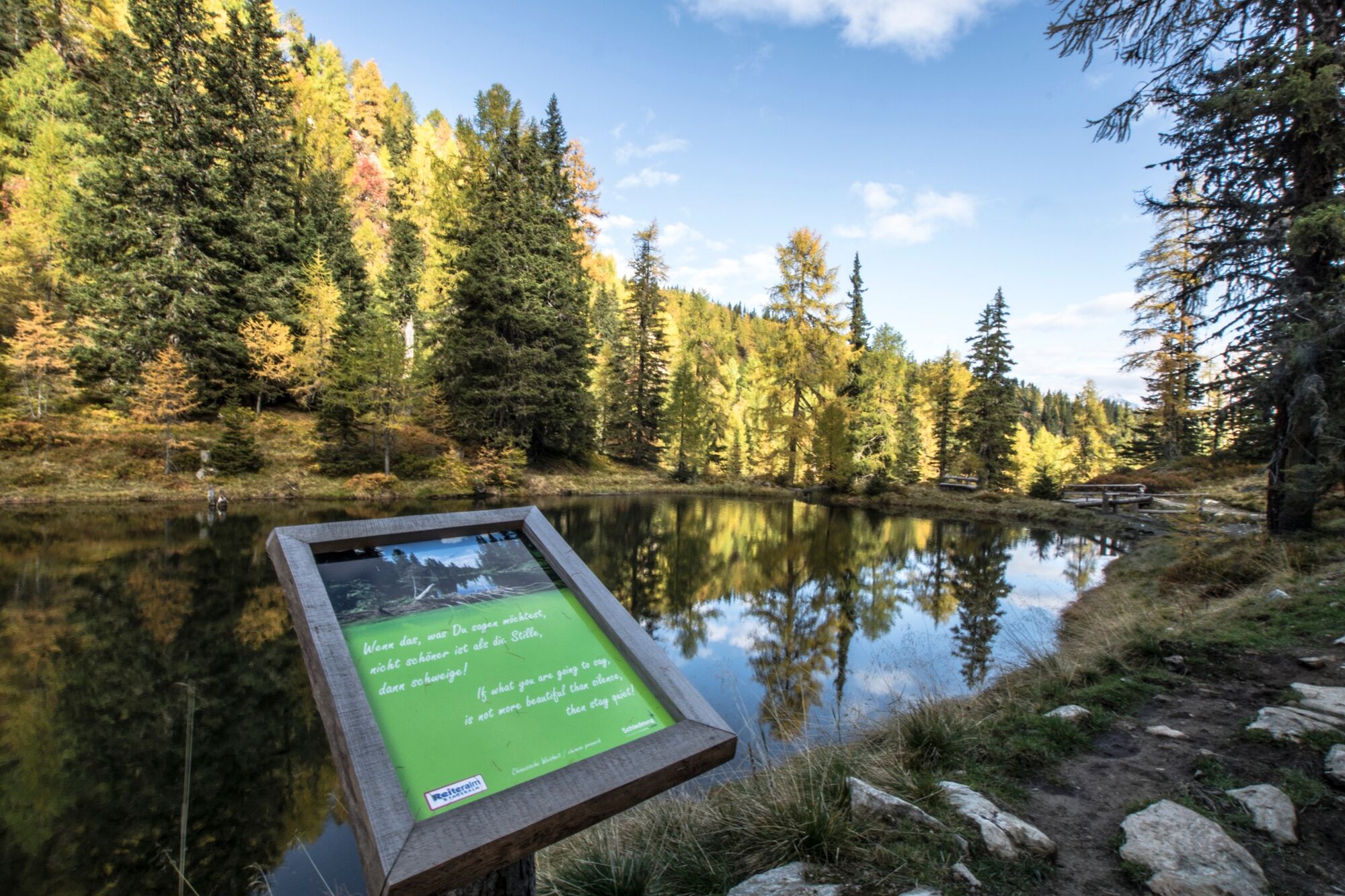
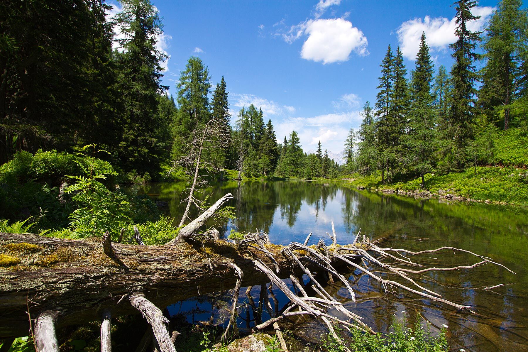
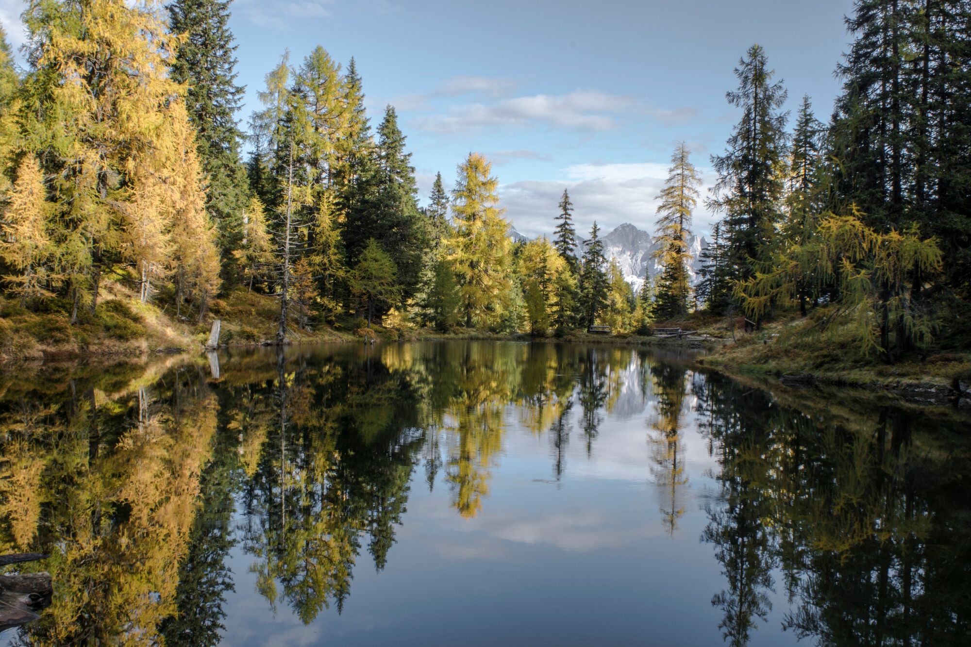
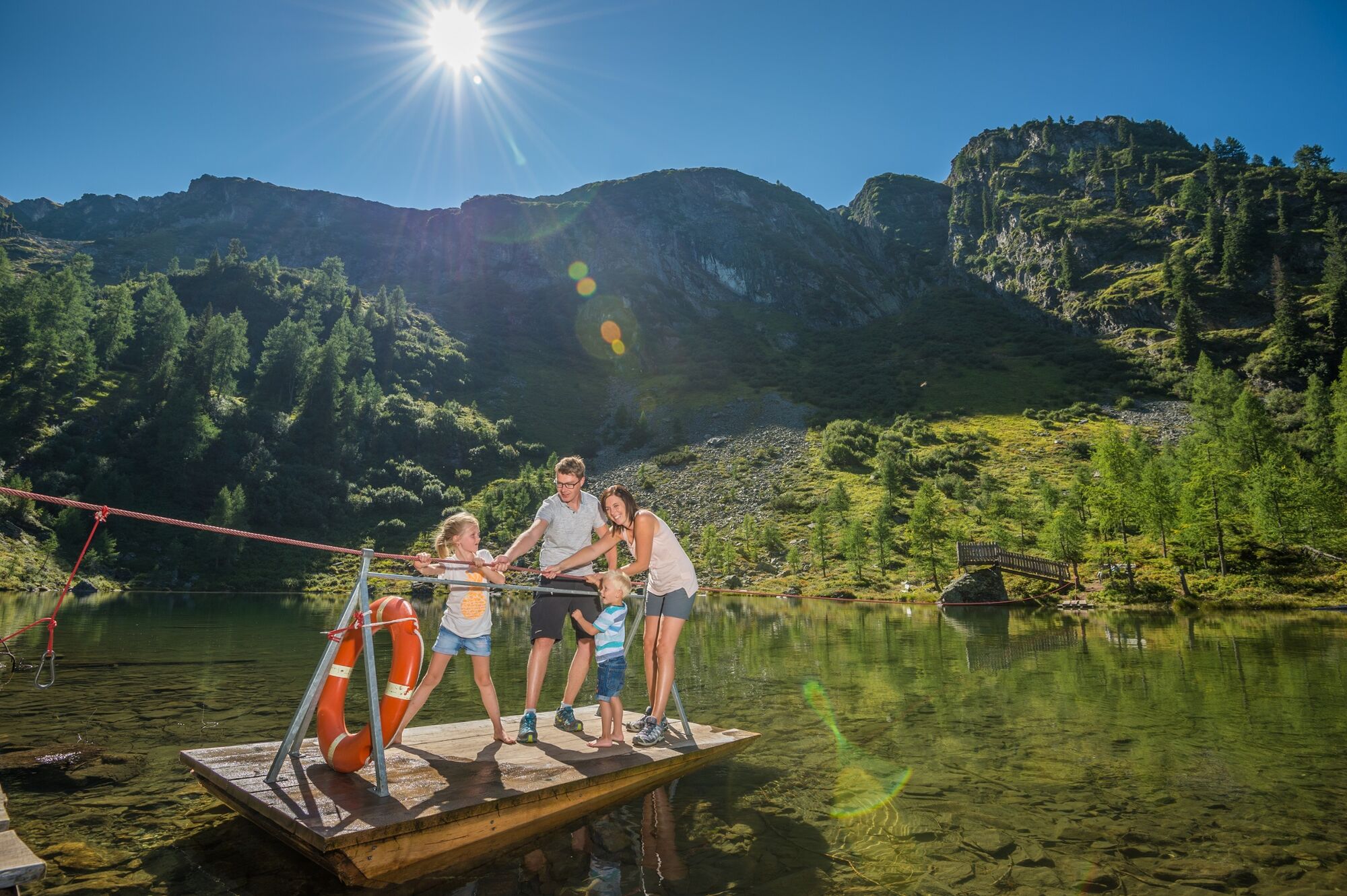
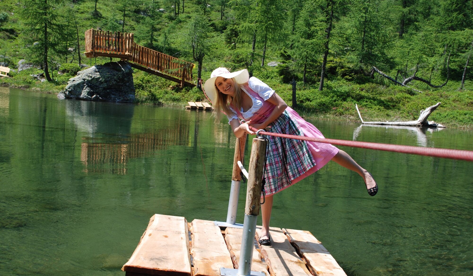
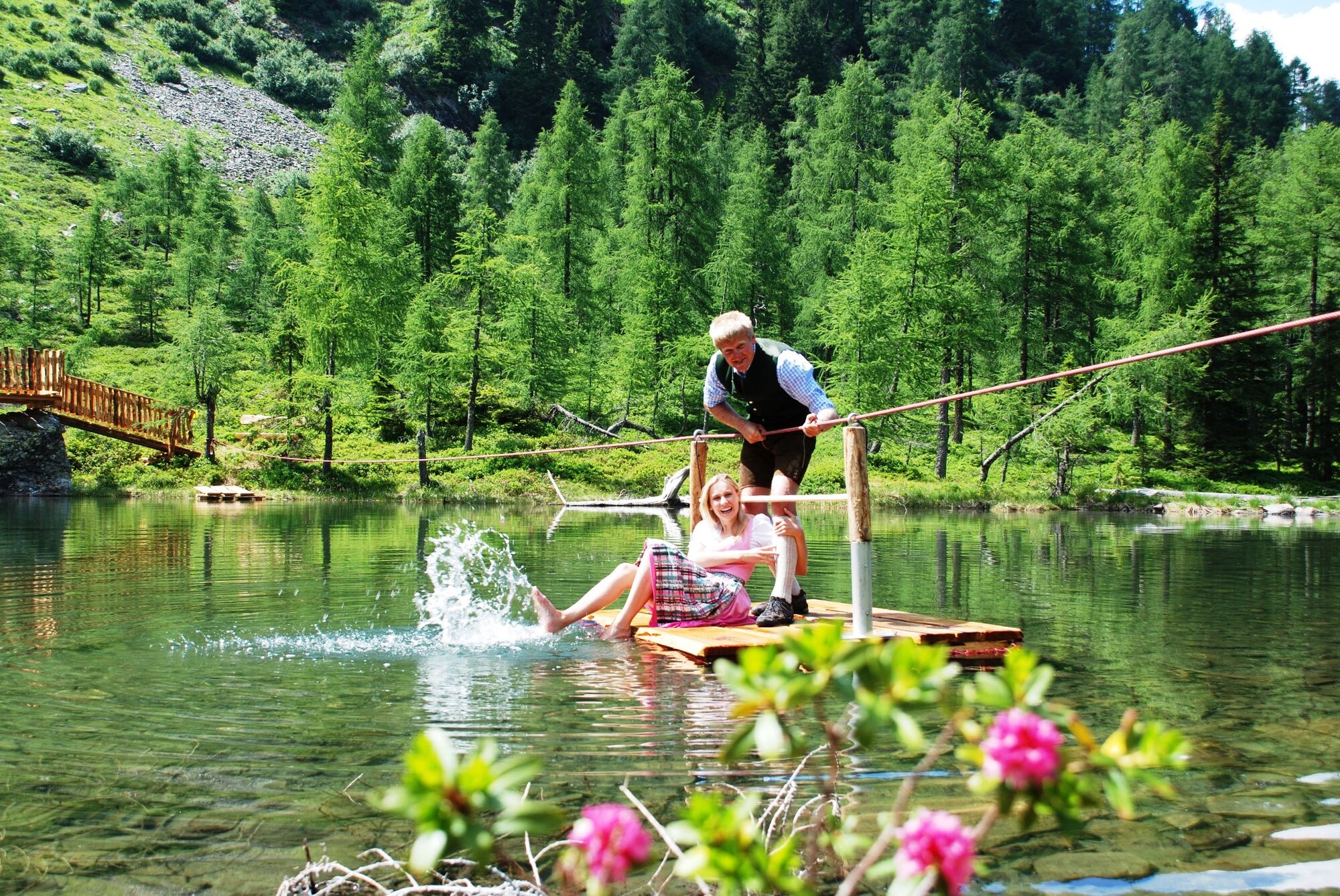
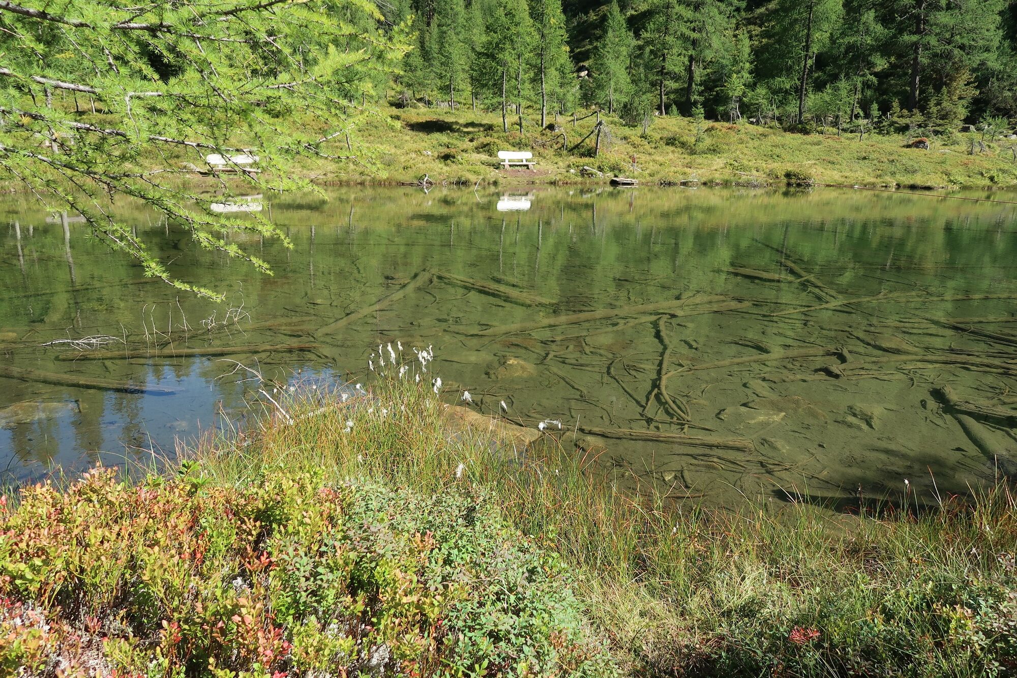
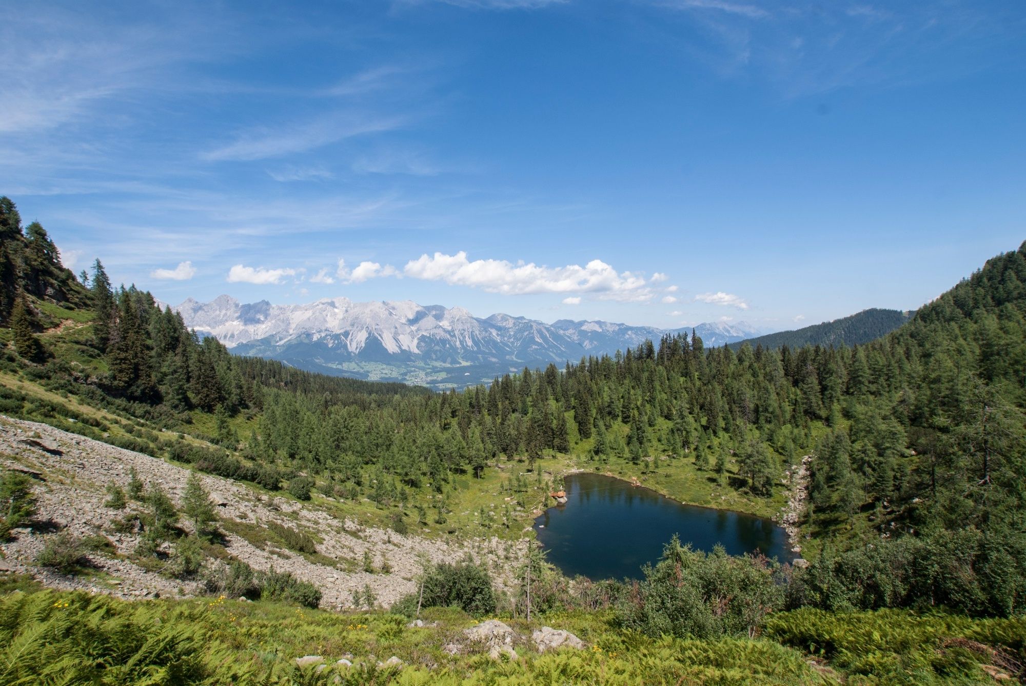
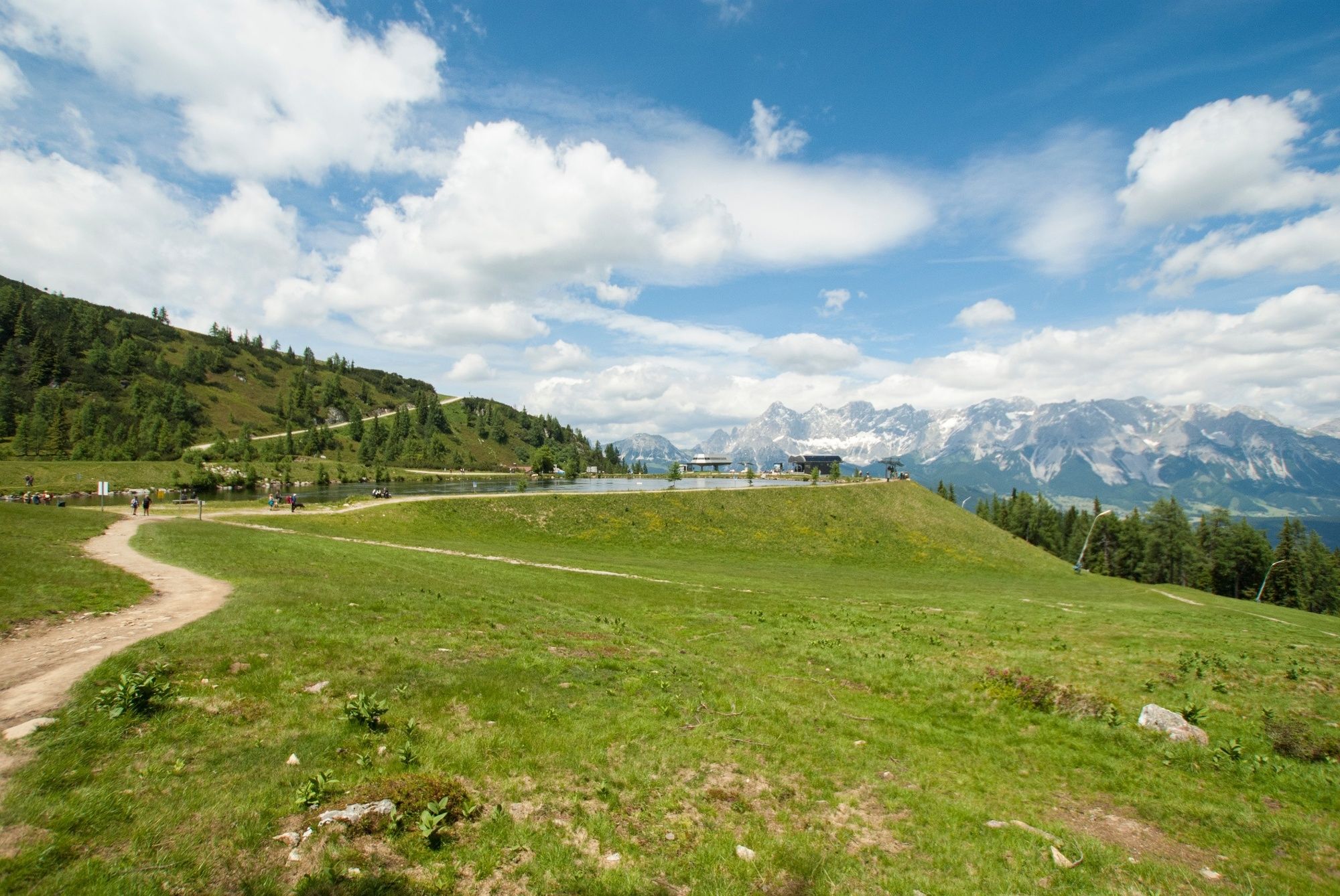
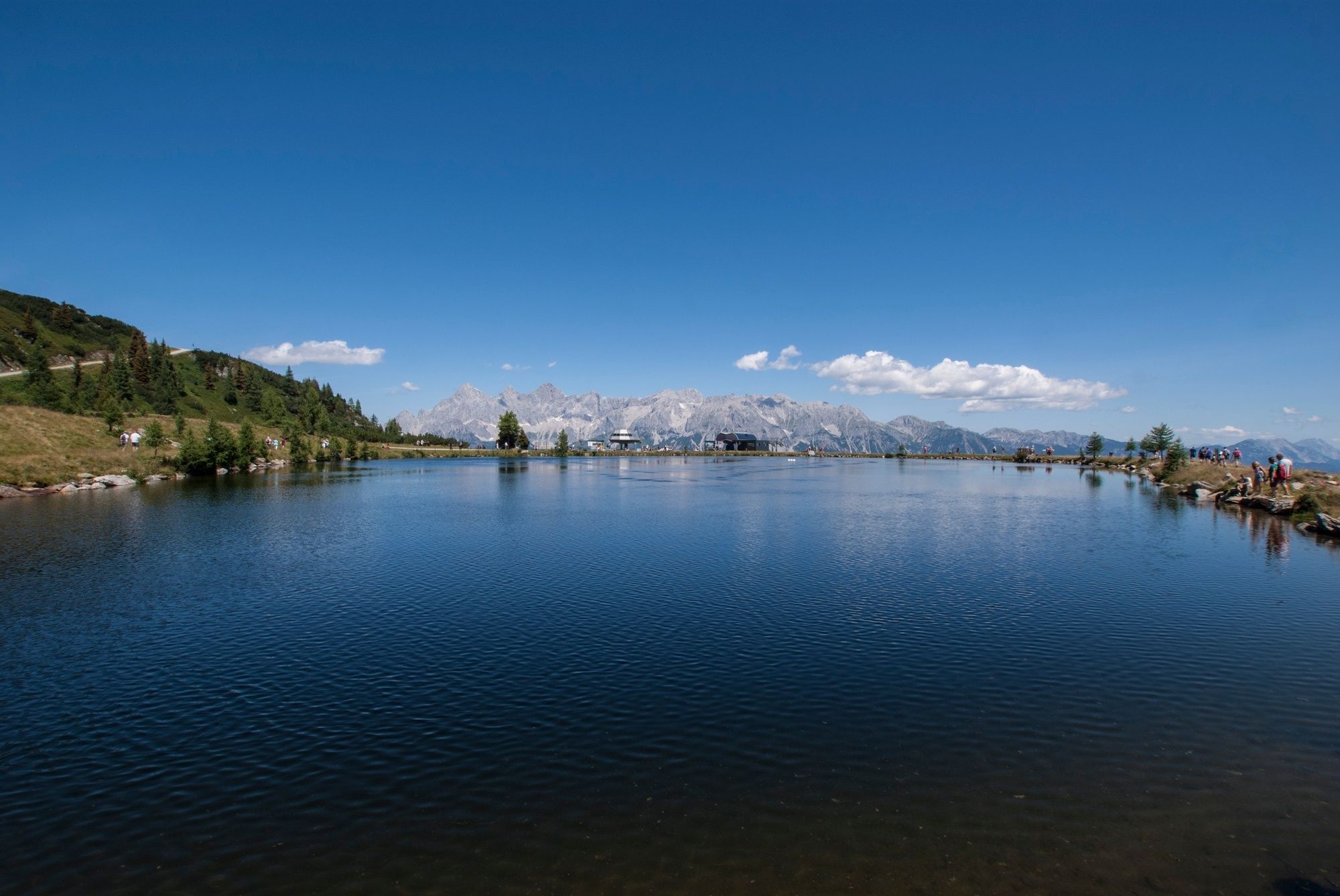
Short hike through forest with Larch and Swiss Pine trees to Untersee Lake at Reiteralm. Wooden benches invite to stay for a while and to enjoy the scenery.
- Difficulté
-
facile
- Évaluation
-
- Meilleure saison
-
janv.févr.marsavrilmaijuinjuil.aoûtsept.oct.nov.déc.
- Hauteur maximale
- 1.754 m
- Point de mire
-
Hiking trail head Reiteralm
- Profil en hauteur
-


-

-
AuteurLa randonnée Silent Waters - Hike to Untersee Lake est utilisé par outdooractive.com fourni par.
GPS Downloads


Informations générales
Point de rassemblement
Secret
Autres parcours dans les régions
-
Schladming - Dachstein
3015
-
Ramsau am Dachstein
1705
-
Pichl
526


