

© Oststeiermark Tourismus - Christine Pollhammer

© Oststeiermark Tourismus - Christine Pollhammer

© Oststeiermark Tourismus - Christine Pollhammer

© Oststeiermark Tourismus - Christine Pollhammer

© Oststeiermark Tourismus - WEGES WEGES

© Oststeiermark Tourismus - Christine Pollhammer

© Oststeiermark Tourismus - Christine Pollhammer

© Oststeiermark Tourismus - Christine Pollhammer

© Oststeiermark Tourismus - WEGES WEGES

© Oststeiermark Tourismus - Christine Pollhammer
- Brève description
-
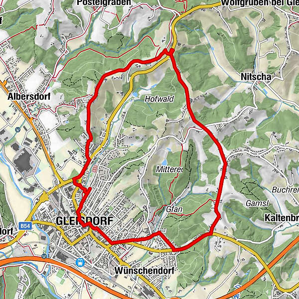
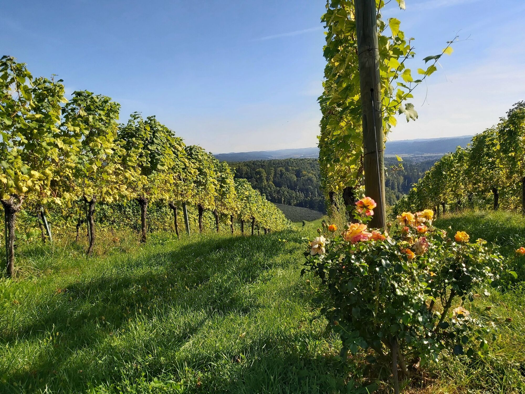
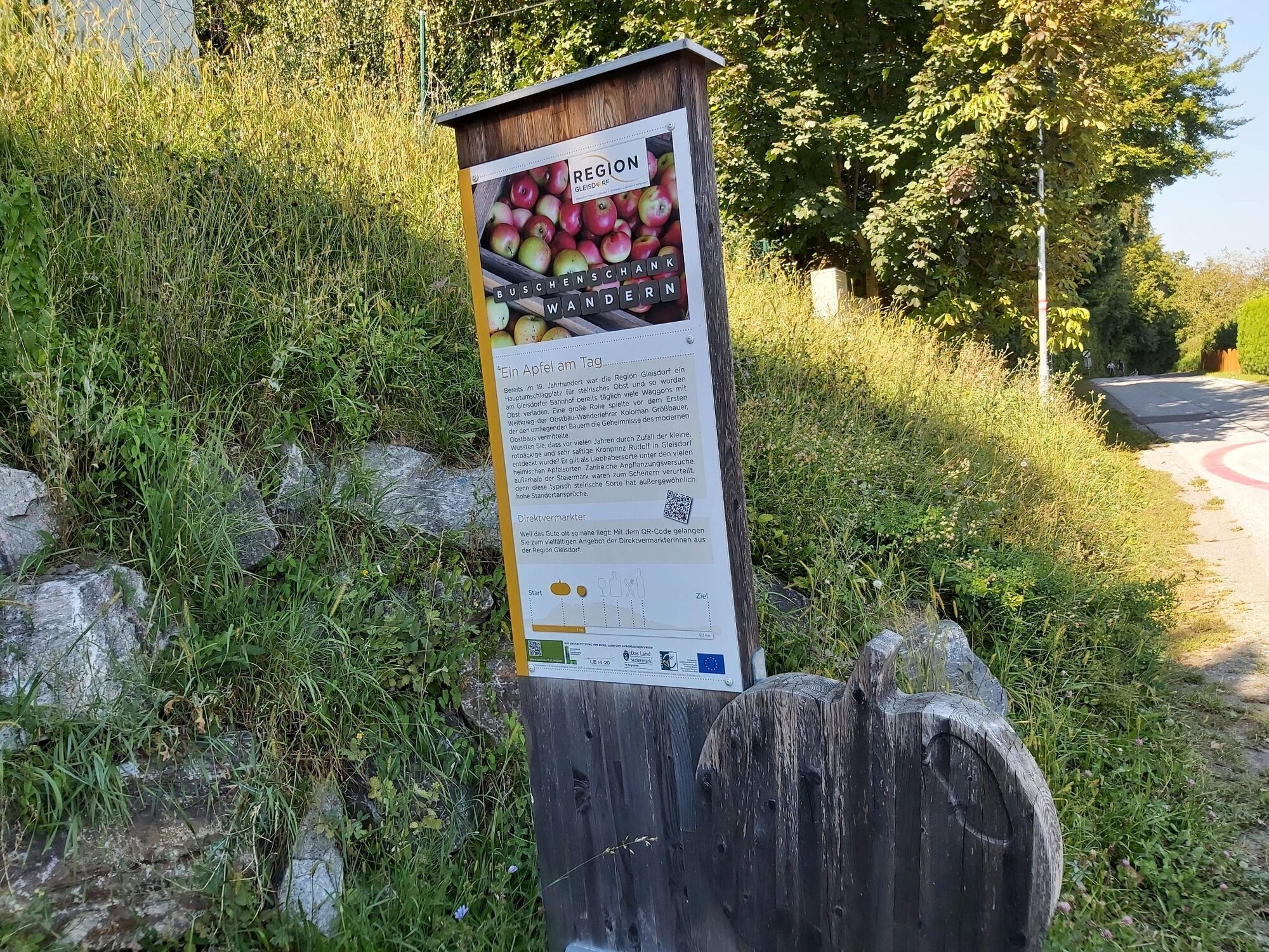
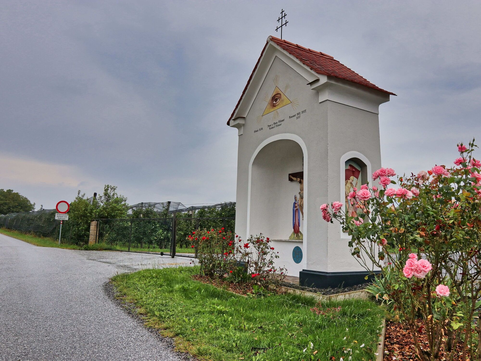
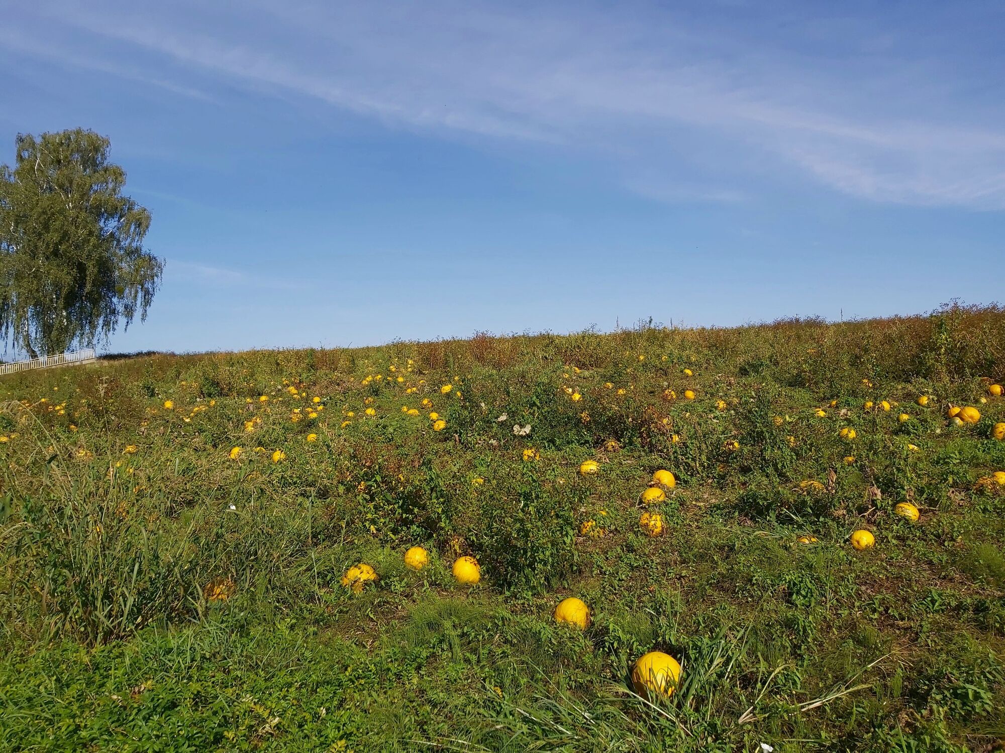
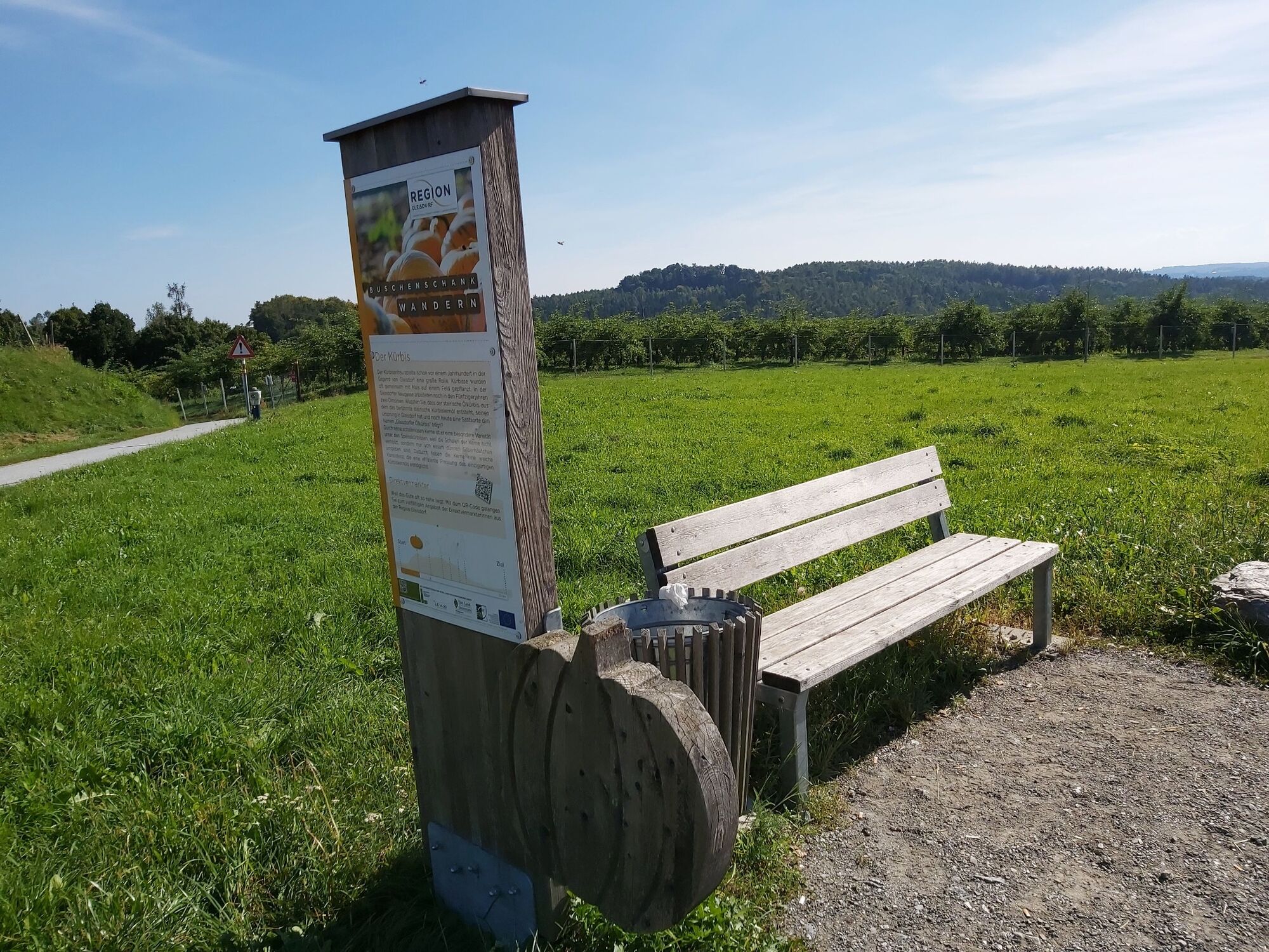
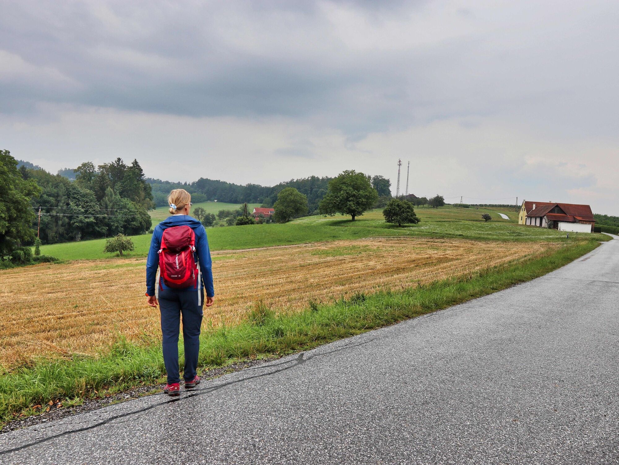
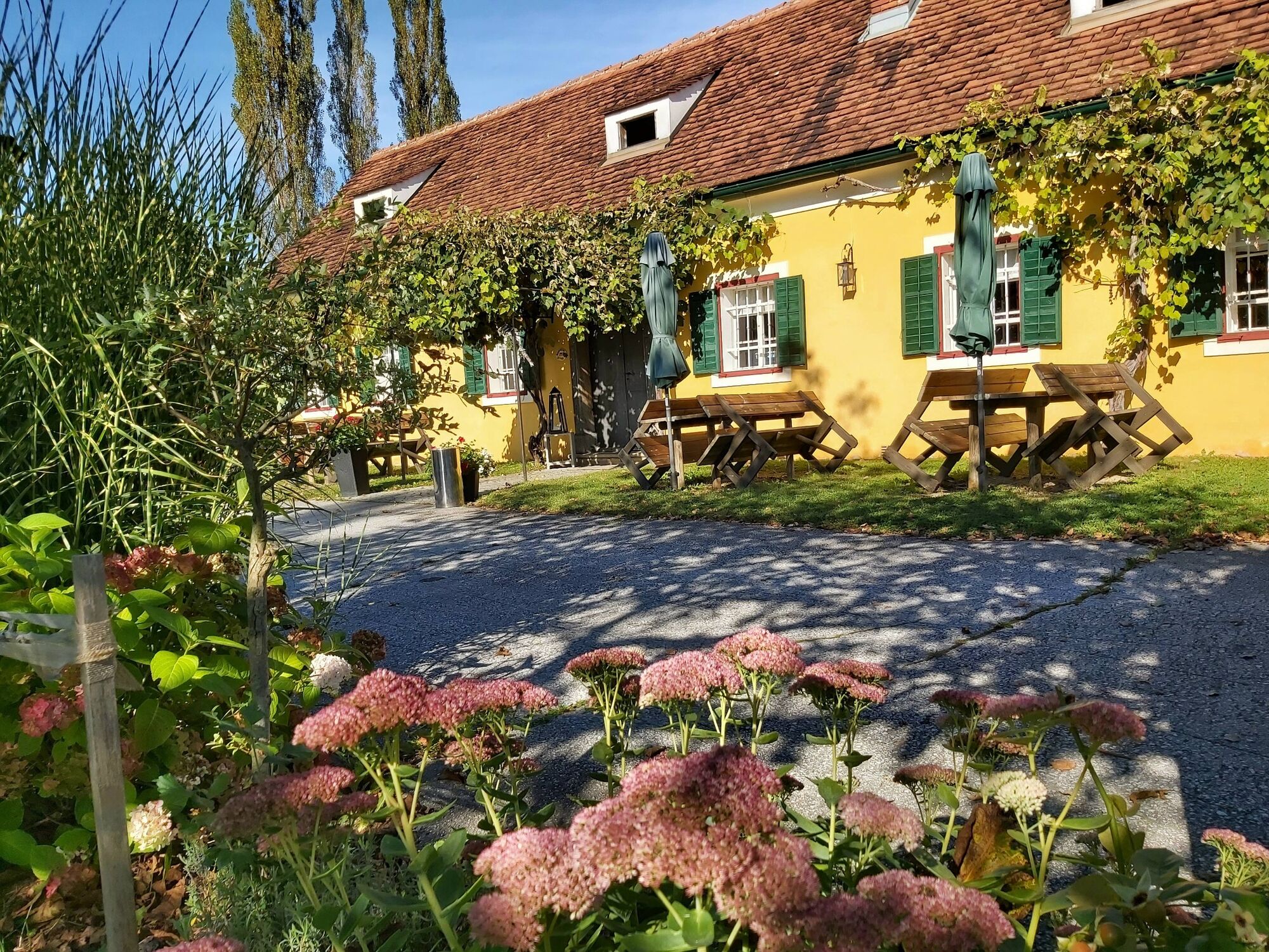
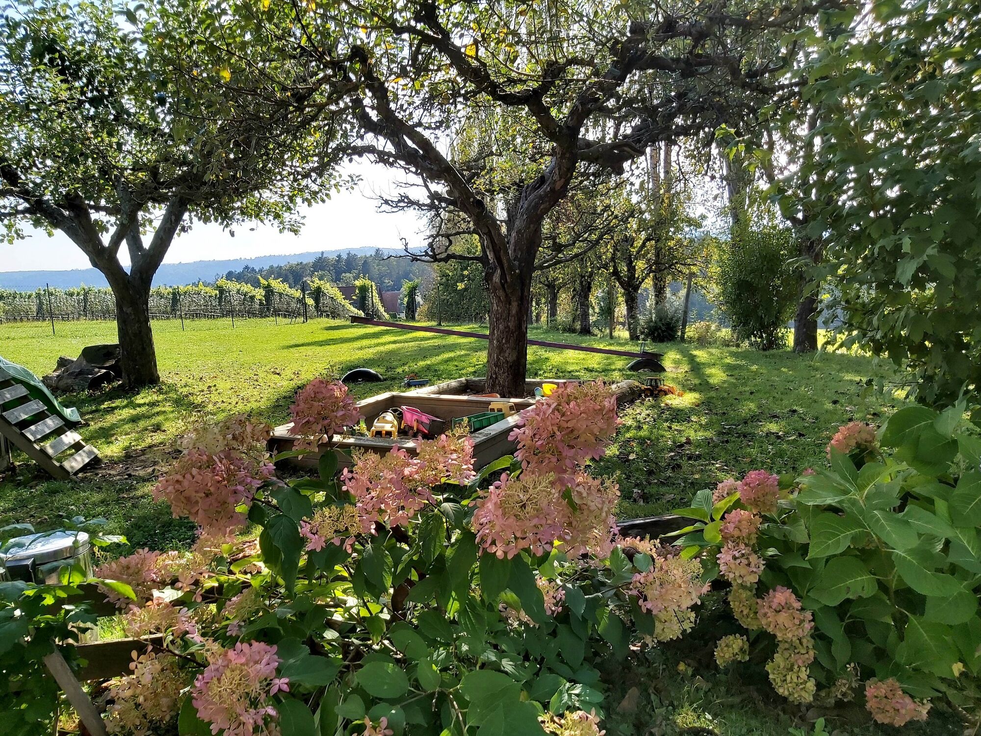
This tour leads around the sunny city of Gleisdorf and along the vineyards north of the city and is accompanied by stops on regional cuisine in Eastern Styria.
- Difficulté
-
facile
- Évaluation
-
- Parcours
-
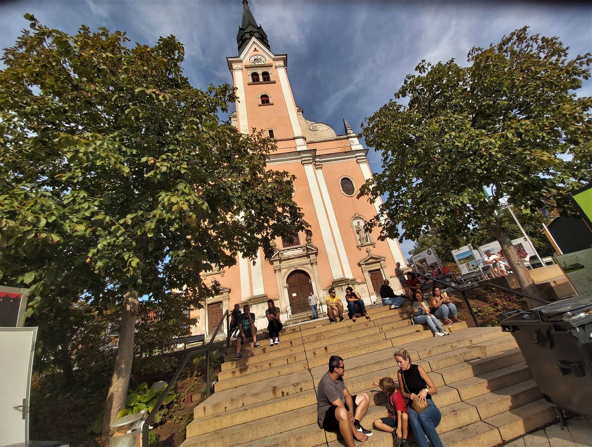
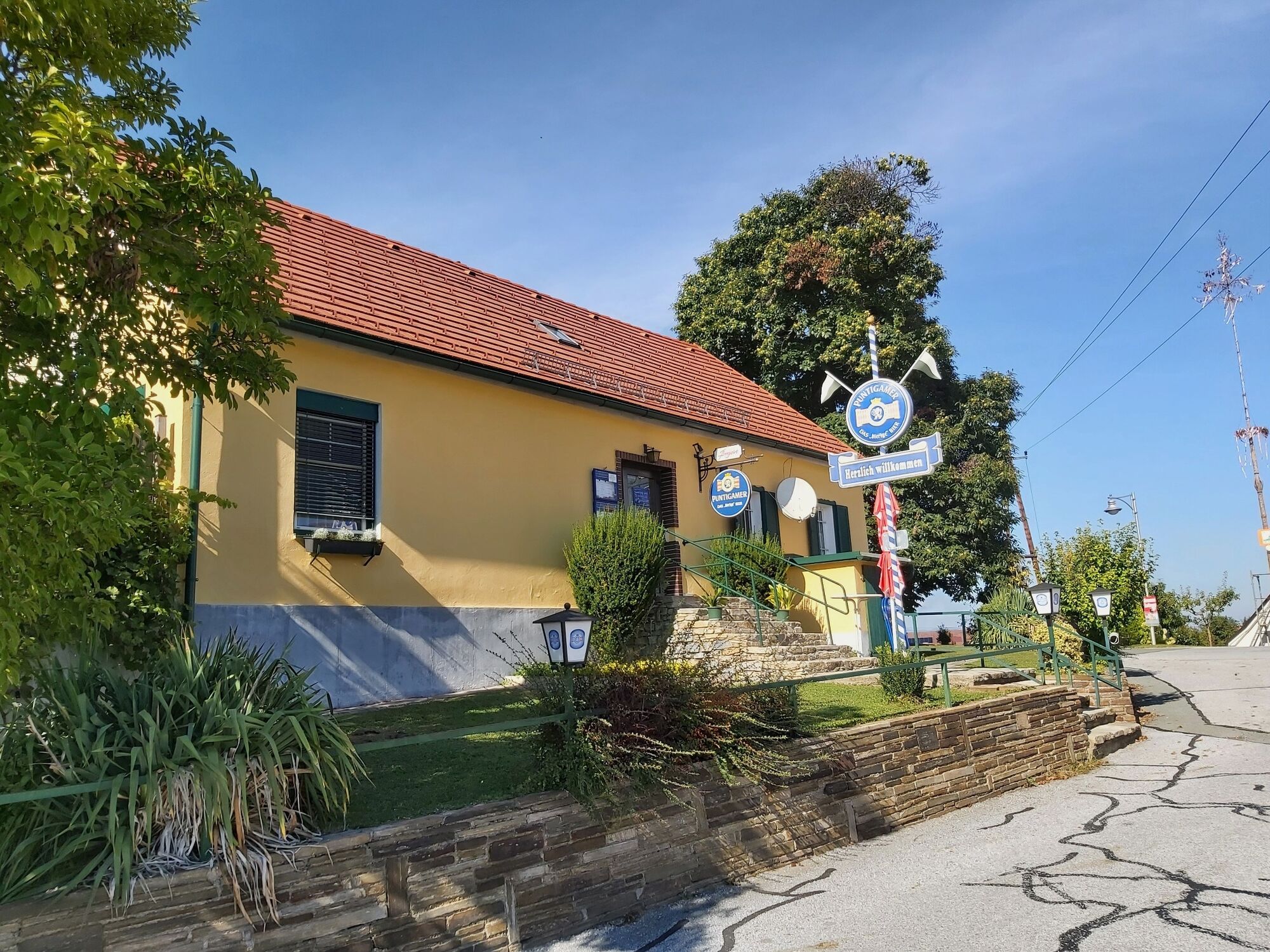
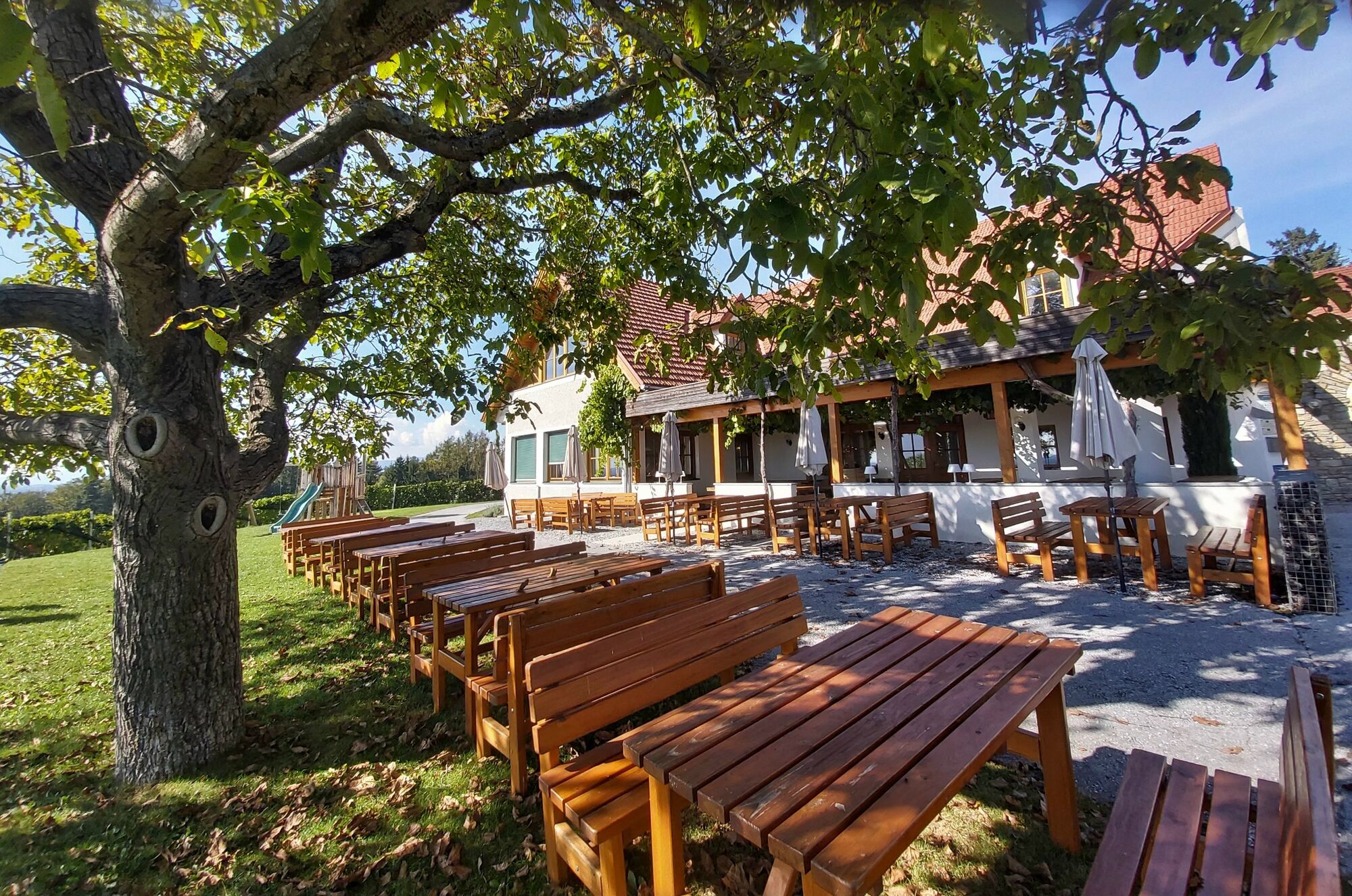
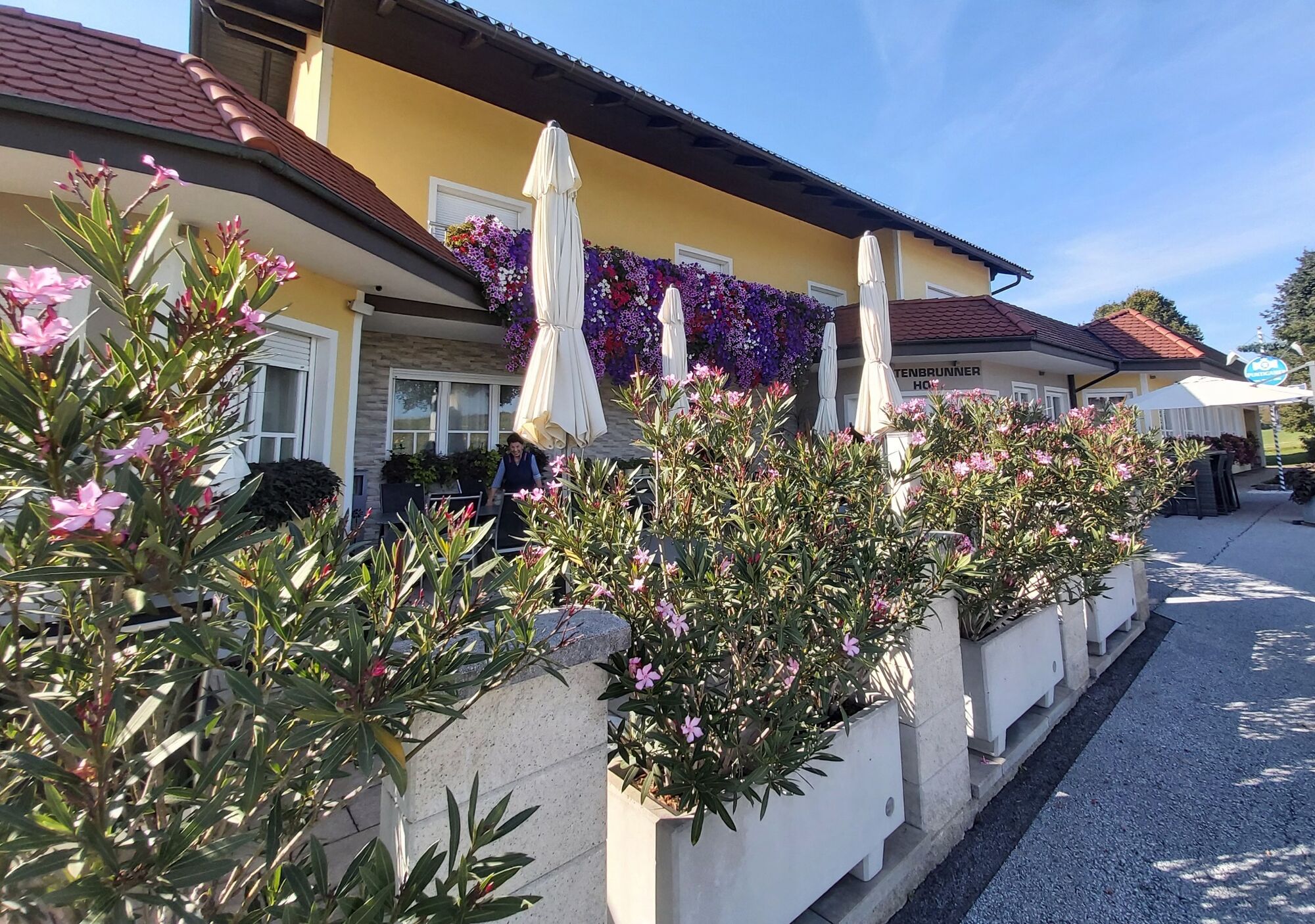
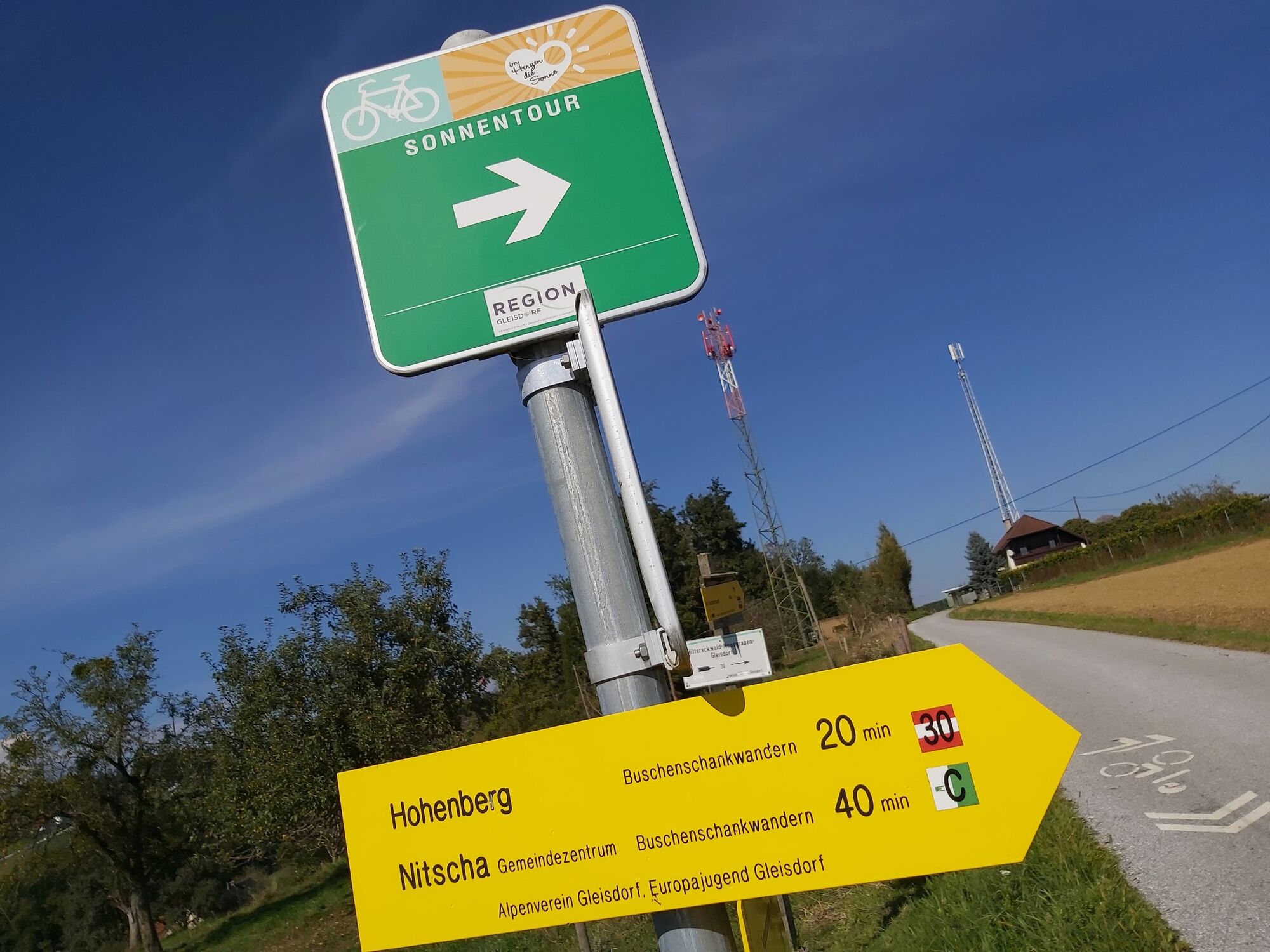
Gleisdorf0,1 kmBuschenschank Neuhold2,3 kmGamling4,1 kmBergwirt4,1 kmEichgraben4,9 kmKaltenbrunnerhof6,7 kmKunter6,9 kmWeinhof Seyfried7,2 kmKogl7,7 kmStadtpfarrkirche hl. Laurentius10,1 kmGleisdorf10,2 km
- Meilleure saison
-
janv.févr.marsavrilmaijuinjuil.aoûtsept.oct.nov.déc.
- Hauteur maximale
- 472 m
- Point de mire
-
Gleisdorf, Wave pool
- Profil en hauteur
-


-

-
AuteurLa randonnée Buschenschank hiking, Gleisdorf region est utilisé par outdooractive.com fourni par.
GPS Downloads


Informations générales
Point de rassemblement
Prometteur
Autres parcours dans les régions
-
Oststeiermark
2126
-
Region Gleisdorf
1005
-
Solarstadt Gleisdorf
120


