© (c) Günther Steininger - Günther Steininger

© (c) Günther Steininger - Günther Steininger

© (c) Günther Steininger - Günther Steininger

© (c) Günther Steininger - Günther Steininger

© (c) Günther Steininger - Günther Steininger

© (c) Günther Steininger - Günther Steininger

© (c) Günther Steininger - Günther Steininger

© (c) Günther Steininger - Günther Steininger

© (c) Günther Steininger - Günther Steininger

© (c) Günther Steininger - Günther Steininger
- Brève description
-
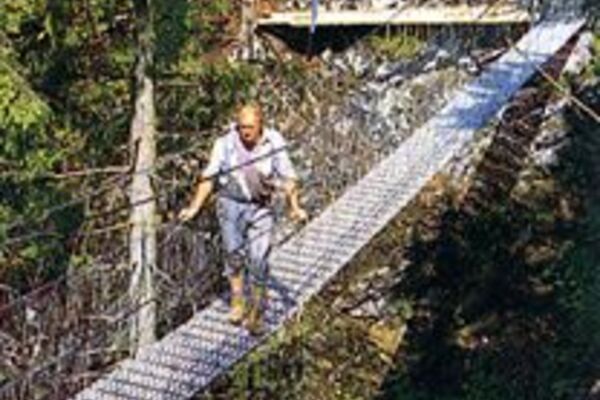
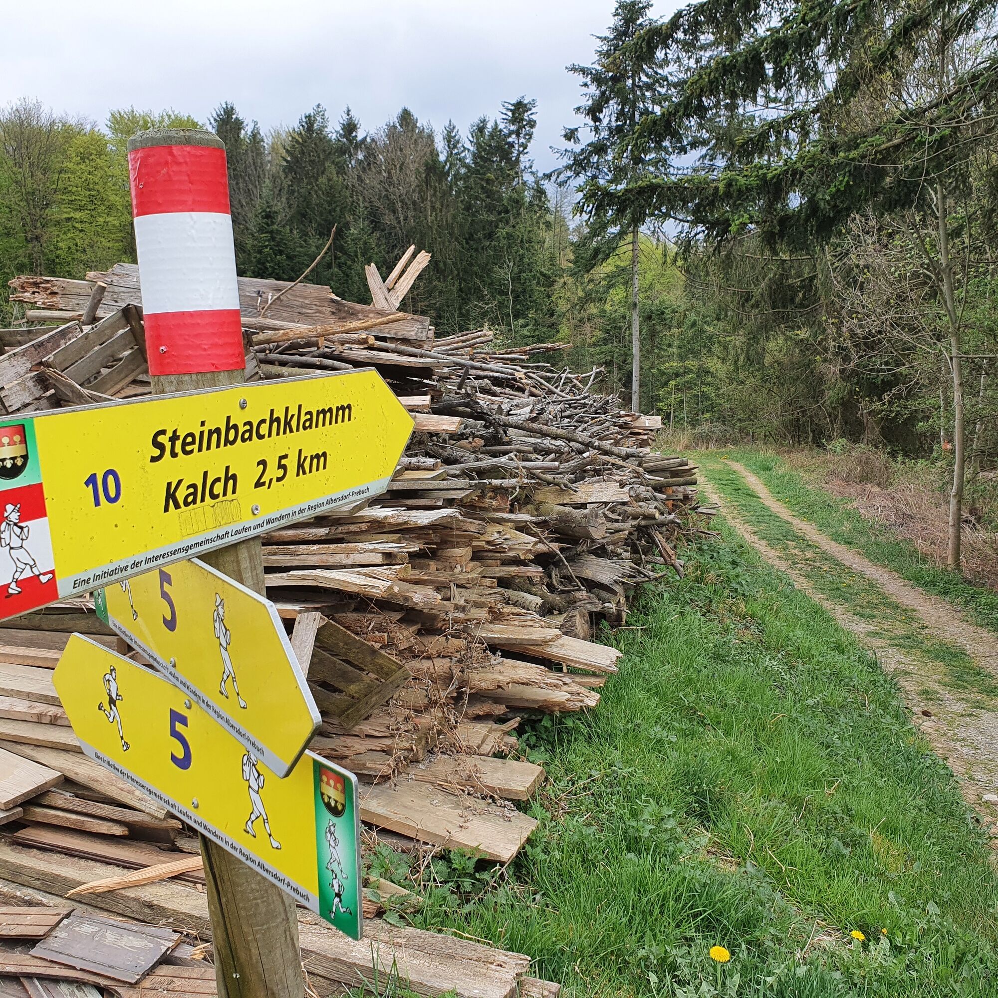
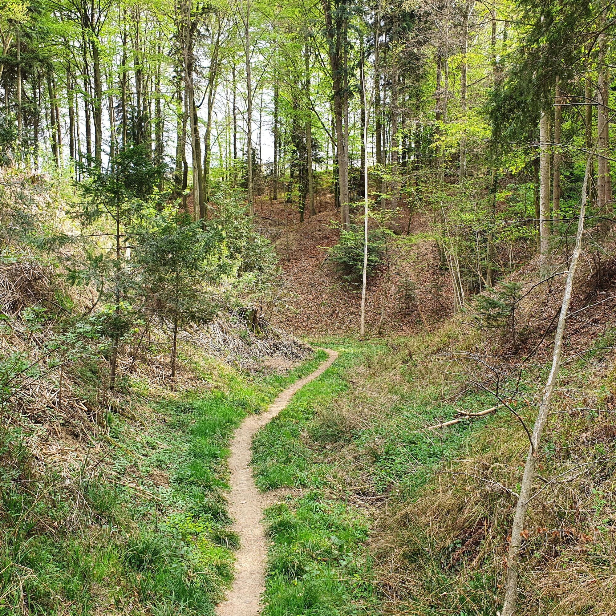
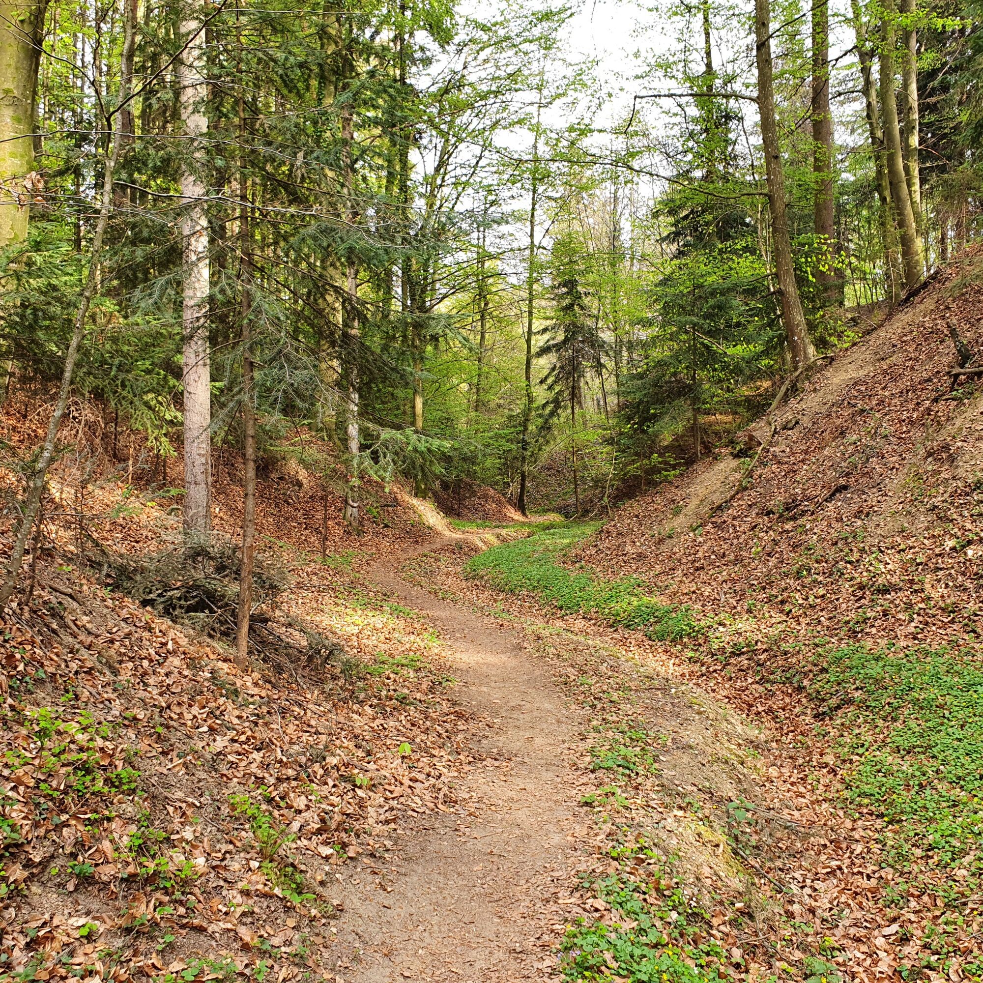
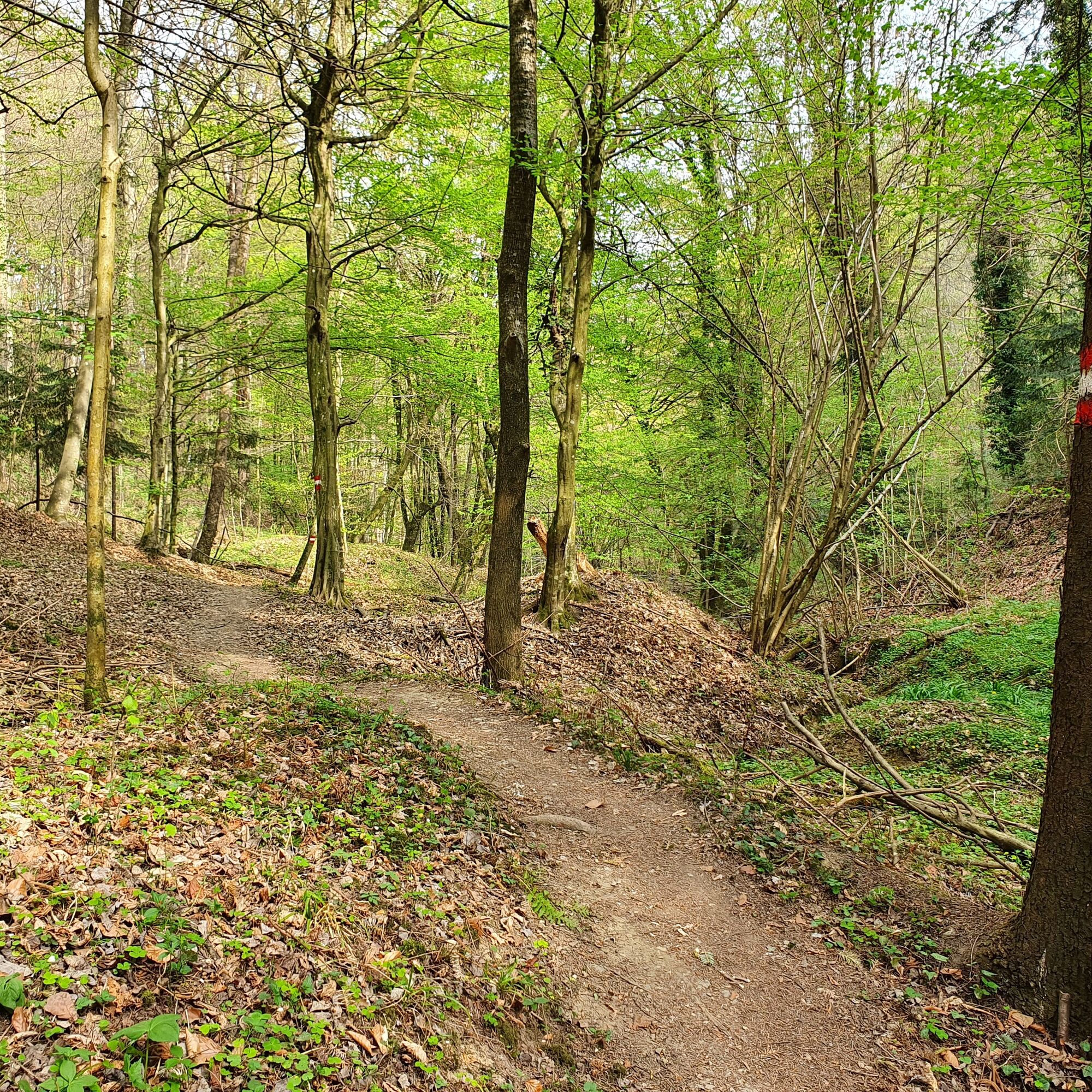
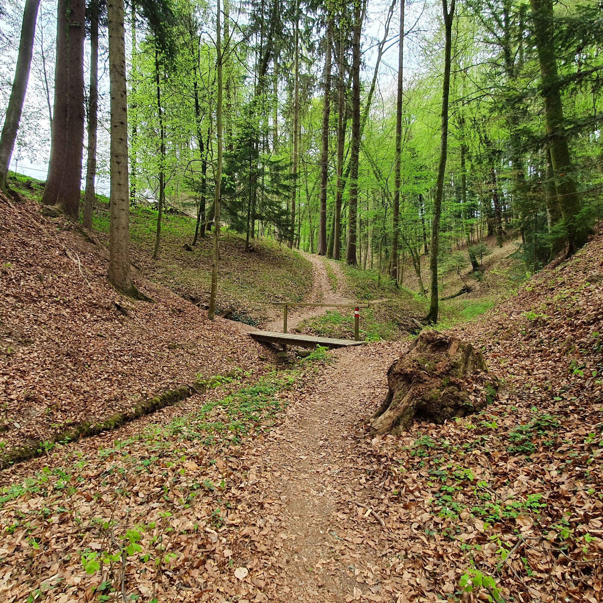
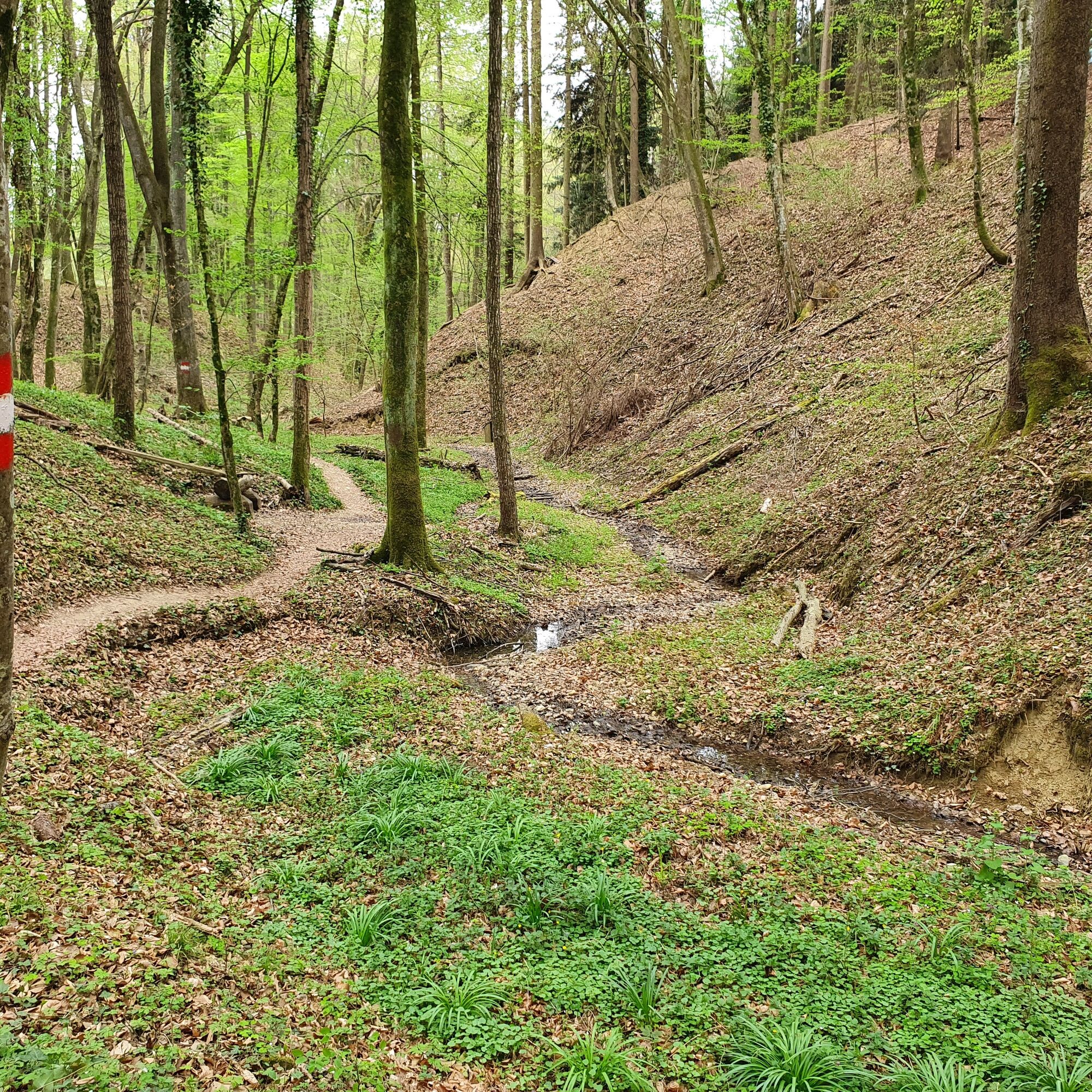
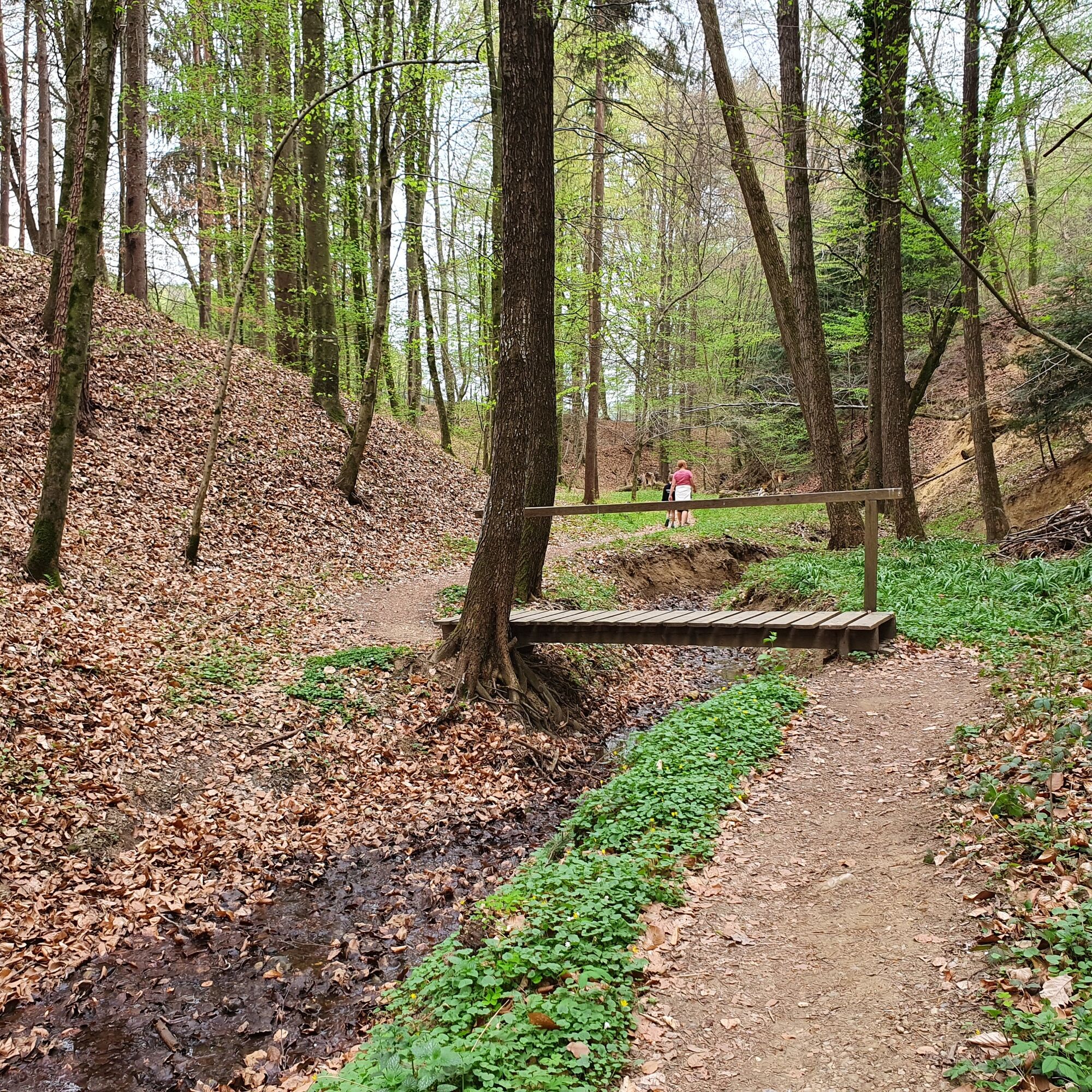
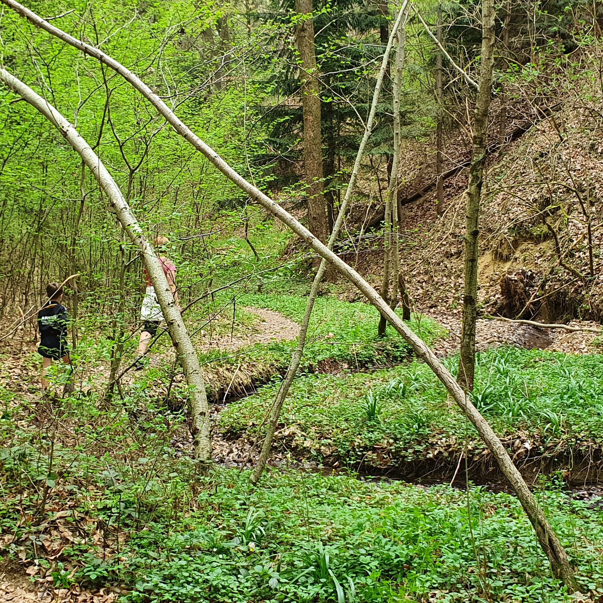
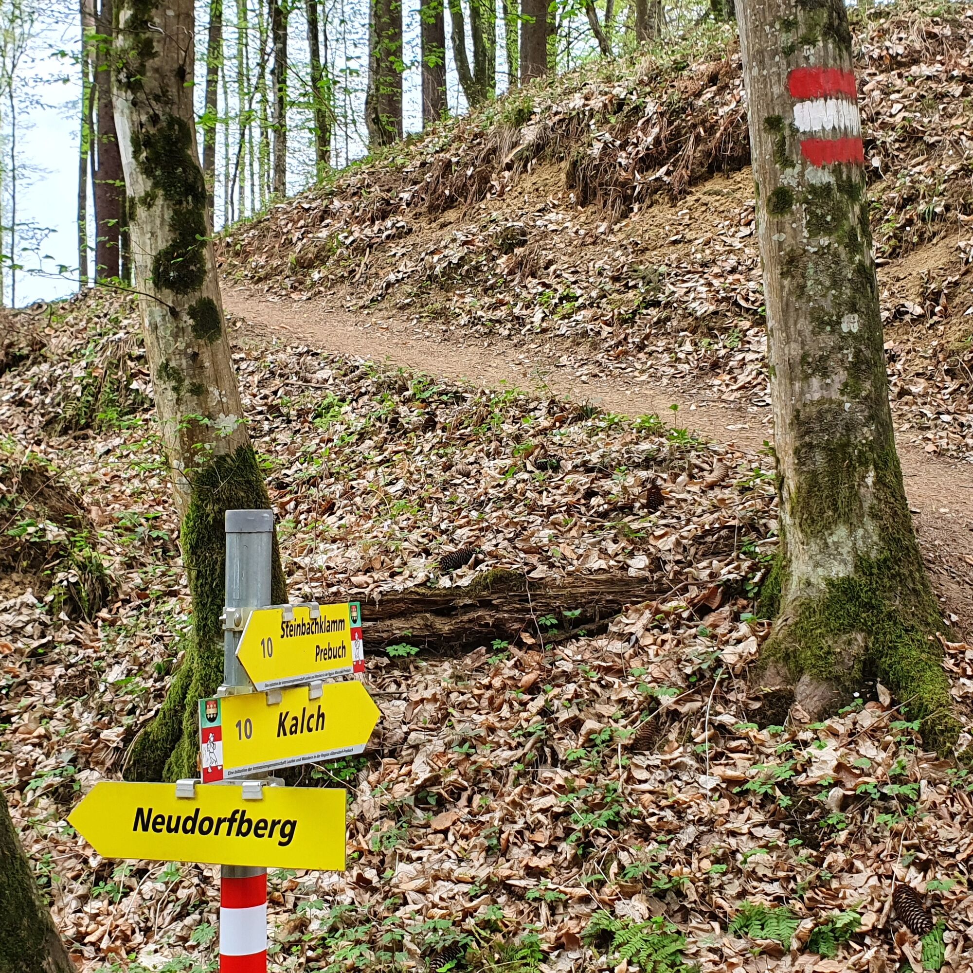
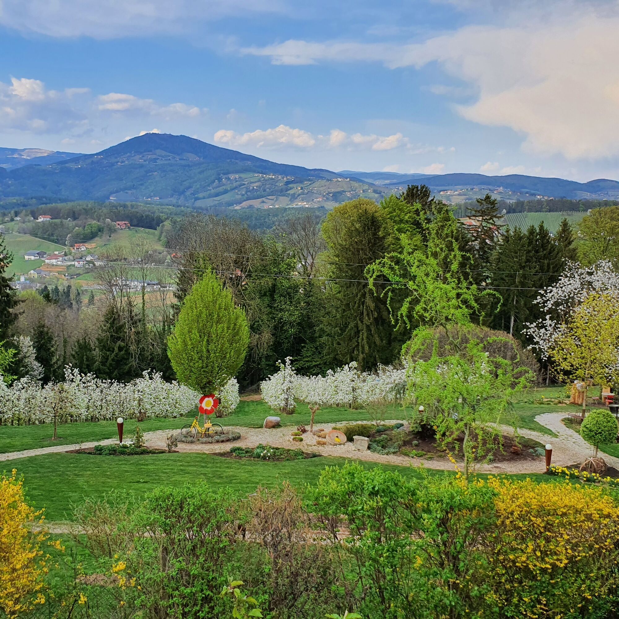
Leisurely circular hike through the Steinbachklamm in Albersdorf.
- Difficulté
-
moyen
- Évaluation
-
- Parcours
-
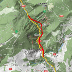
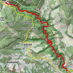
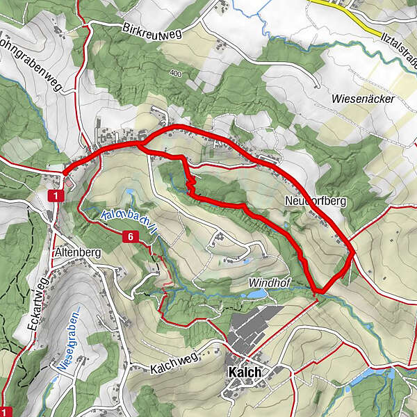
Prebuch0,2 kmNeudorfberg2,8 kmPrebuch4,5 km
- Meilleure saison
-
janv.févr.marsavrilmaijuinjuil.aoûtsept.oct.nov.déc.
- Hauteur maximale
- 461 m
- Point de mire
-
Prebuch car park at the volunteer fire brigade
- Profil en hauteur
-


-

-
AuteurLa randonnée Steinbachklamm - way back via Neudorfberg est utilisé par outdooractive.com fourni par.
GPS Downloads


Informations générales
Secret
Flore
Faune
Prometteur
Autres parcours dans les régions
-
Oststeiermark
2126
-
Weiz/St. Ruprecht an der Raab
1521
-
Ilztal
189