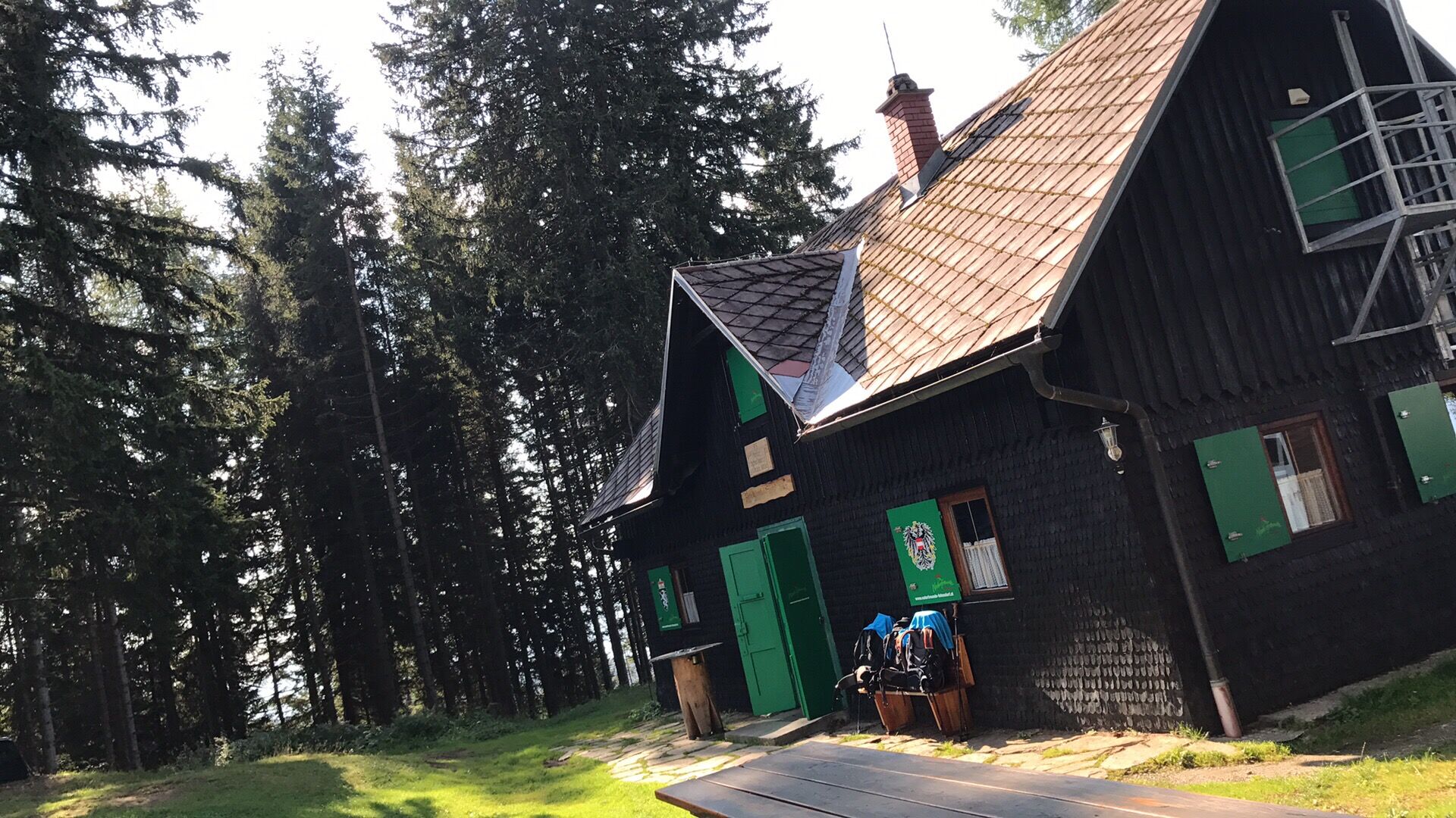
© Erlebnisregion Murtal - Inge Amtmann

© Erlebnisregion Murtal - Inge Amtmann

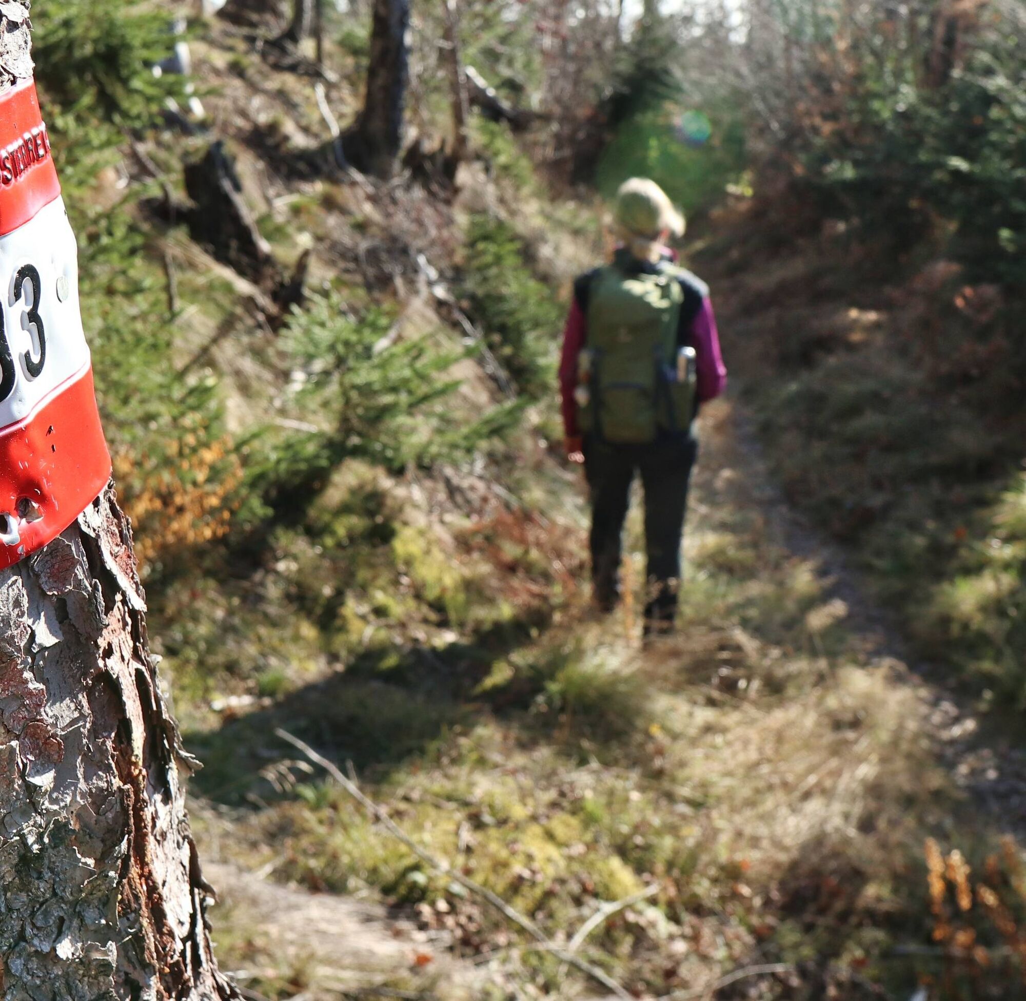
© Weges OG

© Weges OG

© Weges OG

© Weges OG


- Brève description
- Difficulté
-
moyen
- Évaluation
-
- Parcours
-
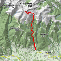
Fohnsdorf0,1 kmFohnsdorfer Berg (1.299 m)3,6 kmHölzelkogel (1.451 m)5,1 kmHölzlberg (1.589 m)6,8 kmGaaler Höhe (1.539 m)7,7 kmStoxi's Mostschenke11,9 kmDietersdorf14,5 kmFohnsdorf15,6 km
- Meilleure saison
-
janv.févr.marsavrilmaijuinjuil.aoûtsept.oct.nov.déc.
- Hauteur maximale
- 1.543 m
- Point de mire
-
Fohnsdorfer Graben
- Profil en hauteur
-


-

-
AuteurLa randonnée Fohnsdorferhütte via Gstättner est utilisé par outdooractive.com fourni par.
GPS Downloads


Informations générales
Point de rassemblement
Prometteur
Autres parcours dans les régions
-
Erlebnisregion Murtal
1783
-
Steirisches Zirbenland
711
-
Fohnsdorf
190