

© TVB Oststeiermark - Gemeinde Fladnitz an der Teichalm

© TVB Oststeiermark - Christine Pollhammer

© TVB Oststeiermark - Christine Pollhammer

© TVB Oststeiermark - Christine Pollhammer

© TVB Oststeiermark - Christine Pollhammer

© TVB Oststeiermark - Christine Pollhammer

© TVB Oststeiermark - Christine Pollhammer

© TVB Oststeiermark - Christine Pollhammer

© TVB Oststeiermark - Christine Pollhammer

© TVB Oststeiermark - Christine Pollhammer
- Brève description
-
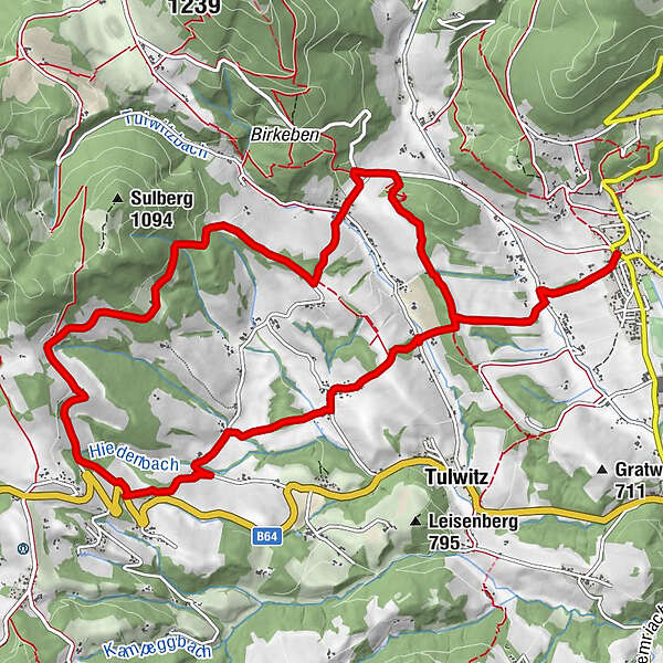
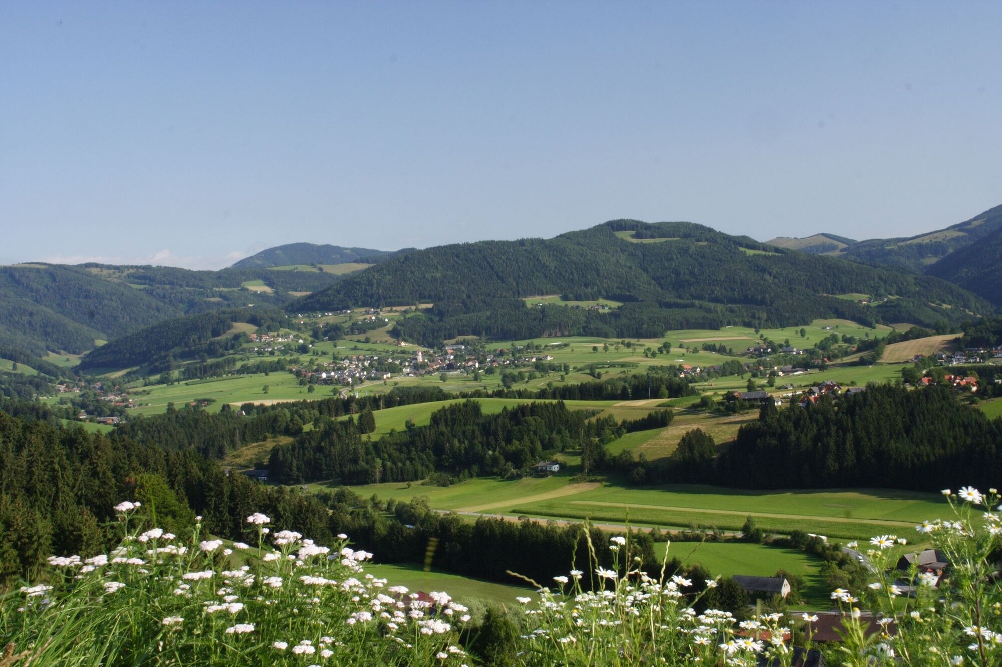
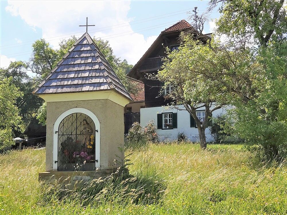
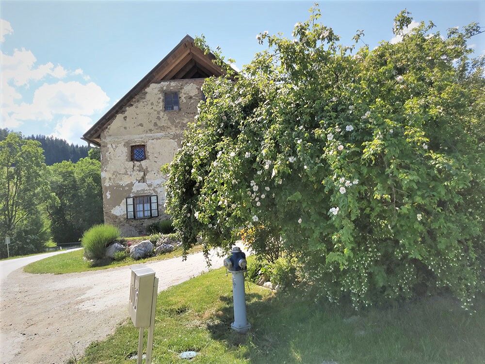
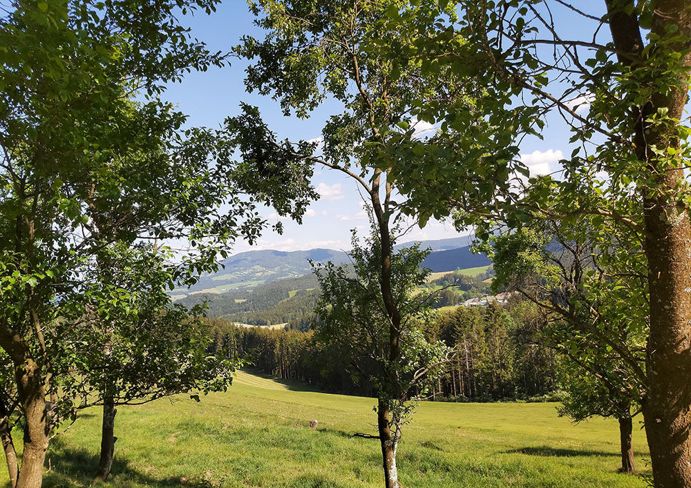
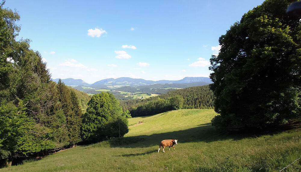
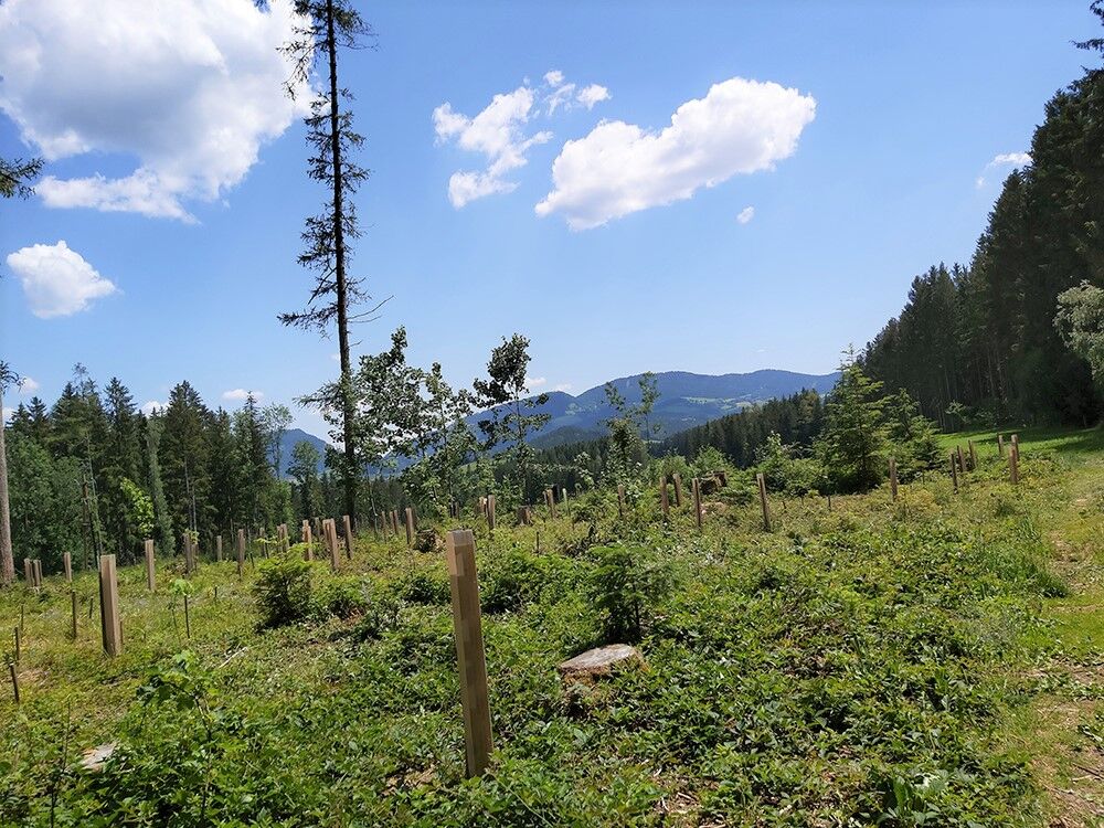
This hike from Fladnitz an der Teichalm up to Rechberg shows how idyllic the "countryside" can be. The Pröllhofer Inn is a cosy place to stop for a bite to eat.
- Difficulté
-
moyen
- Évaluation
-
- Parcours
-
Fladnitz an der TeichalmSchrems0,7 kmBudakapelle1,5 kmReithof2,9 kmTulwitzviertl4,1 kmGasthof Pröllhofer-Knoll5,4 kmSchrems13,3 kmFladnitz an der Teichalm14,1 km
- Meilleure saison
-
janv.févr.marsavrilmaijuinjuil.aoûtsept.oct.nov.déc.
- Hauteur maximale
- 939 m
- Point de mire
-
Fladnitz an der Teichalm
- Profil en hauteur
-


-

-
AuteurLa randonnée Tulwitz Round est utilisé par outdooractive.com fourni par.
GPS Downloads


Informations générales
Point de rassemblement
Secret
Prometteur
Autres parcours dans les régions


