Dates des itinéraires
37km
856
- 1.059m
798hm
05:30h

- Brève description
-
Beautiful hike past all the ponds and with places to stop along the way.
- Difficulté
-
moyen
- Évaluation
-
- Point de départ
-
Mariahof
- Parcours
-
KirchenwirtMariahofPfarrkirche Mariahof0,0 kmKirchweg0,7 kmAdendorf1,5 kmSchachen2,6 kmOberdorf4,3 kmForst8,1 kmFelberg12,4 kmKreuztal13,8 kmVorderbach15,0 kmSankt Blasen15,1 kmStraussenhof Wallner15,4 kmHeiligenstadt16,3 kmSankt Lambrecht18,0 km
- Meilleure saison
-
janv.févr.marsavrilmaijuinjuil.aoûtsept.oct.nov.déc.
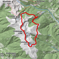
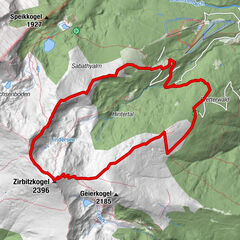
- Hauteur maximale
- 1.059 m
- Repos/Rassembler
-
Restaurant Knappenwirt in Mariahof; There are numerous places to stop in St. Lambrecht.
- Cartes

GPS Downloads


Nature du chemin
Asphalte
Gravier
Pelouse
Forêt
Rocher
Exposé
Autres parcours dans les régions