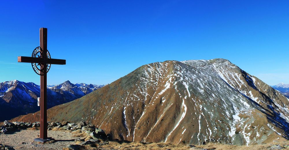
© Alpenverein Linz - Karl Linecker
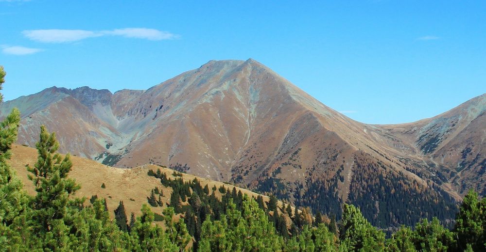
© Erlebnisregion Murtal - Team Erlebnisregion Murtal

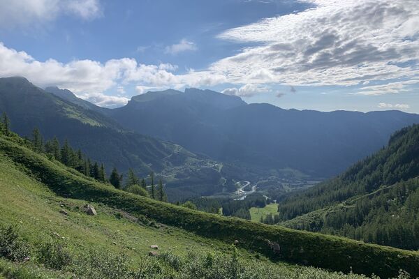
© Team Erlebnisregion Murtal - Wolfgang Mitteregger
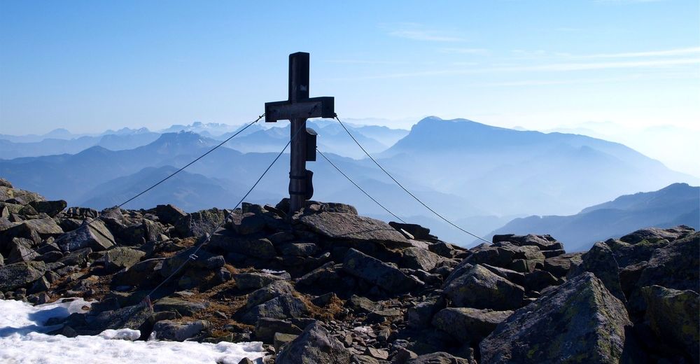
© Erlebnisregion Murtal - Wolfgang Mitteregger

- Brève description
-
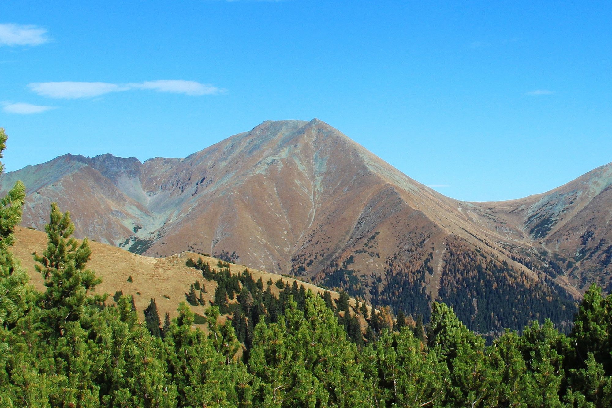
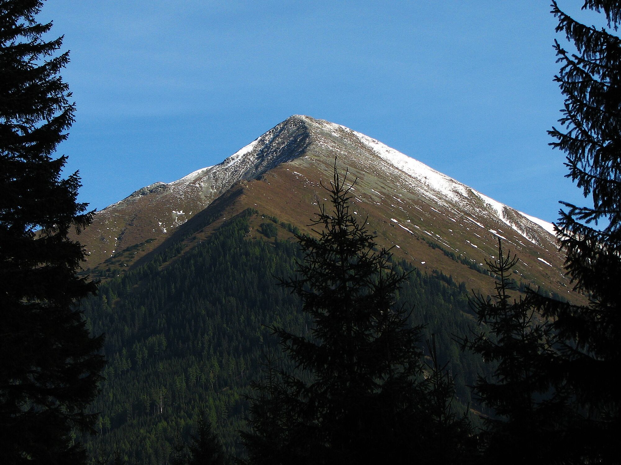
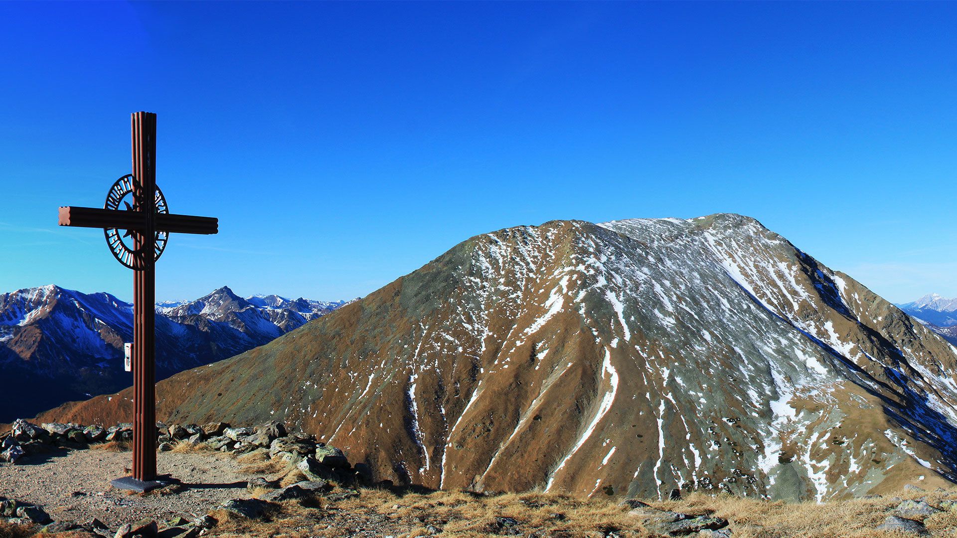
A challenging hike to one of the highest peaks in the Seckau Alps.
- Difficulté
-
difficile
- Évaluation
-
- Parcours
-
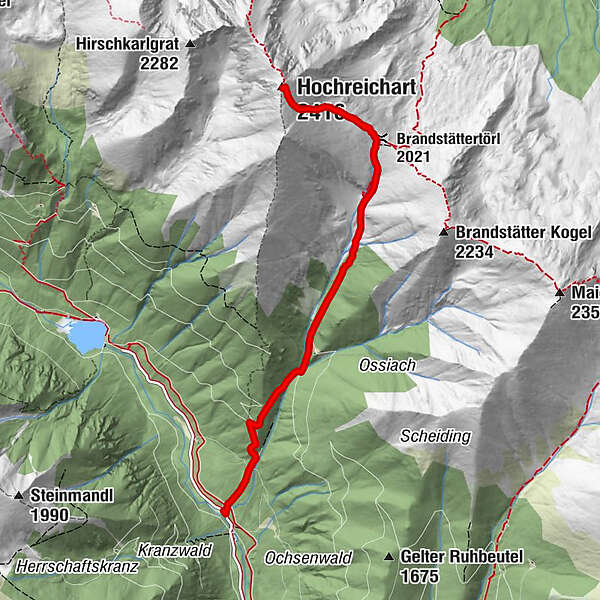
Peters - Bründl3,8 kmBrandstättertörl (2.021 m)3,9 kmHochreichart (2.416 m)5,0 km
- Meilleure saison
-
janv.févr.marsavrilmaijuinjuil.aoûtsept.oct.nov.déc.
- Hauteur maximale
- 2.406 m
- Point de mire
-
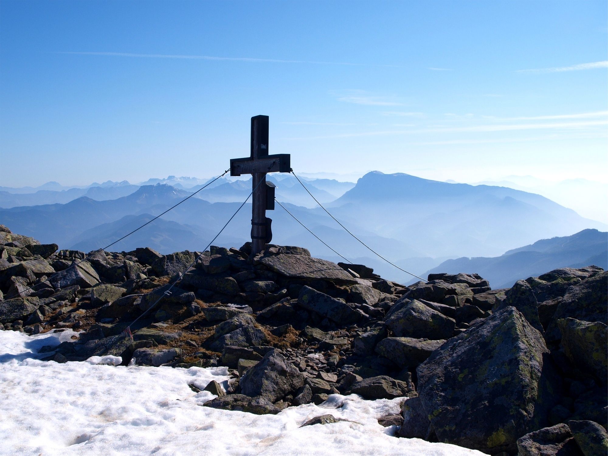
Summit Hochreichart
- Profil en hauteur
-

- Auteur
-
La randonnée Hochreichart est utilisé par outdooractive.com fourni par.
GPS Downloads


Informations générales
Prometteur
Autres parcours dans les régions
-
Erlebnisregion Murtal
1783
-
Gaal
244