© Erlebnisregion Murtal - 50plus Campingpark Fisching

© Erlebnisregion Murtal - 50plus Campingpark Fisching

© Erlebnisregion Murtal - 50plus Campingpark Fisching

© Erlebnisregion Murtal - 50plus Campingpark Fisching

© Erlebnisregion Murtal - 50plus Campingpark Fisching

© Erlebnisregion Murtal - 50plus Campingpark Fisching

© Erlebnisregion Murtal - 50plus Campingpark Fisching

© Erlebnisregion Murtal - 50plus Campingpark Fisching

© Erlebnisregion Murtal - 50plus Campingpark Fisching

© Erlebnisregion Murtal - 50plus Campingpark Fisching

- Brève description
- Difficulté
-
facile
- Évaluation
-
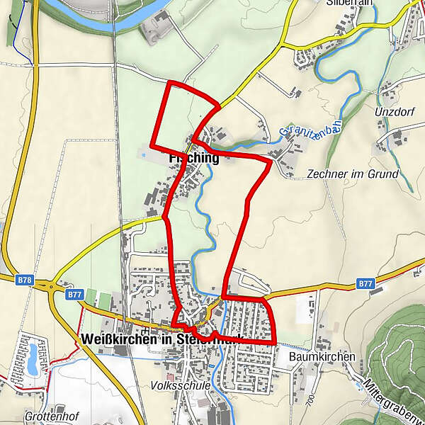
- Parcours
-
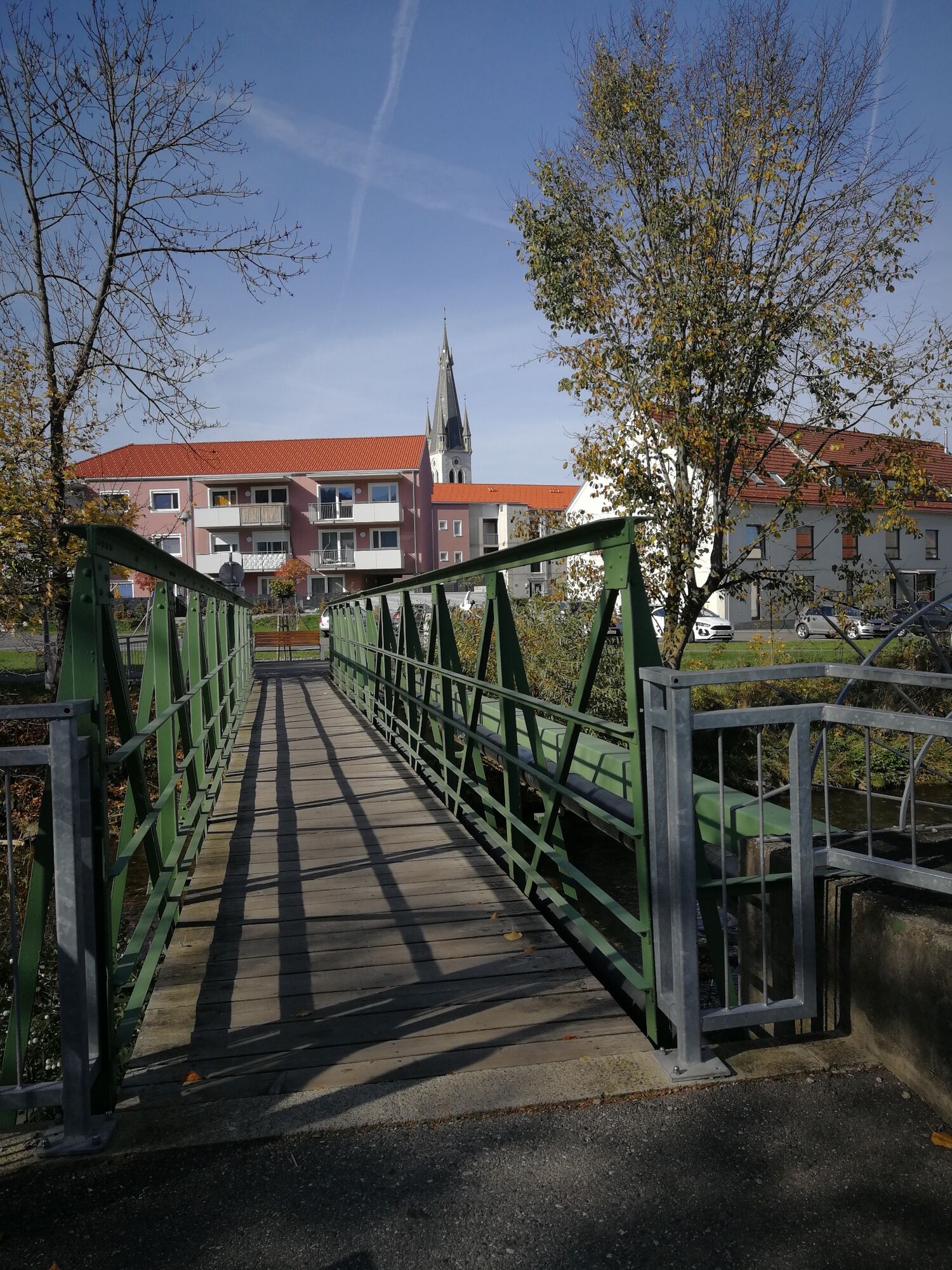
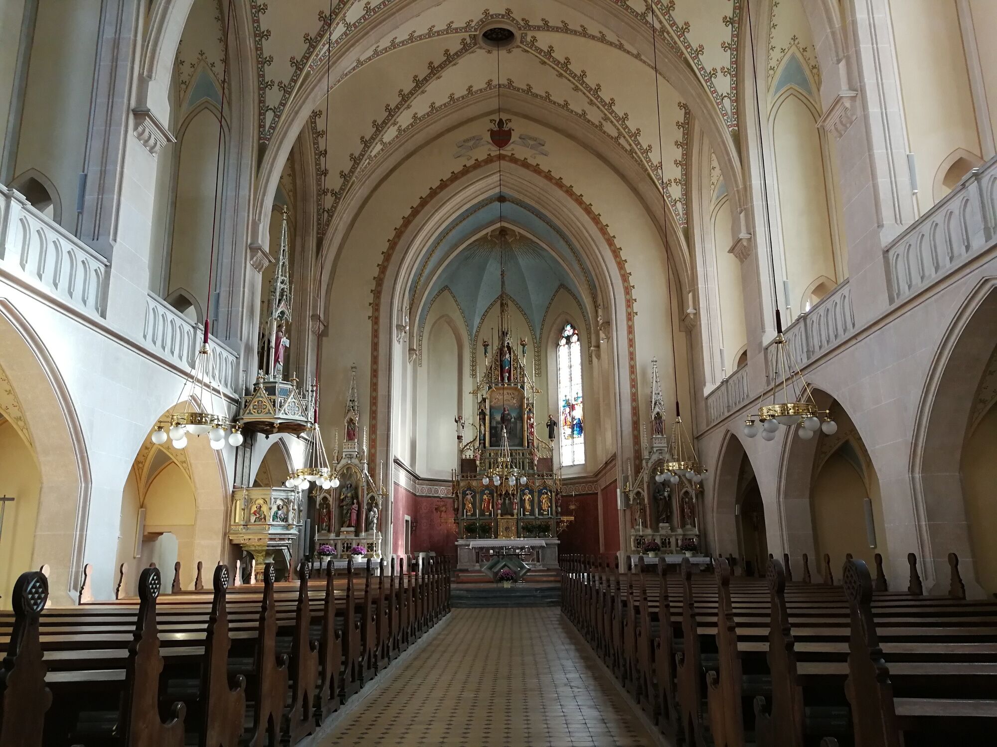
Landgasthaus Liebmann0,5 kmWeißkirchen in Steiermark2,8 kmPfarrkirche hl. Veit3,1 kmFisching4,3 km
- Meilleure saison
-
janv.févr.marsavrilmaijuinjuil.aoûtsept.oct.nov.déc.
- Hauteur maximale
- 688 m
- Point de mire
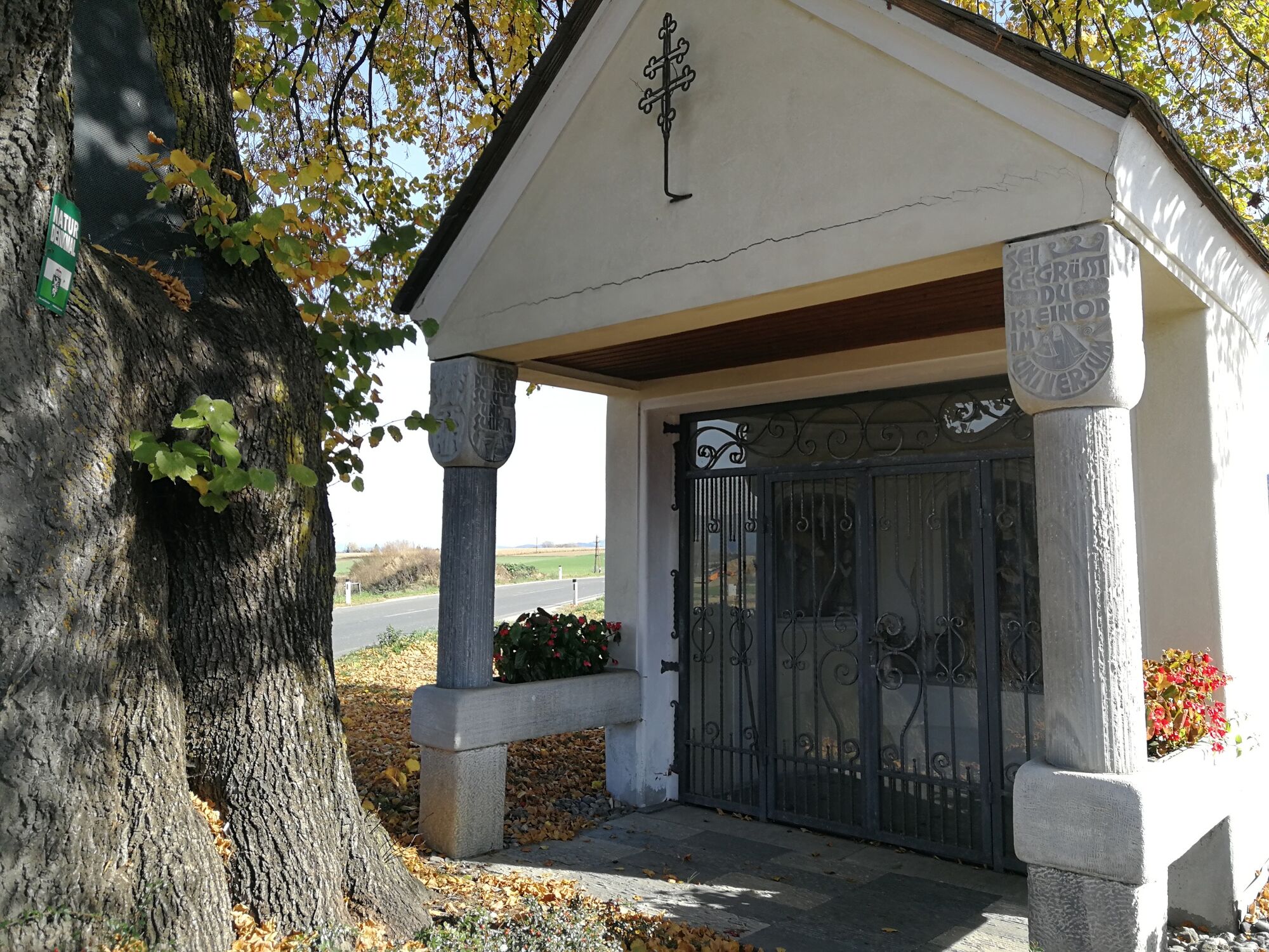
-
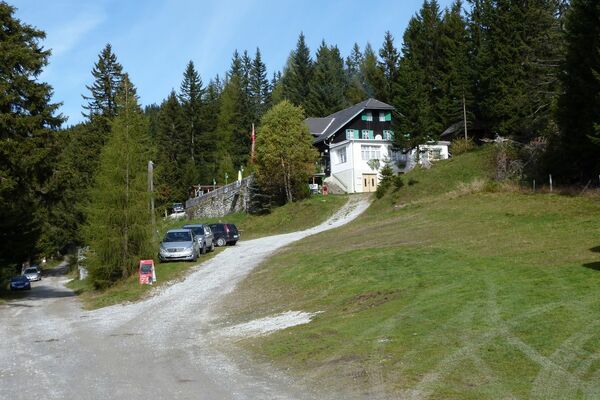
Fisching parking lot
- Profil en hauteur
-


-

-
AuteurLa randonnée discover Weißkirchen via your tongue est utilisé par outdooractive.com fourni par.
GPS Downloads


Informations générales
Point de rassemblement
Prometteur
Autres parcours dans les régions