© Tourismusverband Region Murau - Infobüro Murau


© Tourismusverband Region Murau - Tom Lamm

- Brève description
-
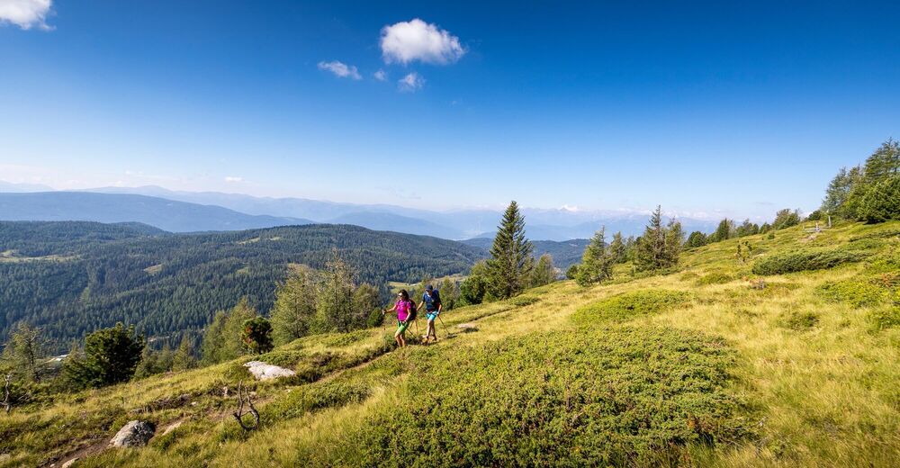
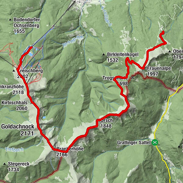
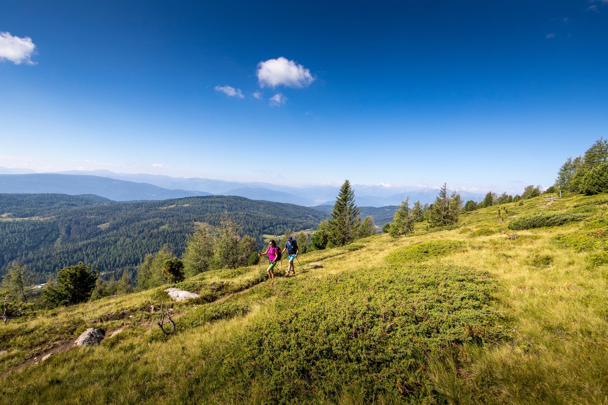
This long and panoramic hike on alpine pastures and paths from Kreischberg to Frauenalpe is a wonderful tour for persistent hikers.
- Difficulté
-
difficile
- Évaluation
-
- Parcours
-
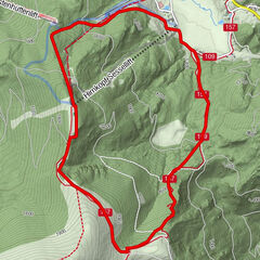
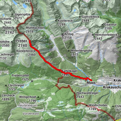
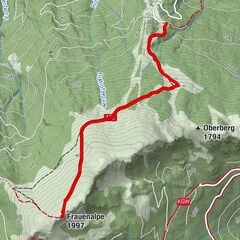
Rosenkranzhöhe (2.118 m)2,8 kmKirbisch (2.140 m)3,3 kmKirbischhals (2.060 m)3,8 kmGoldachnock (2.171 m)5,4 kmMelerhöhe5,6 kmSchattloch (2.033 m)6,1 kmPrankerhöhe (2.166 m)7,0 kmTeringerloch (2.047 m)7,3 kmSchwarmbrunnhöhe (2.120 m)7,8 kmUrsch (1.848 m)10,6 kmAckerlhöhe (2.040 m)12,8 kmFrauenalpe (1.997 m)18,3 kmBernhard-Fest-Hütte (1.980 m)18,5 kmMurauer Hütte21,5 km
- Meilleure saison
-
janv.févr.marsavrilmaijuinjuil.aoûtsept.oct.nov.déc.
- Hauteur maximale
- 2.160 m
- Point de mire
-
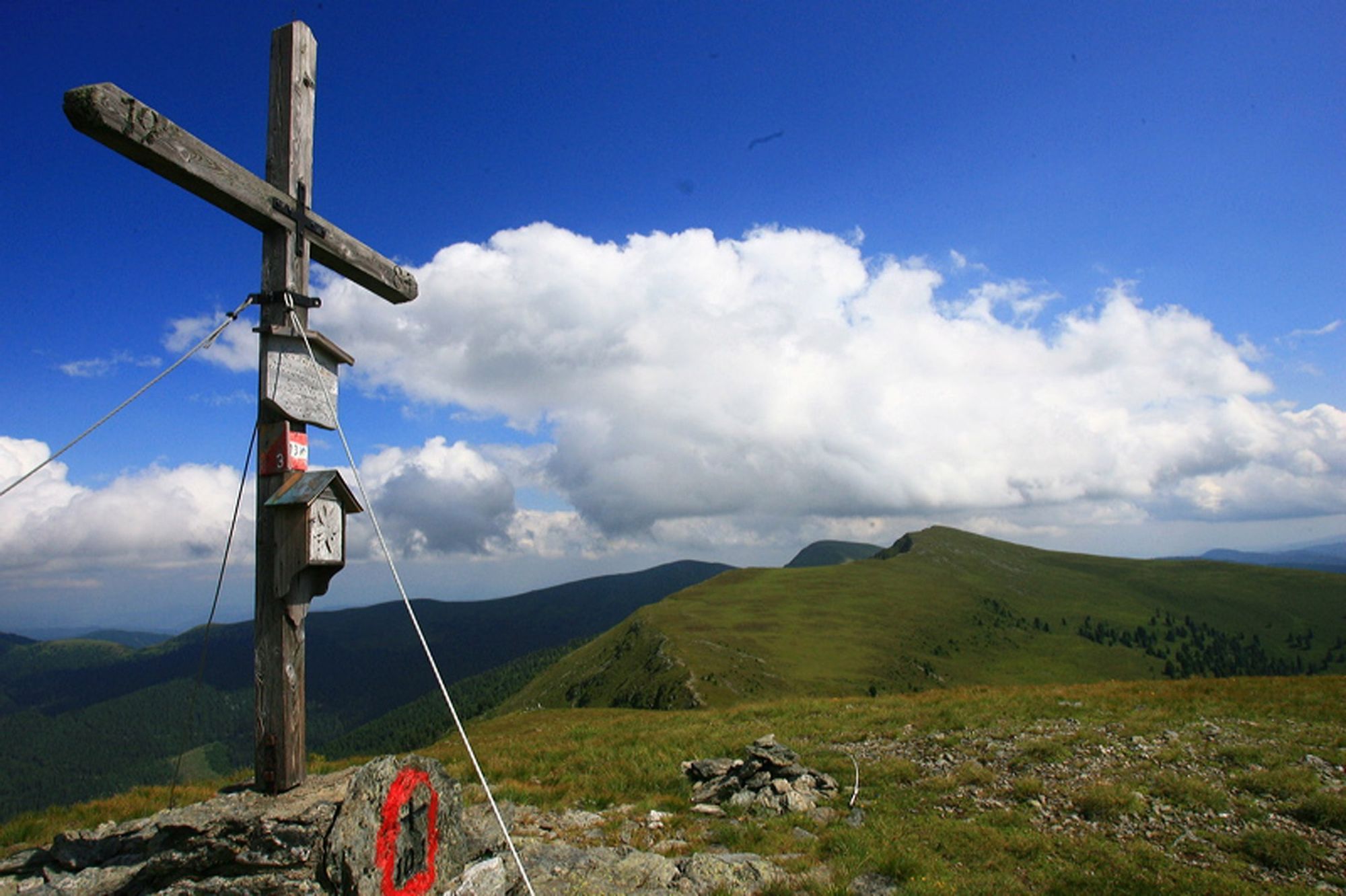
Murauerhütte, Frauenalpe
- Profil en hauteur
-


- Auteur
-
La randonnée 8 peak hike est utilisé par outdooractive.com fourni par.
GPS Downloads


Informations générales
Faune
Prometteur
Autres parcours dans les régions
-
TourismusRegion Murau
1747
-
Nockberge
881
-
Murau - Kreischberg
118