

© Tourismusverband Schladming - Gerhard Pilz - Gerhard Pilz

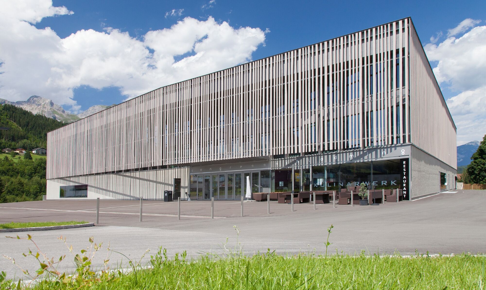
© congress Schladming - Harald Steiner - Foto MOOM - Harald Steiner - Foto MOOM

© Gerhard Pilz - www.gpic.at - Gerhard Pilz

© Gerhard Pilz - www.gpic.at - Gerhard Pilz
© Tourismusverband Schladming - Harald Steiner - Harald Steiner - Foto MOOM
© Gerhard Pilz - www.gpic.at - Gerhard Pilz
- Brève description
-
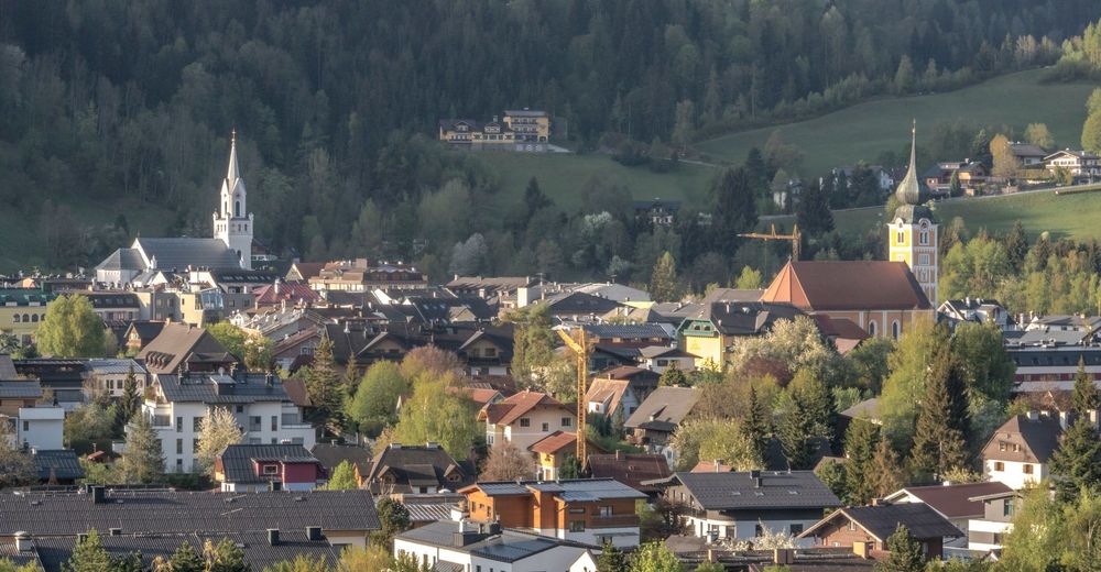
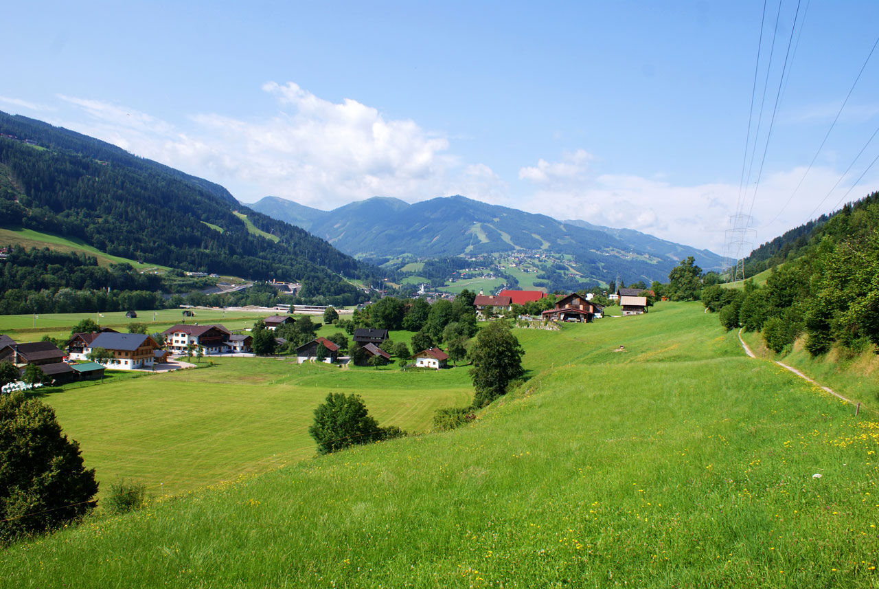
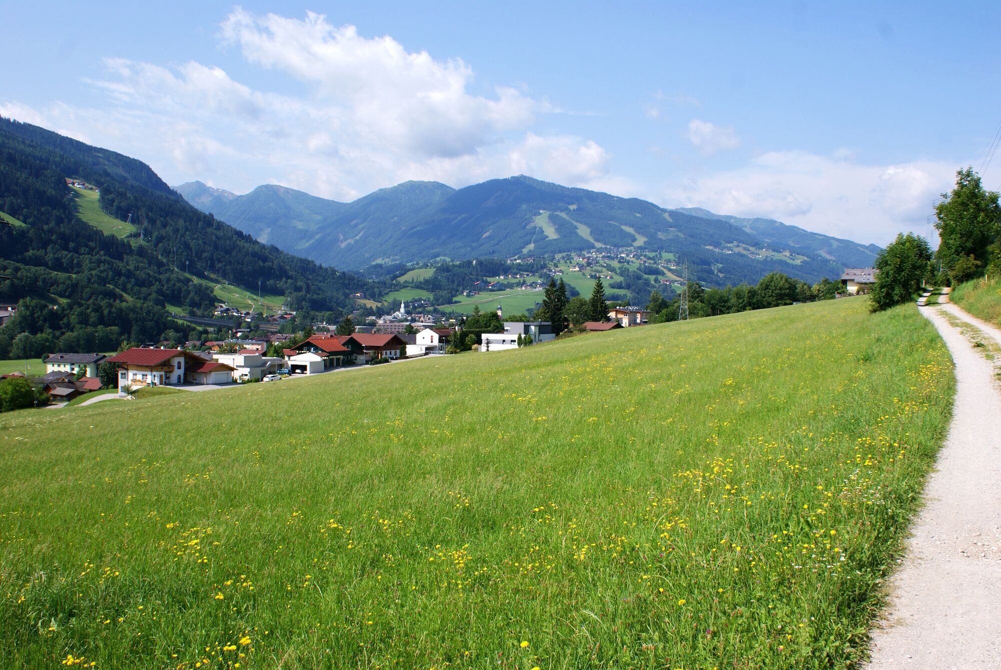
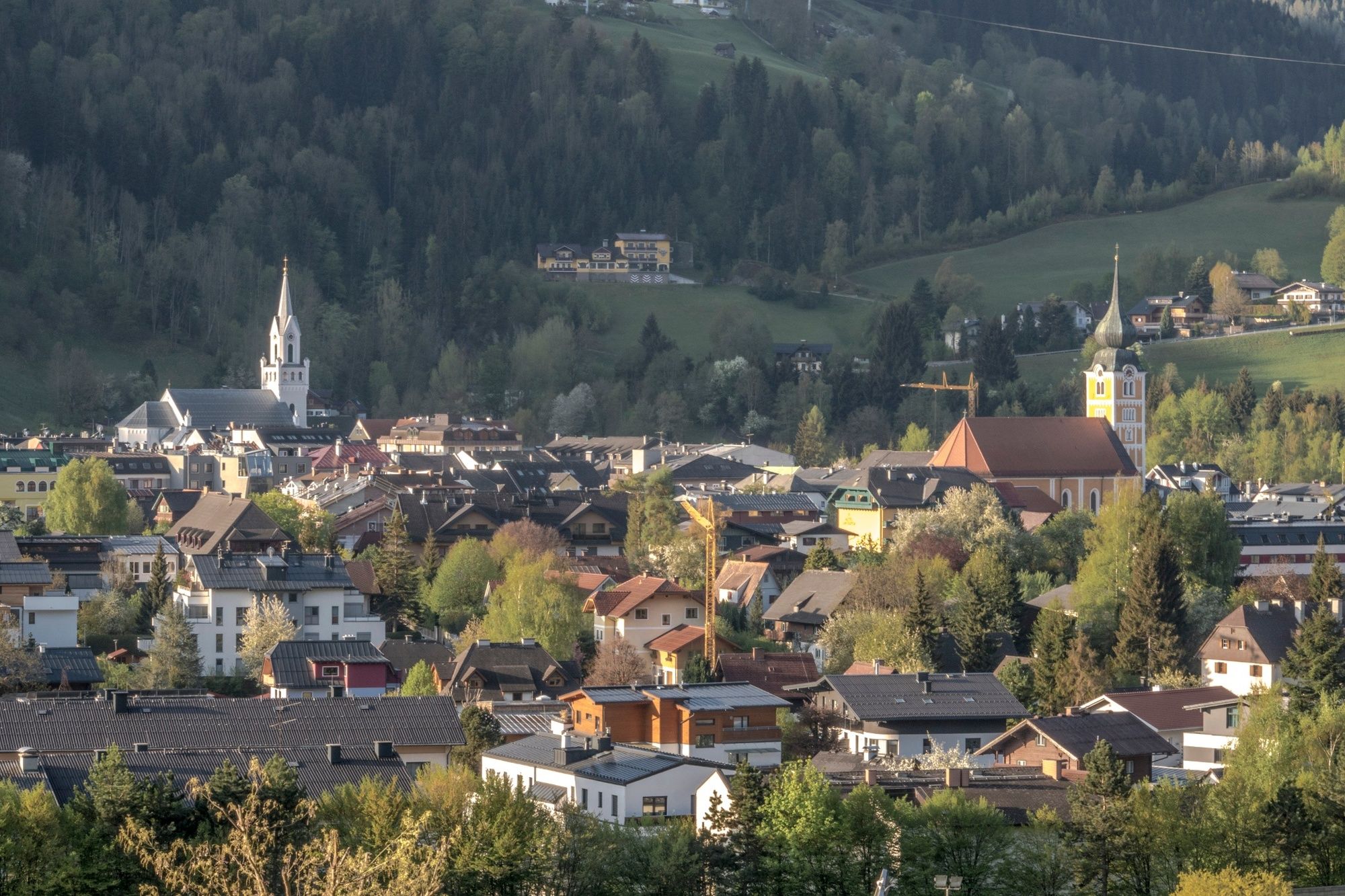
The Roman Tour is an easy hike along the sunny meadows of Schladming.
- Difficulté
-
facile
- Évaluation
-
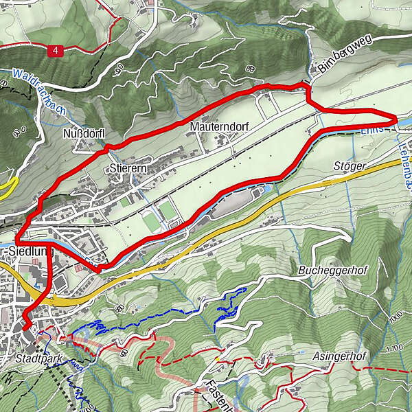
- Parcours
-
Schladming (745 m)0,1 kmSeebacher-Siedlung0,6 kmNußdörfl1,5 kmMauterndorf2,3 kmSchladming (745 m)6,7 km
- Meilleure saison
-
janv.févr.marsavrilmaijuinjuil.aoûtsept.oct.nov.déc.
- Hauteur maximale
- 780 m
- Point de mire
-
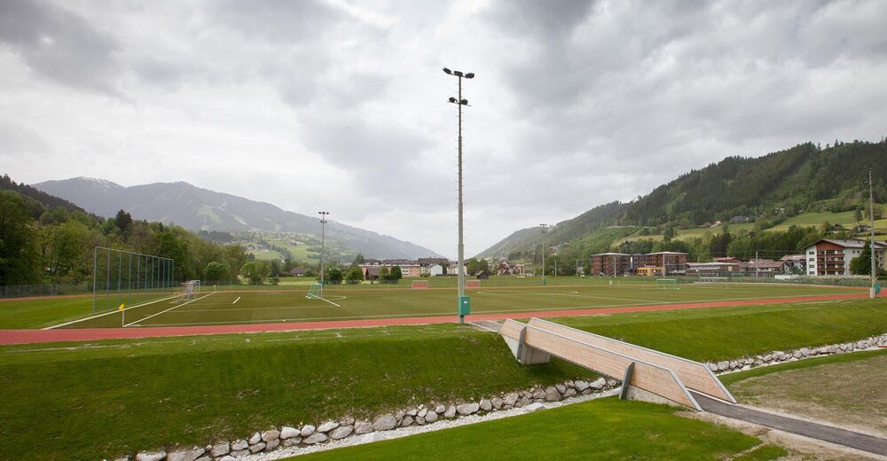
Hiking trail head Planai stadium
- Profil en hauteur
-


- Auteur
-
La randonnée Roman Tour est utilisé par outdooractive.com fourni par.
GPS Downloads


Informations générales
Point de rassemblement
Autres parcours dans les régions
-
Schladming - Dachstein
3011
-
Schladming - Rohrmoos
1490
-
Schladming
474


