© Region Graz - TV Lipizzanerheimat_EU

© Region Graz - TV Lipizzanerheimat_EU

© Region Graz - Familie Steirer

© Region Graz - TV Lipizzanerheimat_EU

© Region Graz - TV Lipizzanerheimat_EU

© Region Graz - TV Lipizzanerheimat_EU

© Region Graz - Familie Wipfler

© Region Graz - TV Lipizzanerheimat_EU

© Region Graz - TV Lipizzanerheimat_EU

© Region Graz - TV Lipizzanerheimat_EU
- Brève description
-
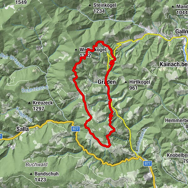
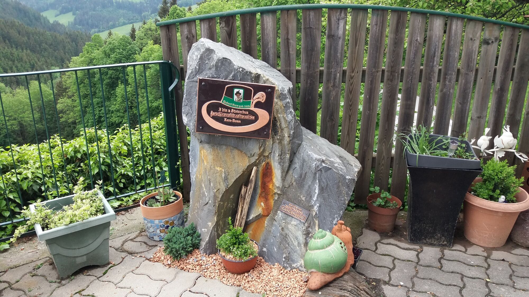
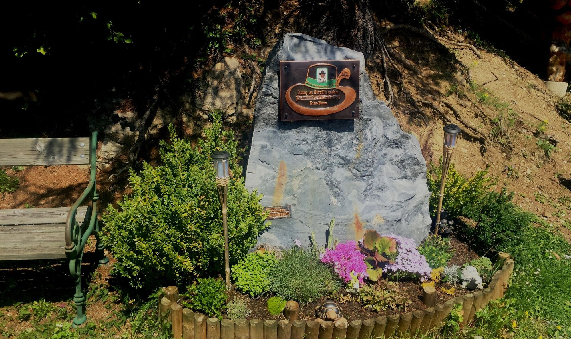
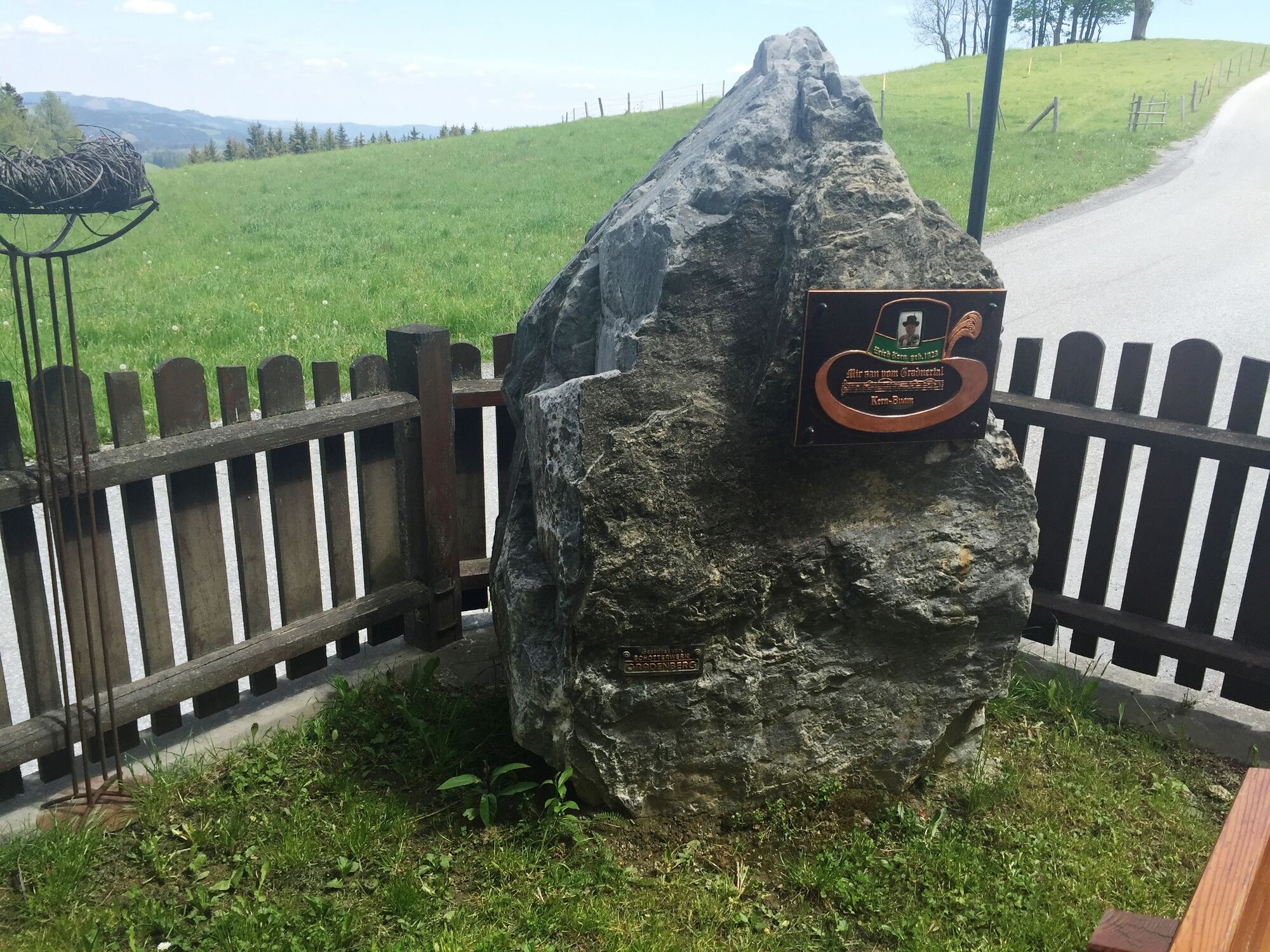
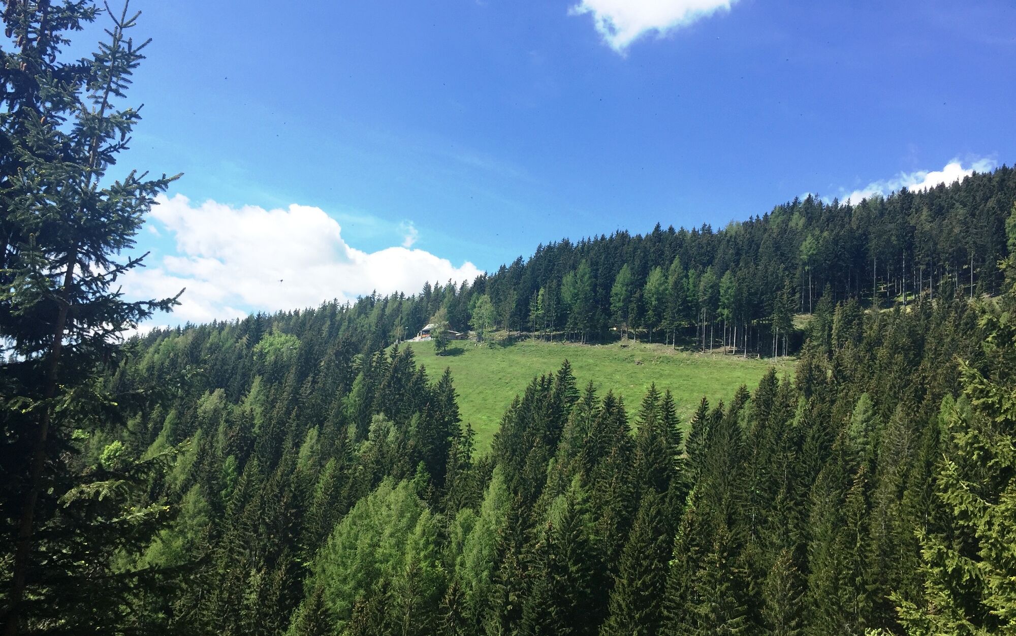
This KERN-BUAM panoramic hiking trail leads us around the mountain village of Graden and is a tribute to the legendary musicians the "Kern Buam", who were among the true musical greats of their time.
- Difficulté
-
moyen
- Évaluation
-
- Parcours
-
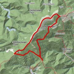
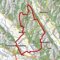
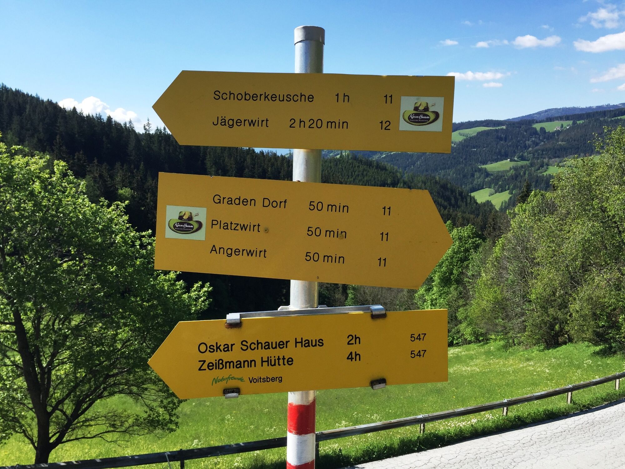
Graden0,0 kmEckwirt2,0 kmJägerwirt8,0 kmBergwirt11,4 kmPfarrkirche Heiliger Oswald16,3 kmGraden16,5 km
- Meilleure saison
-
janv.févr.marsavrilmaijuinjuil.aoûtsept.oct.nov.déc.
- Hauteur maximale
- 1.147 m
- Point de mire
-
Graden, Dorfplatz
- Profil en hauteur
-


-

-
AuteurLa randonnée KERN-BUAM panoramic hike est utilisé par outdooractive.com fourni par.
GPS Downloads


Informations générales
Point de rassemblement
Prometteur
Autres parcours dans les régions