
Dates des itinéraires
8,9km
451
- 912m
535hm
03:00h
- Difficulté
-
moyen
- Évaluation
-
- Point de départ
-
Gasthaus Bernthaler
- Parcours
-
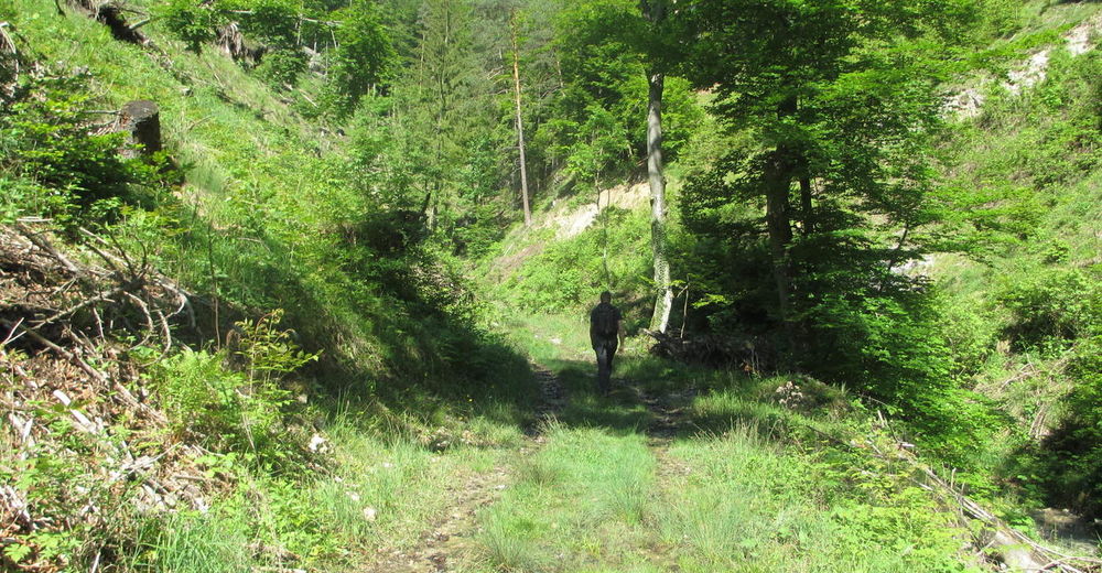
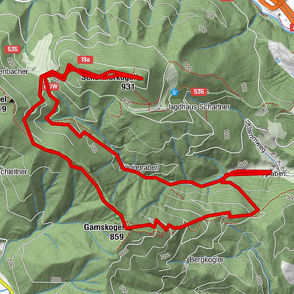
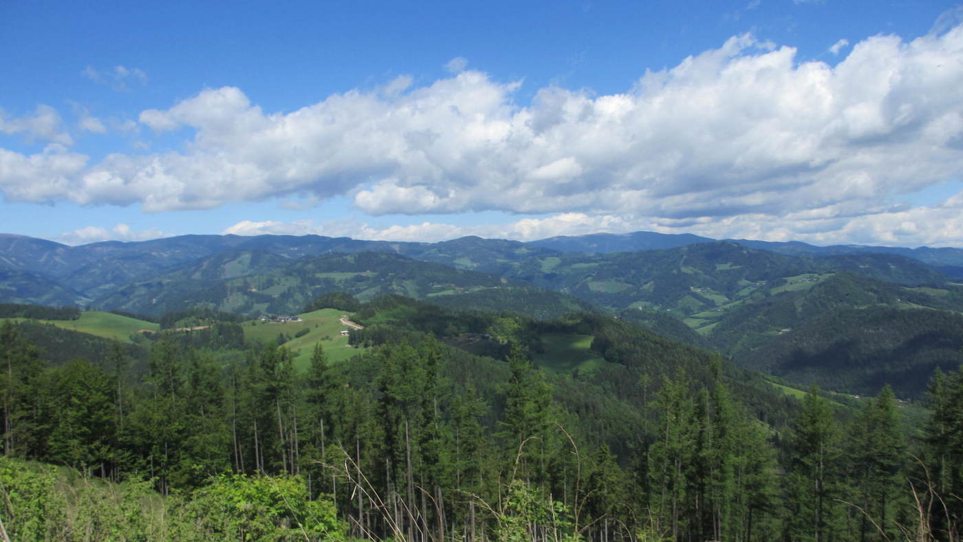
Gasthof - Pension BernthalerHagensattel (795 m)2,7 kmSchartnerkogel (931 m)3,6 kmBärenhöhle6,4 kmGamskogel (859 m)6,4 kmGasthof - Pension Bernthaler8,8 km
- Meilleure saison
-
janv.févr.marsavrilmaijuinjuil.aoûtsept.oct.nov.déc.
- Hauteur maximale
- 912 m
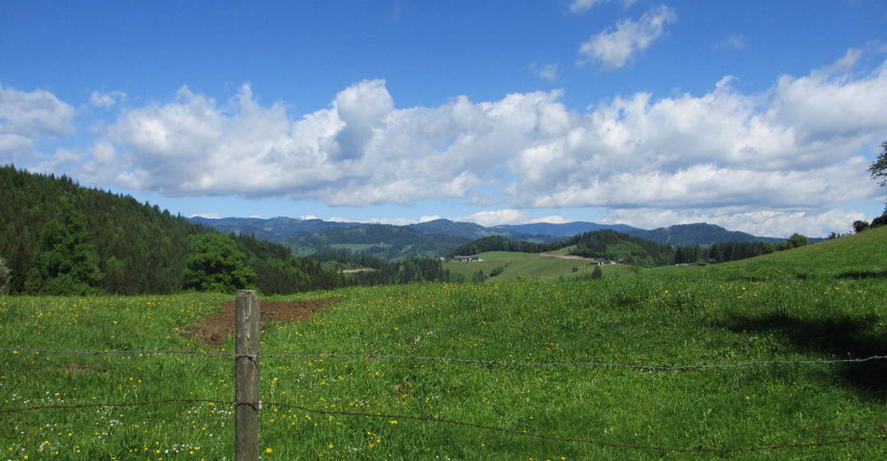
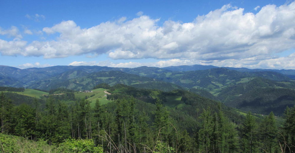
- Point de mire
-
Schartnerkogel ( 931m) und Gamskogel ( 859 m)
- Repos/Rassembler
-
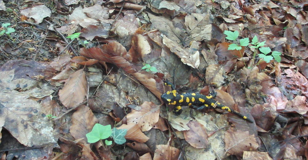
Unterwegs gibt es keine Einkehrmöglichkeit

GPS Downloads


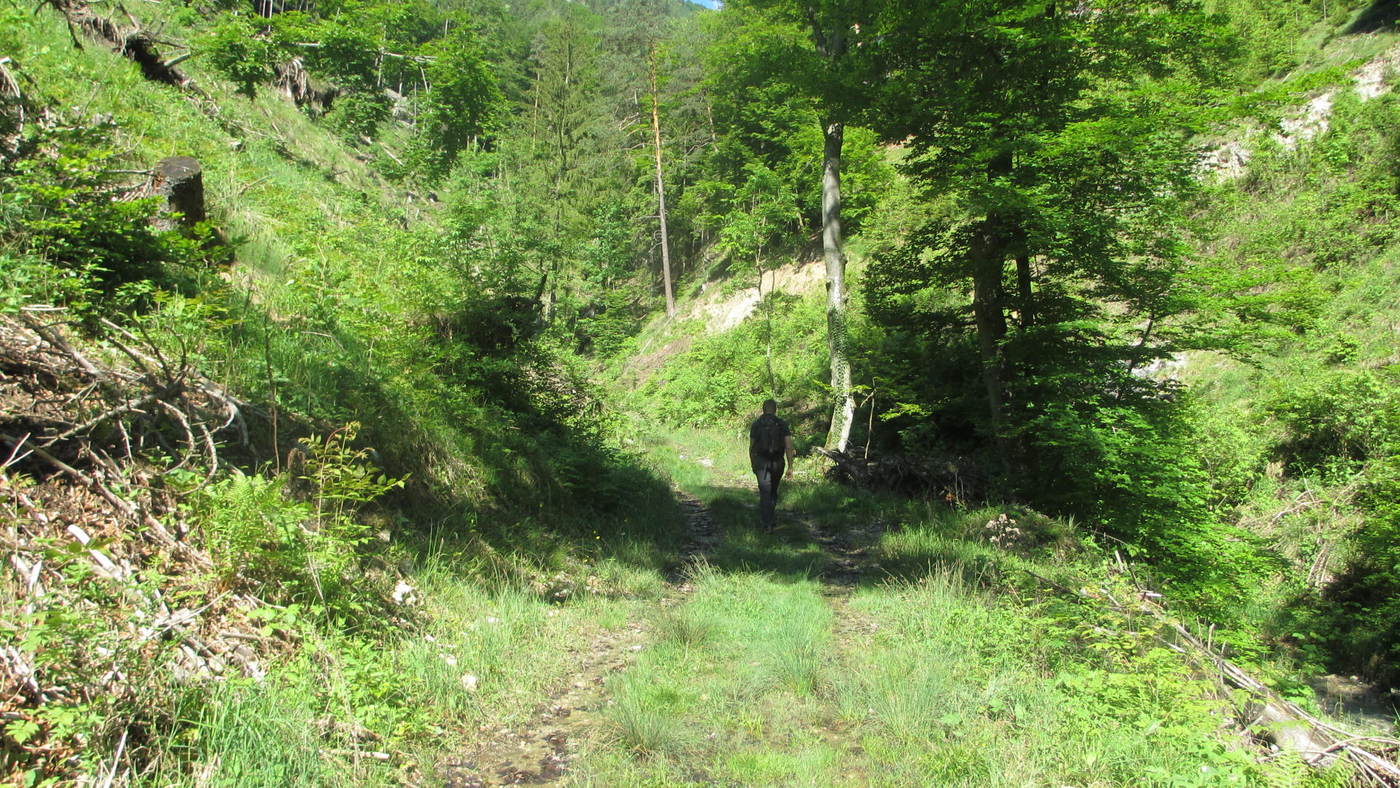
Nature du chemin
Asphalte
Gravier
Pelouse
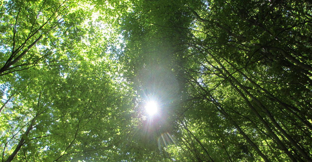
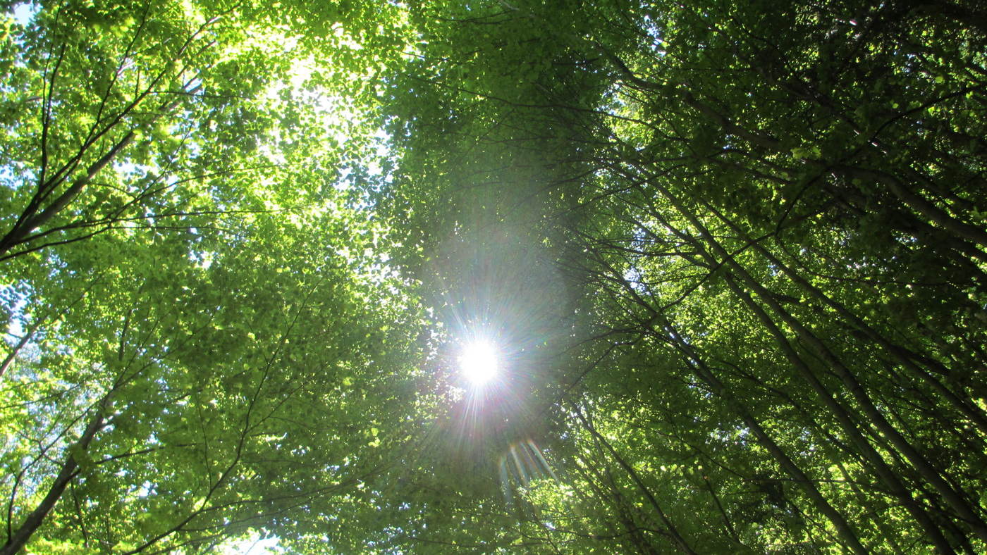
Forêt
Rocher
Exposé
Autres parcours dans les régions
-
Erlebnisregion Graz
2776
-
OberGraz
1728
-
Kleinstübing
649


