© TV Gesäuse - Tourismusverband Gesäuse

© TV Gesäuse - Tourismusverband Gesäuse

© TV Gesäuse - Tourismusverband Gesäuse

© TV Gesäuse - Tourismusverband Gesäuse

© TV Gesäuse - Tourismusverband Gesäuse

© TV Gesäuse - Tourismusverband Gesäuse

© TV Gesäuse - Tourismusverband Gesäuse

© TV Gesäuse - Tourismusverband Gesäuse

© TV Gesäuse - Tourismusverband Gesäuse

© TV Gesäuse - Tourismusverband Gesäuse

- Brève description
-
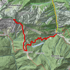
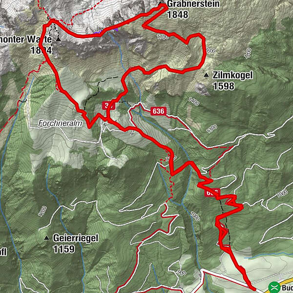
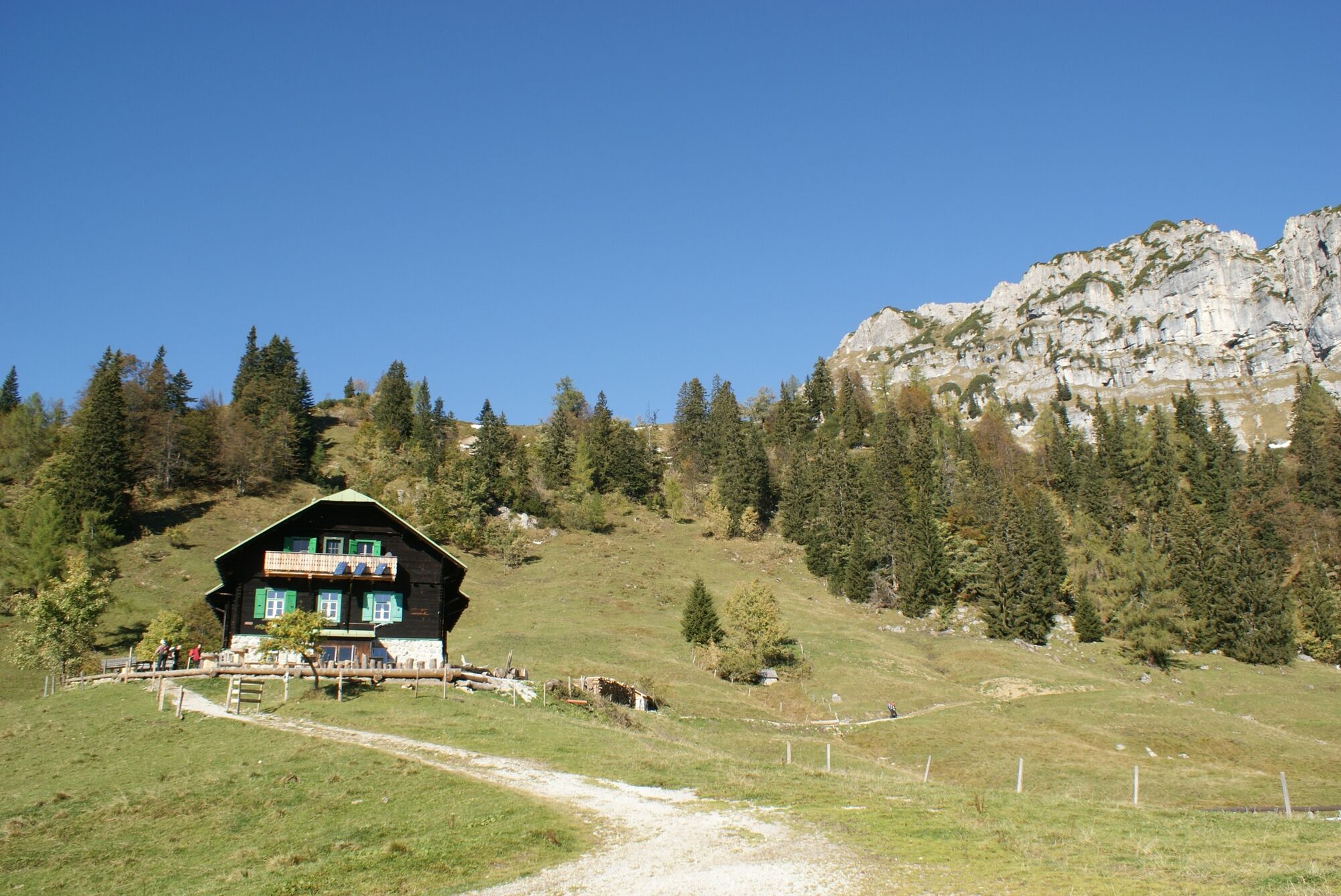
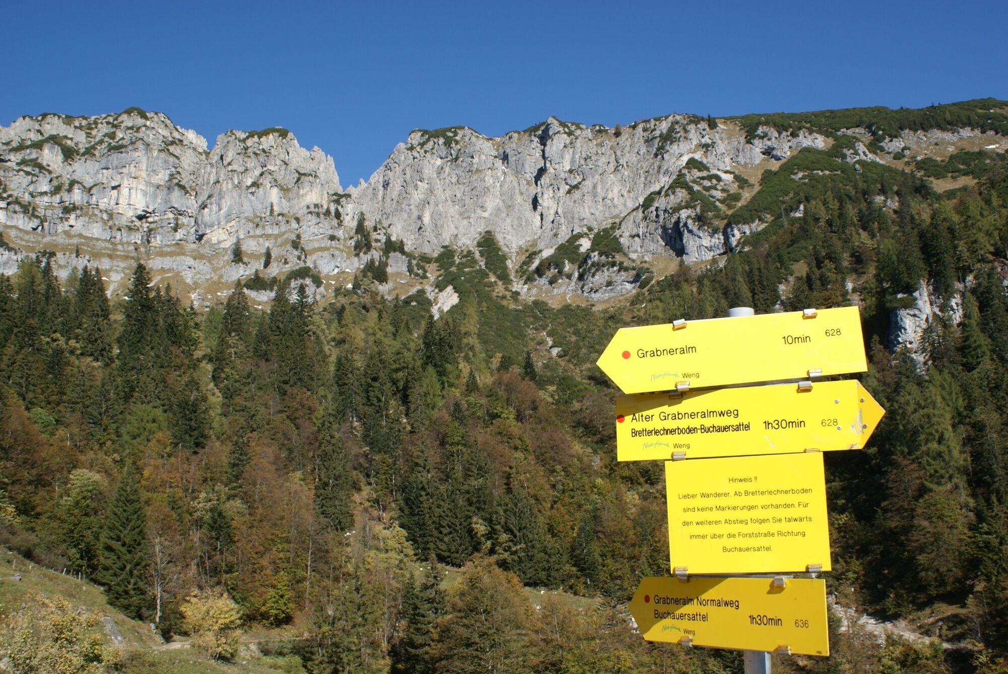
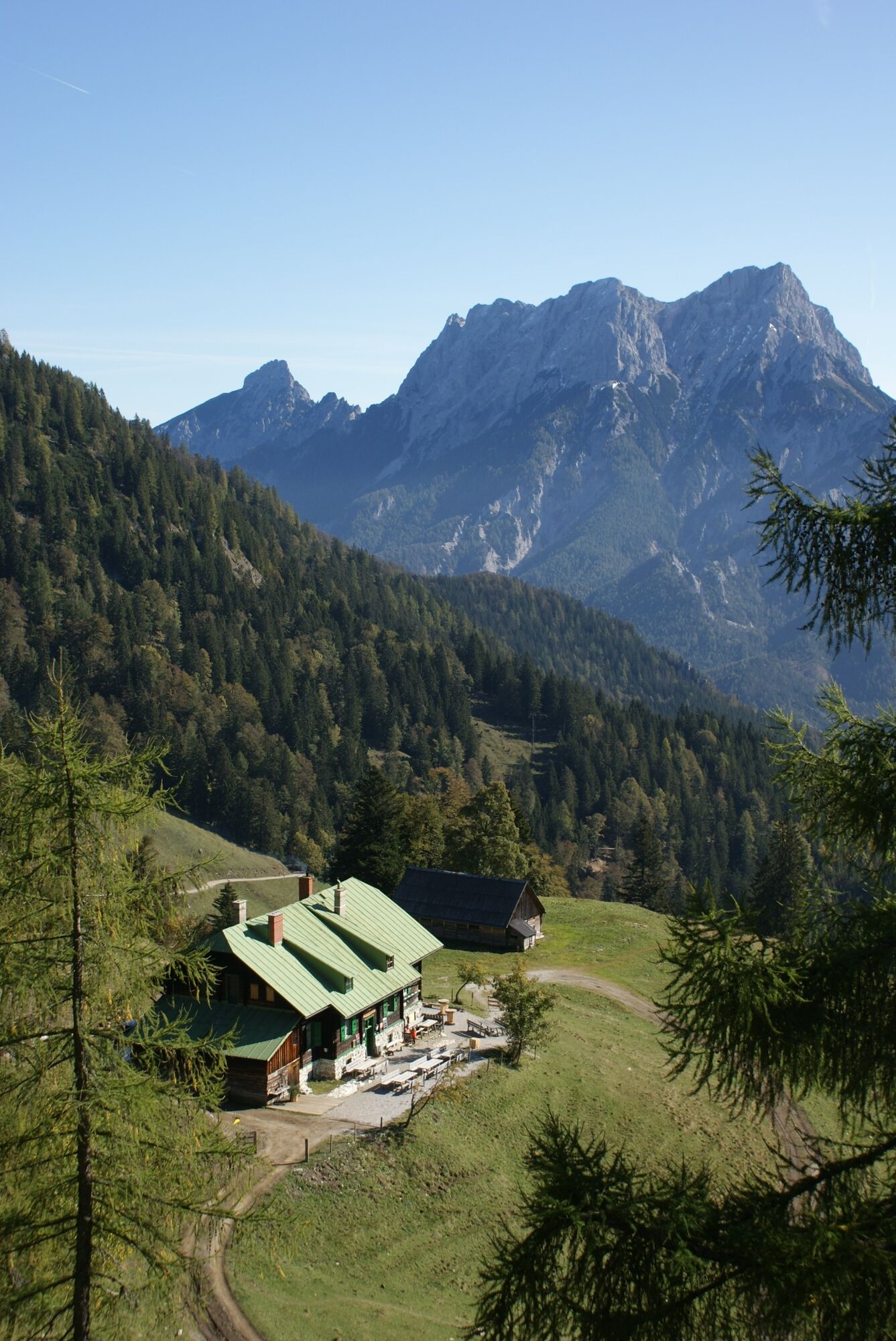
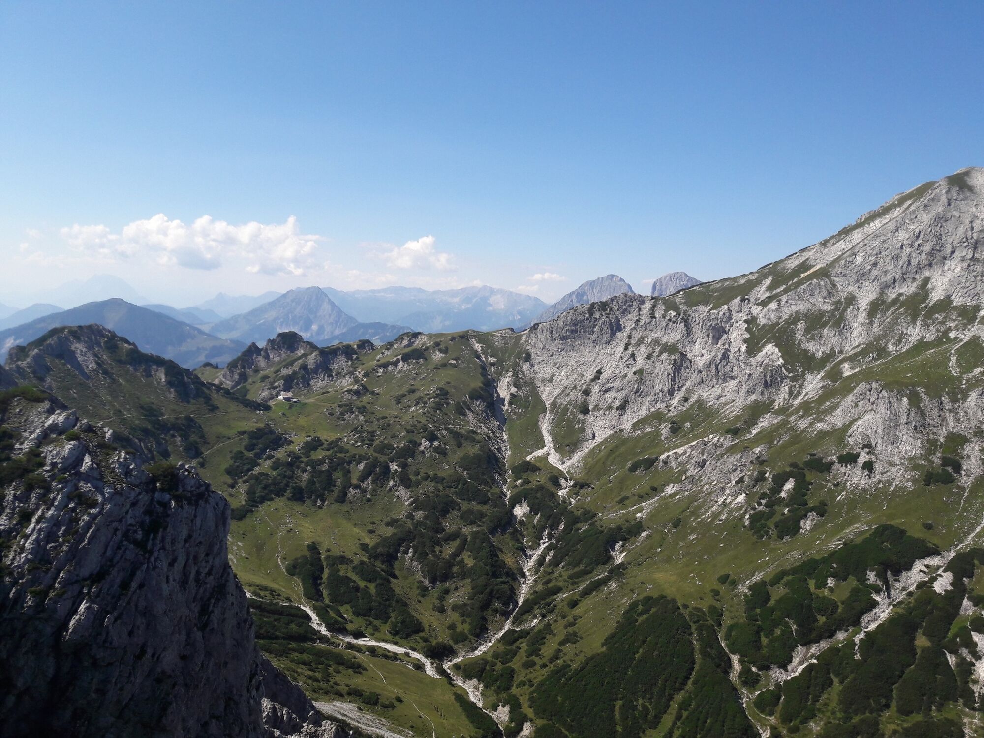
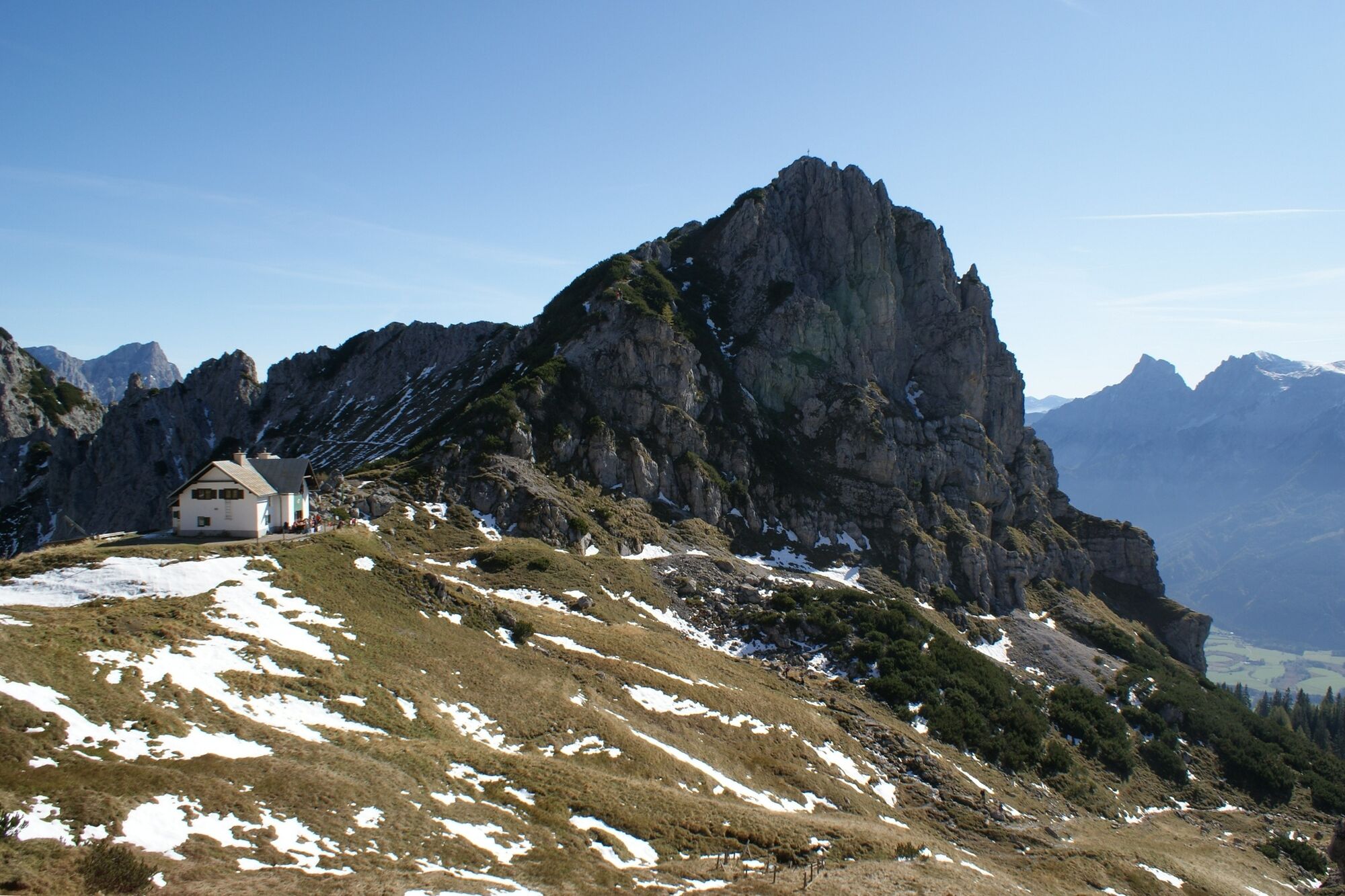
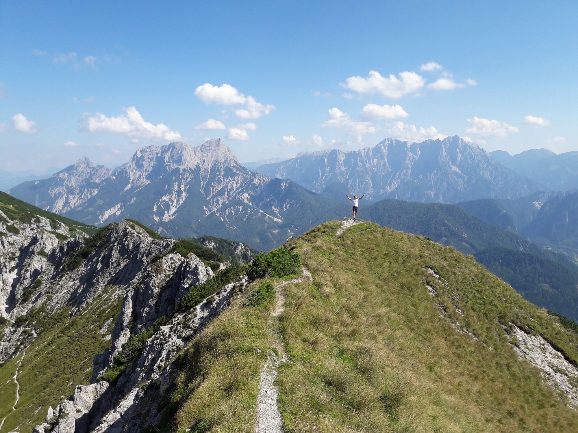
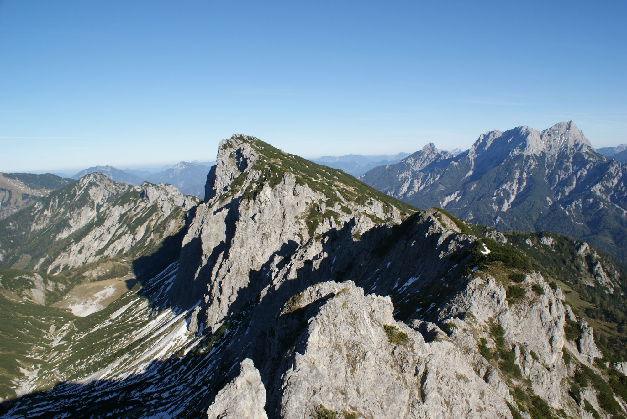
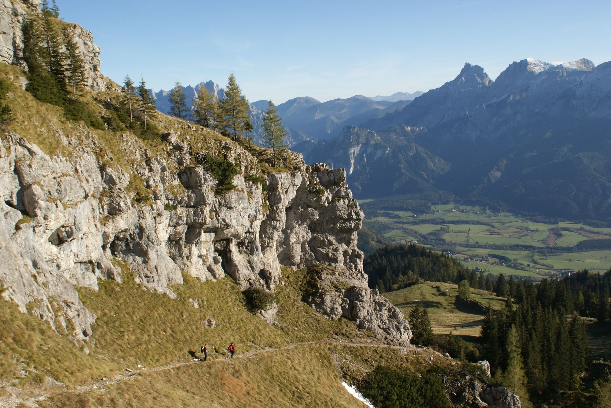
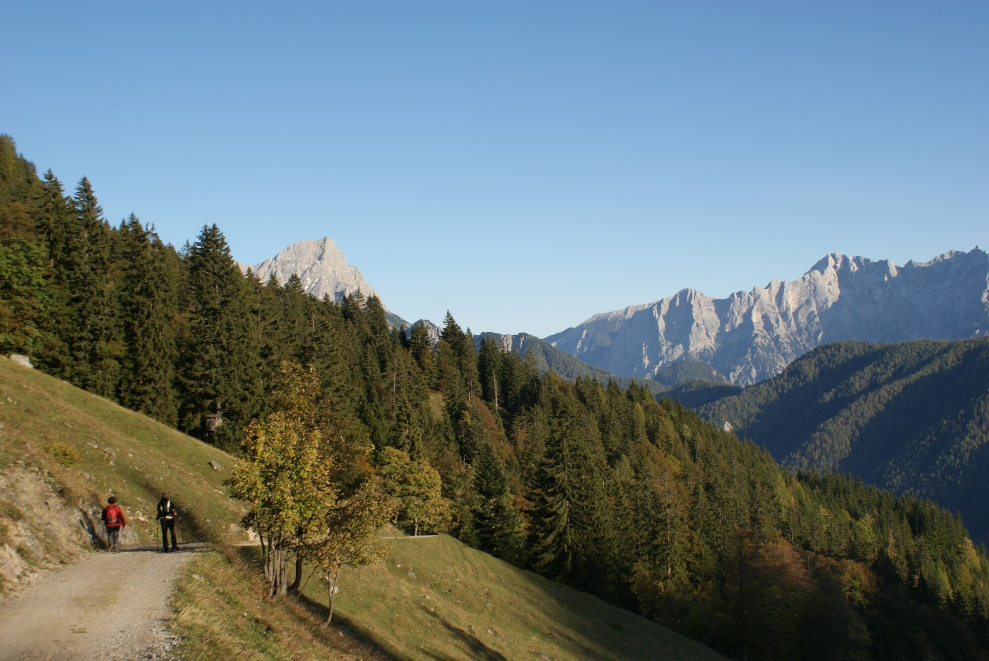
From the Buchauer Sattel over the Grabneralm you climb the Grabnerstein via the normal route.
Ferrata lovers can descend via the Jungfernsteig to the Admonterhaus and make a small round tour.
- Difficulté
-
moyen
- Évaluation
-
- Parcours
-
Grabneralm3,3 kmGrabnerstein (1.848 m)5,8 kmJungfernscharte (1.718 m)6,3 kmAdmonter Haus6,9 kmGrabneralm8,4 km
- Meilleure saison
-
janv.févr.marsavrilmaijuinjuil.aoûtsept.oct.nov.déc.
- Hauteur maximale
- 1.834 m
- Point de mire
-
Parkplatz Buchauer Sattel
- Profil en hauteur
-

-

-
AuteurLa randonnée Grabneralm with Grabnerstein (1848 m) est utilisé par outdooractive.com fourni par.
GPS Downloads


Informations générales
Point de rassemblement
Culturel/Historiquement
Flore
Prometteur
Autres parcours dans les régions
-
Gesäuse
2225
-
Steyr und die Nationalpark Region
1371
-
Admont
293


")