Dates des itinéraires
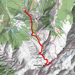
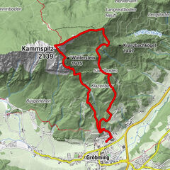
4,72km
1.179
- 1.617m
437hm
437hm
03:00h

- Brève description
-
Forststraße, Wald und Wiesen
- Difficulté
-
moyen
- Évaluation
-
- Point de départ
-
Leonhardikreuz im Sattental
- Parcours
-
Leonhardkreuz0,0 km
- Meilleure saison
-
janv.févr.marsavrilmaijuinjuil.aoûtsept.oct.nov.déc.
- Hauteur maximale
- 1.617 m
- Repos/Rassembler
-
Vorsicht: die Schladminger Alm ist nicht bewirtschaftet! Bitte Verpflegung und Trinken selber mitbringen.
- Informations par téléphone
-
+43 (0)3687 / 23310
- Link
- https://www.schladming-dachstein.at/de/groebmin...
GPS Downloads
Nature du chemin
Asphalte
Gravier
(70%)
Pelouse
(30%)
Forêt
Rocher
Exposé
Autres parcours dans les régions

