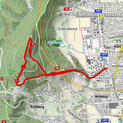
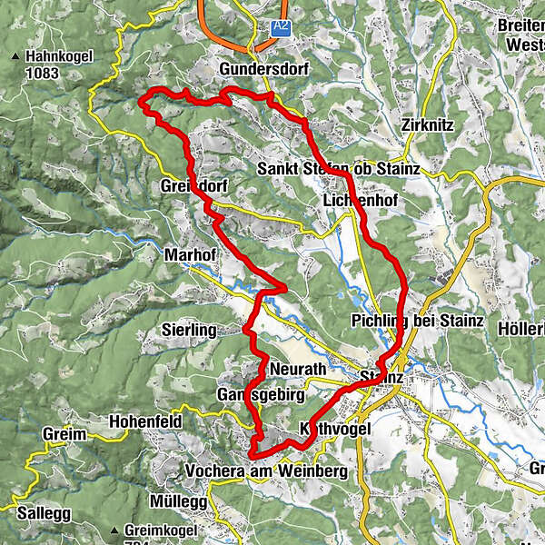
Schilcher circular route - via Vochera/Engelweingarten

Randonnée

© Schilcherland Steiermark - Lupi Spuma
© Schilcherland Steiermark - Alois Rumpf

© www.wanderfreund.at - Winfried Bräunlich

© www.wanderfreund.at Winfried Bräunlich - Winfried Bräunlich

© Wanderfreund.at Winfried Bräunlich - schilcherland kunden

© Schilcherland Steiermark - Lupi Spuma
- Brève description
-
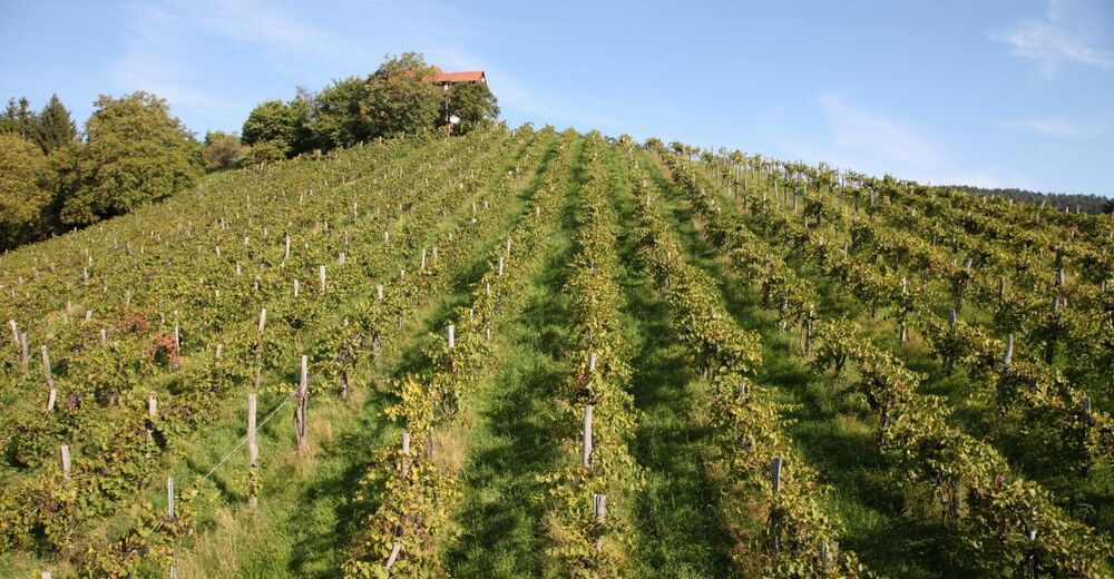
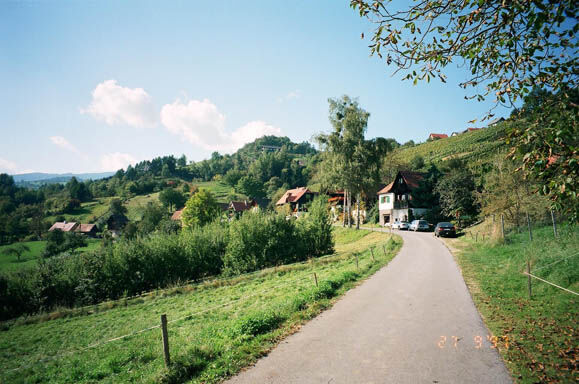
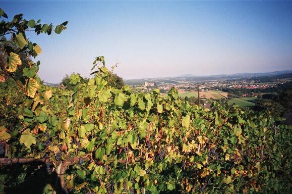
The tour offers everything that distinguishes the Schilcherheimat. For the 24-kilometre route and the nine-hour hike, you should also have the necessary stamina.
- Difficulté
-
moyen
- Évaluation
-
- Parcours
-
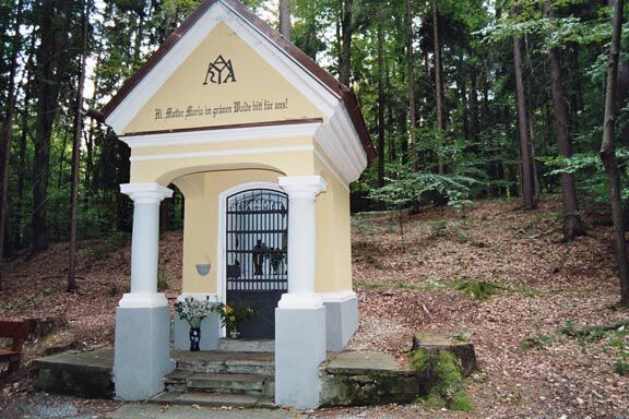
Marktkapelle Maria HimmelsköniginStainz0,1 kmKothvogel1,9 kmBuschenschank Jud2,2 kmVochera am Weinberg3,2 kmGamsgebirg4,5 kmWald in der Weststeiermark7,1 kmPreißberg8,2 kmSteinreib9,5 kmGasthaus Fuchswirt Jochum10,4 kmGreisdorf10,6 kmGreisdorf10,7 kmKraxnerkapelle11,6 kmBuschenschank Christian Hackl14,2 kmGundersdorf16,6 kmNeuberg17,2 kmMitterweg18,1 kmRestaurant Pizzeria Mediteran18,7 kmSankt Stefan ob Stainz19,0 kmPfarrkirche Sankt Stefan ob Stainz19,1 kmGasthaus Auer19,5 kmLichtenhof19,8 kmSechterberg21,6 kmMarienkapelle22,2 kmPichling bei Stainz22,6 kmPfarrkirche Heilige Katharina23,5 kmStainz23,7 kmMarktkapelle Maria Himmelskönigin23,8 km
- Meilleure saison
-
janv.févr.marsavrilmaijuinjuil.aoûtsept.oct.nov.déc.
- Hauteur maximale
- 646 m
- Point de mire
-
Stainz Centre
- Profil en hauteur
-


-

-
AuteurLa randonnée Schilcher circular route - via Vochera/Engelweingarten est utilisé par outdooractive.com fourni par.
GPS Downloads


Informations générales
Point de rassemblement
Prometteur
Autres parcours dans les régions
-
Erlebnisregion Graz
2783
-
Schilcherland Steiermark
1100
-
St. Stefan ob Stainz
297