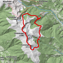
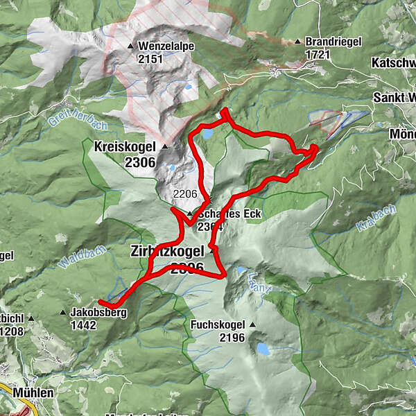
From the Tonnerhütte to the Scharfen Eck, Winterleitenhütte, Sabathyhütte and Zirbitzkogel

Randonnée

© Tom Lamm - Infobüro Murau


© Rene Hochegger - Tourismusverband Region Murau

- Brève description
-
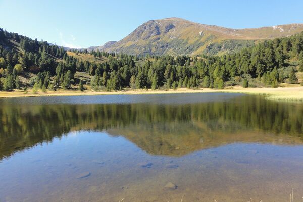
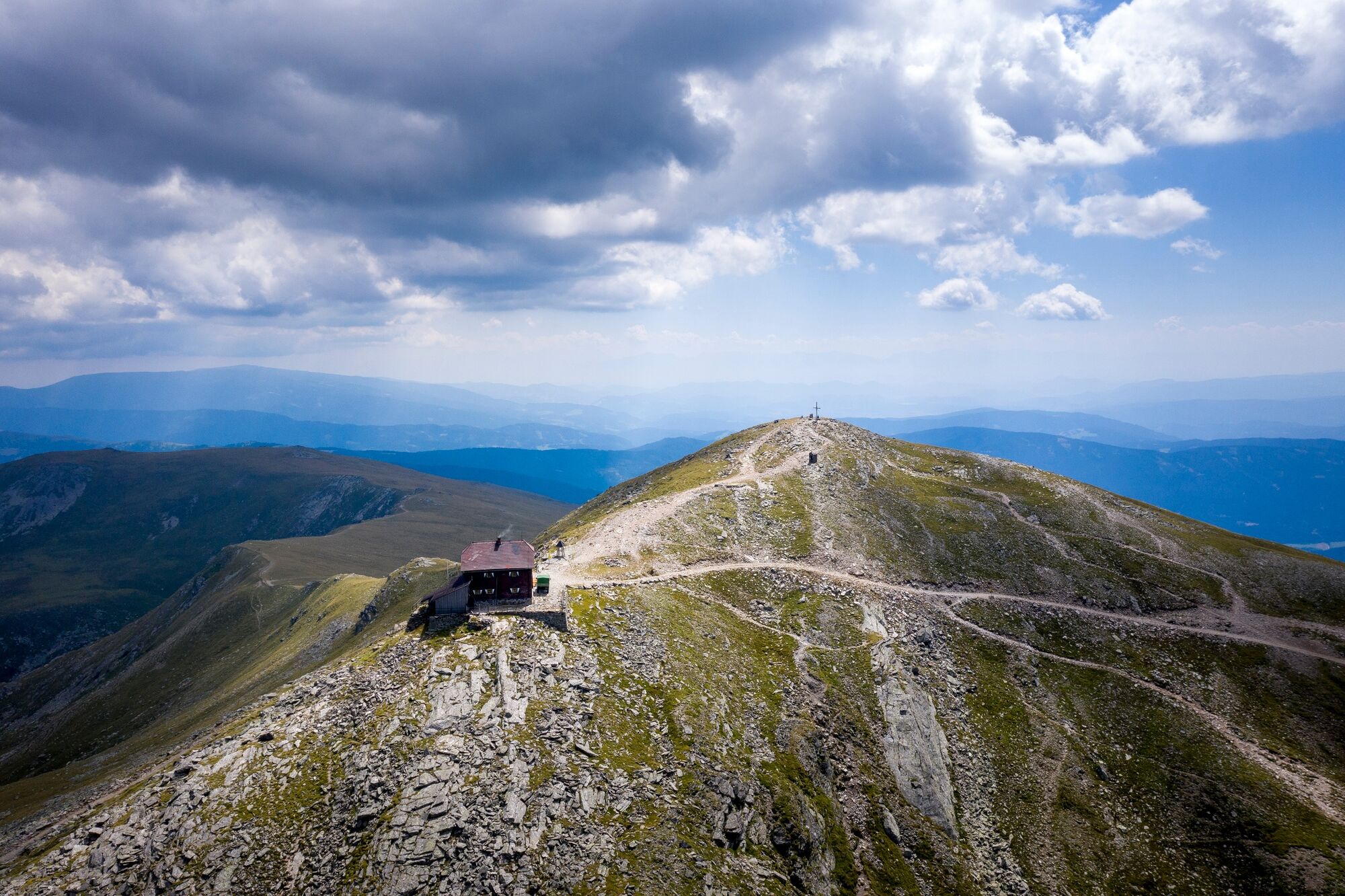
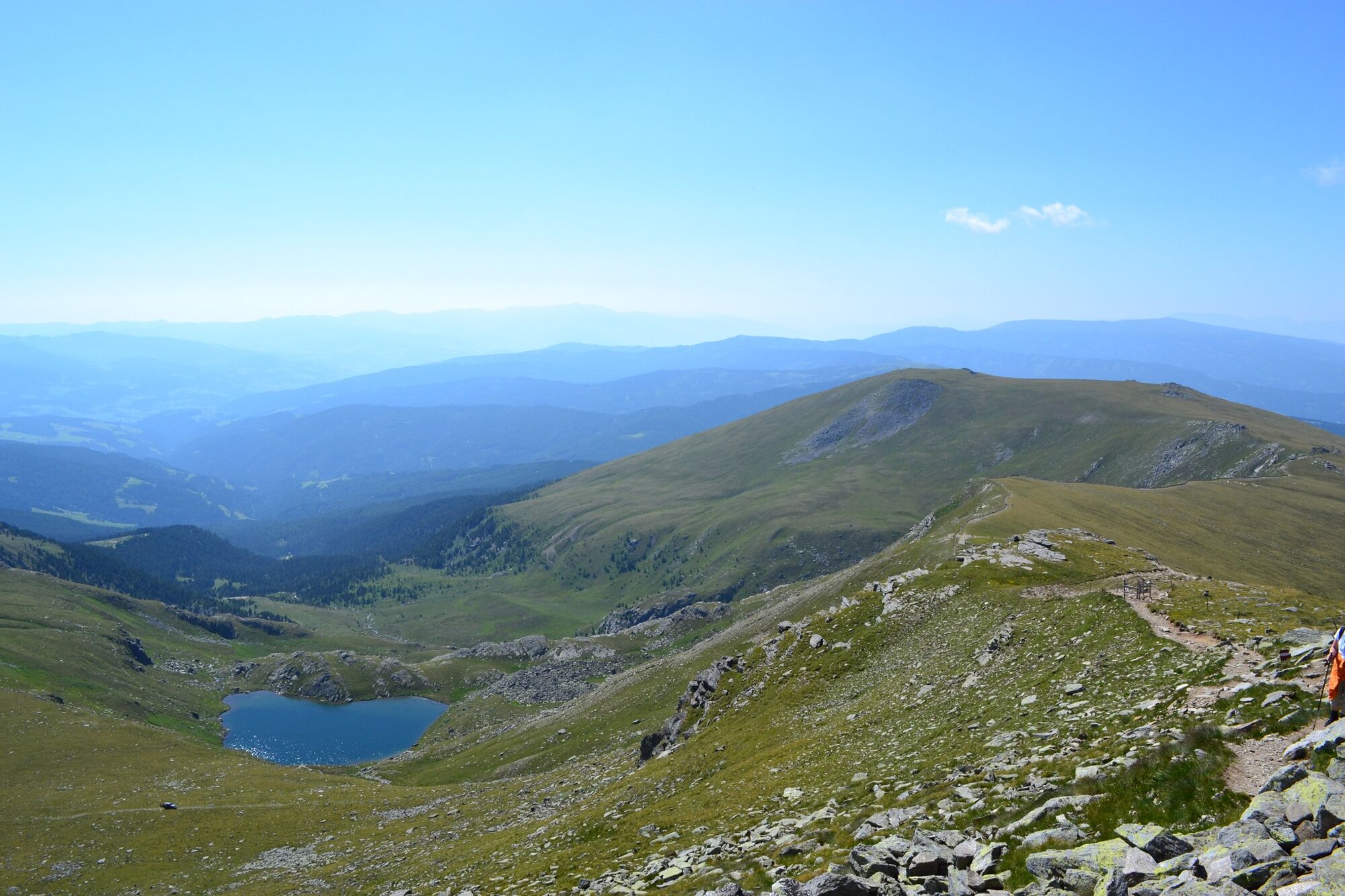
From the Tonnerhütte to the Sabathyhütte and further to the Winterleitenhütte you can enjoy magnificent views of the glaciers of the Hohe Tauern, the entire Niedere Tauern, the Eisenerz Alps, the Seckauer Alps, the Hochschwab, the Stubalpe, the Koralpe, the Saualpe, the Steiner Alps and the Julian Alps in Slovenia and the Zirbitzkogel-Grebenzen Nature Park.
- Difficulté
-
difficile
- Évaluation
-
- Parcours
-
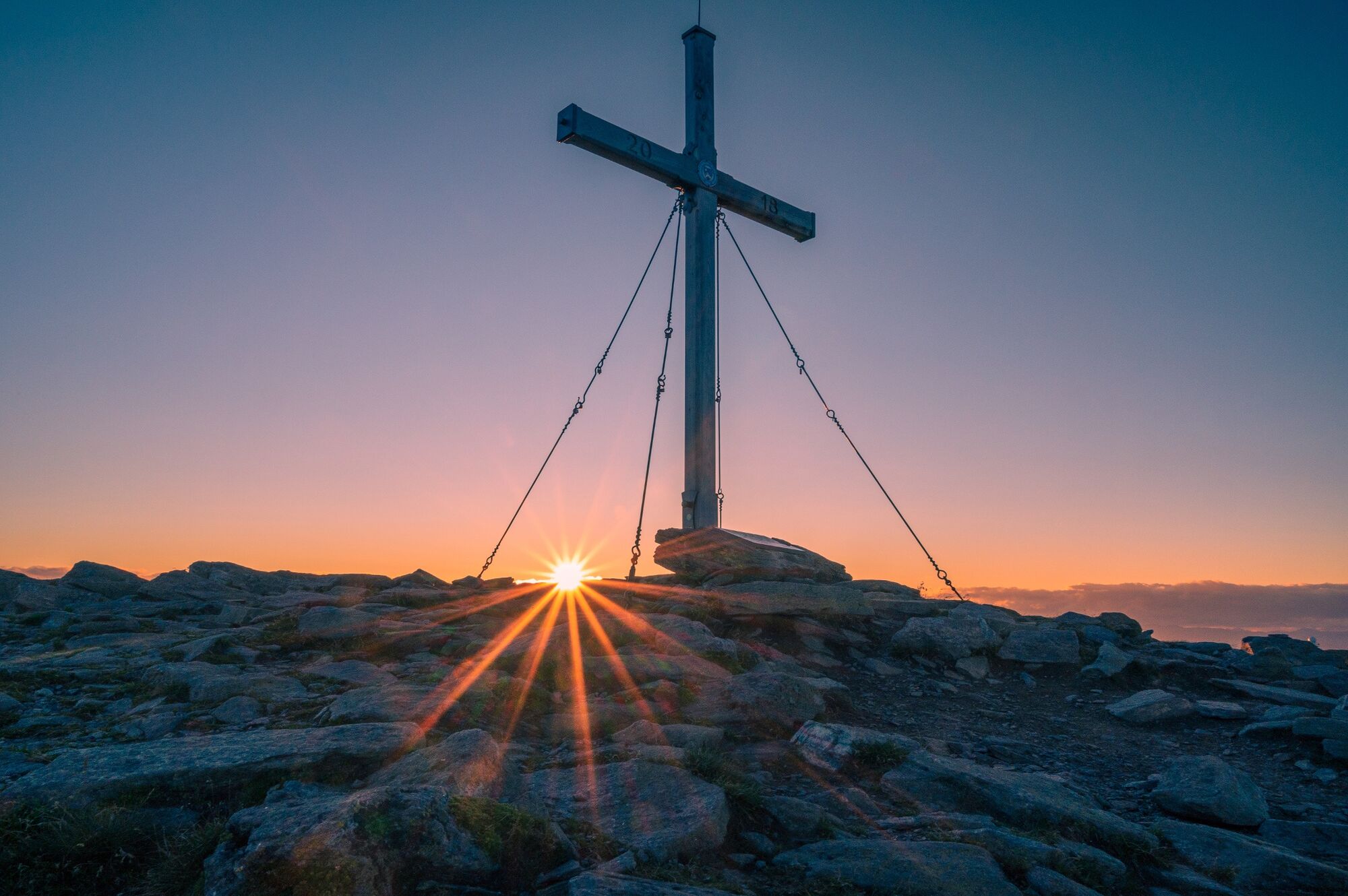
Tonnerhütte0,1 kmWinterleitenhütte8,5 kmAlpengasthof Sabathy11,4 kmZirbitzkogel Schutzhaus16,1 kmZirbitzkogel (2.396 m)16,2 kmTonnerhütte20,5 km
- Meilleure saison
-
janv.févr.marsavrilmaijuinjuil.aoûtsept.oct.nov.déc.
- Hauteur maximale
- 2.362 m
- Point de mire
-
Tonnerhütte, Mühlen
- Profil en hauteur
-

- Auteur
-
La randonnée From the Tonnerhütte to the Scharfen Eck, Winterleitenhütte, Sabathyhütte and Zirbitzkogel est utilisé par outdooractive.com fourni par.
GPS Downloads
Informations générales
Point de rassemblement
Prometteur
Autres parcours dans les régions