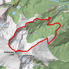
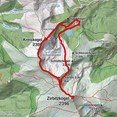
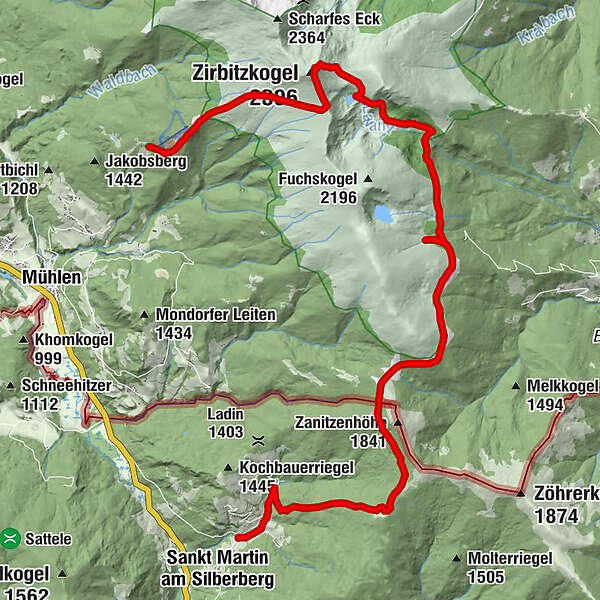
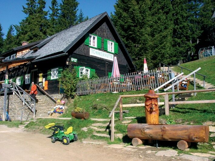
From the Tonnerhütte via the Lavantsee to St. Martin am Silberberg

Randonnée

© www.zirbitzkogel.at - Katharina PIrolt


- Brève description
-
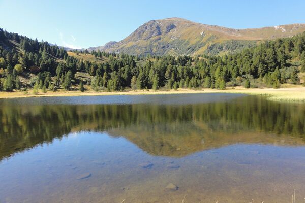
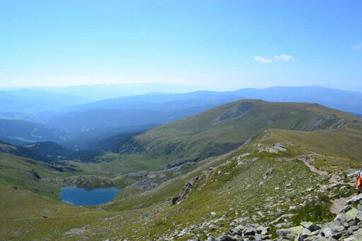
Over the summit of the Zirbitzkogel, the scenic path leads to the Lavantsee and over several huts to Carinthia. In the idyllic village of St. Martin am Silbergberg we have reached our destination.
- Difficulté
-
difficile
- Évaluation
-
- Parcours
-
Tonnerhütte0,0 kmZirbitzkogel (2.396 m)4,3 kmZirbitzkogel Schutzhaus4,4 kmKöhlerhütte7,2 kmKatholisches Kreuz (1.814 m)8,4 kmRohrerhütte10,1 kmStoanahütte13,3 kmSt. Martiner Hütte15,5 kmHinterberg19,7 km
- Meilleure saison
-
janv.févr.marsavrilmaijuinjuil.aoûtsept.oct.nov.déc.
- Hauteur maximale
- 2.359 m
- Point de mire
-
Village center St. Martin am Silberberg
- Profil en hauteur
-

- Auteur
-
La randonnée From the Tonnerhütte via the Lavantsee to St. Martin am Silberberg est utilisé par outdooractive.com fourni par.
GPS Downloads


Informations générales
Point de rassemblement
Prometteur
Autres parcours dans les régions
-
Erlebnisregion Murtal
1783
-
Steirisches Zirbenland
711
-
Mühlen
222