© Oststeiermark Tourismus - Sepp Reitbauer

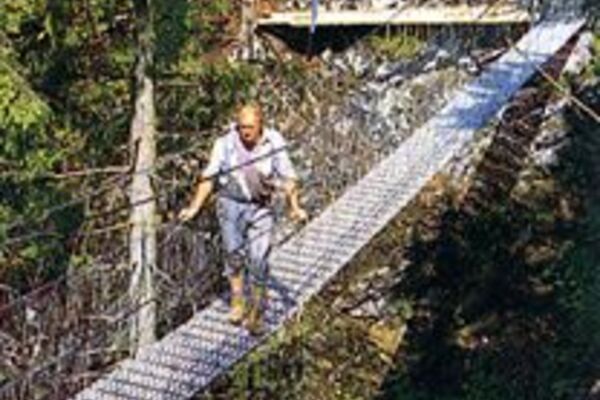
© Oststeiermark Tourismus - Sepp Reitbauer

© Oststeiermark Tourismus - Sepp Reitbauer

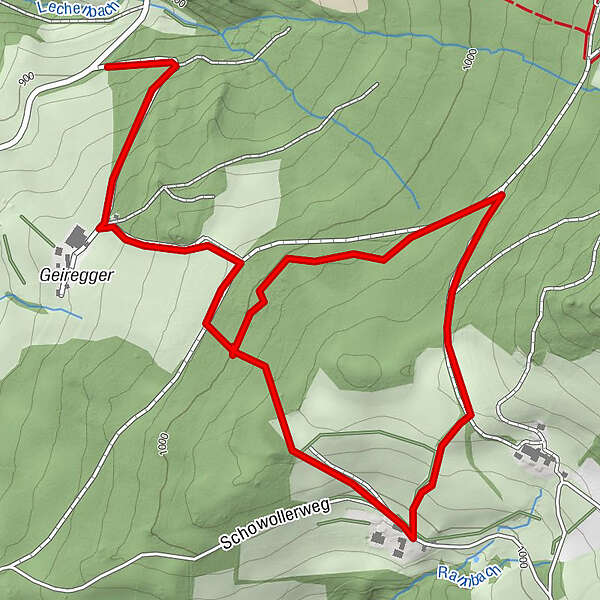
© Oststeiermark Tourismus - Sepp Reitbauer

© Klaus Ranger - Karl Ranger
- Brève description
-
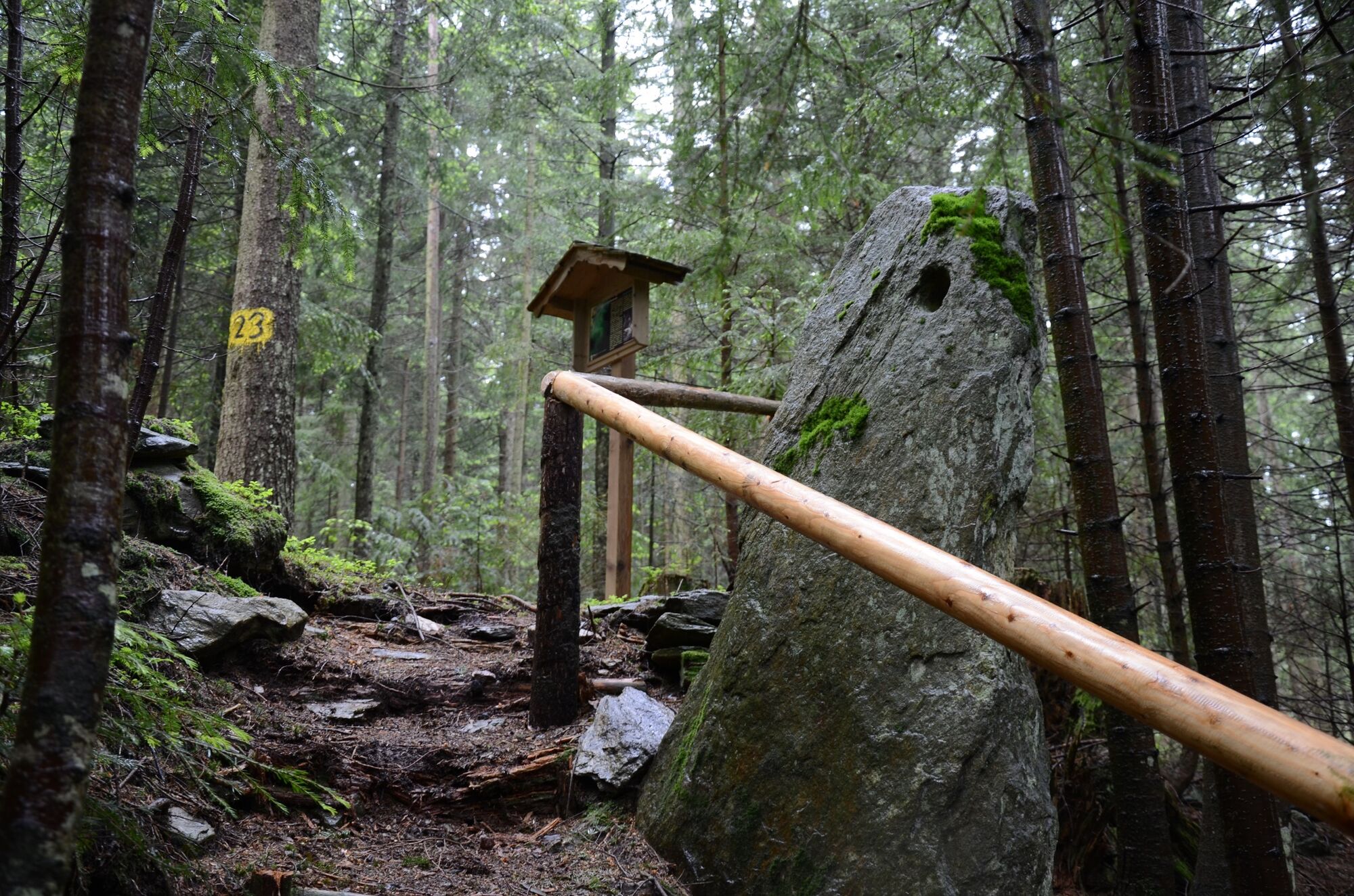
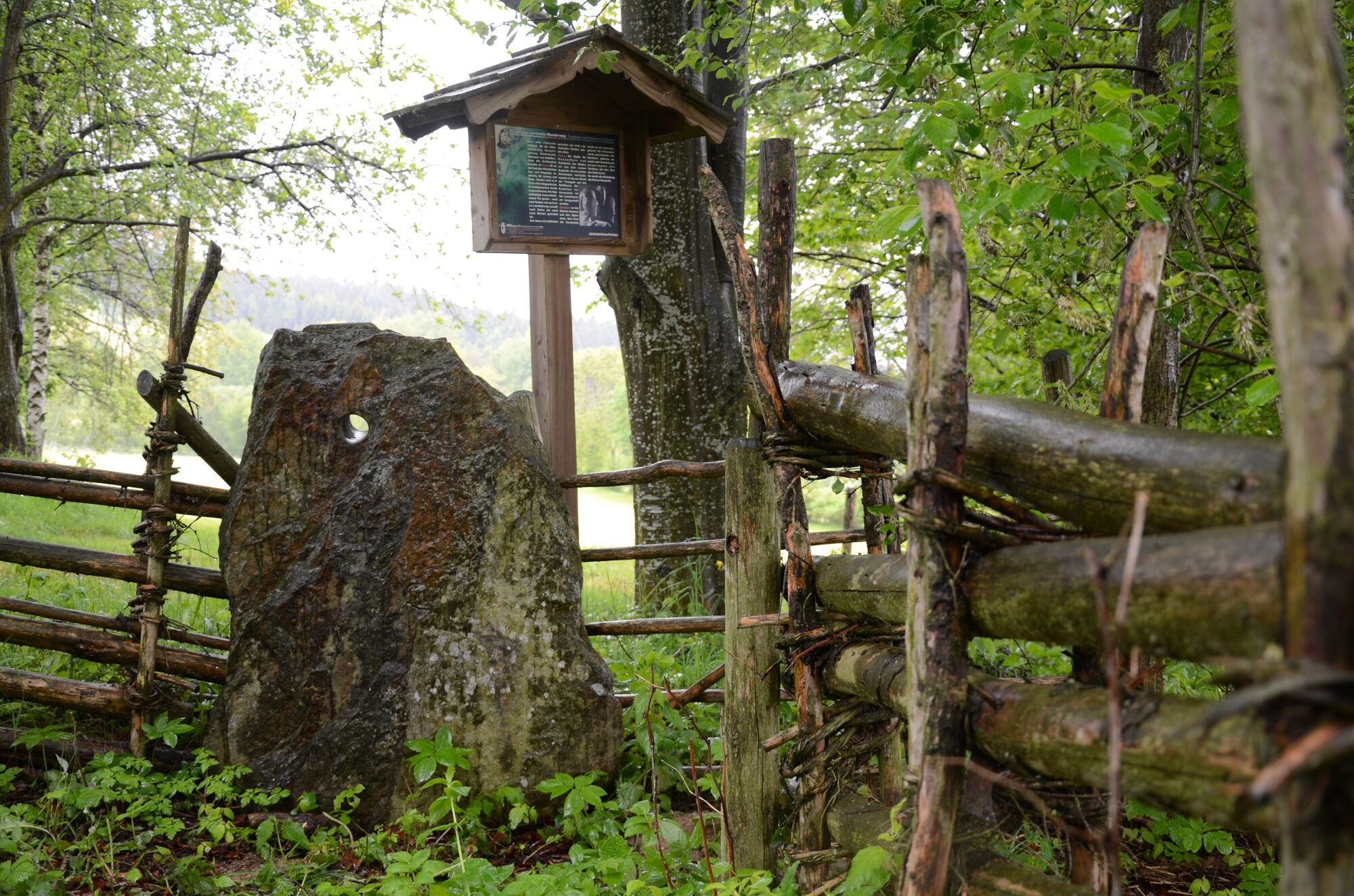
The Loch and Bildsteine as well as the wonderful view towards Zetz, Schöckl and the Sommeralm area are worth seeing.
- Évaluation
-
- Meilleure saison
-
janv.févr.marsavrilmaijuinjuil.aoûtsept.oct.nov.déc.
- Hauteur maximale
- 1.038 m
- Point de mire
-
Schawoller or Miesenbachstraße
- Profil en hauteur
-


- Auteur
-
La randonnée Lochsteinweg, Strallegg est utilisé par outdooractive.com fourni par.
GPS Downloads


Informations générales
Culturel/Historiquement
Autres parcours dans les régions
-
Hochsteiermark
4072
-
Joglland - Waldheimat
1511
-
Strallegg
331