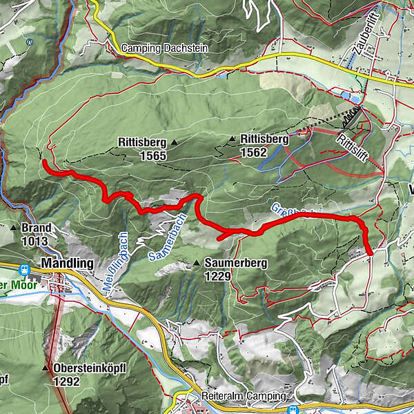
Hiking and chalet experience Halserberg-Rittisberg

Randonnée

© Schladming-Dachstein - Schladming Dachstein

© Erlebnisregion Schladming-Dachstein - Schladming Dachstein

© Erlebnisregion Schladming-Dachstein - Schladming Dachstein

© Erlebnisregion Schladming-Dachstein - Tourismusverband Ramsau am Dachstein

© Erlebnisregion Schladming-Dachstein - Gerhard Pilz
- Brève description
-
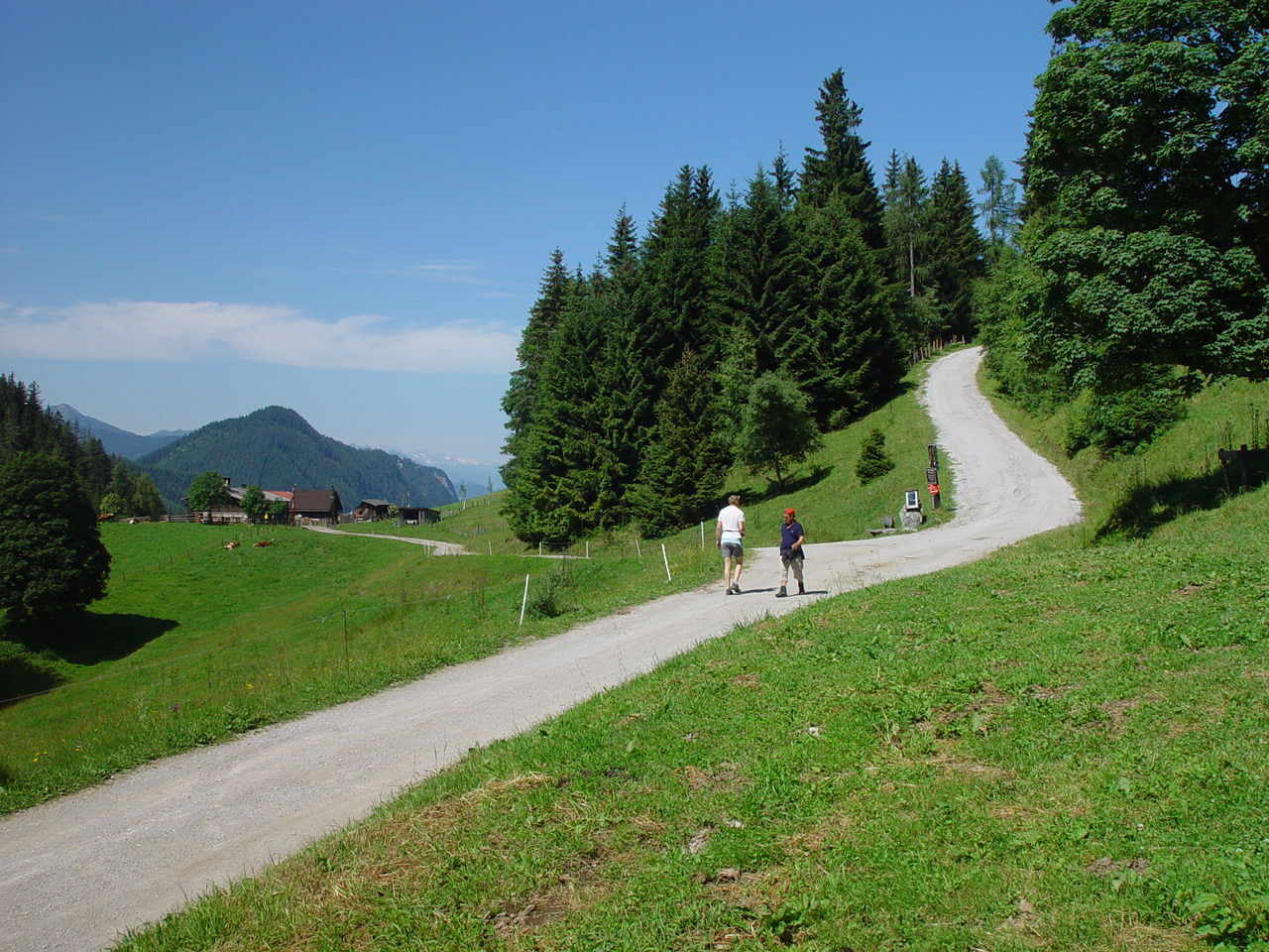
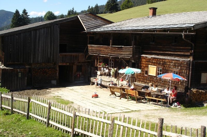
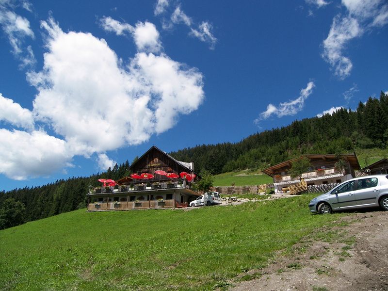
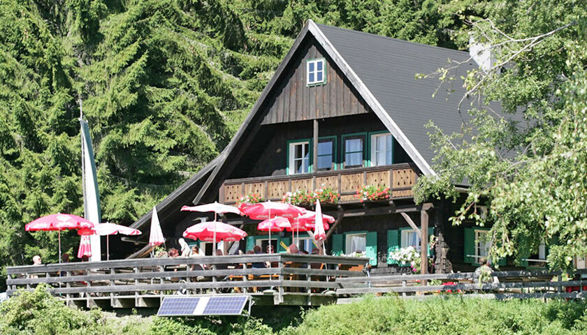
Relaxing stroll through nature, passing by cozy chalets and inns and lush green meadows.
- Difficulté
-
facile
- Évaluation
-
- Parcours
-
Halseralm2,3 km
- Meilleure saison
-
janv.févr.marsavrilmaijuinjuil.aoûtsept.oct.nov.déc.
- Hauteur maximale
- 1.291 m
- Point de mire
-
Halseralm, Sonnenalm or Ochsenalm
- Profil en hauteur
-


-

-
AuteurLa randonnée Hiking and chalet experience Halserberg-Rittisberg est utilisé par outdooractive.com fourni par.
GPS Downloads


Informations générales
Point de rassemblement
Autres parcours dans les régions
-
Schladming - Dachstein
3000
-
Ramsau am Dachstein
1688
-
Pichl
522


