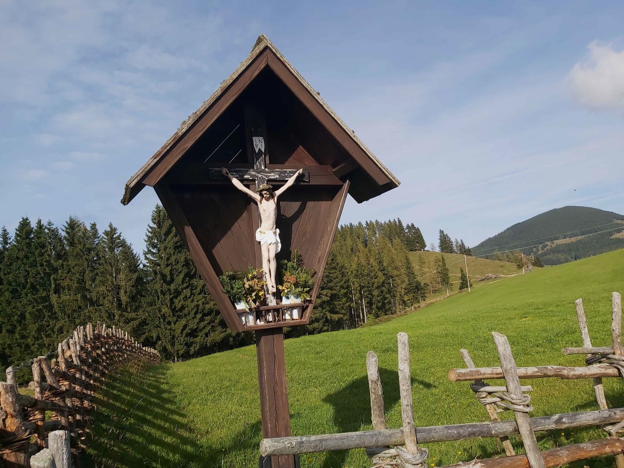
© Oststeiermark Tourismus - Chiara Raith

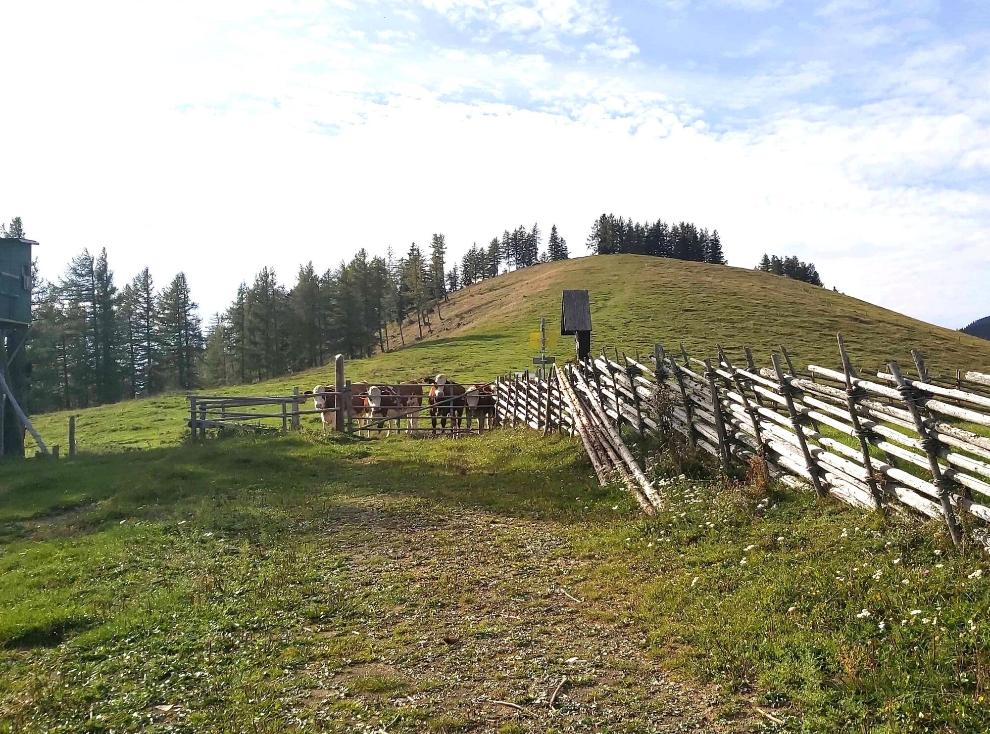
© Oststeiermark Tourismus - Christine Pollhammer

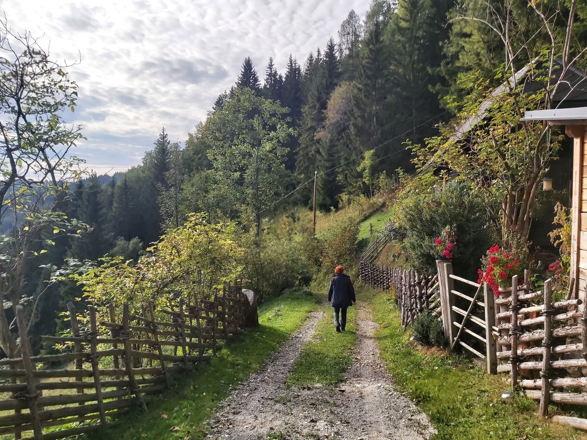
© Oststeiermark Tourismus - Christine Pollhammer

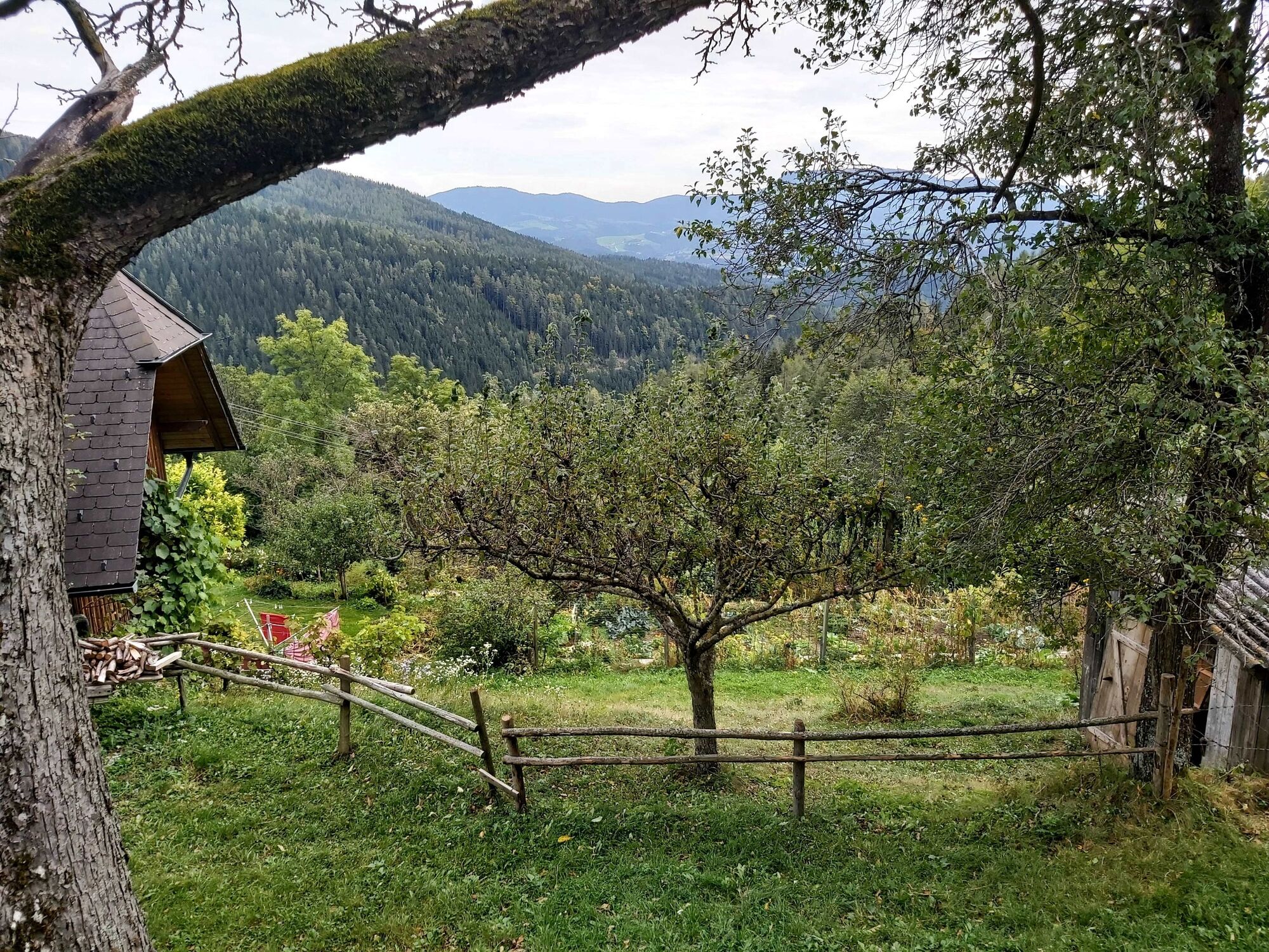
© Oststeiermark Tourismus - Christine Pollhammer

© Oststeiermark Tourismus - Christine Pollhammer

© Oststeiermark Tourismus - Christine Pollhammer

© Oststeiermark Tourismus - Christine Pollhammer

© Oststeiermark Tourismus - Christine Pollhammer

© Oststeiermark Tourismus - Christine Pollhammer

© Oststeiermark Tourismus - Christine Pollhammer
- Brève description
- Difficulté
-
moyen
- Évaluation
-
- Parcours
-
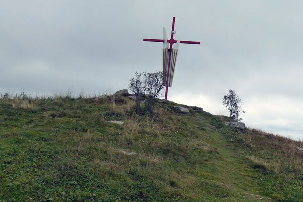
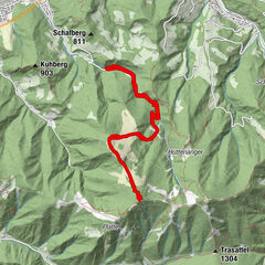
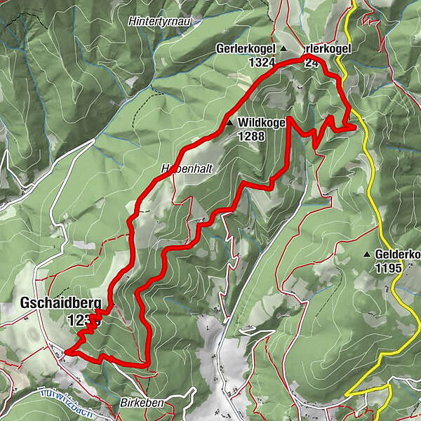
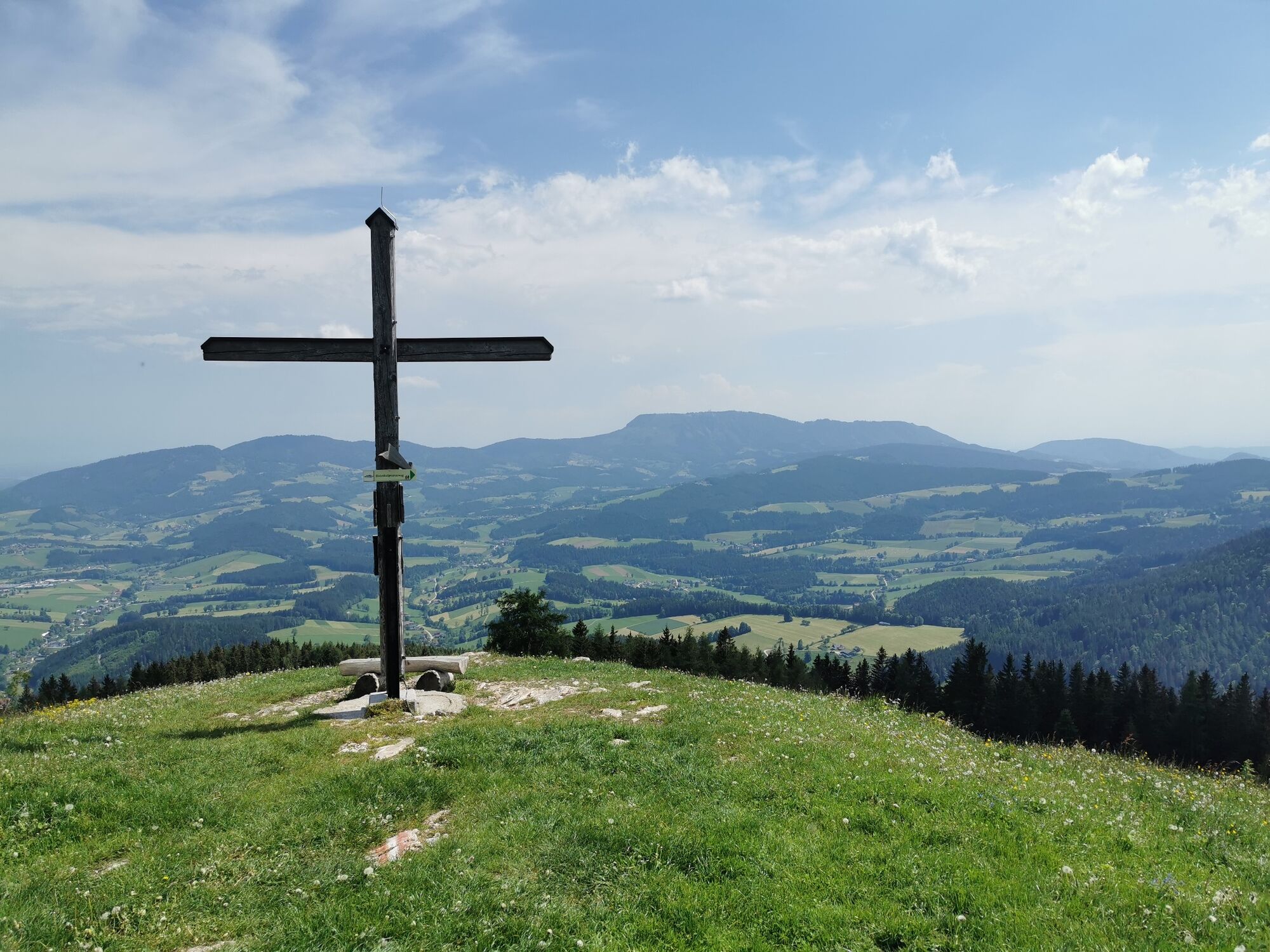
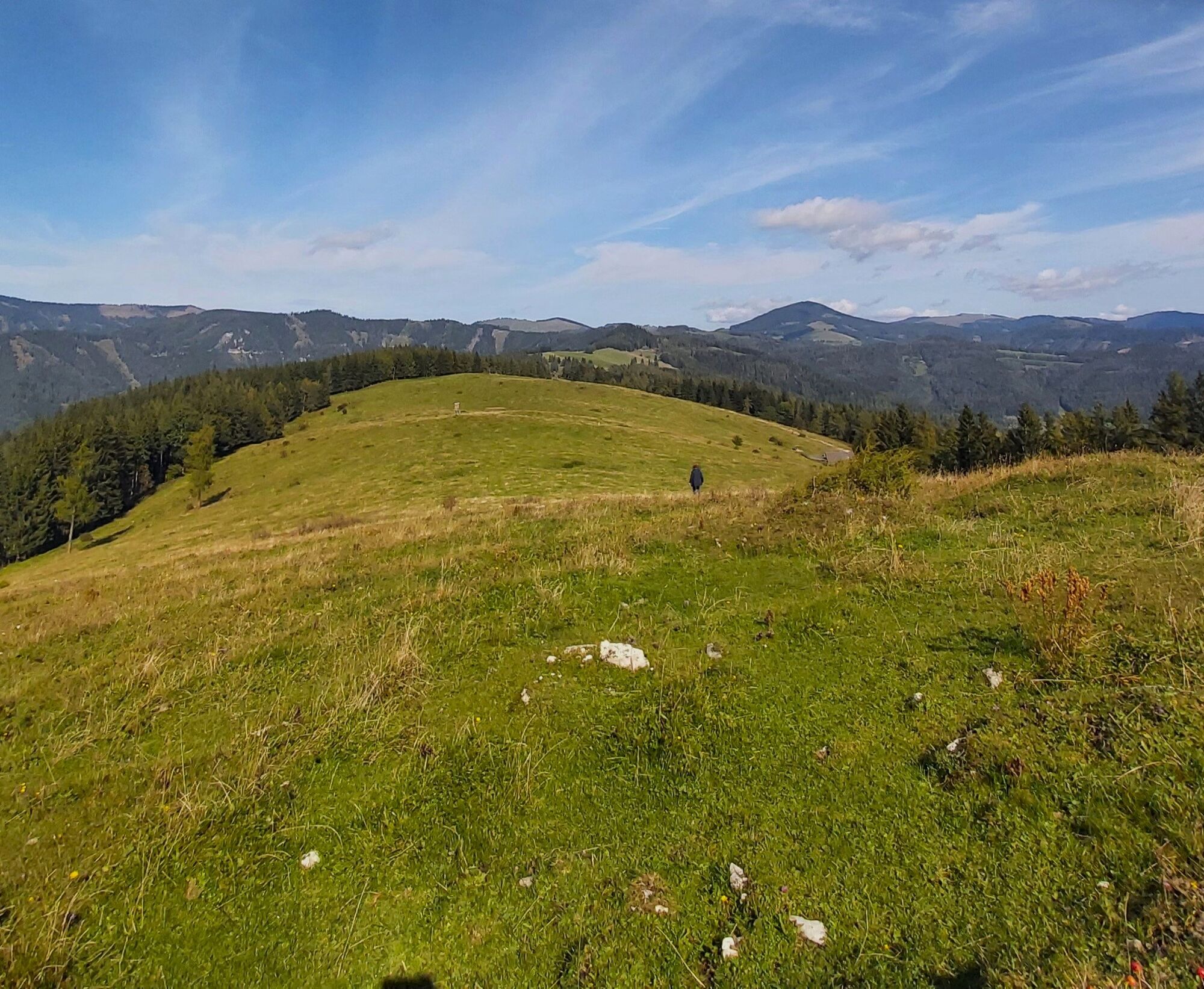
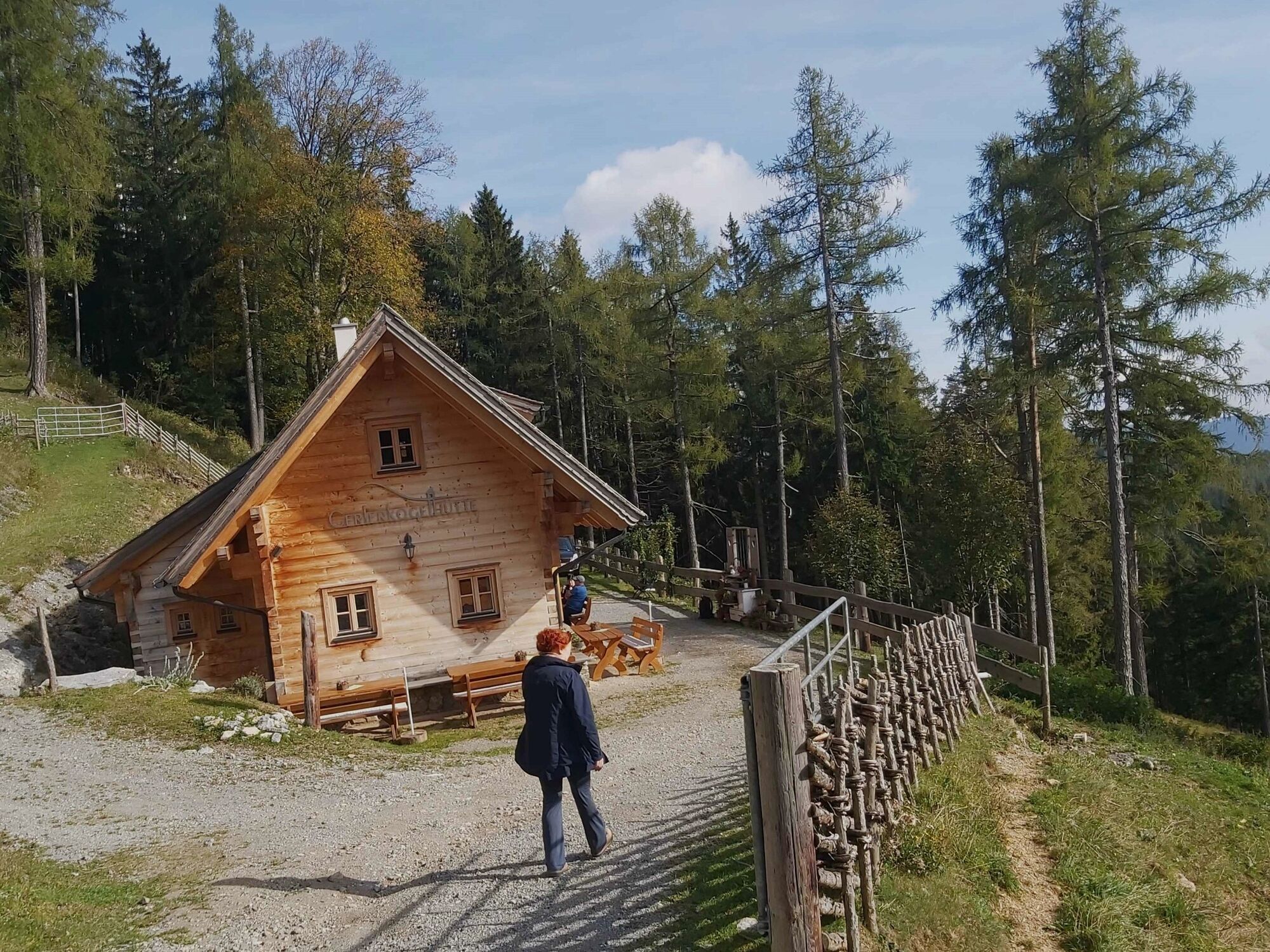
Gschaidberg (1.239 m)1,3 kmHubenhalt3,3 kmWildkogel (1.288 m)4,4 kmGerlerkogelhütte5,5 km
- Meilleure saison
-
janv.févr.marsavrilmaijuinjuil.aoûtsept.oct.nov.déc.
- Hauteur maximale
- 1.274 m
- Point de mire
-
Nechnitz, GH Haider
- Profil en hauteur
-


-

-
AuteurLa randonnée Gerler Round from the Nechnitz est utilisé par outdooractive.com fourni par.
GPS Downloads


Informations générales
Point de rassemblement
Secret
Flore
Faune
Prometteur
Autres parcours dans les régions
-
Erlebnisregion Graz
2781
-
Naturpark Almenland
1766
-
Fladnitz an der Teichalm
576