© Weges OG

© Weges OG

© Weges OG

© Weges OG

© Weges OG

© Weges OG

© Weges OG

© Weges OG

© Weges OG

© Weges OG

- Brève description
- Difficulté
-
facile
- Évaluation
-
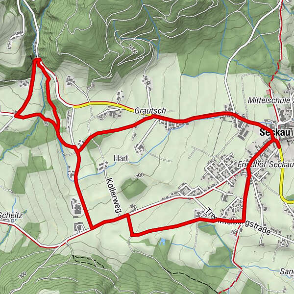
- Parcours
-
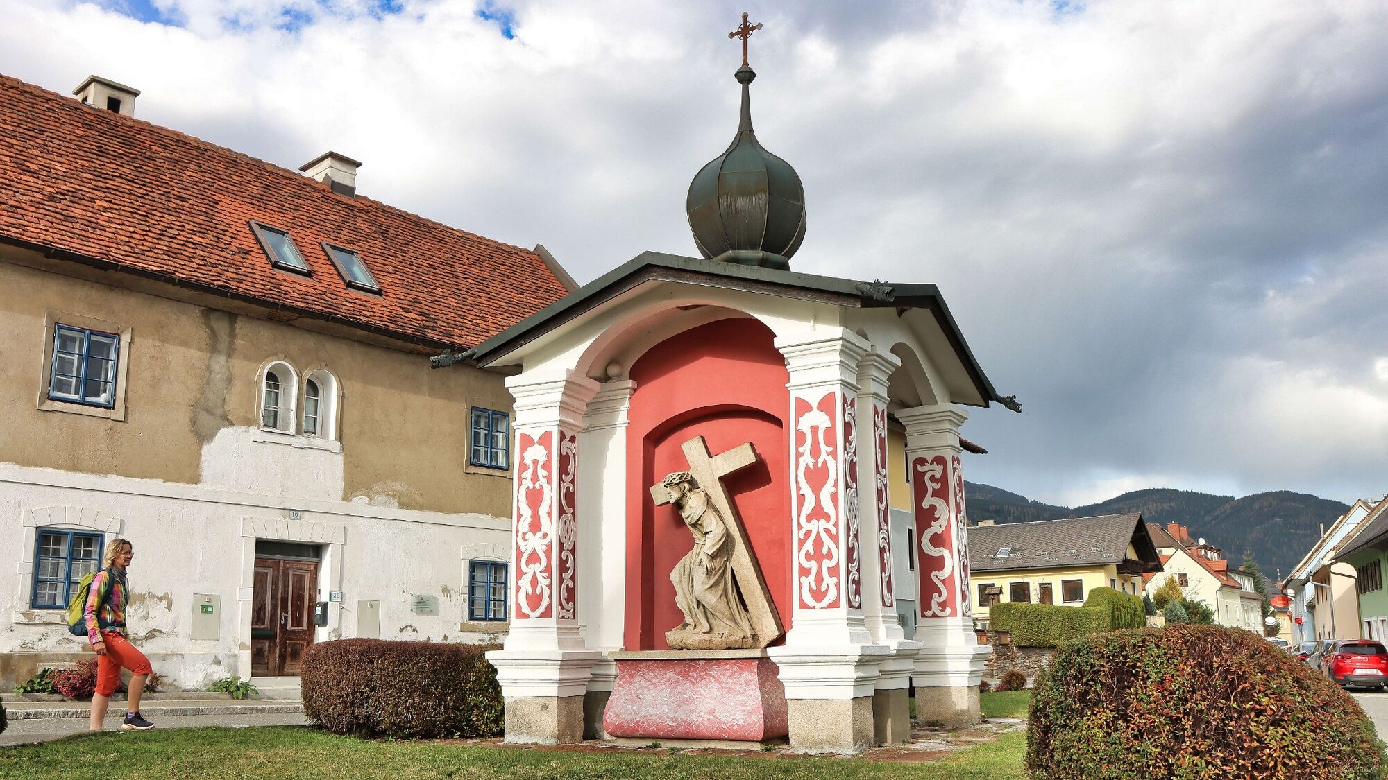
Seckau0,1 kmRestaurant Hofwirt0,1 kmGasthof Steinmühle3,0 kmSeckau7,2 kmGasthaus Puster "Zur Post"7,2 kmFriedhofskapelle7,2 kmLuciakapelle7,3 km
- Meilleure saison
-
janv.févr.marsavrilmaijuinjuil.aoûtsept.oct.nov.déc.
- Hauteur maximale
- 931 m
- Point de mire
-
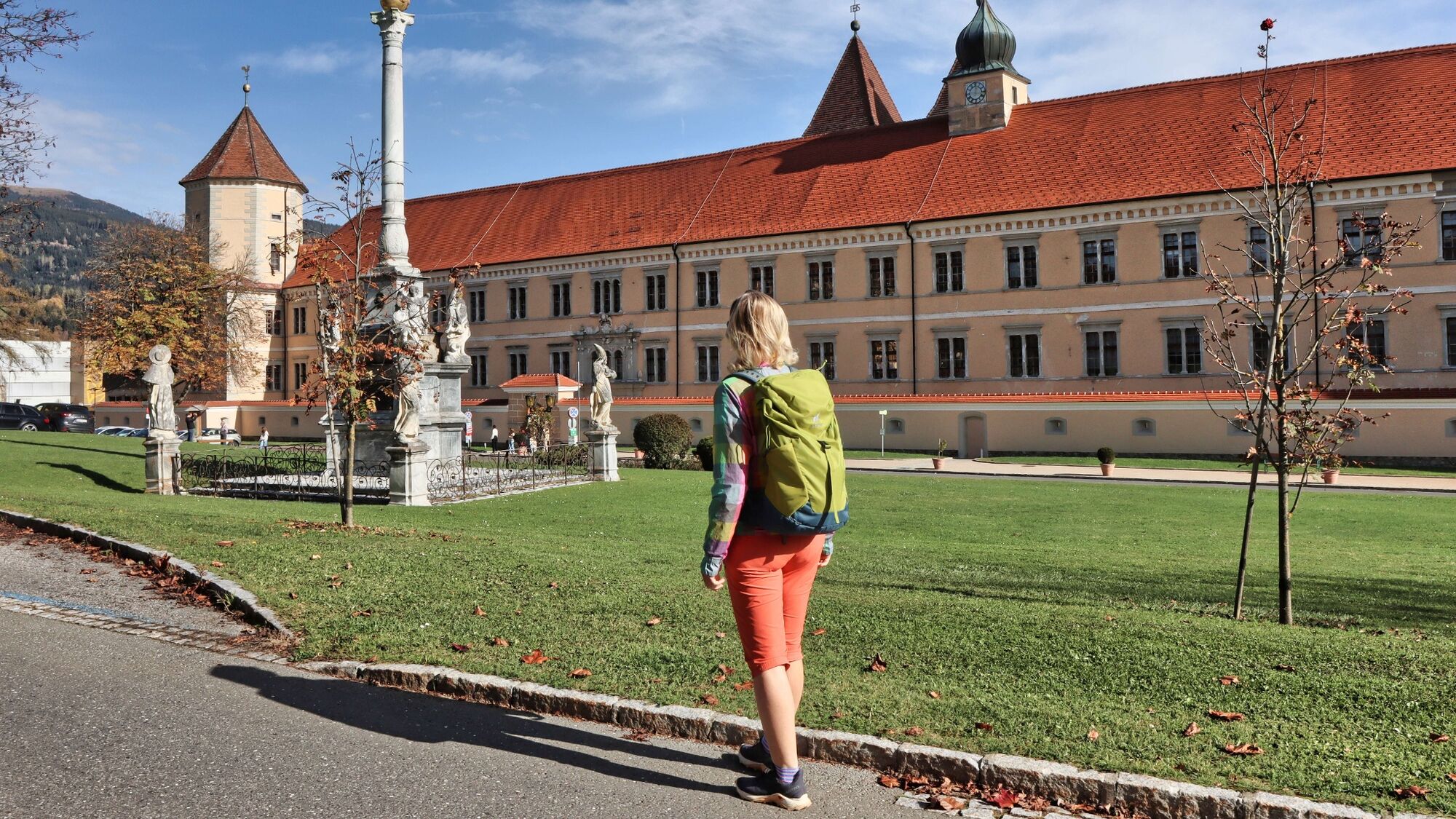
Seckau (parking lot at Adeg market)
- Profil en hauteur
-


- Auteur
-
La randonnée 28c-Seckau - Steinmühle Rundwanderweg est utilisé par outdooractive.com fourni par.
GPS Downloads


Informations générales
Point de rassemblement
Prometteur
Autres parcours dans les régions
-
Erlebnisregion Murtal
1783
-
Steirisches Zirbenland
711
-
Seckau
199