© Erlebnisregion Murtal - Wolfgang Spekner

© Erlebnisregion Murtal - Wolfgang Spekner

© Erlebnisregion Murtal - Wolfgang Spekner

© Erlebnisregion Murtal - Wolfgang Spekner

© Erlebnisregion Murtal - Anna-Maria Müllner

© Erlebnisregion Murtal - Wolfgang Spekner

© Erlebnisregion Murtal - Wolfgang Spekner

© Erlebnisregion Murtal - Wolfgang Spekner

© Erlebnisregion Murtal - Wolfgang Spekner

© Erlebnisregion Murtal - Wolfgang Spekner

- Brève description
-
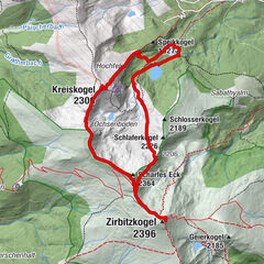
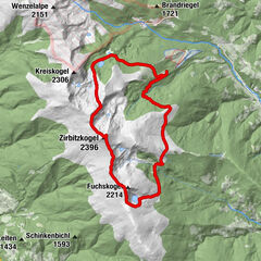
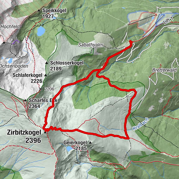
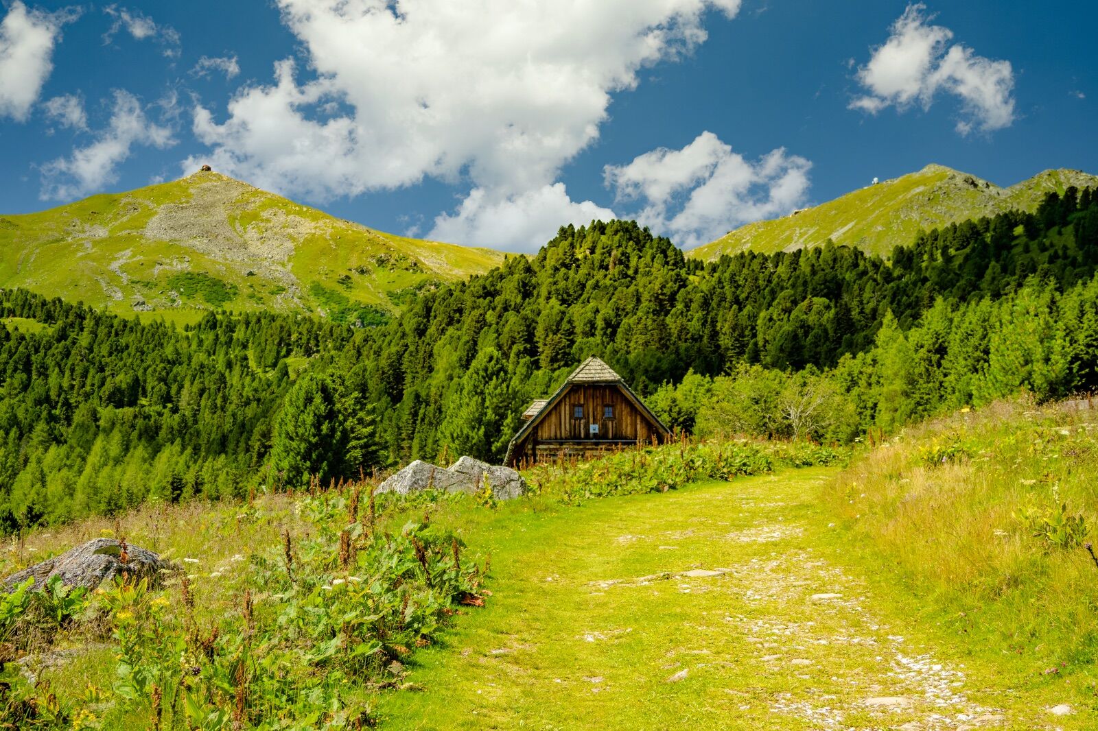
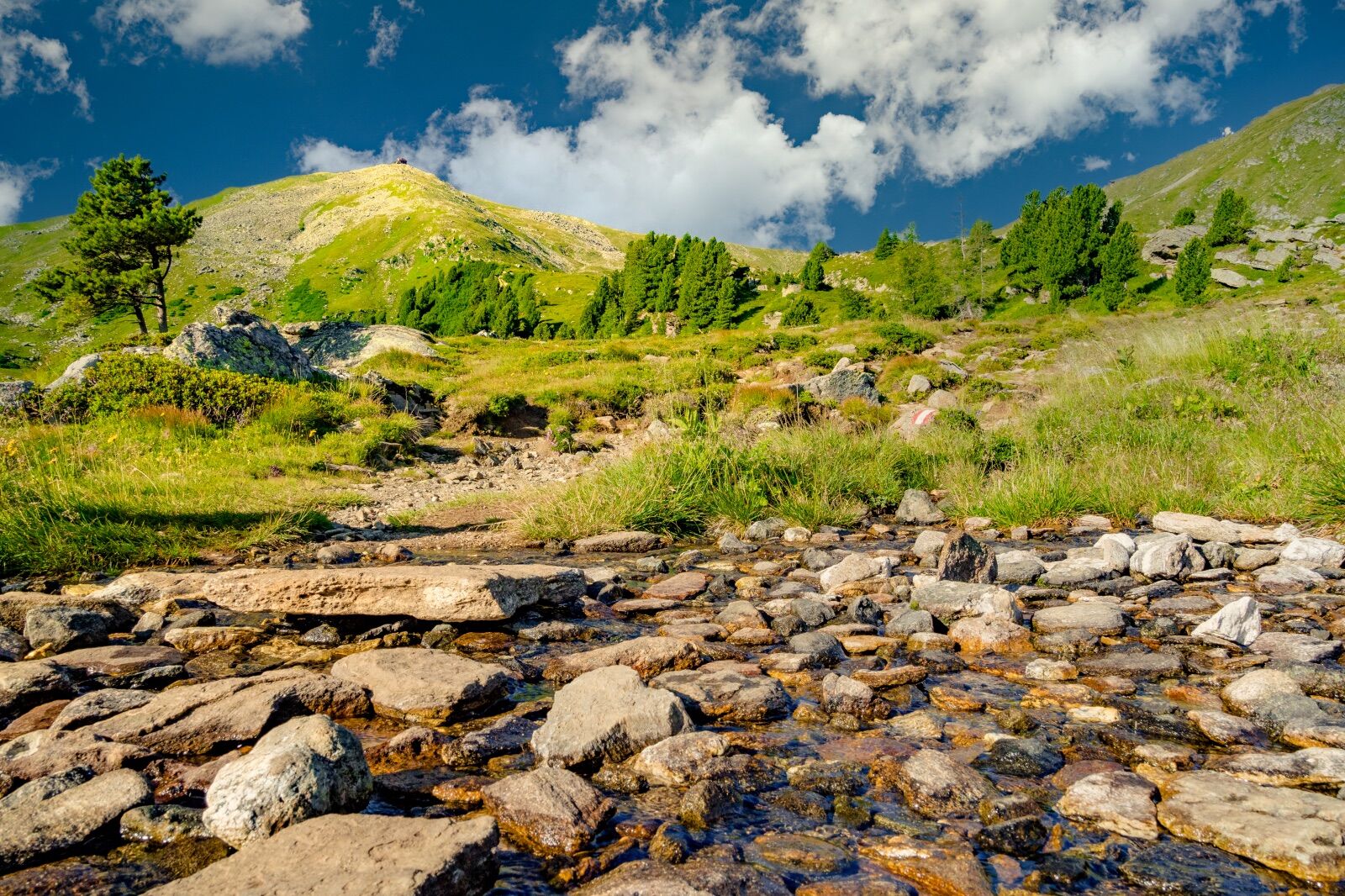
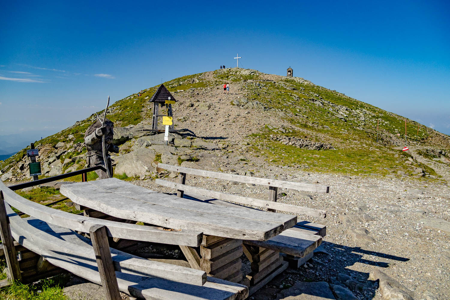
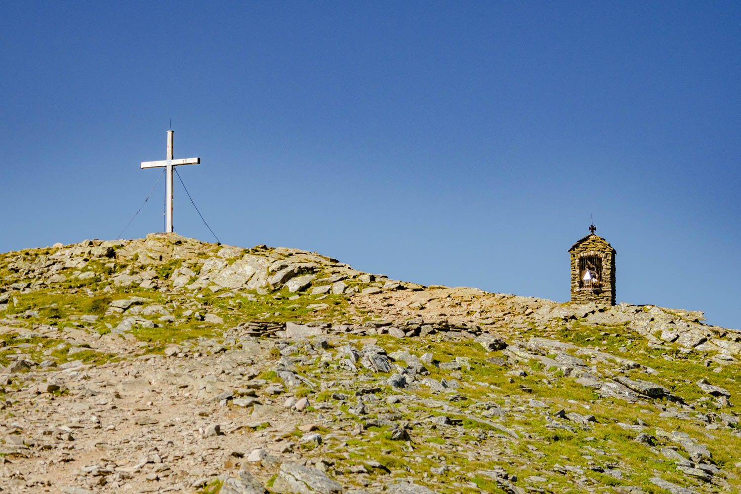
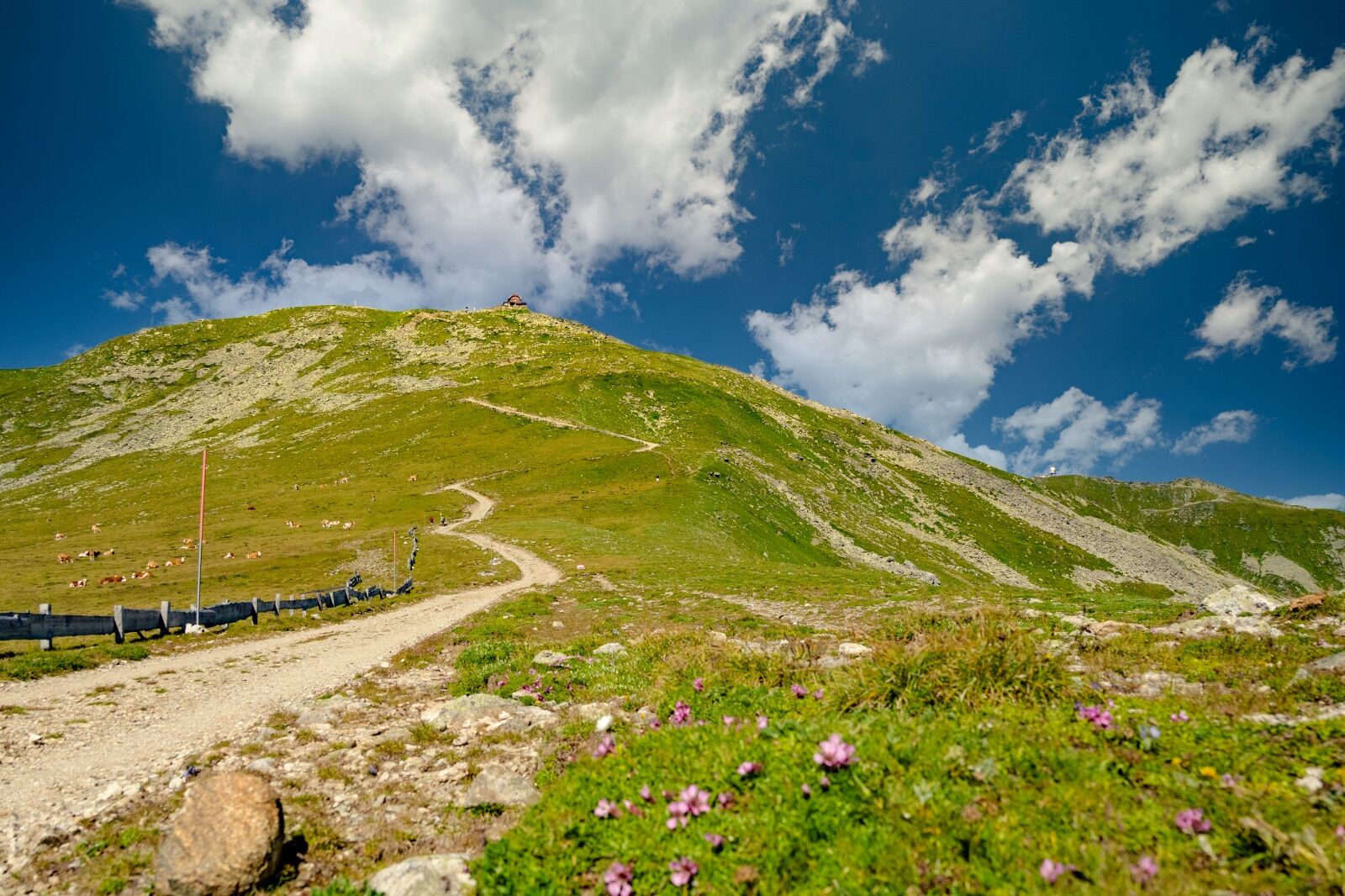
From the alpine idyll Sabathy near St. Wolfgang you hike in a beautiful round via the Linderhütte and the Lindersee to the Zirbitzkogel. The way back is via the Rothaidenhütte.
- Difficulté
-
difficile
- Évaluation
-
- Parcours
-
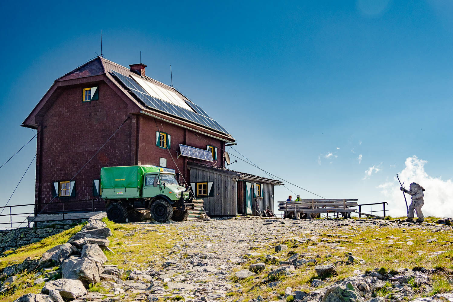
Zirbitzkogel (2.396 m)4,4 kmZirbitzkogel Schutzhaus4,4 kmRothaidenhütte8,0 kmAlpengasthof Sabathy11,8 km
- Meilleure saison
-
janv.févr.marsavrilmaijuinjuil.aoûtsept.oct.nov.déc.
- Hauteur maximale
- 2.371 m
- Point de mire
-
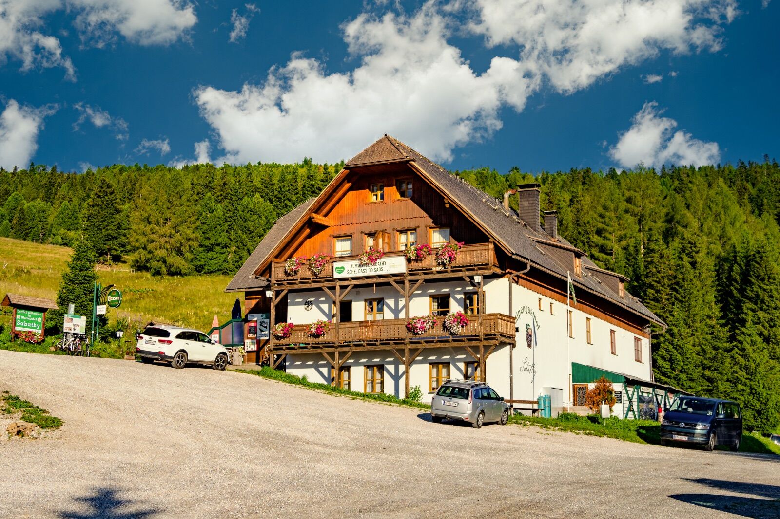
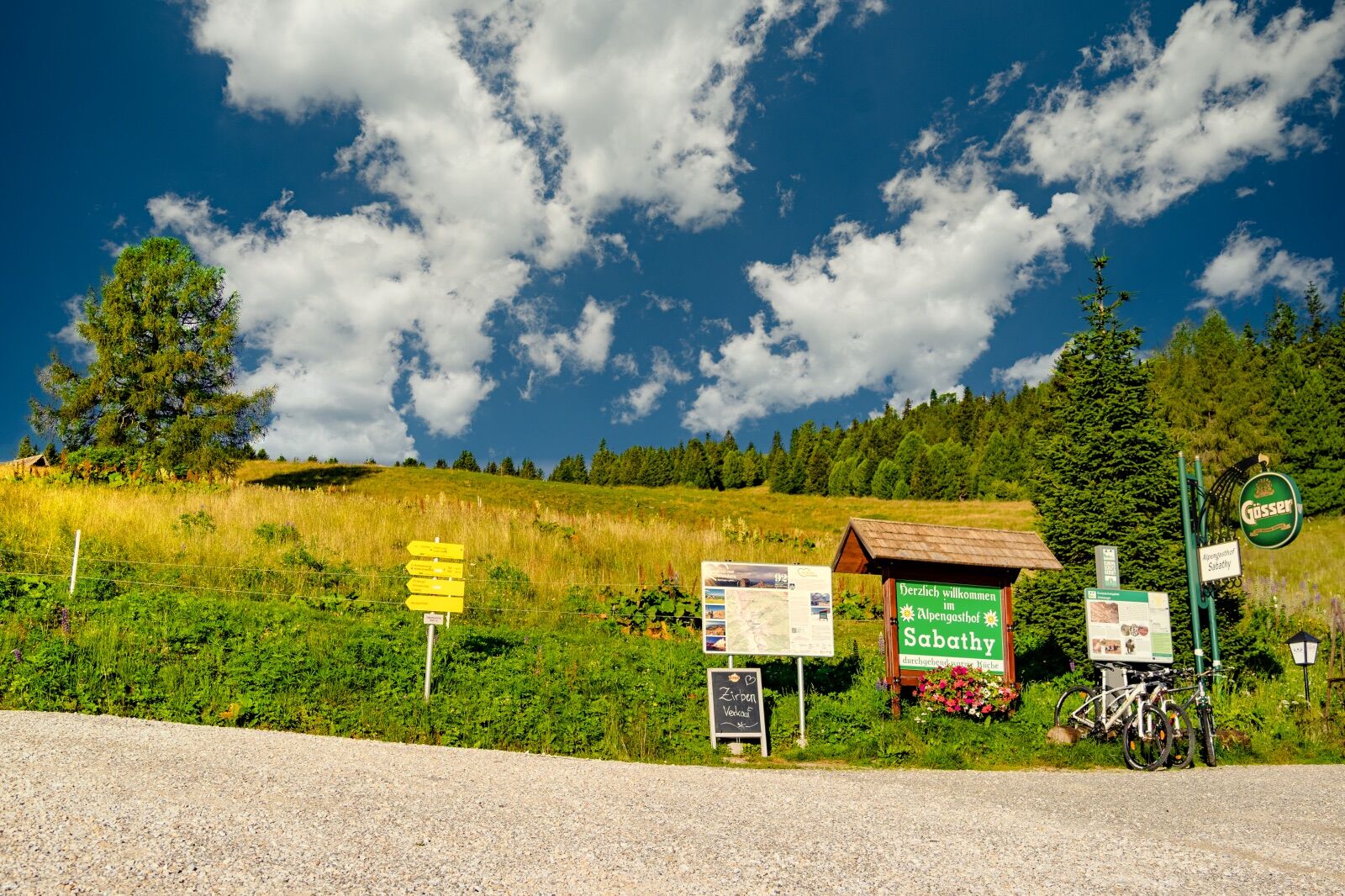
Almidylle Sabathy
- Profil en hauteur
-


- Auteur
-
La randonnée Zirbitzkogel via Lindersee est utilisé par outdooractive.com fourni par.
GPS Downloads


Informations générales
Point de rassemblement
Prometteur
Autres parcours dans les régions
-
Erlebnisregion Murtal
1781
-
Steirisches Zirbenland
711
-
Mühlen
222