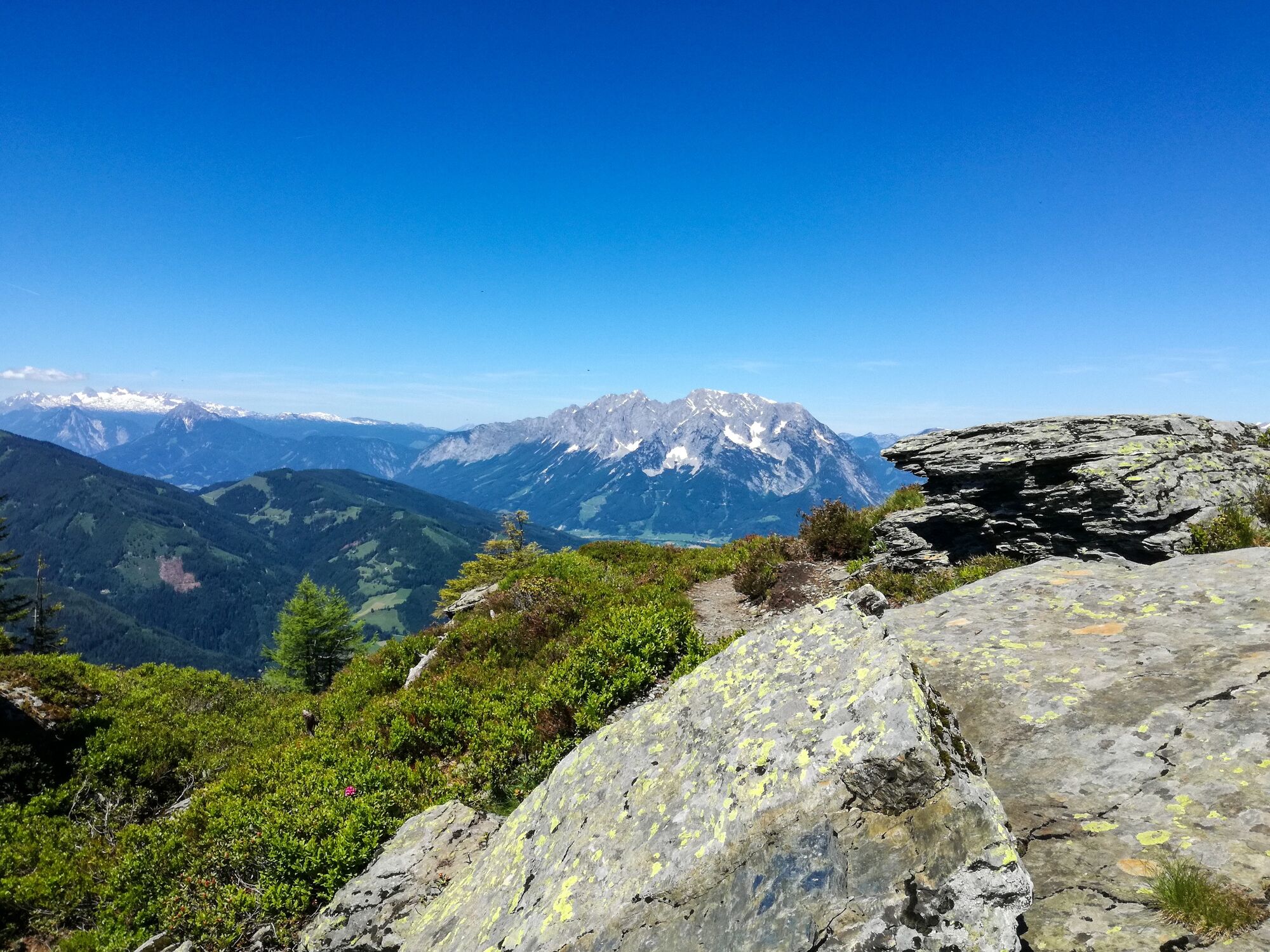
© Hannes Peer - Schladming Dachstein


- Brève description
-
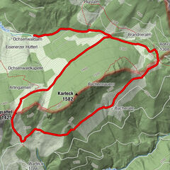
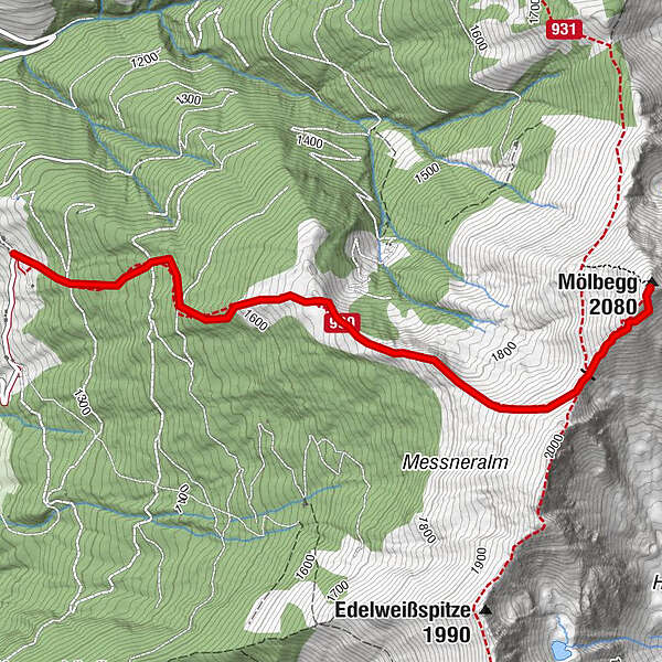
The way leads from the highest situated house in Donnersbach along a forest walk to the timberline. It goes on across the ridge to the two summits.
- Difficulté
-
moyen
- Évaluation
-
- Parcours
-
Mölbegg (2.080 m)3,3 km
- Meilleure saison
-
janv.févr.marsavrilmaijuinjuil.aoûtsept.oct.nov.déc.
- Hauteur maximale
- 2.071 m
- Point de mire
-
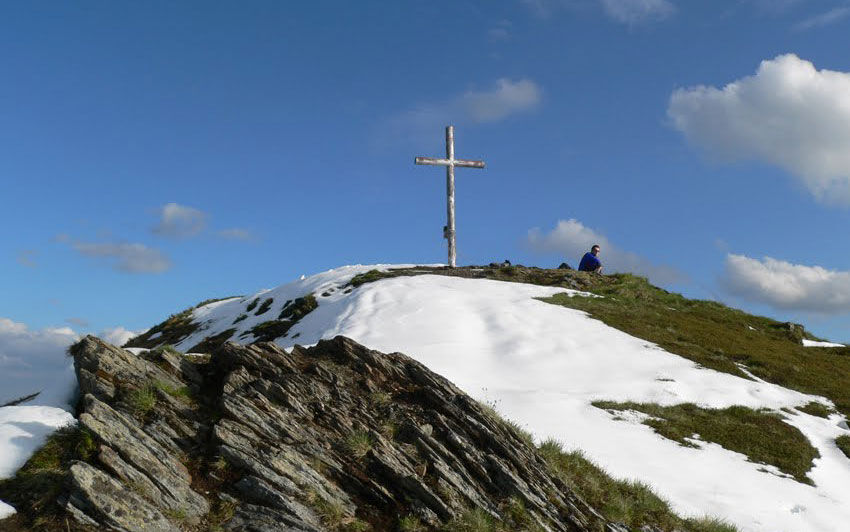
Summit Mölbegg and back to the farm Hochbär
- Profil en hauteur
-


- Auteur
-
La randonnée Mölbegg est utilisé par outdooractive.com fourni par.
GPS Downloads


Informations générales
Flore
Faune
Prometteur
Autres parcours dans les régions