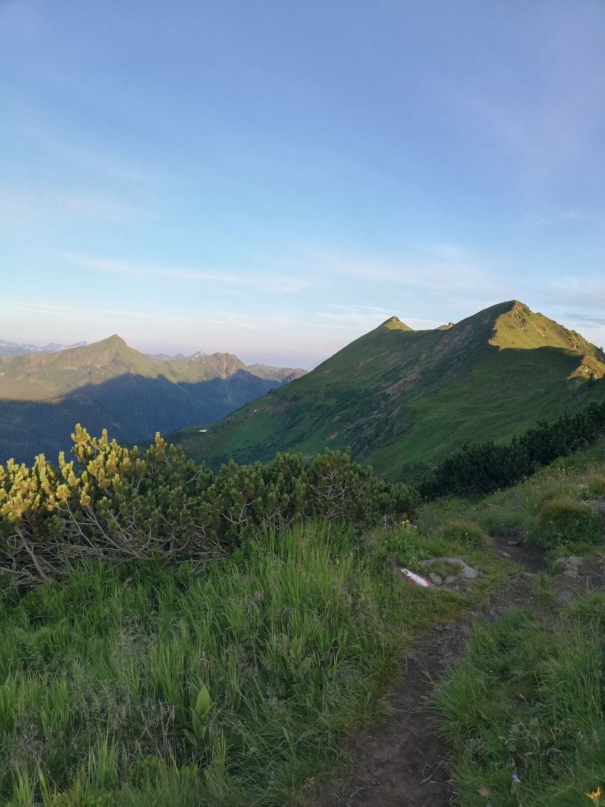
Via Plannersee and Plannerknot to the Hochrettelstein

Randonnée


- Brève description
-
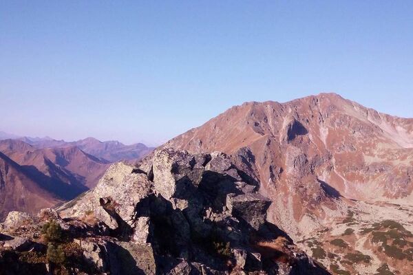
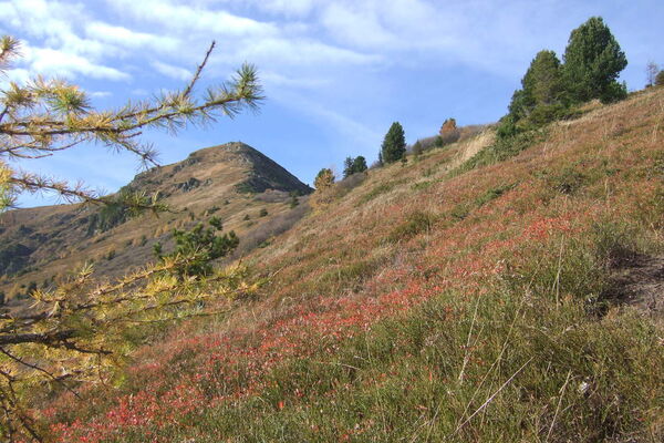
Impressive half-day tour in the highest mountain village of Styria.
- Difficulté
-
moyen
- Évaluation
-
- Parcours
-
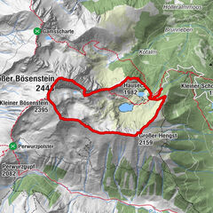
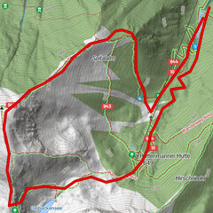
Bergrettungshütte0,0 kmHochrettelstein (2.220 m)3,7 kmBergrettungshütte7,3 km
- Meilleure saison
-
janv.févr.marsavrilmaijuinjuil.aoûtsept.oct.nov.déc.
- Hauteur maximale
- 2.199 m
- Point de mire
-
Planneralm
- Profil en hauteur
-


-

-
AuteurLa randonnée Via Plannersee and Plannerknot to the Hochrettelstein est utilisé par outdooractive.com fourni par.
GPS Downloads


Informations générales
Flore
Prometteur
Autres parcours dans les régions