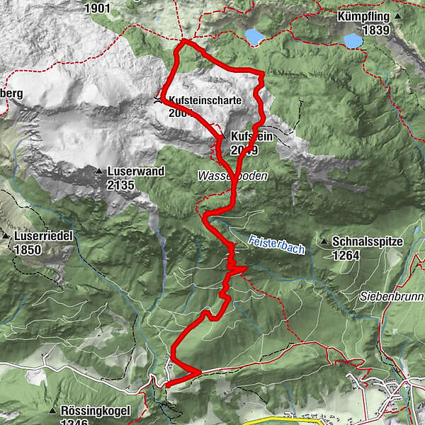
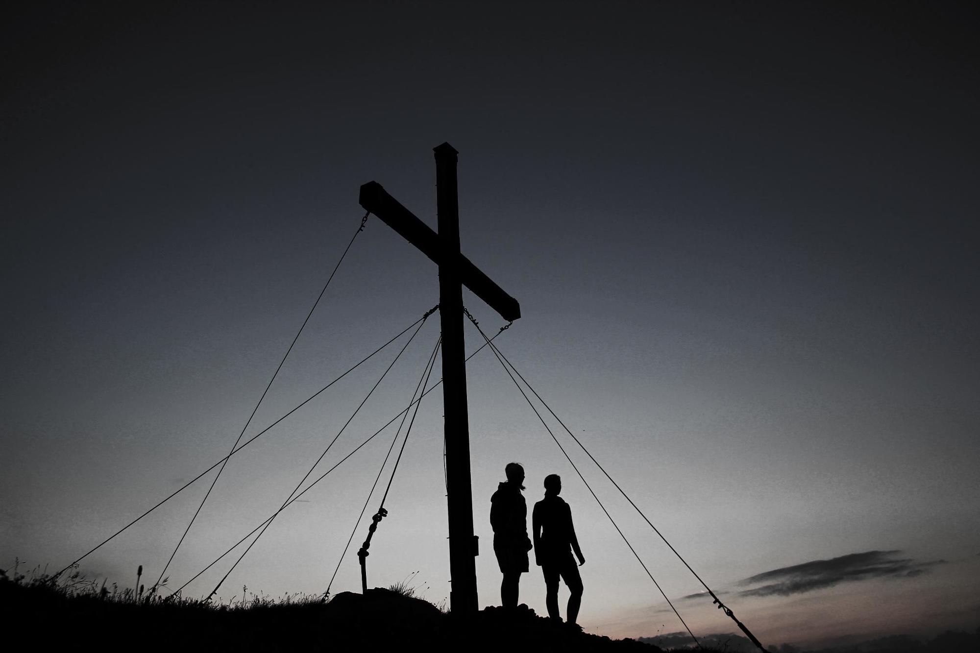
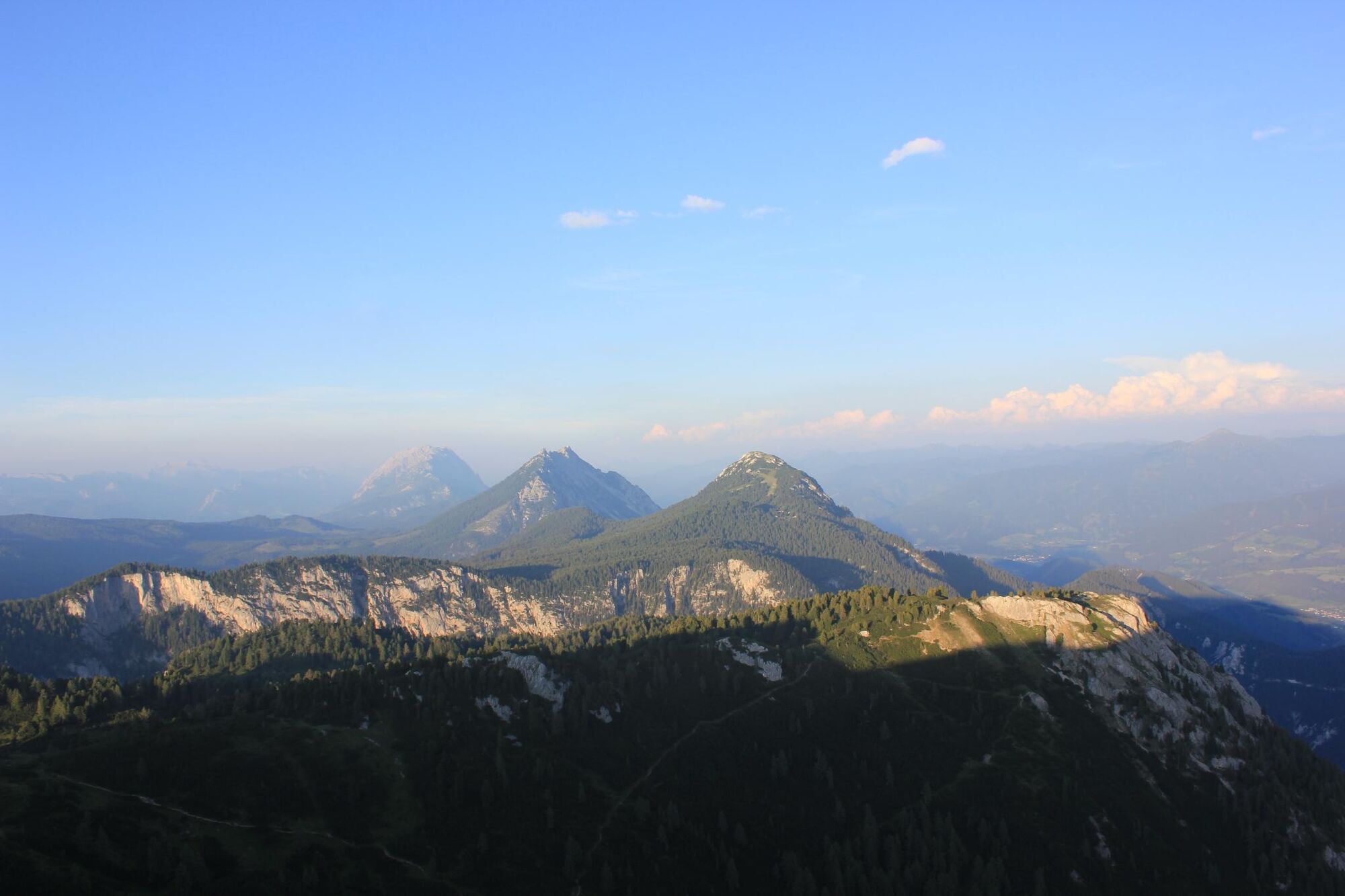
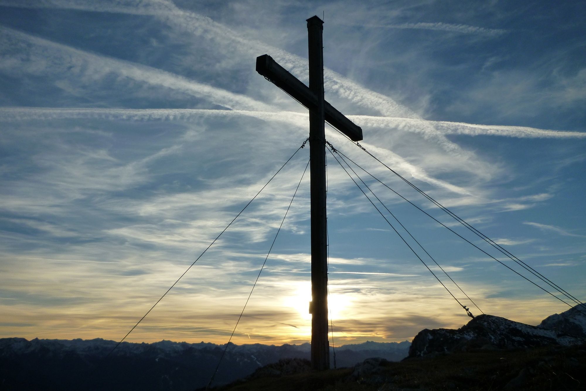
The Kufstein Summit Tour - high above the land "Am Stein"

Randonnée

© Erlebnisregion Schladming-Dachstein - Schladming Dachstein

© Erlebnisregion Schladming-Dachstein - Schladming Dachstein

© Erlebnisregion Schladming-Dachstein - Schladming Dachstein

© Erlebnisregion Schladming-Dachstein - Schladming Dachstein
Dates des itinéraires
14,27km
971
- 2.022m
1.178hm
1.192hm
07:15h
- Brève description
-
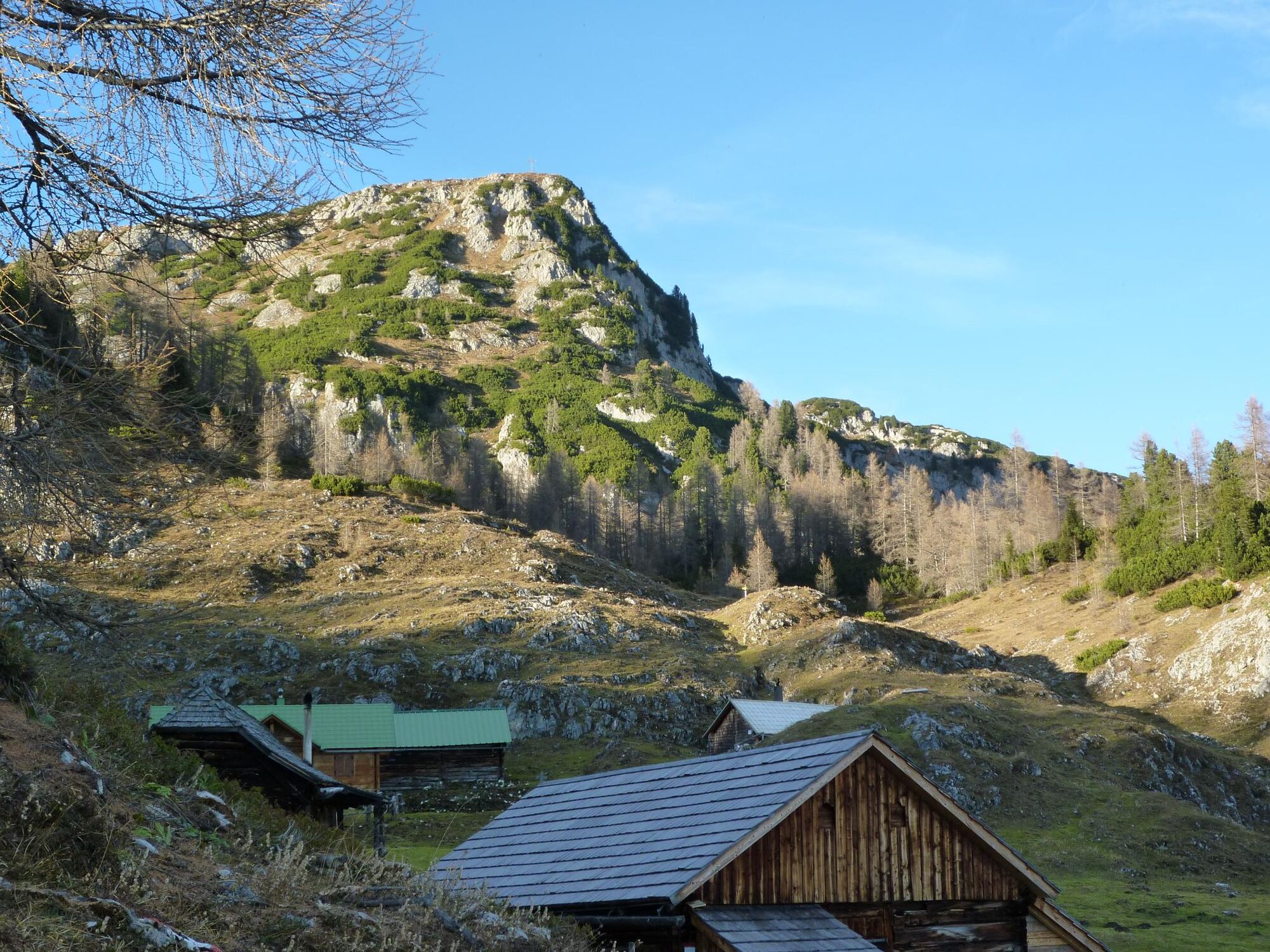
Across the Stornalm to the top of the magnificent, scenic Kufstein, a true delight for well-conditioned mountain hikers – as is the hiking loop over the Grafenbergalm, a delightful route teeming with flowers!
- Difficulté
-
difficile
- Évaluation
-
- Parcours
-
Stornalm4,3 kmWasserbode4,6 kmKufstein (2.049 m)5,3 kmKufsteinscharte (2.004 m)6,1 kmGrafenbergalm6,9 kmWasserbode9,6 kmStornalm9,9 km
- Meilleure saison
-
janv.févr.marsavrilmaijuinjuil.aoûtsept.oct.nov.déc.
- Hauteur maximale
- 2.022 m
- Point de mire
-
Kufstein summit
- Profil en hauteur
-

-

-
AuteurLa randonnée The Kufstein Summit Tour - high above the land "Am Stein" est utilisé par outdooractive.com fourni par.
GPS Downloads


Informations générales
Point de rassemblement
Flore
Faune
Prometteur
Autres parcours dans les régions
-
Schladming - Dachstein
2999
-
Haus - Aich
1364
-
Haus im Ennstal
367


