Summit Tour to the Emblem of the Planneralm - the Schoberspitz

Randonnée

© Erlebnisregion Schladming-Dachstein - Barbara Luidold

© Erlebnisregion Schladming-Dachstein - Barbara Luidold

© Erlebnisregion Schladming-Dachstein - Barbara Luidold

- Brève description
-
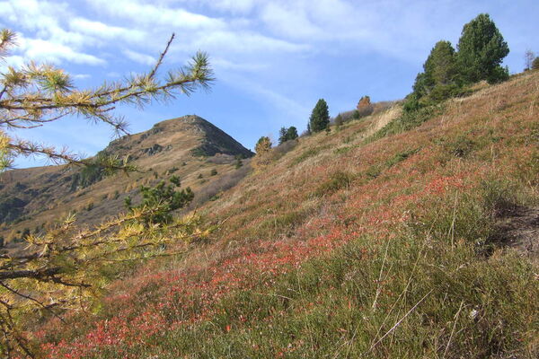
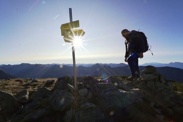
Beautiful, non-difficult summit tour over the Karlspitze to the elegant Schoberspitz.
- Difficulté
-
moyen
- Évaluation
-
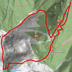
- Parcours
-
Karlspitze (2.097 m)2,9 kmKarlscharte3,3 kmSchoberspitze (2.126 m)4,2 kmKarlspitze (2.097 m)5,5 km
- Meilleure saison
-
janv.févr.marsavrilmaijuinjuil.aoûtsept.oct.nov.déc.
- Hauteur maximale
- 2.110 m
- Point de mire
-
Parkplace Planneralm-at the lift terminal
- Profil en hauteur
-


- Auteur
-
La randonnée Summit Tour to the Emblem of the Planneralm - the Schoberspitz est utilisé par outdooractive.com fourni par.
GPS Downloads


Informations générales
Point de rassemblement
Flore
Faune
Prometteur
Autres parcours dans les régions