

© TV Gesäuse - Christian Scheucher

© TV Gesäuse - Christian Scheucher

© TV Gesäuse - Stefan Leitner

© Tourismusverband Gesäuse


- Brève description
-
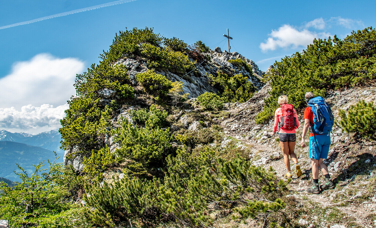
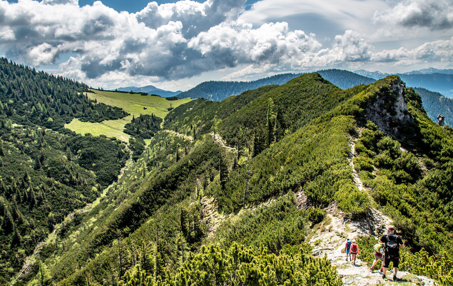
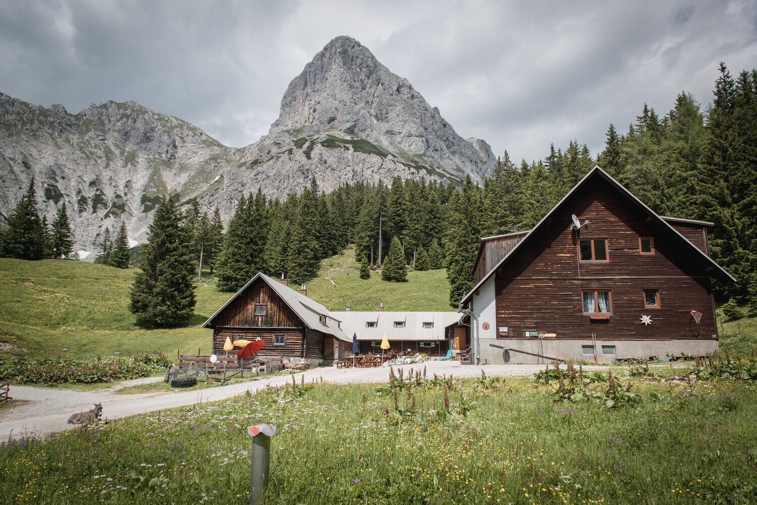
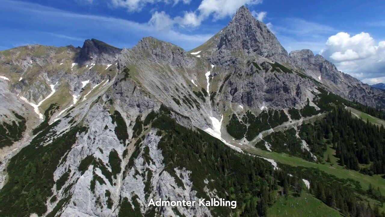
Hike from Admont over the Hahnstein to the Klinkehütte at the foot of the Admonter Kalbling.
- Difficulté
-
moyen
- Évaluation
-
- Parcours
-
Kematen0,1 kmKematengraben1,0 kmSteinerner Wirt3,0 kmHahnstein (1.697 m)4,9 kmOberst Klinke Hütte9,4 kmSieglalm11,8 kmKematen15,9 km
- Meilleure saison
-
janv.févr.marsavrilmaijuinjuil.aoûtsept.oct.nov.déc.
- Hauteur maximale
- 1.682 m
- Point de mire
-
Admont
- Profil en hauteur
-

- Auteur
-
La randonnée Admont -Hahnstein- Klinkehütte est utilisé par outdooractive.com fourni par.
GPS Downloads


Informations générales
Point de rassemblement
Flore
Prometteur
Autres parcours dans les régions
-
Gesäuse
2224
-
Urlaubsregion Pyhrn - Priel
1440
-
Kaiserau
293


