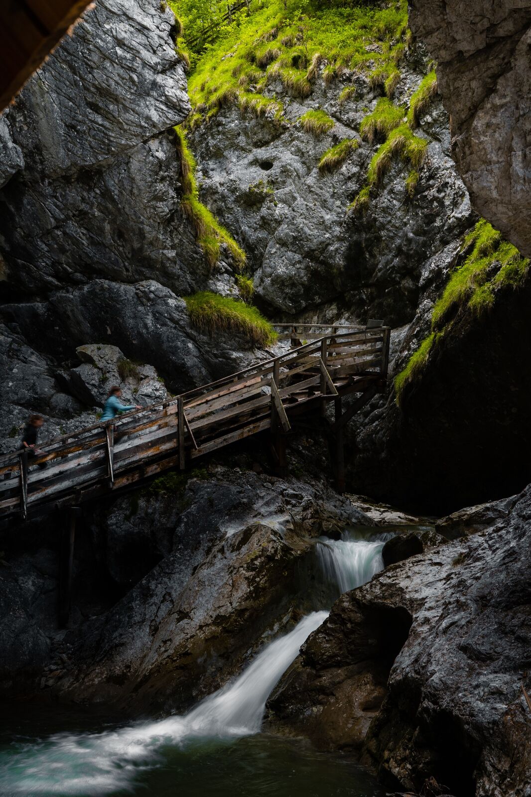
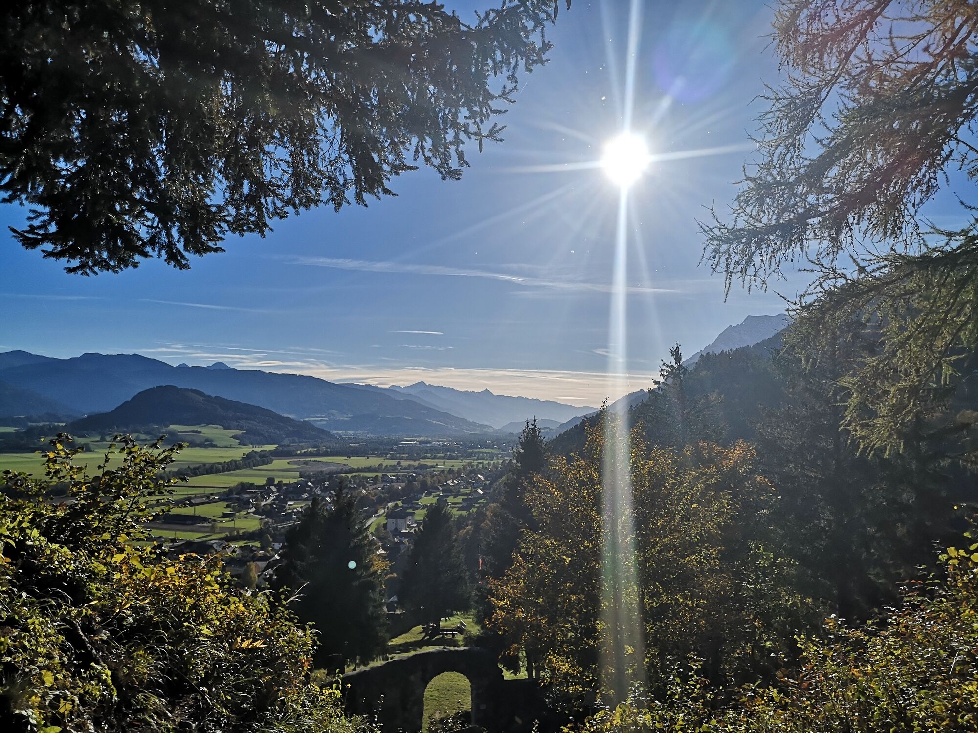
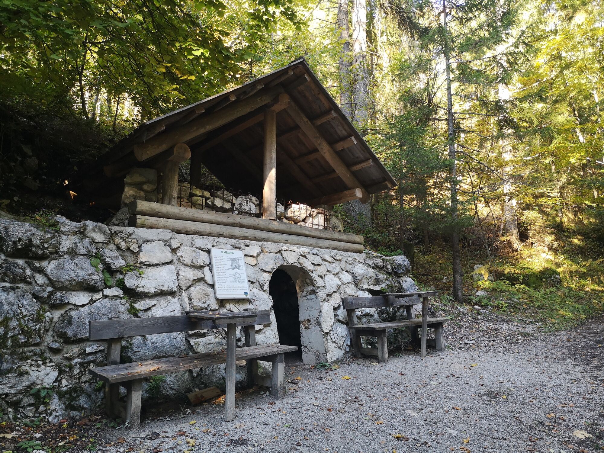
Hike through the Wörschachklamm gorge to the Wolkenstein castle ruins

Randonnée

© Erlebnisregion Schladming-Dachstein - Armin Walcher

© Erlebnisregion Schladming-Dachstein - Christoph Lukas

© Erlebnisregion Schladming-Dachstein - Christoph Lukas

© Erlebnisregion Schladming-Dachstein - Tanja Kerschbaumer

© Erlebnisregion Schladming-Dachstein - Tanja Kerschbaumer

© Erlebnisregion Schladming-Dachstein - Tanja Kerschbaumer

- Brève description
-
A varied hike with thundering water, historic walls and animal acquaintances. This tour should be on your to-do list!
- Difficulté
-
facile
- Évaluation
-
- Parcours
-
WörschachKlammstüberl0,4 kmEselhütte3,4 kmWörschach3,8 km
- Meilleure saison
-
janv.févr.marsavrilmaijuinjuil.aoûtsept.oct.nov.déc.
- Hauteur maximale
- 904 m
- Point de mire
-
Parking Wörschachklamm
- Profil en hauteur
-


- Auteur
-
La randonnée Hike through the Wörschachklamm gorge to the Wolkenstein castle ruins est utilisé par outdooractive.com fourni par.
GPS Downloads


Informations générales
Point de rassemblement
Culturel/Historiquement
Flore
Faune
Prometteur
Autres parcours dans les régions


