
© Tourismusverband Schladming - Schladming Dachstein
© Erlebnisregion Schladming-Dachstein - Tourismusverband Schladming
© Erlebnisregion Schladming-Dachstein - Schladming Dachstein
© Gerhard Pilz - www.gpic.at - Gerhard Pilz
© Gerhard Pilz

© Herbert Raffalt
© Erlebnisregion Schladming-Dachstein - Schladming Dachstein

© Erlebnisregion Schladming-Dachstein - Herbert Raffalt
© Erlebnisregion Schladming-Dachstein - Schladming Dachstein

© Tourismusverband Schladming - Gerhard Pilz - Gerhard Pilz

- Brève description
-
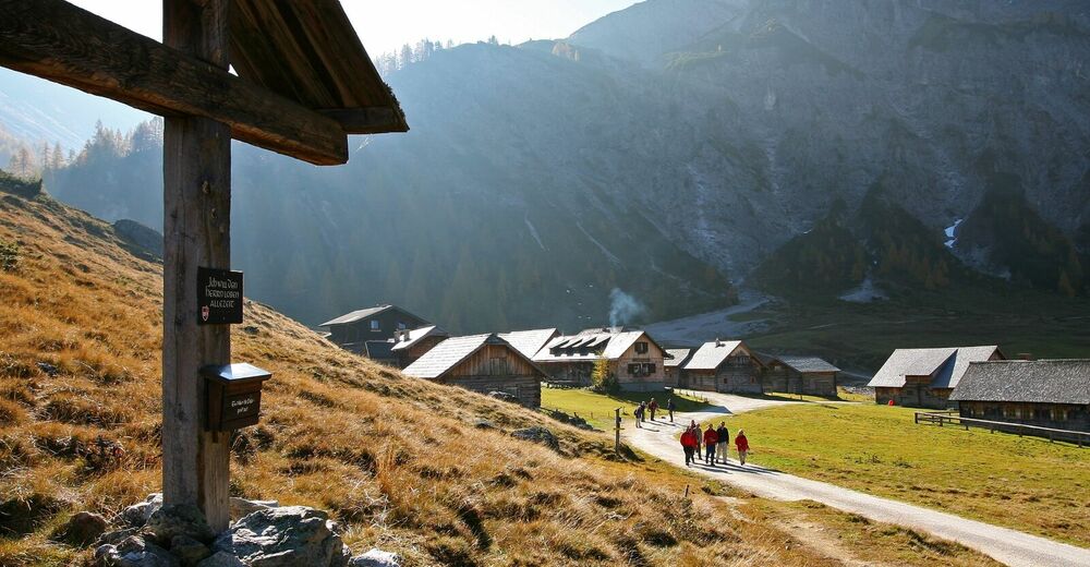
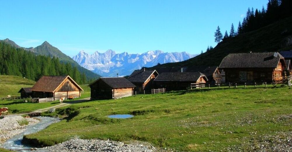
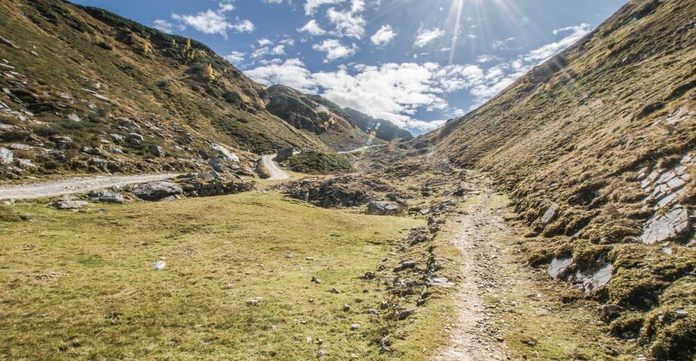
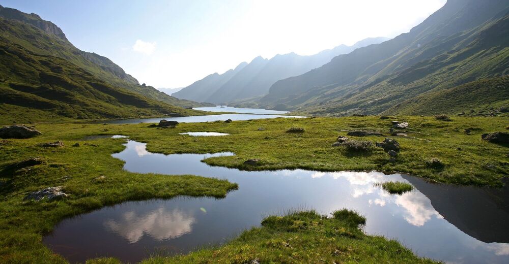
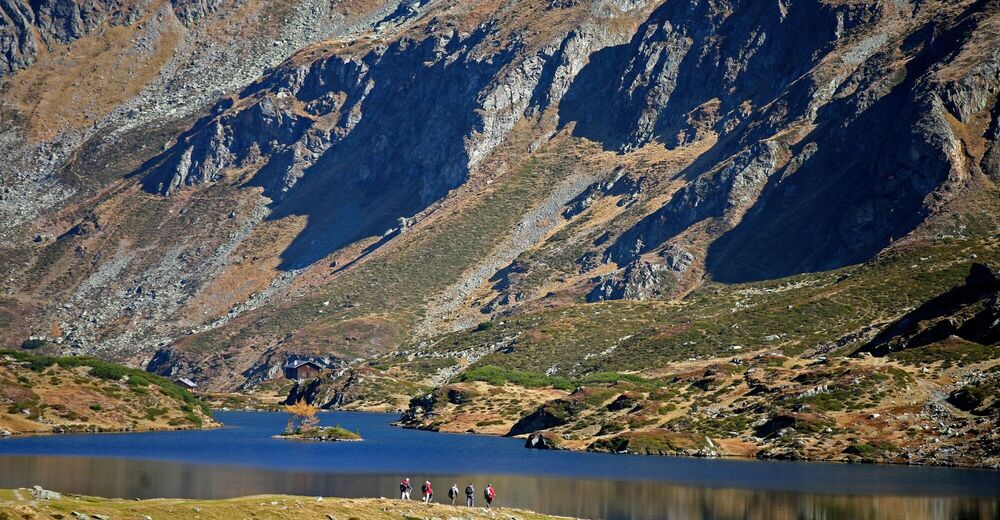
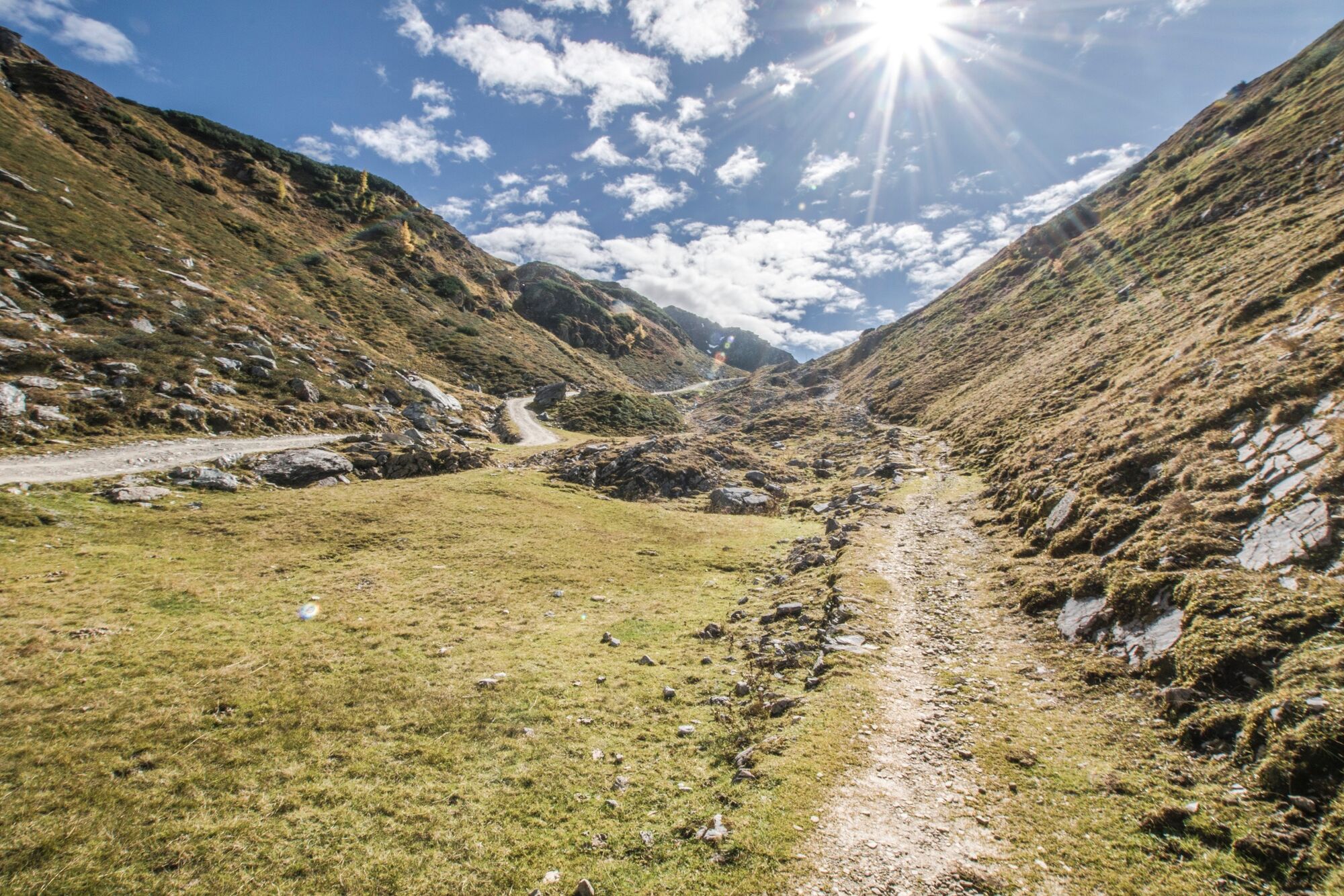
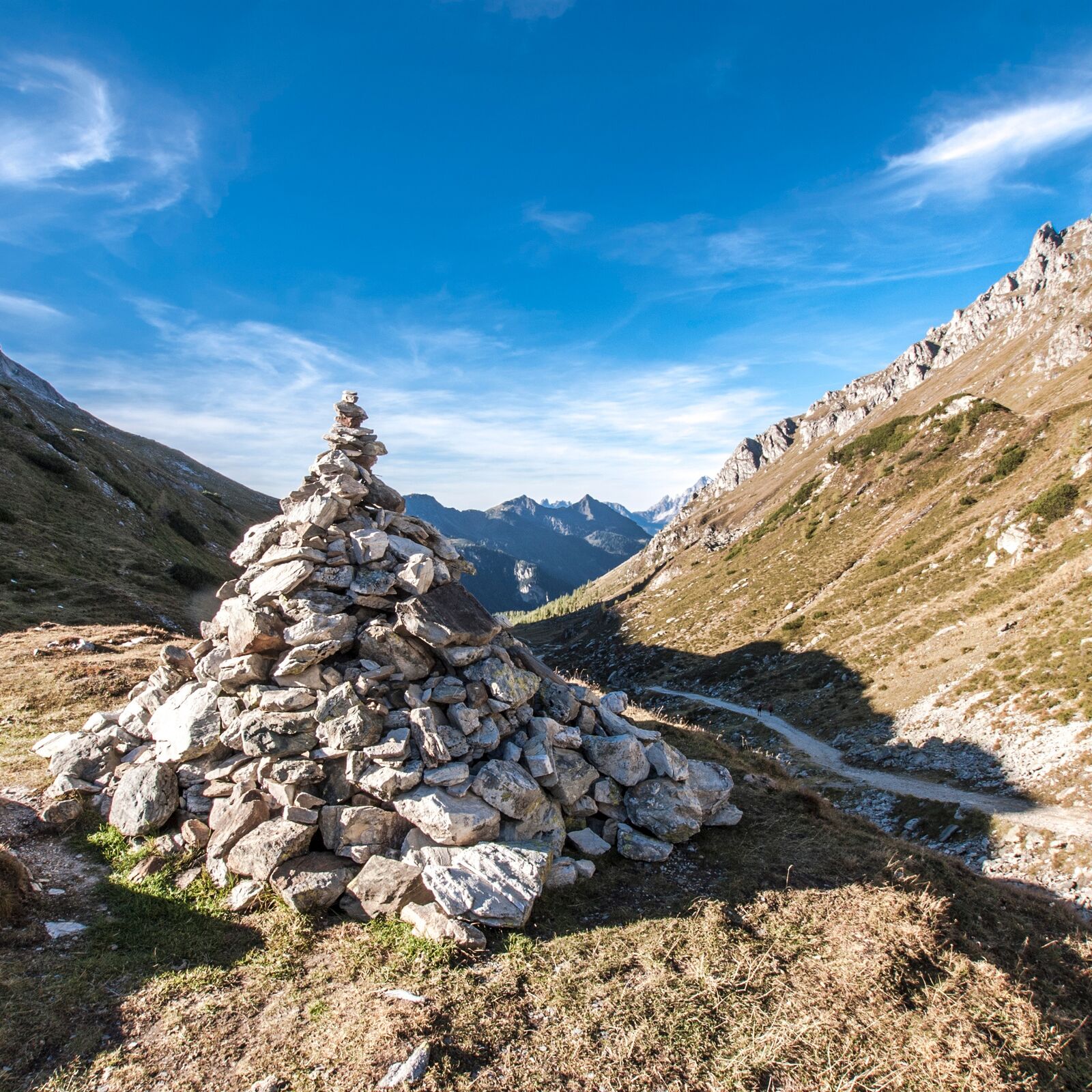
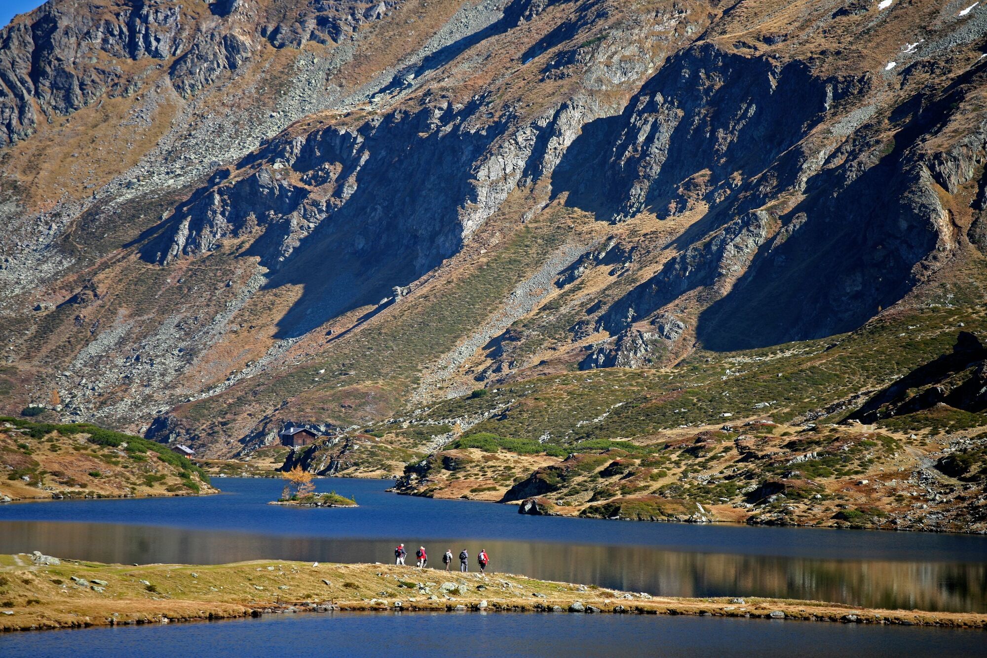
Easy, short hike at elevations between 1700 and 1900 m, on a good trail to two very photogenic mountain lakes with splendid views of the Dachstein.
- Difficulté
-
facile
- Évaluation
-
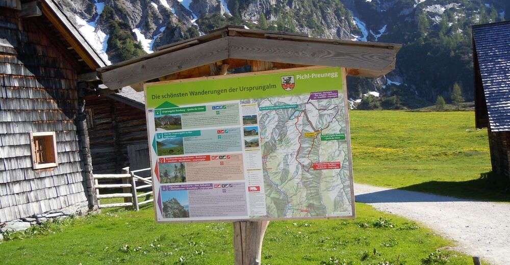
- Parcours
-
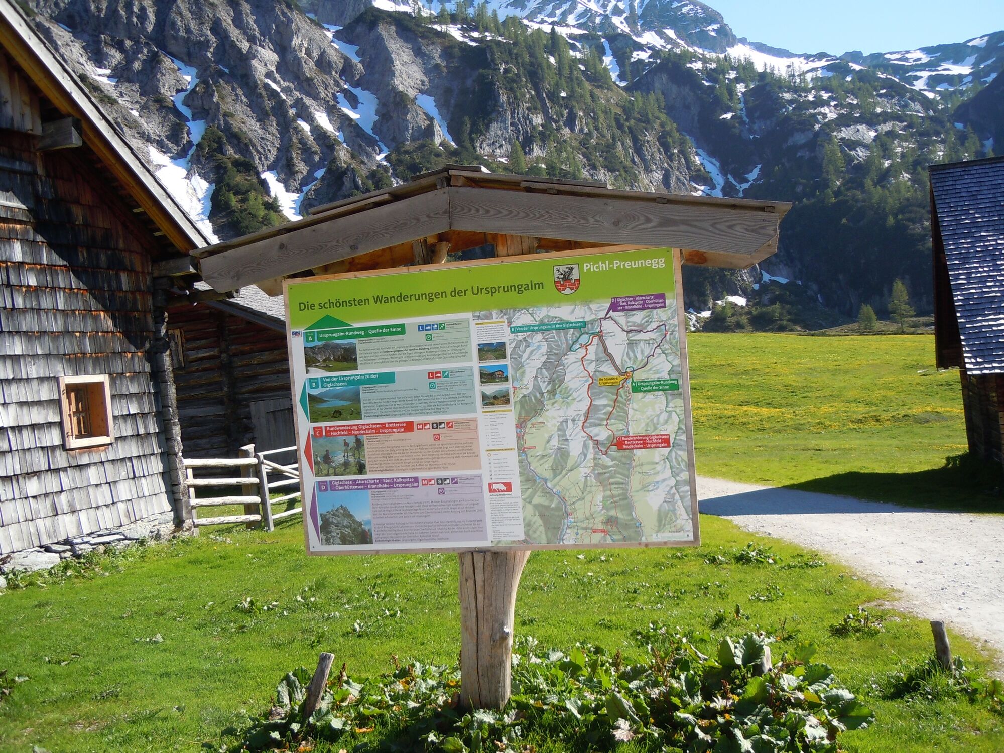
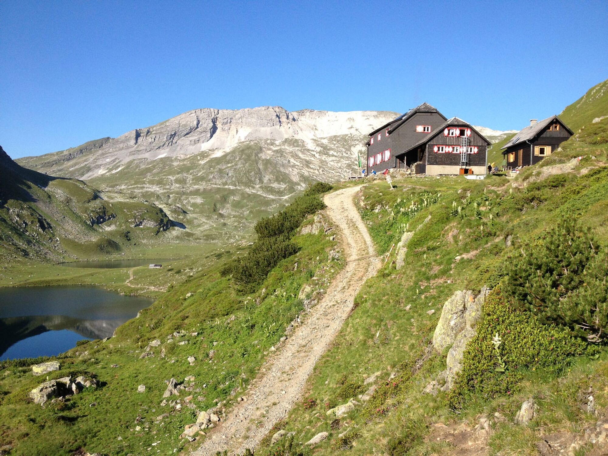
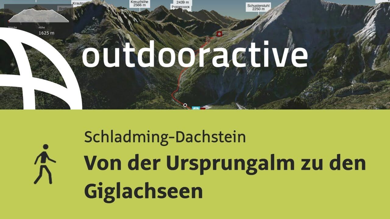
Ursprungalm0,0 kmUrsprung0,2 kmGiglachsee Hütte (1.955 m)2,5 kmIgnaz-Mattis-Hütte (1.986 m)4,2 kmUrsprungalm9,6 km
- Meilleure saison
-
janv.févr.marsavrilmaijuinjuil.aoûtsept.oct.nov.déc.
- Hauteur maximale
- 1.986 m
- Point de mire
-
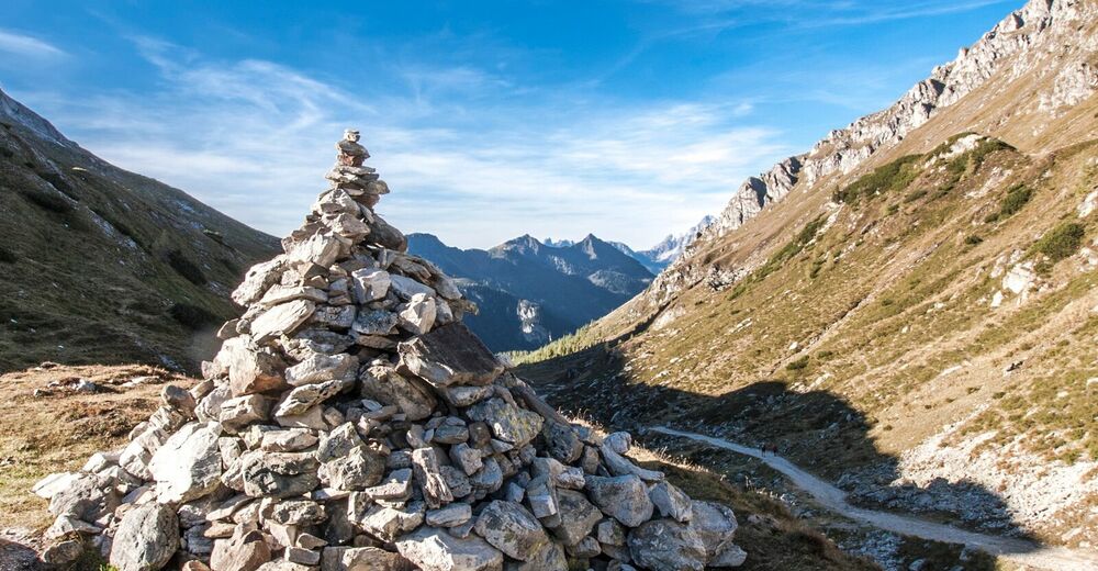
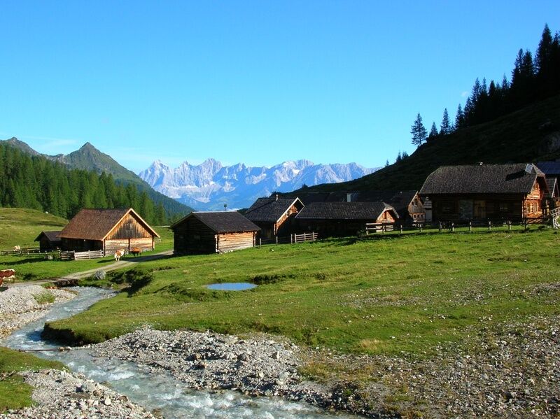
Ursprungal, Preuneggtal valley
- Profil en hauteur
-


-

-
AuteurLa randonnée From the Ursprungalm to the Giglach Lakes est utilisé par outdooractive.com fourni par.
GPS Downloads


Informations générales
Point de rassemblement
Flore
Faune
Prometteur
Autres parcours dans les régions
-
Schladming - Dachstein
3014
-
Obertauern
1644
-
Tweng
308


