© TV Thermen- & Vulkanland - Josef Lederer

© Bad Waltersdorf - Gemeinde Buch St. Magdalena

© Bad Waltersdorf - Ingrid Jansky
© Bad Waltersdorf - Thermenland Süd- & Oststeiermark Marketing GmbH
- Brève description
-
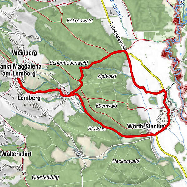
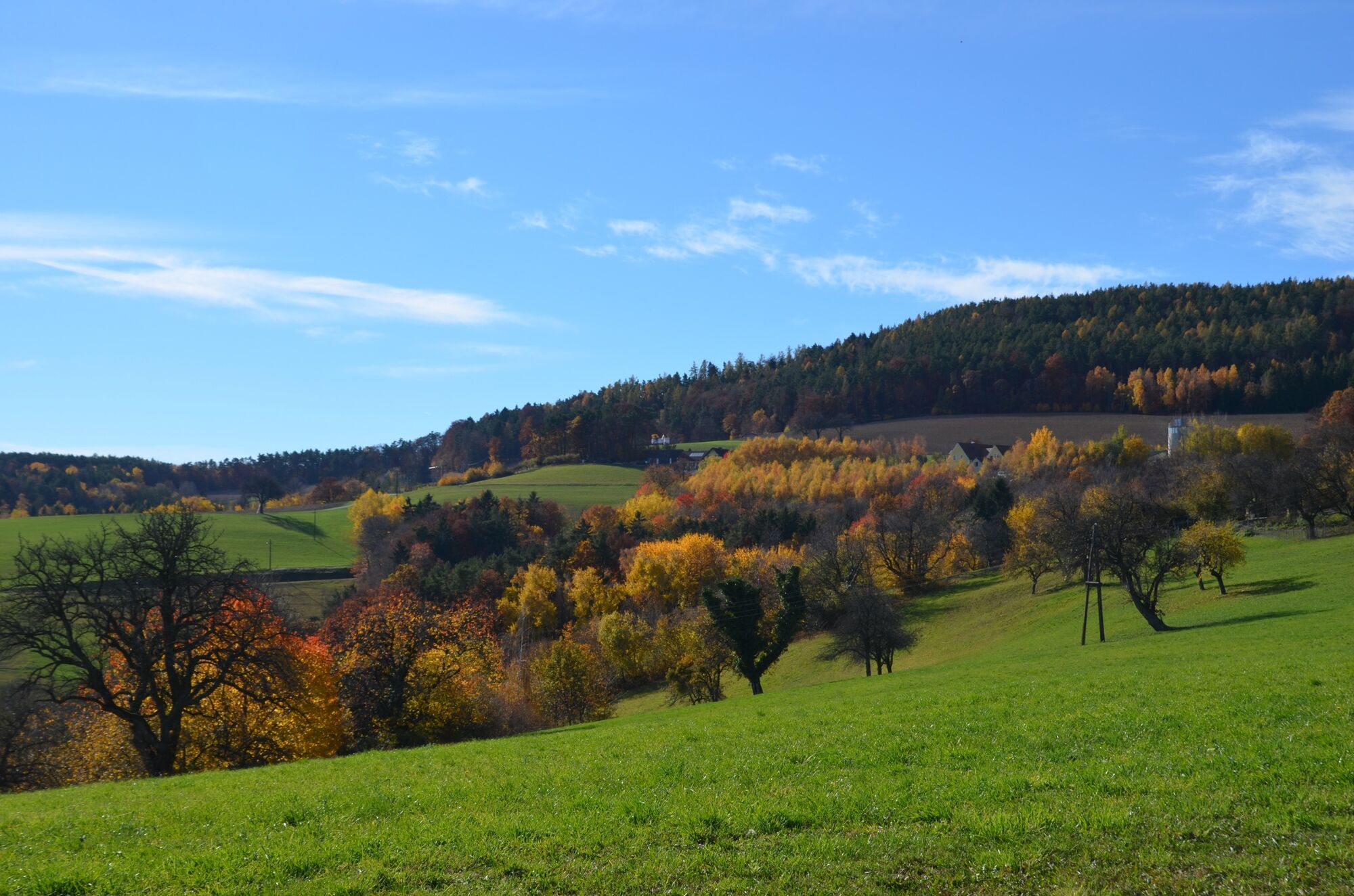
The Fichtenbründl trail, as the name suggests, runs mostly along charming forest paths.
- Difficulté
-
moyen
- Évaluation
-
- Parcours
-
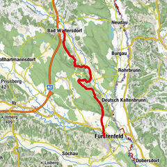
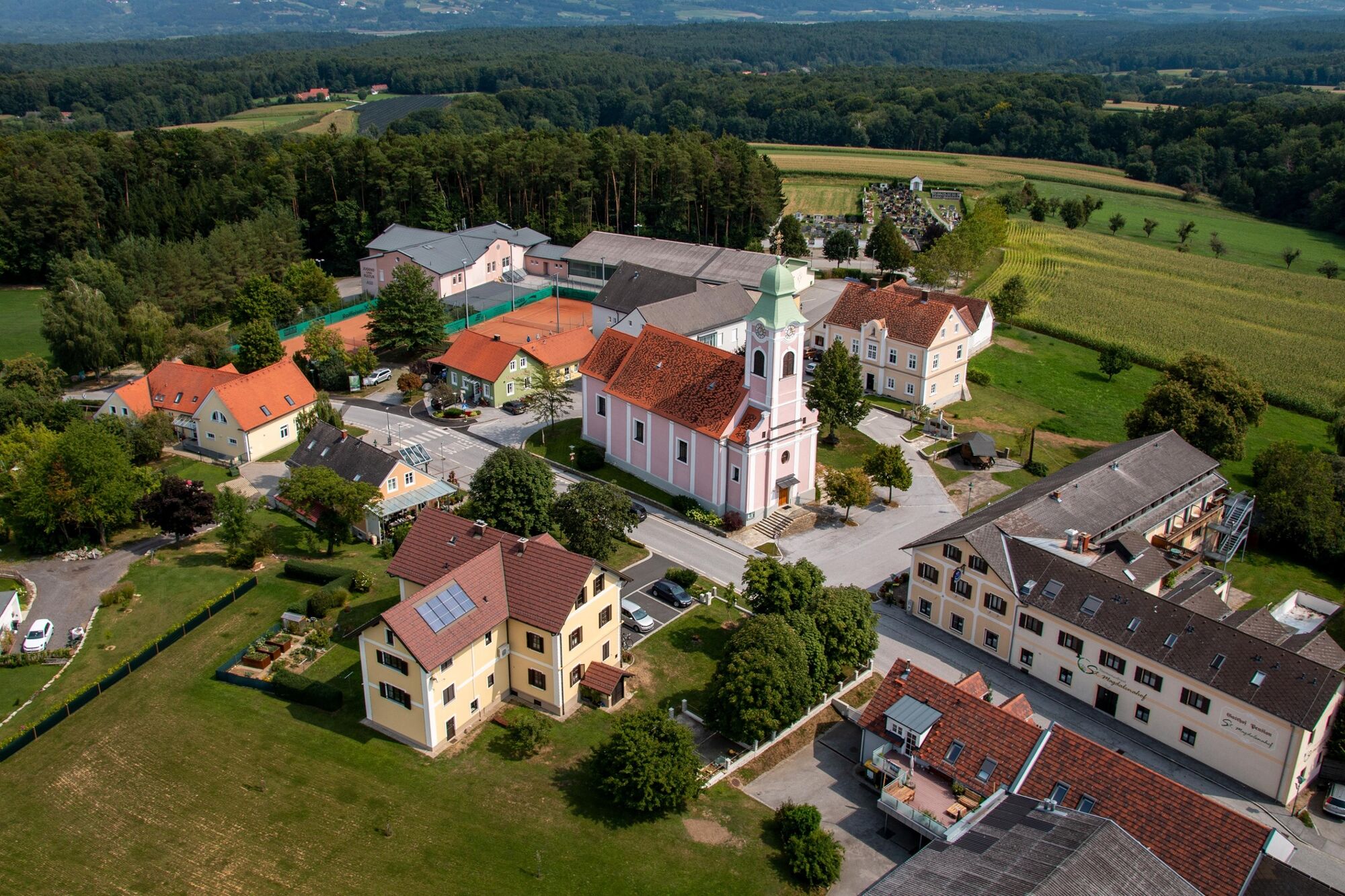
Sankt Magdalena am Lemberg0,0 kmKirche St. Magdalena am Lemberg0,0 kmLemberg0,5 kmMitterndorf1,6 kmFichtenbründl2,8 kmWörth an der Lafnitz6,7 kmWörth-Siedlung7,8 kmMitterndorf10,7 kmLemberg11,7 kmKirche St. Magdalena am Lemberg12,3 kmSankt Magdalena am Lemberg12,3 km
- Meilleure saison
-
janv.févr.marsavrilmaijuinjuil.aoûtsept.oct.nov.déc.
- Hauteur maximale
- 450 m
- Point de mire
-
Ortsmitte St. Magdalena
- Profil en hauteur
-


-

-
AuteurLa randonnée Fichtenbründl trail (Fichtenbründl-Weg) est utilisé par outdooractive.com fourni par.
GPS Downloads


Informations générales
Point de rassemblement
Flore
Autres parcours dans les régions
-
Thermen- & Vulkanland
1324
-
Bad Waltersdorf
624
-
Buch-St. Magdalena
143