

© Region Graz - Meike Brucher

© Region Graz - Meike Brucher

© Region Graz - Meike Brucher

© Region Graz - Meike Brucher

© Region Graz - Meike Brucher

© Region Graz - Meike Brucher

© Region Graz - Meike Brucher

© Region Graz - Meike Brucher

© Region Graz - Meike Brucher

© Region Graz - Meike Brucher

- Brève description
-
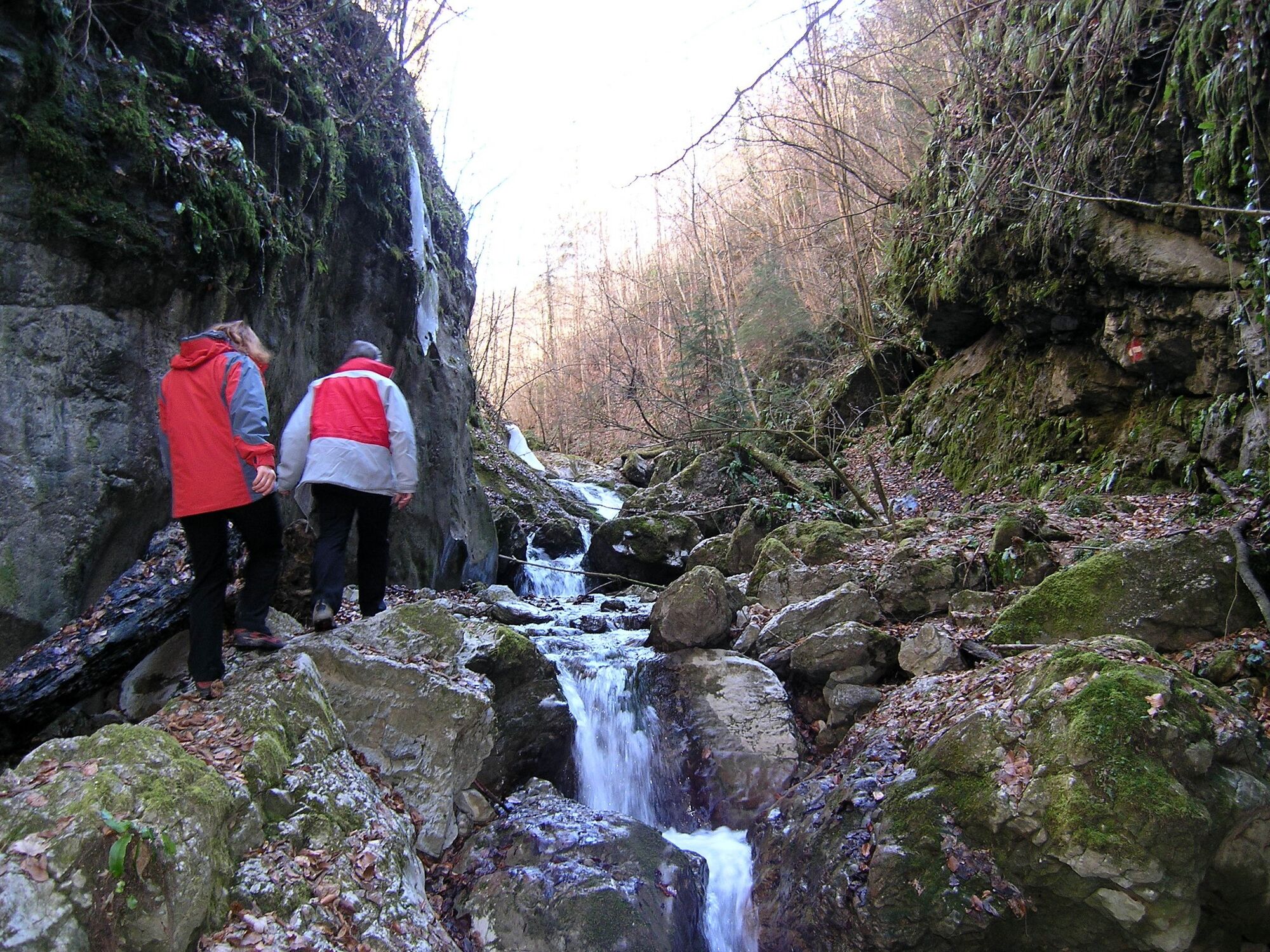
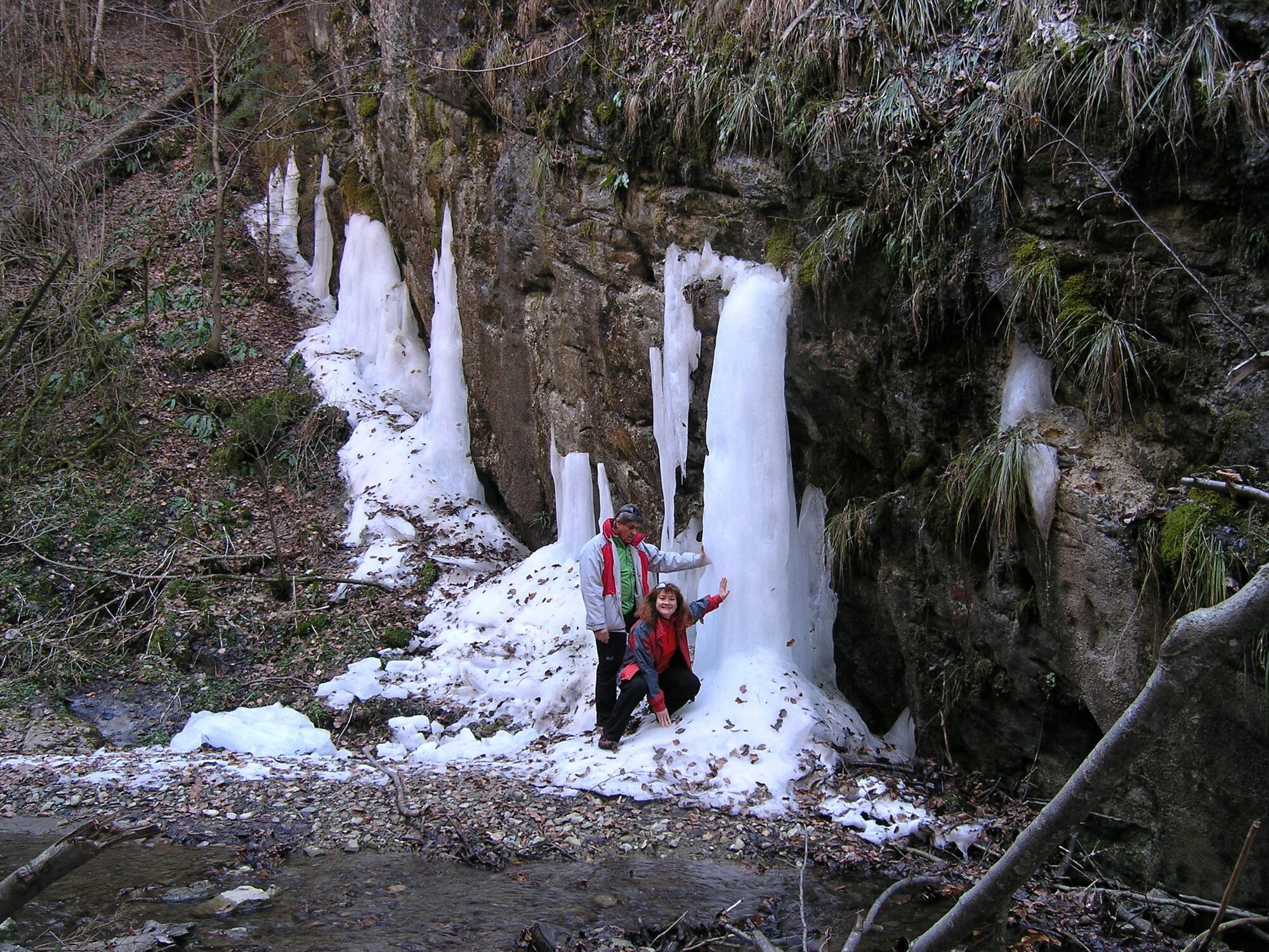
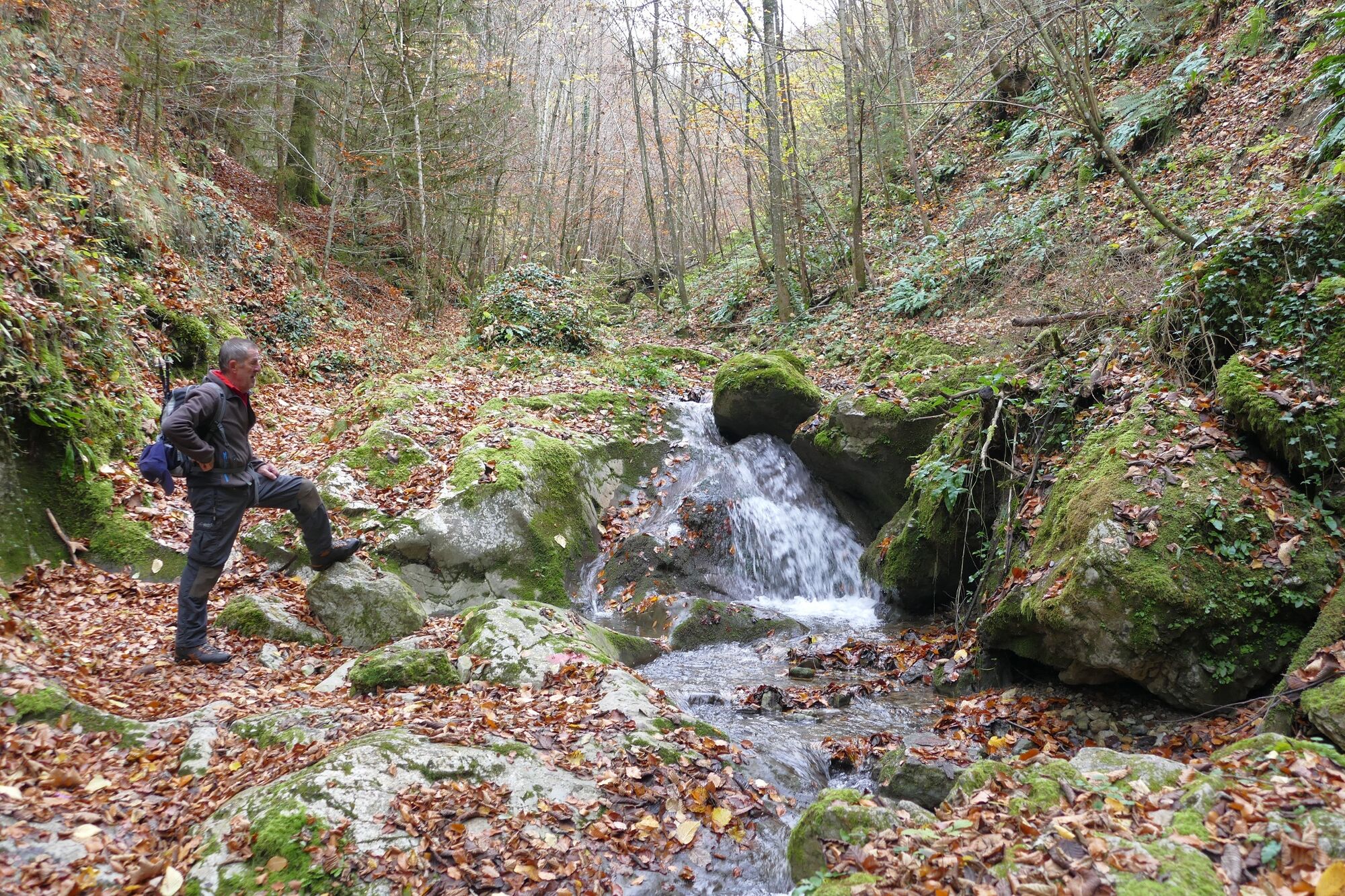
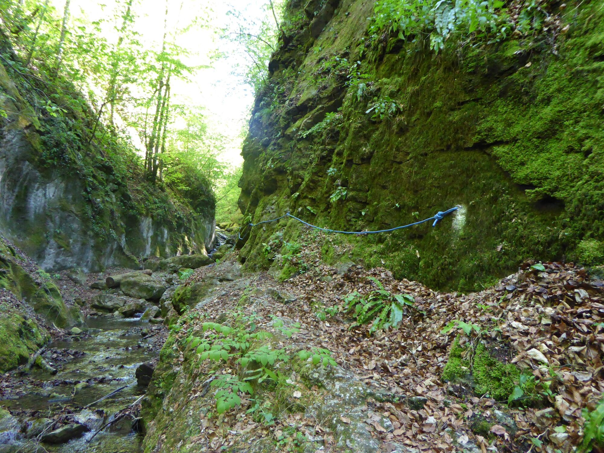
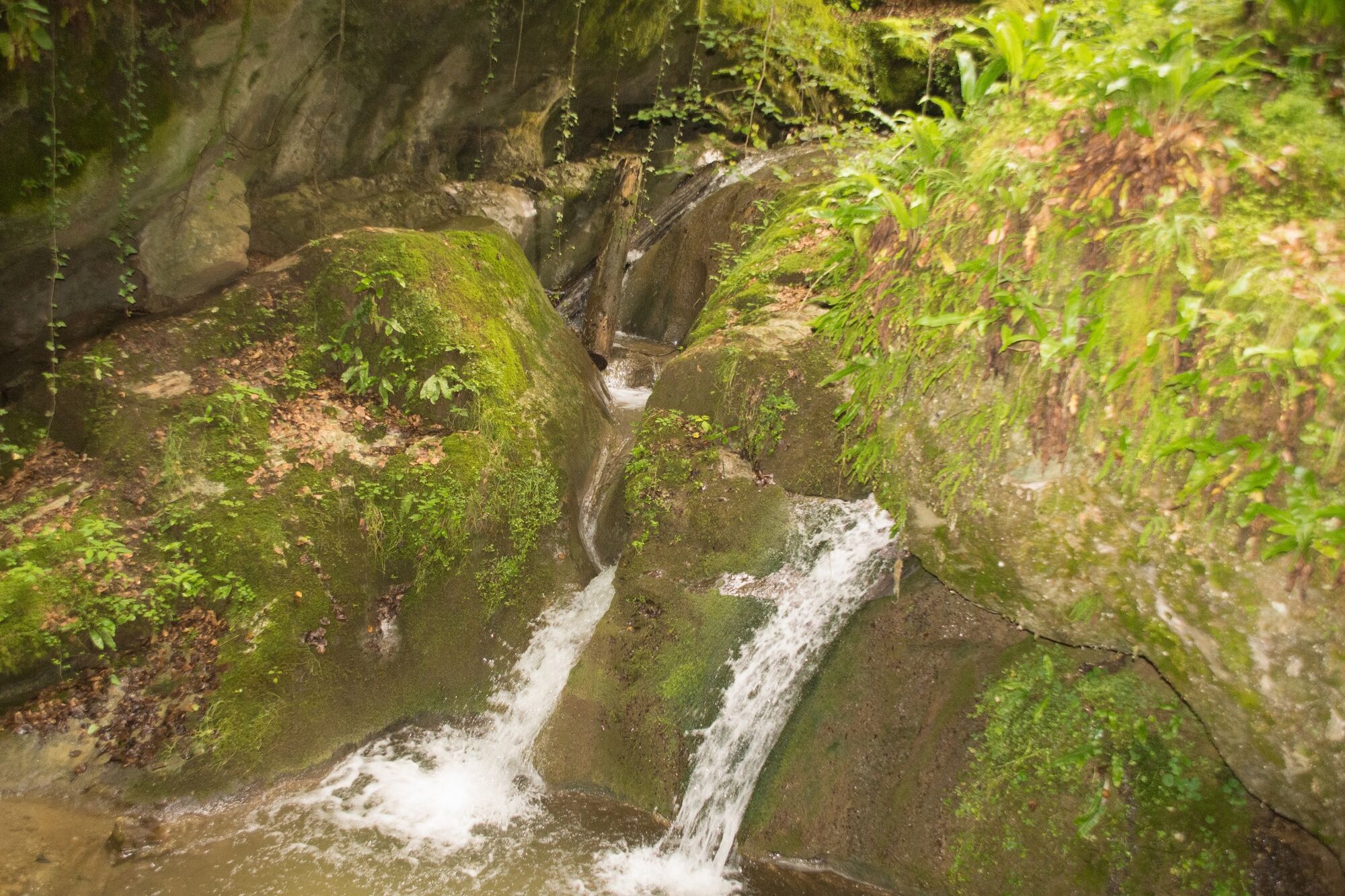
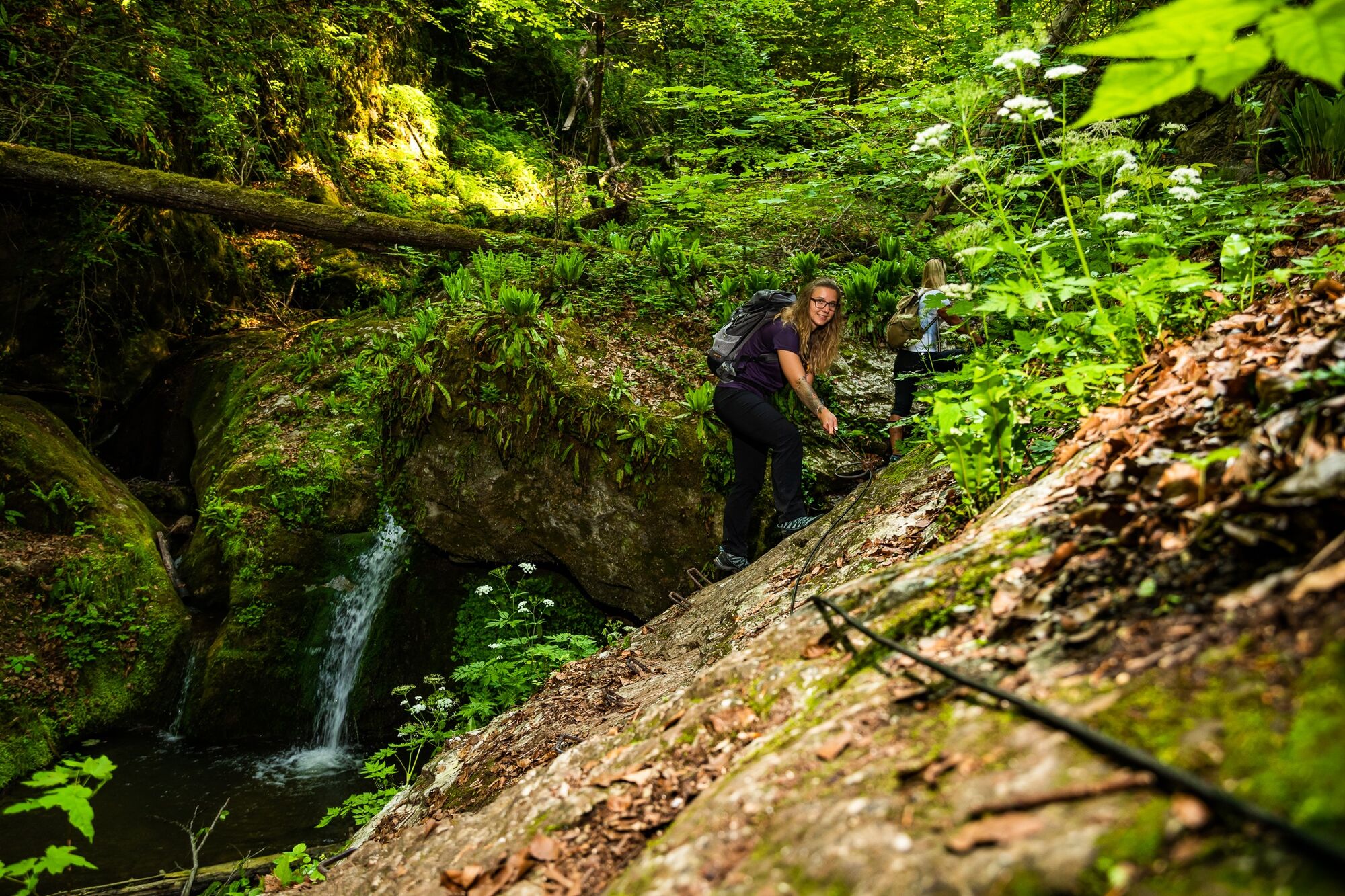
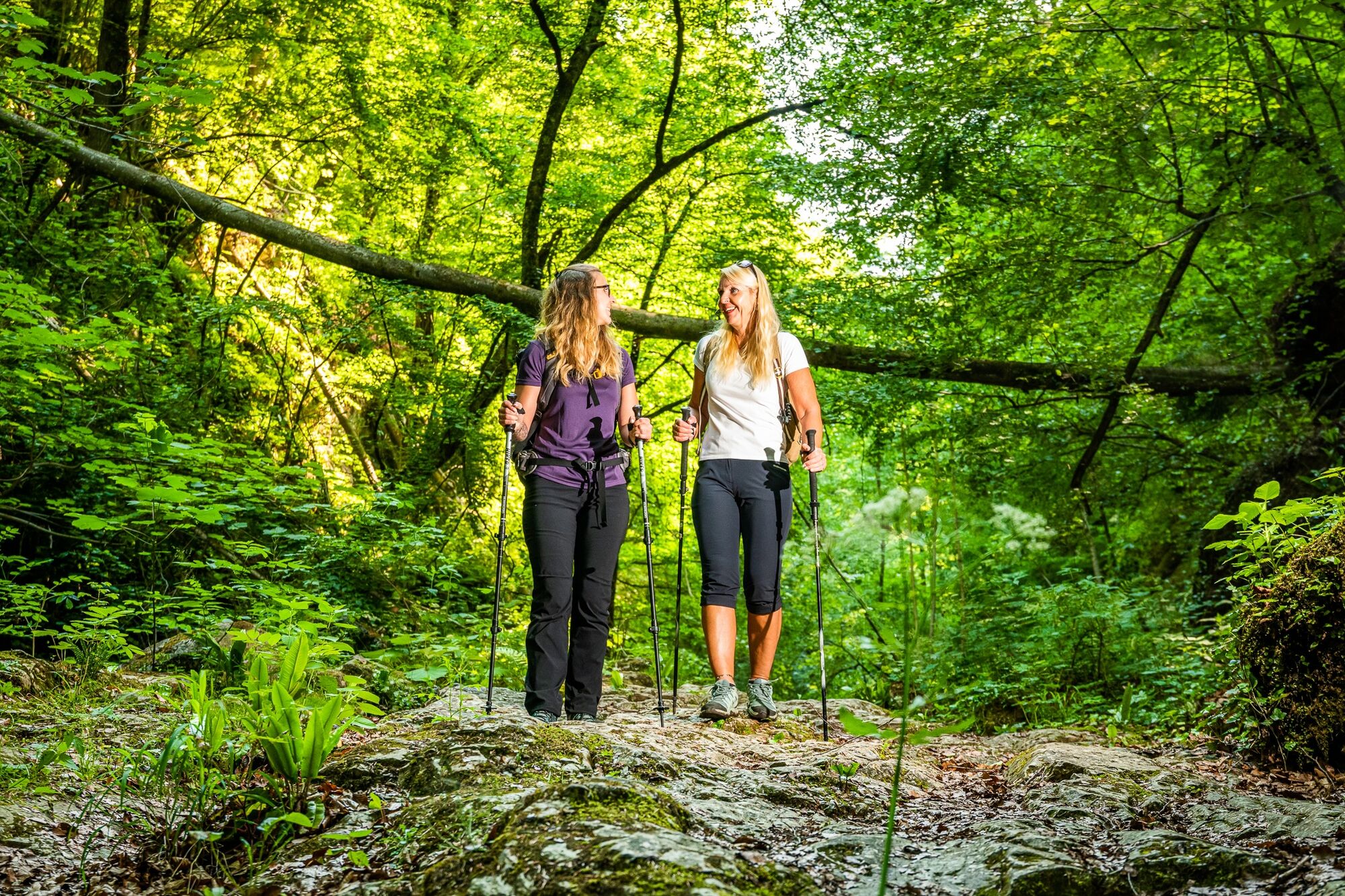
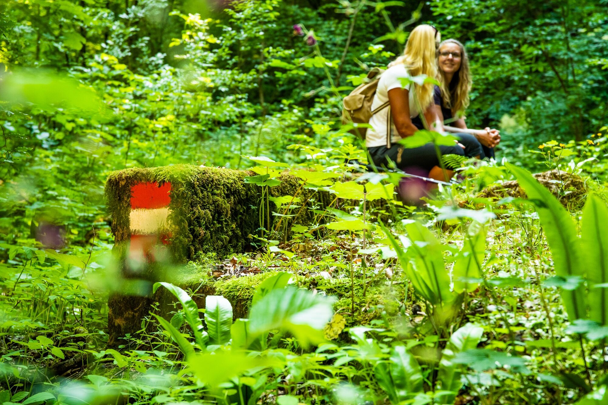
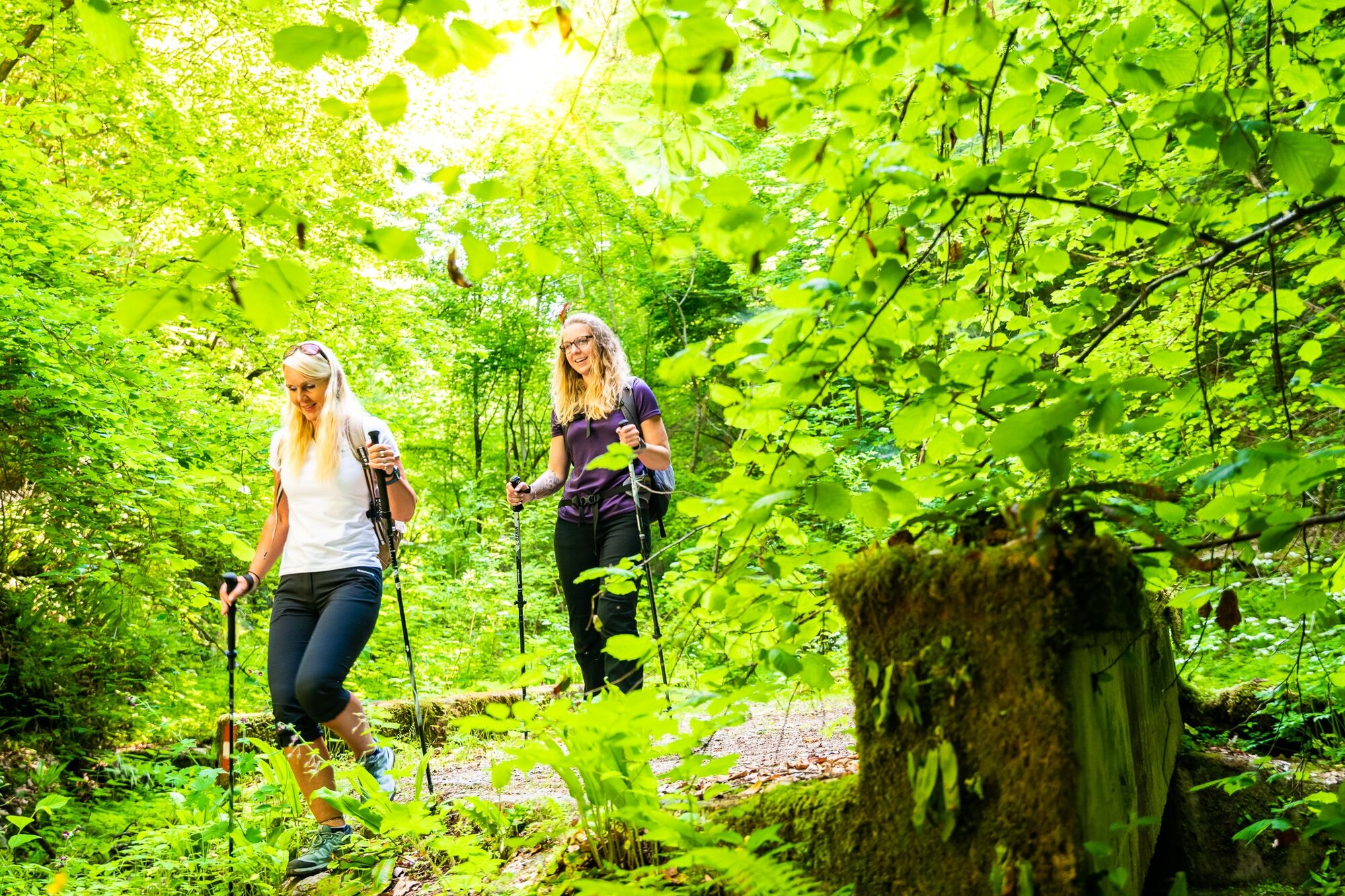
Hiking across streams and stones
- Difficulté
-
moyen
- Évaluation
-
- Parcours
-
Badl0,1 kmBadlbachhöhle0,8 kmHausmanningerdoline2,8 kmKapellenhöhle5,2 kmBadl5,3 km
- Meilleure saison
-
janv.févr.marsavrilmaijuinjuil.aoûtsept.oct.nov.déc.
- Hauteur maximale
- 569 m
- Point de mire
-
Follow either the federal road south and towards Peggau town centre, or go back to the starting point.
- Profil en hauteur
-


- Auteur
-
La randonnée Adventure hike through the Badl gorge est utilisé par outdooractive.com fourni par.
GPS Downloads


Informations générales
Secret
Flore
Autres parcours dans les régions
-
Erlebnisregion Graz
2783
-
OberGraz
1731
-
Peggau
652


