© Tourismusverband Region Murau - Tom Lamm

© Tourismusverband Region Murau - F. Valencak

- Brève description
-
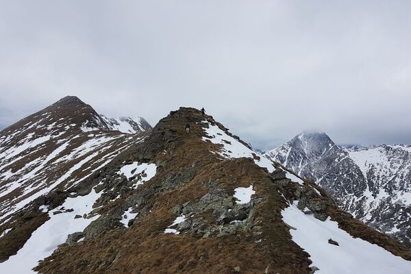
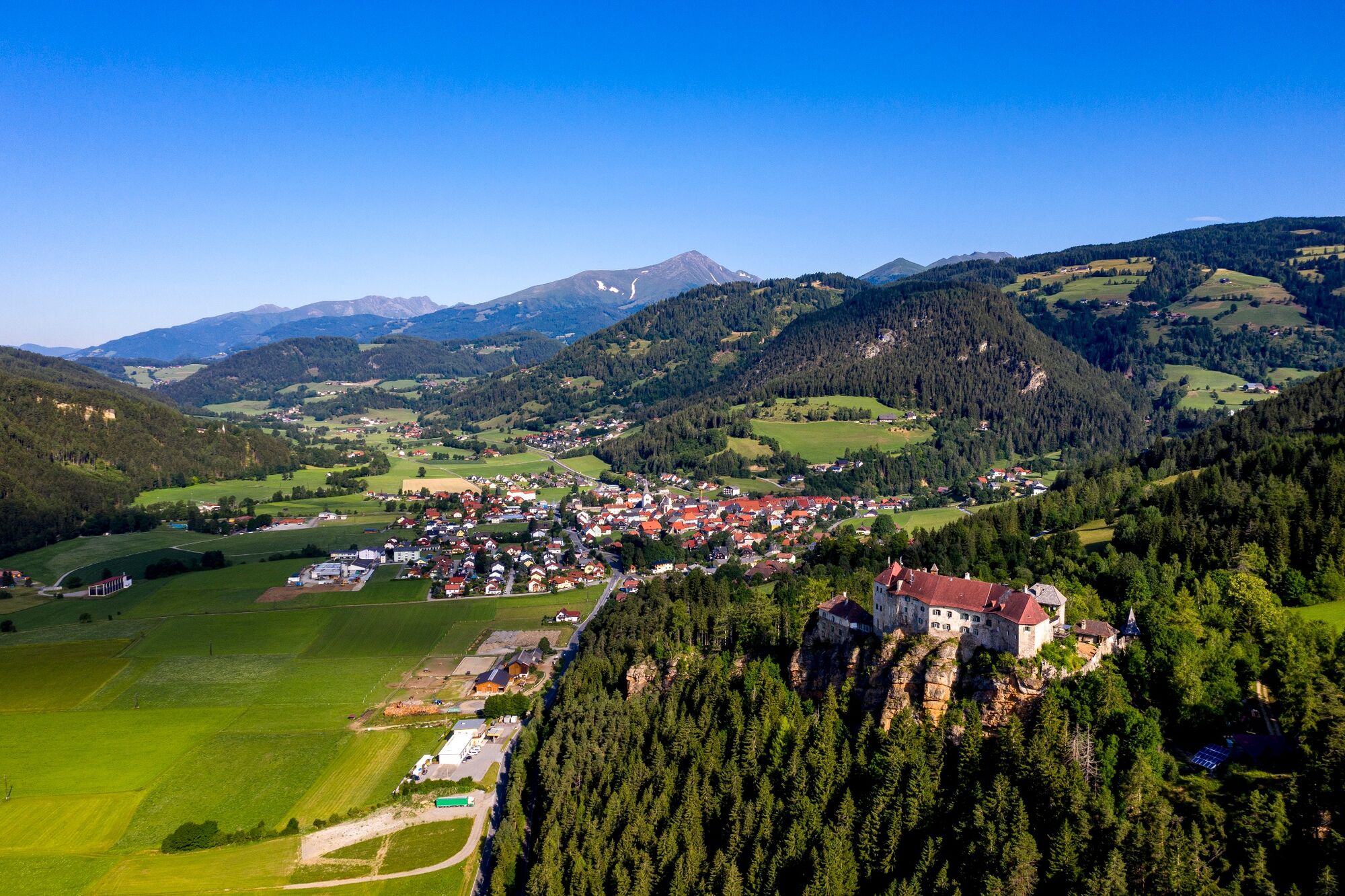
Large circular tour on the southern slope of the Wölzer valley, where you always have the Wölzer valley, the Wölzer Tauern and the Seetaler Alps in view.
- Difficulté
-
moyen
- Évaluation
-
- Parcours
-
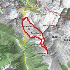
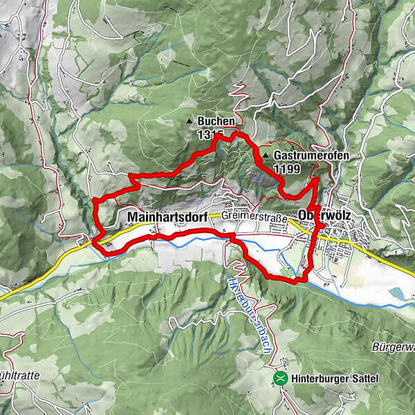
OberwölzStadtPfarrkirche hl. Martin0,0 kmFilialkirche hl. Sigismund0,0 kmJohannes-Nepomuk-Kapelle0,1 kmVorstadt0,1 kmGastrumerofen (1.199 m)2,3 kmWinklern bei Oberwölz6,1 kmWallfahrtskirche Maria Altötting6,1 kmMainhartsdorf7,1 kmWieden8,2 kmVorstadt10,0 kmJohannes-Nepomuk-Kapelle10,2 kmOberwölz10,2 kmFilialkirche hl. Sigismund10,2 kmPfarrkirche hl. Martin10,2 kmStadt10,3 km
- Meilleure saison
-
janv.févr.marsavrilmaijuinjuil.aoûtsept.oct.nov.déc.
- Hauteur maximale
- 1.166 m
- Point de mire
-
Information board at the parish church
- Profil en hauteur
-

- Auteur
-
La randonnée Great Sonnleiten circuit (path 4) est utilisé par outdooractive.com fourni par.
GPS Downloads


Informations générales
Prometteur
Autres parcours dans les régions