

© Tourismusverband Region Murau - Alexander Brunner

© Tourismusverband Region Murau - Alexander Brunner

© Tourismusverband Oberwölz-Lachtal

- Brève description
-
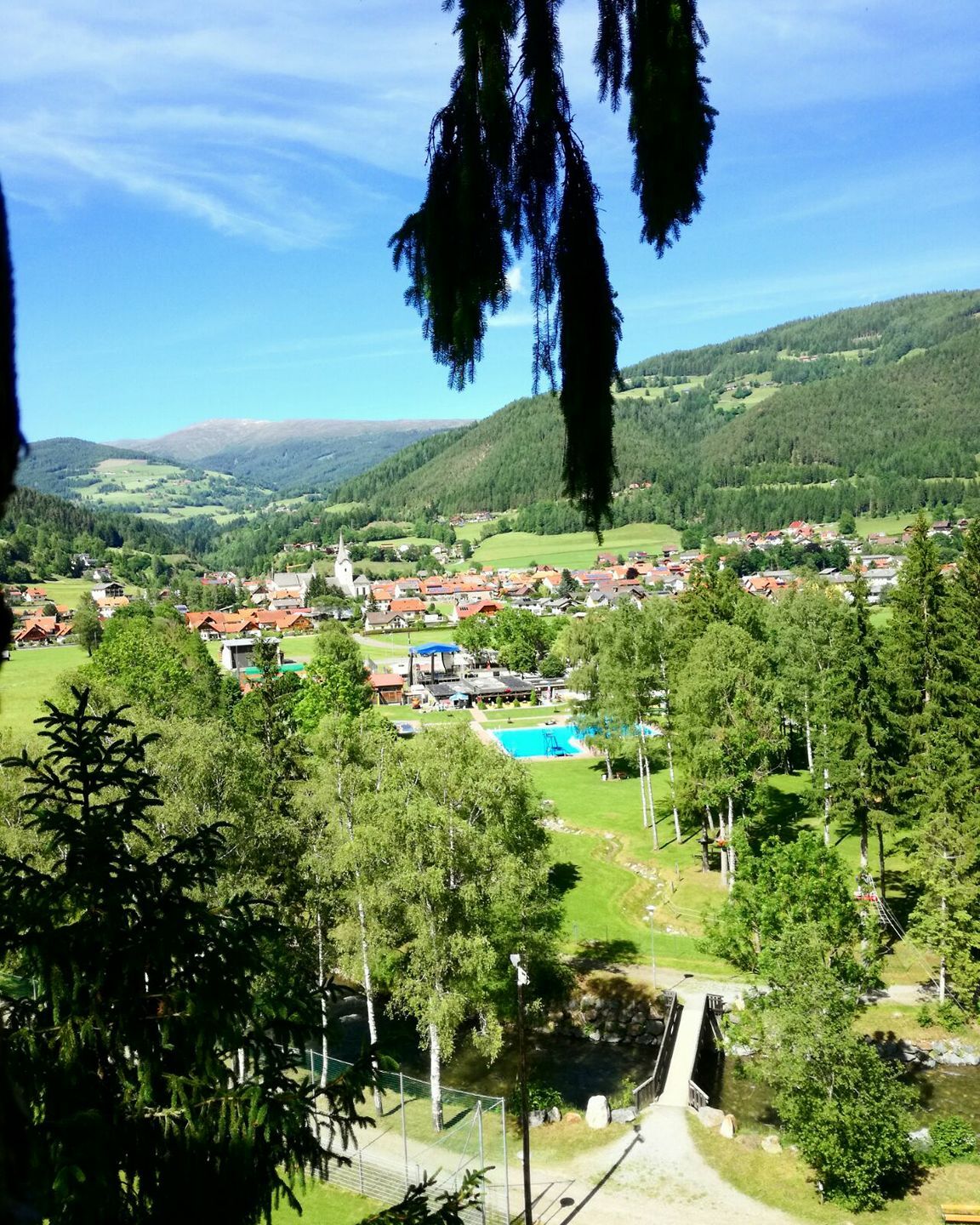
This is a family and stroller friendly walk partly along the stream bank, partly along the bike path.
- Difficulté
-
facile
- Évaluation
-
- Parcours
-
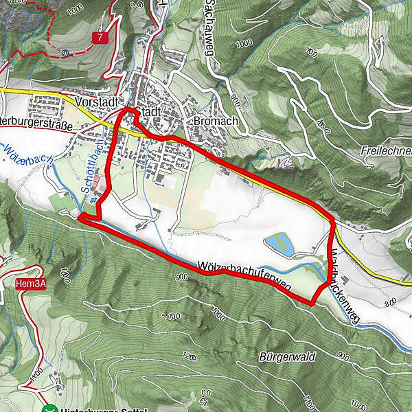
OberwölzStadtPfarrkirche hl. Martin0,0 kmFilialkirche hl. Sigismund0,0 kmJohannes-Nepomuk-Kapelle0,0 kmVorstadt0,1 kmLeitnerkapelle3,5 kmBromach4,0 kmOberwölz4,0 kmStadt4,5 kmFilialkirche hl. Sigismund4,5 kmPfarrkirche hl. Martin4,6 km
- Meilleure saison
-
janv.févr.marsavrilmaijuinjuil.aoûtsept.oct.nov.déc.
- Hauteur maximale
- 830 m
- Point de mire
-
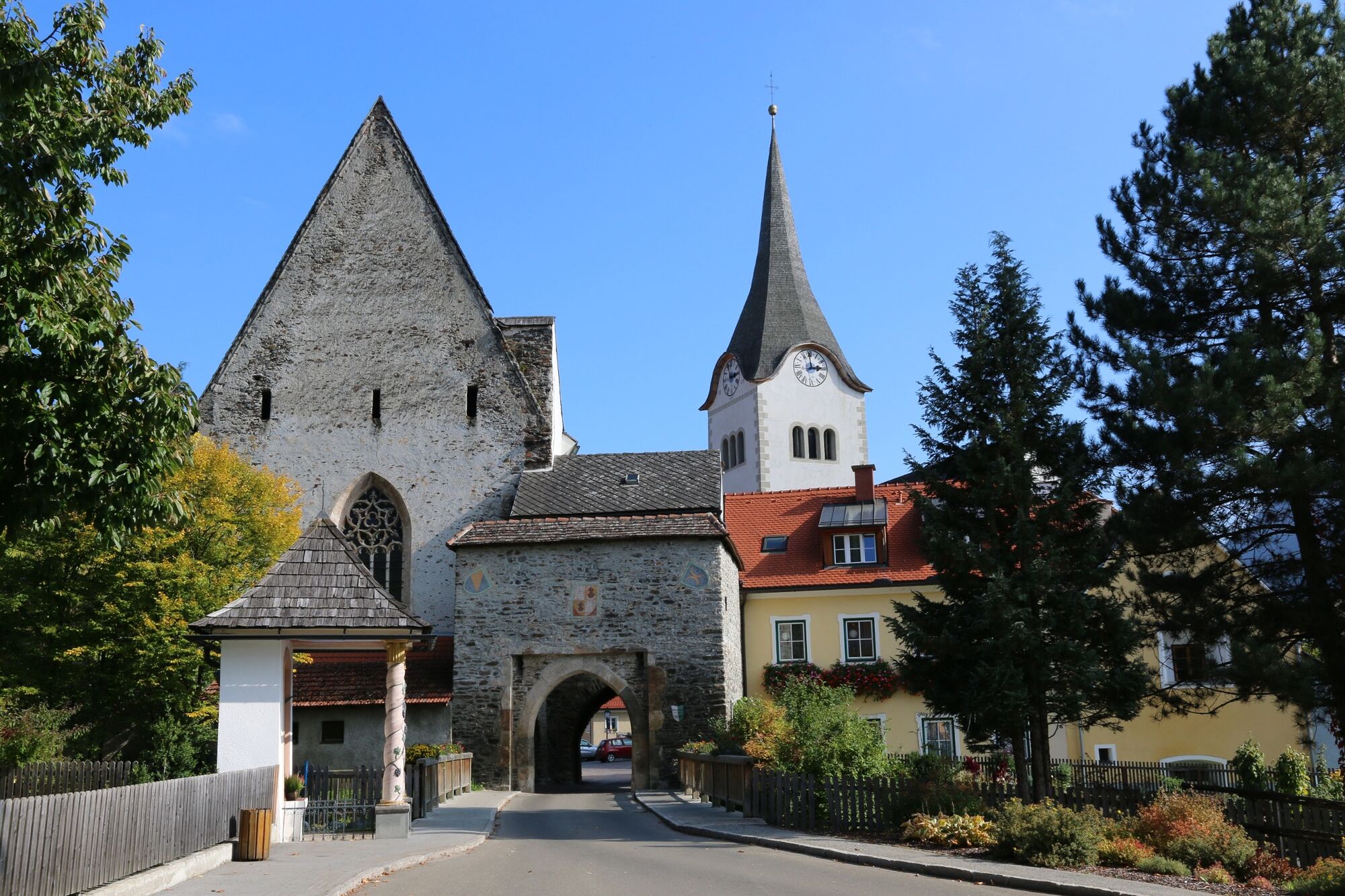
Information center opposite the parish church
- Profil en hauteur
-

- Auteur
-
La randonnée Forest bridge - white pine path (path 12) est utilisé par outdooractive.com fourni par.
GPS Downloads


Informations générales
Prometteur
Autres parcours dans les régions


