© Tourismusverband Region Murau - Jasmin Schmidt

- Brève description
-
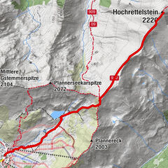
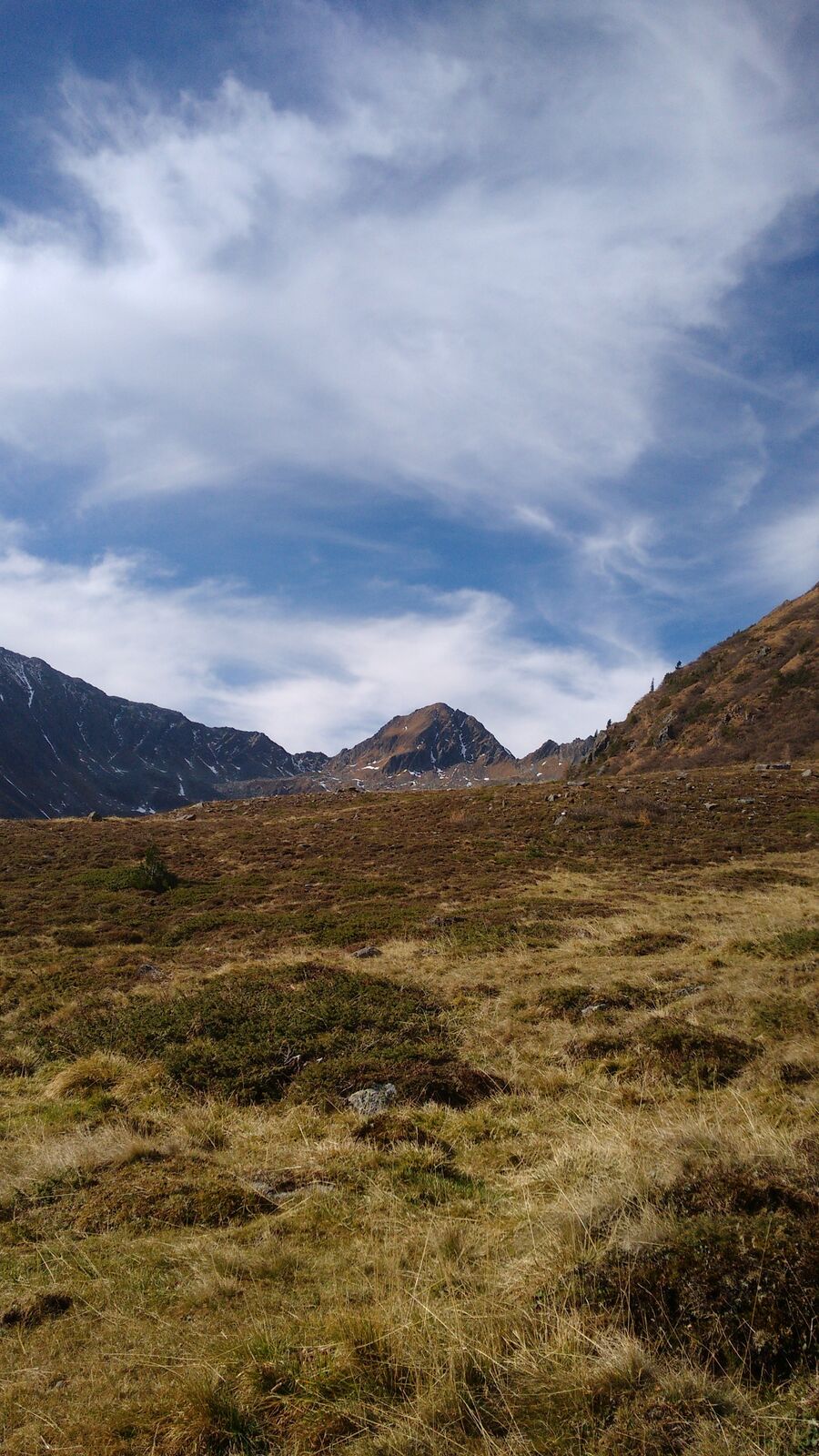
A challenging hiking trail with magnificent views of the surrounding mountains of the Ennstal Alps.
- Difficulté
-
difficile
- Évaluation
-
- Parcours
-
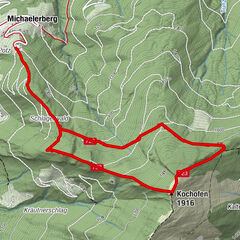
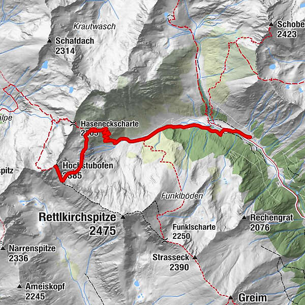
Rocklscharte4,9 kmHochstubofen (2.385 m)5,3 km
- Meilleure saison
-
janv.févr.marsavrilmaijuinjuil.aoûtsept.oct.nov.déc.
- Hauteur maximale
- 2.361 m
- Point de mire
-
Hochstubofen
- Profil en hauteur
-

- Auteur
-
La randonnée Hochstubofen est utilisé par outdooractive.com fourni par.
GPS Downloads


Informations générales
Point de rassemblement
Secret
Prometteur
Autres parcours dans les régions
-
TourismusRegion Murau
1743
-
Naturpark Sölktäler
927
-
Schöder
200