

© Erlebnisregion Schladming-Dachstein - Josh Absenger

© Erlebnisregion Schladming-Dachstein - Josh Absenger

© Erlebnisregion Schladming-Dachstein - Josh Absenger

© Erlebnisregion Schladming-Dachstein - Birgit Walcher

© Erlebnisregion Schladming-Dachstein - Josh Absenger

© Erlebnisregion Schladming-Dachstein - Birgit Walcher

© Gerhard Pilz

© Erlebnisregion Schladming-Dachstein - Josh Absenger

© Erlebnisregion Schladming-Dachstein - Birgit Walcher

© Erlebnisregion Schladming-Dachstein - Birgit Walcher
- Brève description
-
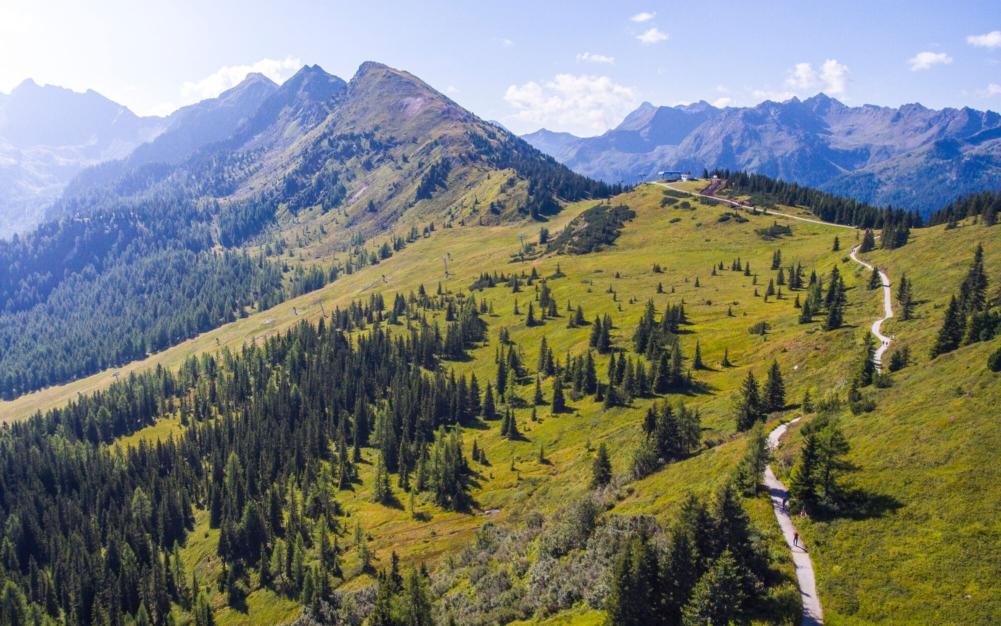
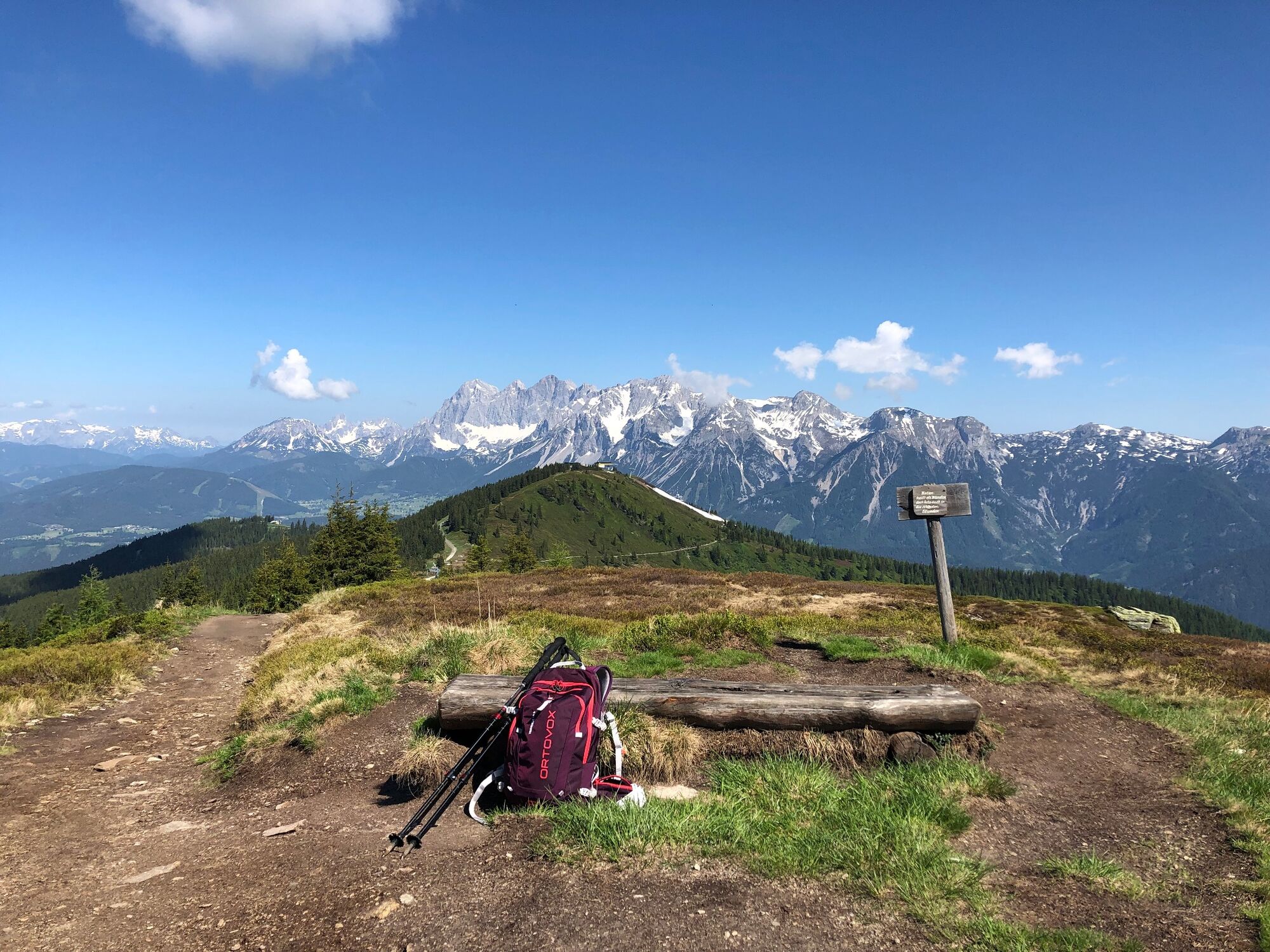
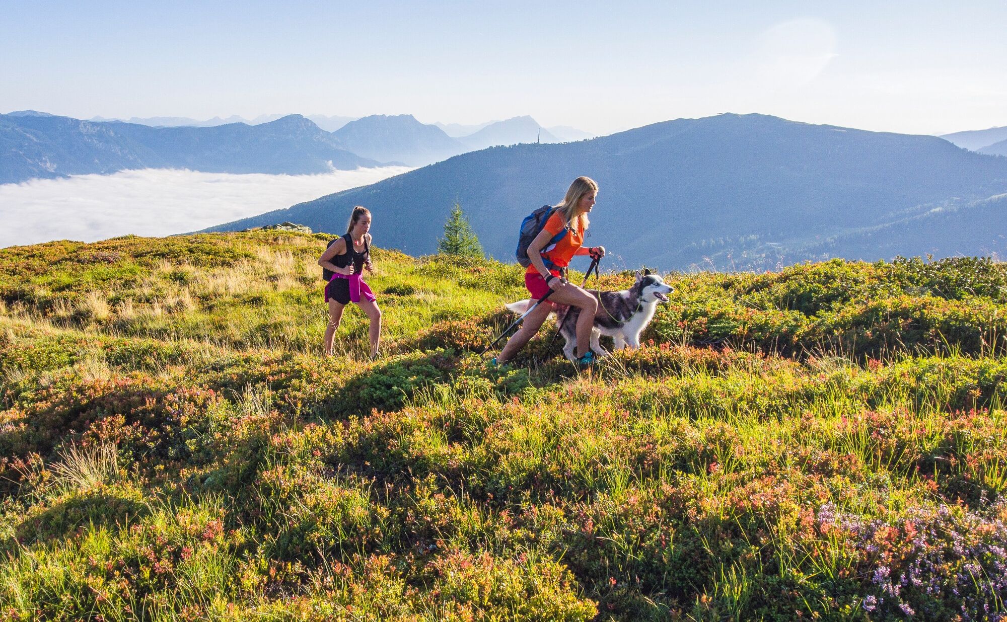
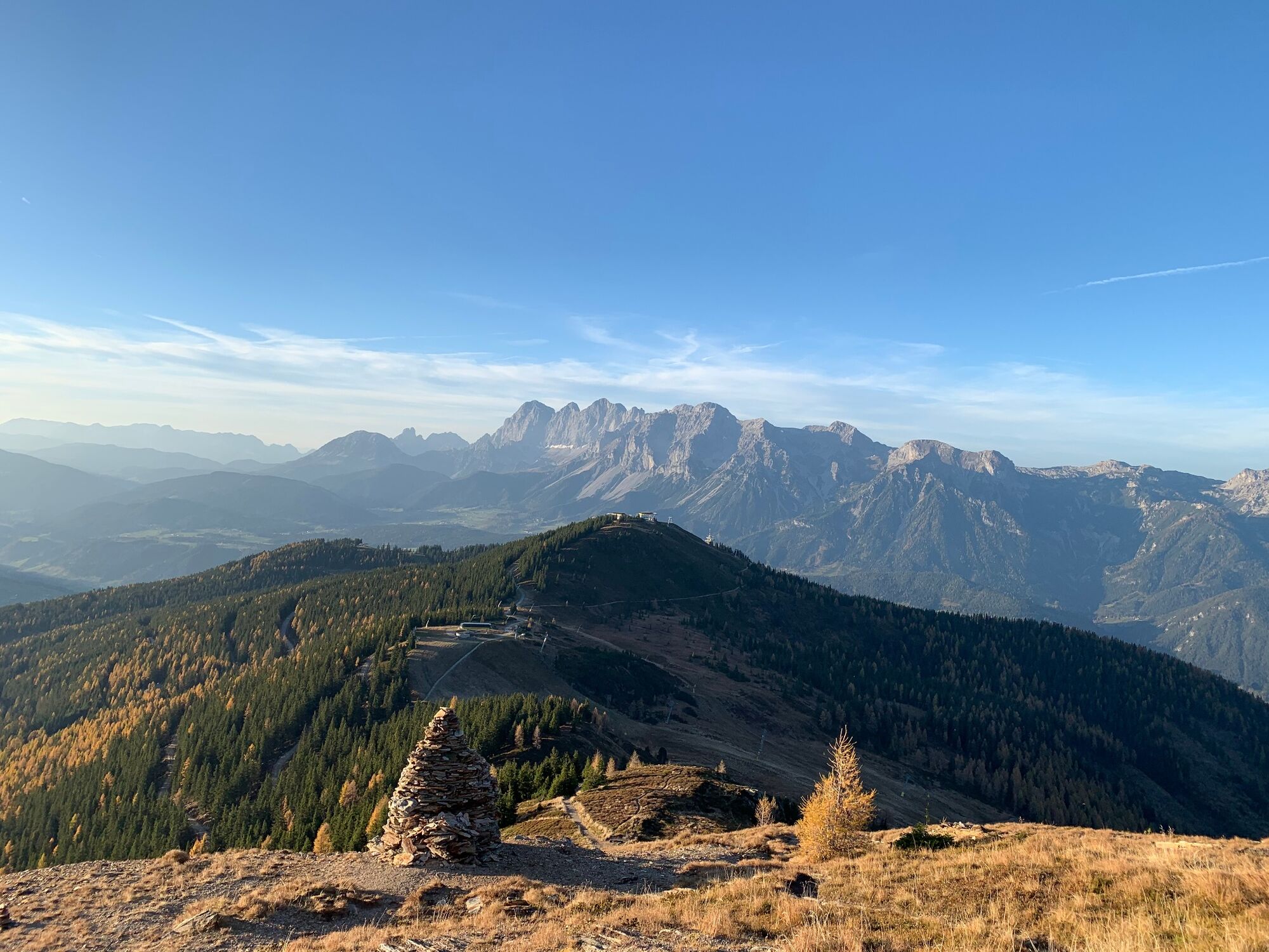
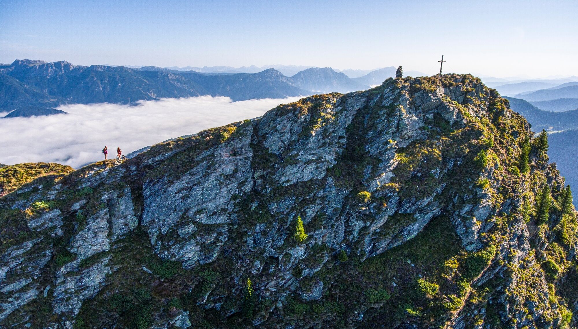
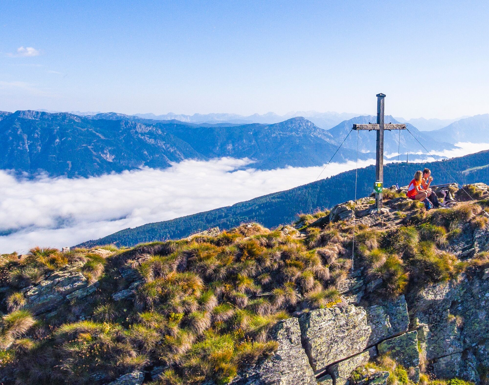
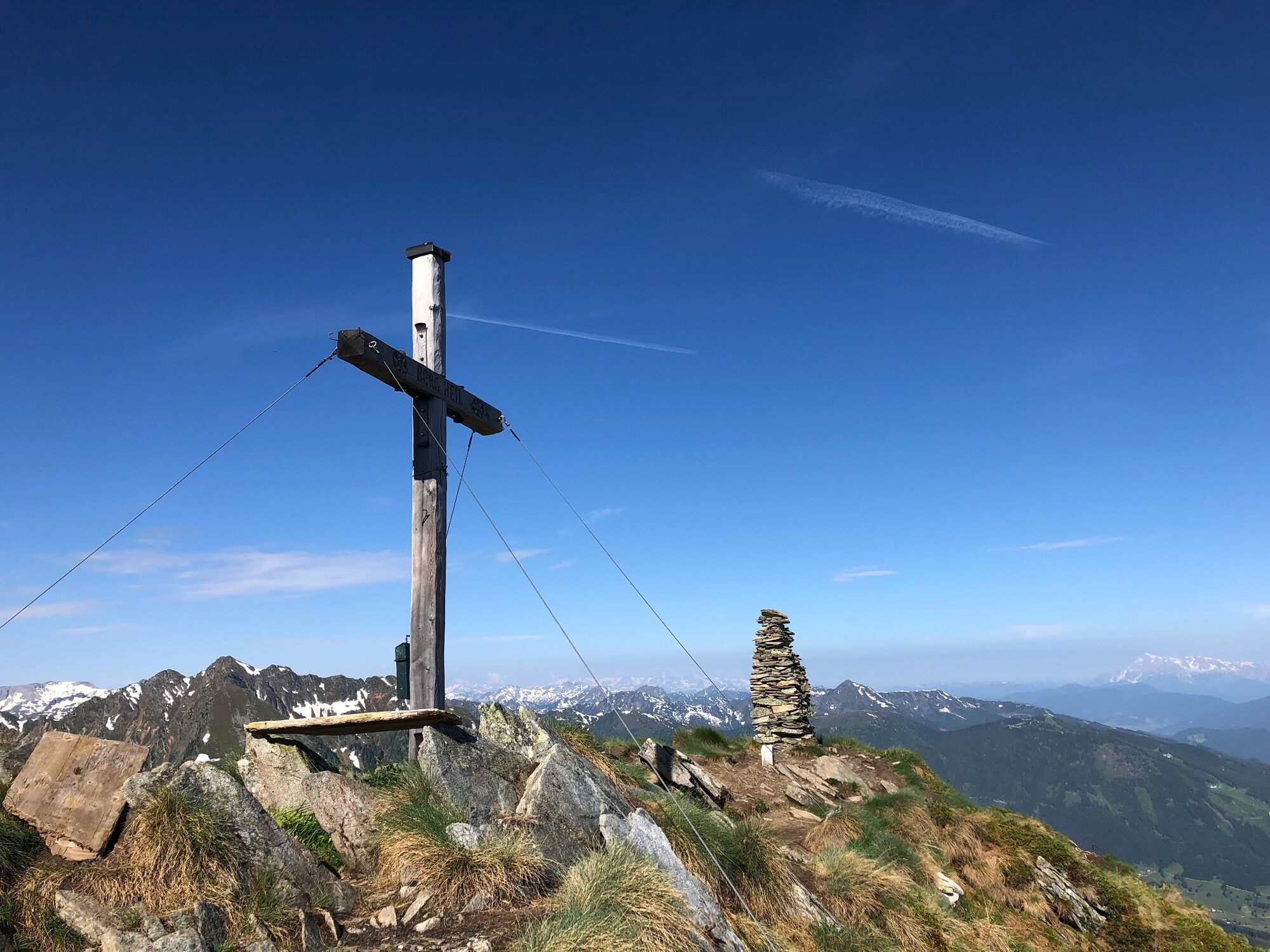
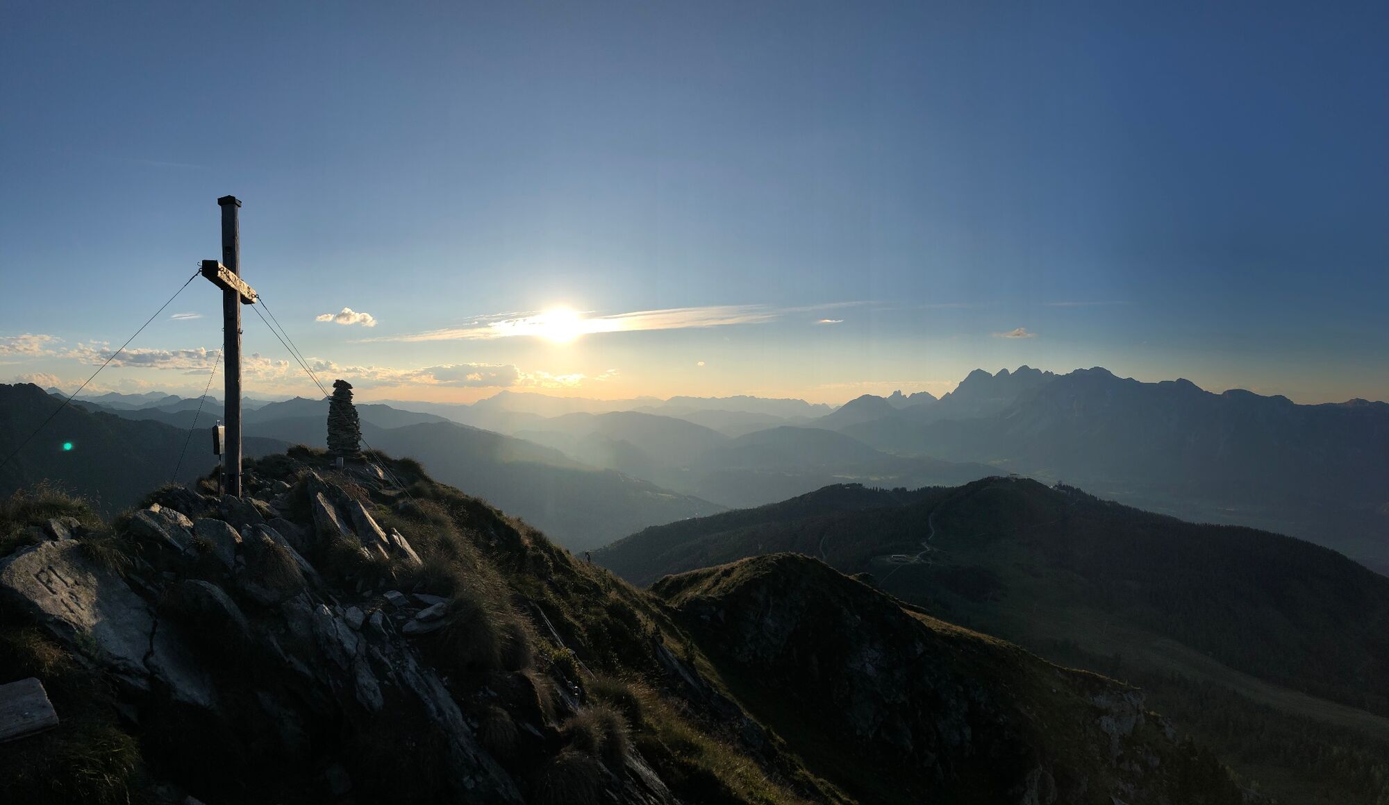
This summit hike lends itself well as a short morning or afternoon hike. On the summit, surefootedness and a head for heights are a must. The views from the Krahbergzinken are unforgettable.
- Difficulté
-
moyen
- Évaluation
-
- Parcours
-
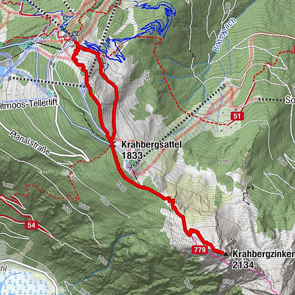
Uschi's Bründl0,5 kmKrahbergsattel (1.833 m)1,0 kmKrahbergzinken (2.134 m)2,7 kmKrahbergsattel (1.833 m)4,3 kmPlanai (1.906 m)4,9 km
- Meilleure saison
-
janv.févr.marsavrilmaijuinjuil.aoûtsept.oct.nov.déc.
- Hauteur maximale
- 2.105 m
- Point de mire
-
Hiking trail head Planai
- Profil en hauteur
-


-

-
AuteurLa randonnée Up the Krahbergzinken est utilisé par outdooractive.com fourni par.
GPS Downloads


Informations générales
Point de rassemblement
Prometteur
Autres parcours dans les régions
-
Schladming - Dachstein
3001
-
Schladming - Rohrmoos
1478
-
Schladming
467


