

© TV Gesäuse - Tourismusverband Gesäuse

© TV Gesäuse - Tourismusverband Gesäuse

© TV Gesäuse - Tourismusverband Gesäuse

© TV Gesäuse - Tourismusverband Gesäuse

© TV Gesäuse - Tourismusverband Gesäuse

© TV Gesäuse - Tourismusverband Gesäuse

© TV Gesäuse - Tourismusverband Gesäuse

© TV Gesäuse - Tourismusverband Gesäuse

© TV Gesäuse - Tourismusverband Gesäuse

© TV Gesäuse - Tourismusverband Gesäuse


- Brève description
-
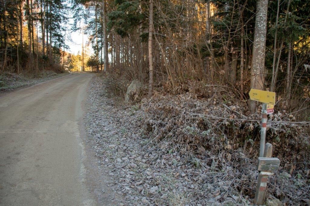
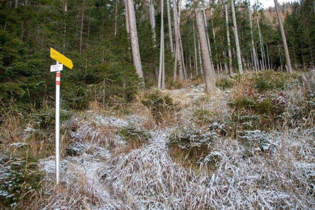
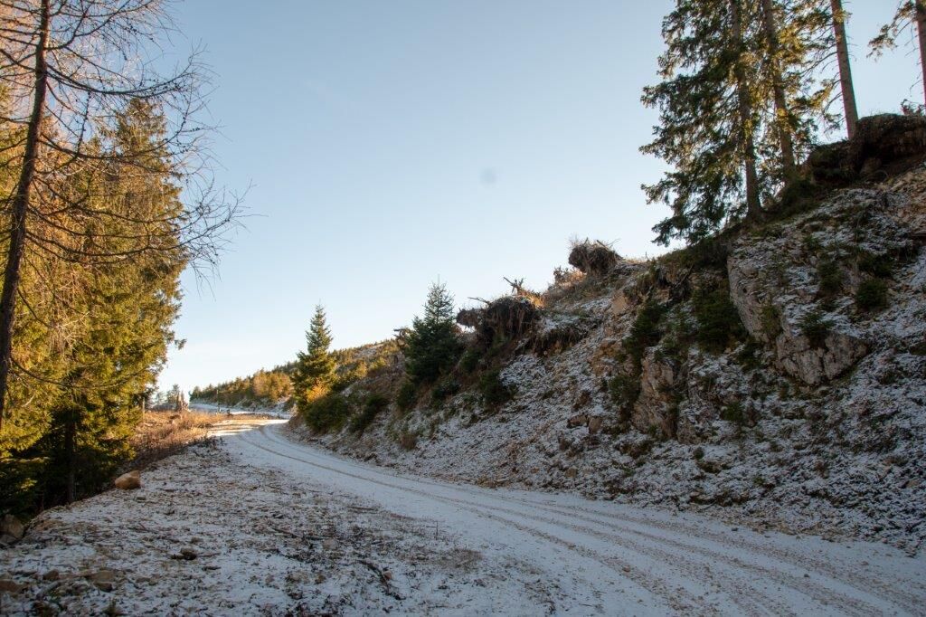
The tour on the Hohe Trett is undoubtedly an insider tip among the locals of the Enns Valley.
Especially the north-facing stone ascent is very varied and lonely!
The peak to the east of Aigen in the Ennstal belongs to the Rottenmanner and Wölzer Tauern.
- Difficulté
-
moyen
- Évaluation
-
- Parcours
-
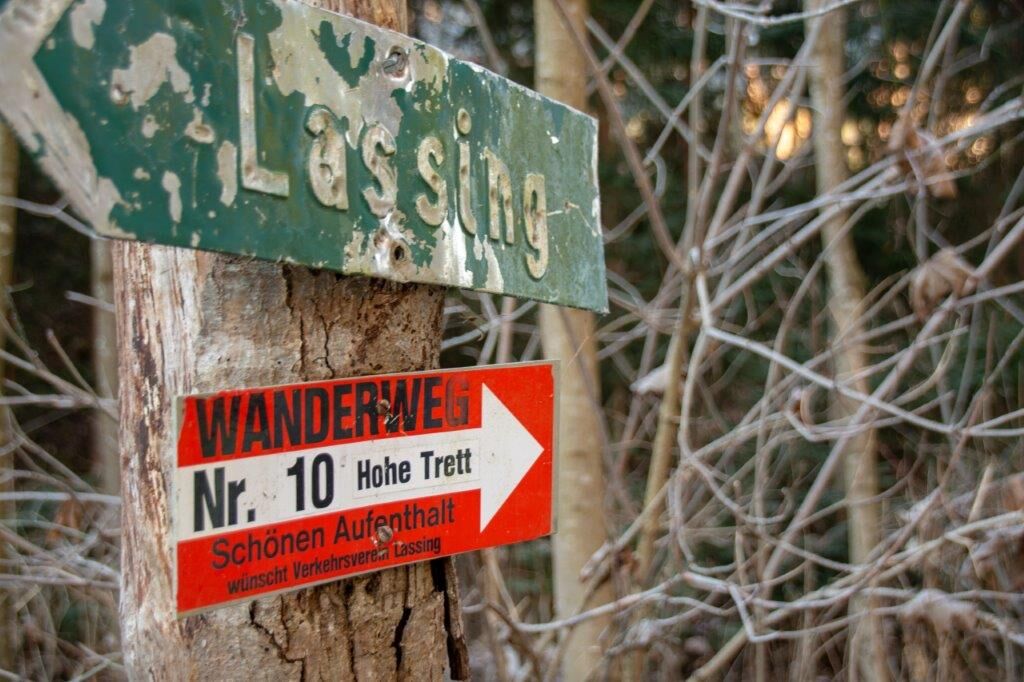
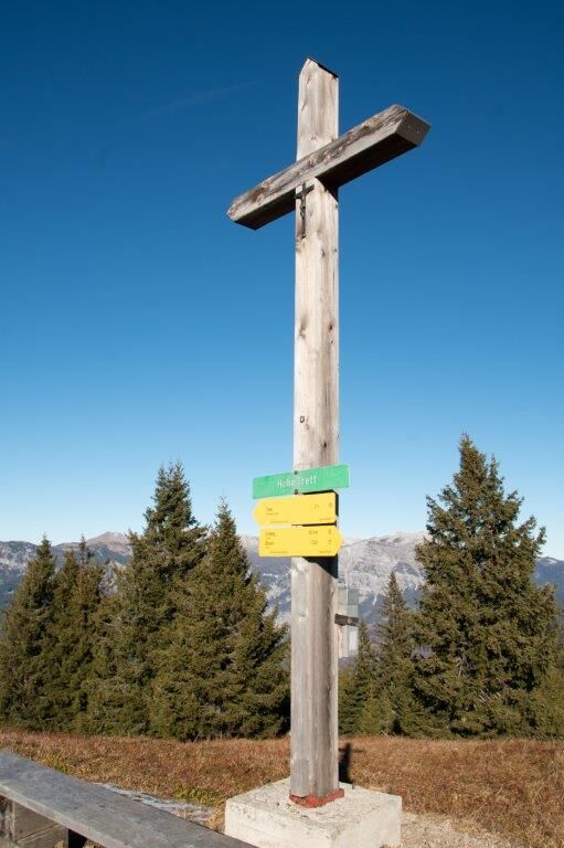
Stein0,3 kmSchattenberg1,1 kmHohe Trett (1.681 m)7,2 kmSchattenberg12,7 kmStein13,6 km
- Meilleure saison
-
janv.févr.marsavrilmaijuinjuil.aoûtsept.oct.nov.déc.
- Hauteur maximale
- 1.671 m
- Point de mire
-
Stein
- Profil en hauteur
-


-

-
AuteurLa randonnée Hohe Trett / Stein est utilisé par outdooractive.com fourni par.
GPS Downloads


Autres parcours dans les régions
-
Gesäuse
2228
-
Grimming - Donnersbachtal
976
-
Liezen
317


