Circular hike to the Alpine Garden and across the Reiterer Plateau

Randonnée


- Brève description
-
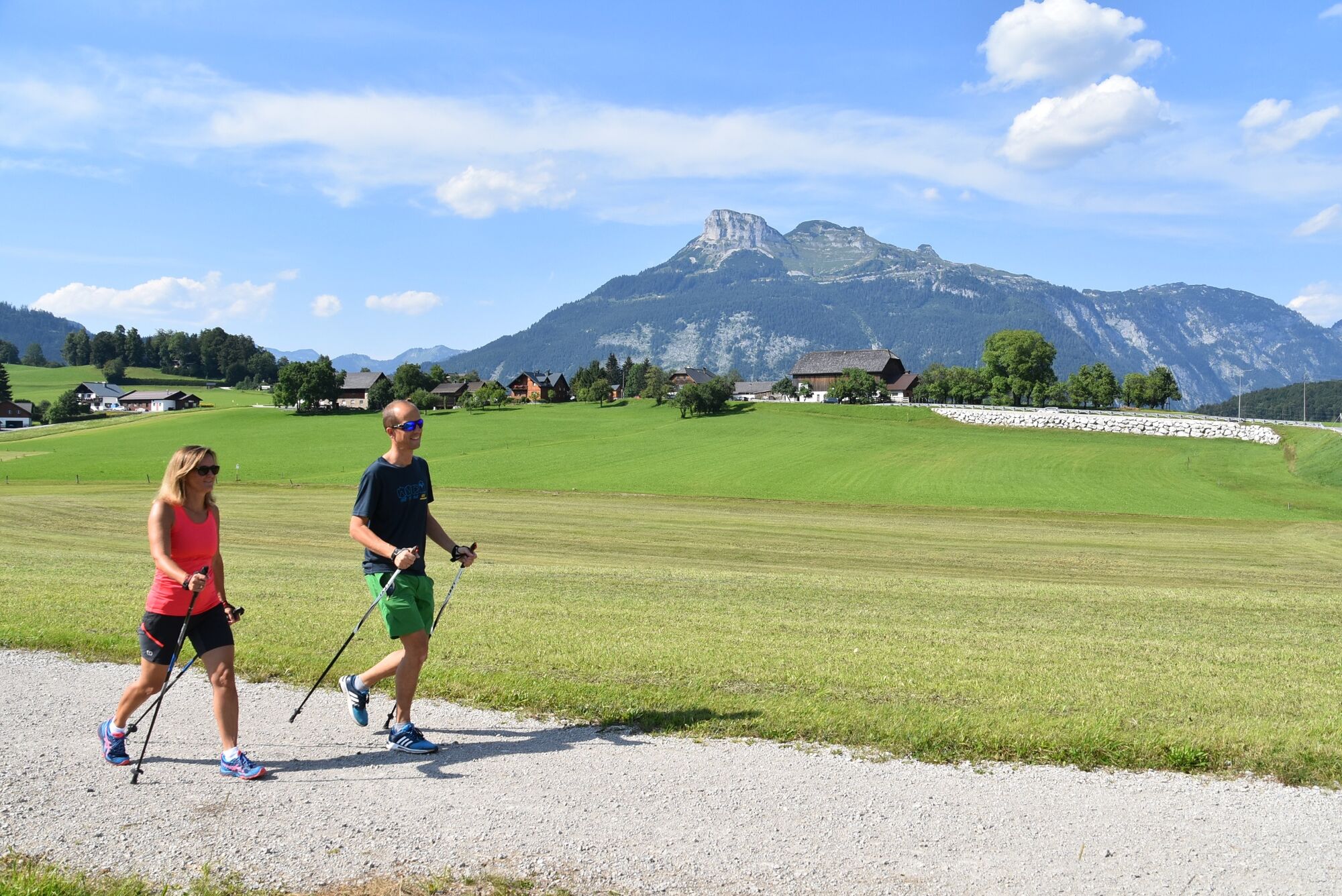
Beautiful circular hike to the Alpine Garden and over the Reiterer Plateau back to the town center.
- Difficulté
-
moyen
- Évaluation
-
- Parcours
-
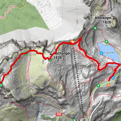
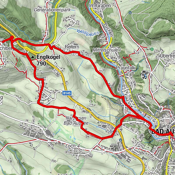
Bad Aussee (659 m)0,0 kmReitern2,1 kmIschlberg3,8 kmVogelbichl3,9 kmBad Aussee (659 m)7,4 km
- Meilleure saison
-
janv.févr.marsavrilmaijuinjuil.aoûtsept.oct.nov.déc.
- Hauteur maximale
- 795 m
- Point de mire
-
Spa Park Bad Aussee
- Profil en hauteur
-


- Auteur
-
La randonnée Circular hike to the Alpine Garden and across the Reiterer Plateau est utilisé par outdooractive.com fourni par.
GPS Downloads


Informations générales
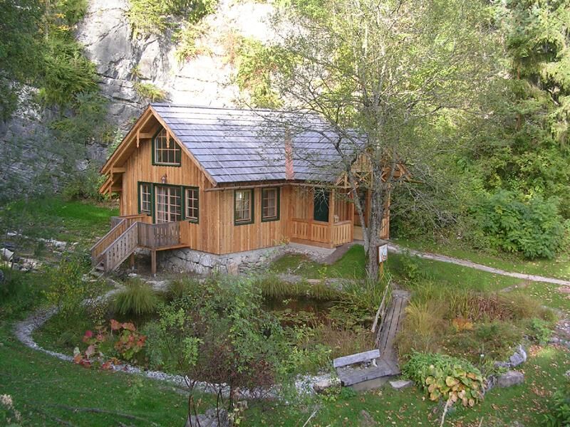
Culturel/Historiquement
Flore
Prometteur
Autres parcours dans les régions
-
Ausseerland - Salzkammergut
3382
-
Dachstein Salzkammergut
1701
-
Bad Aussee
292