

© www.hauser-kaibling.at - Hauser Kaibling

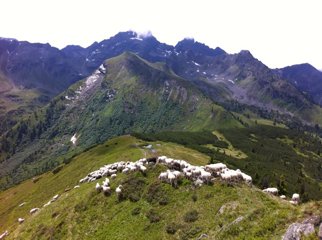
© Unbekannt - Verein Schaferlebnis am Hauser Kaibling

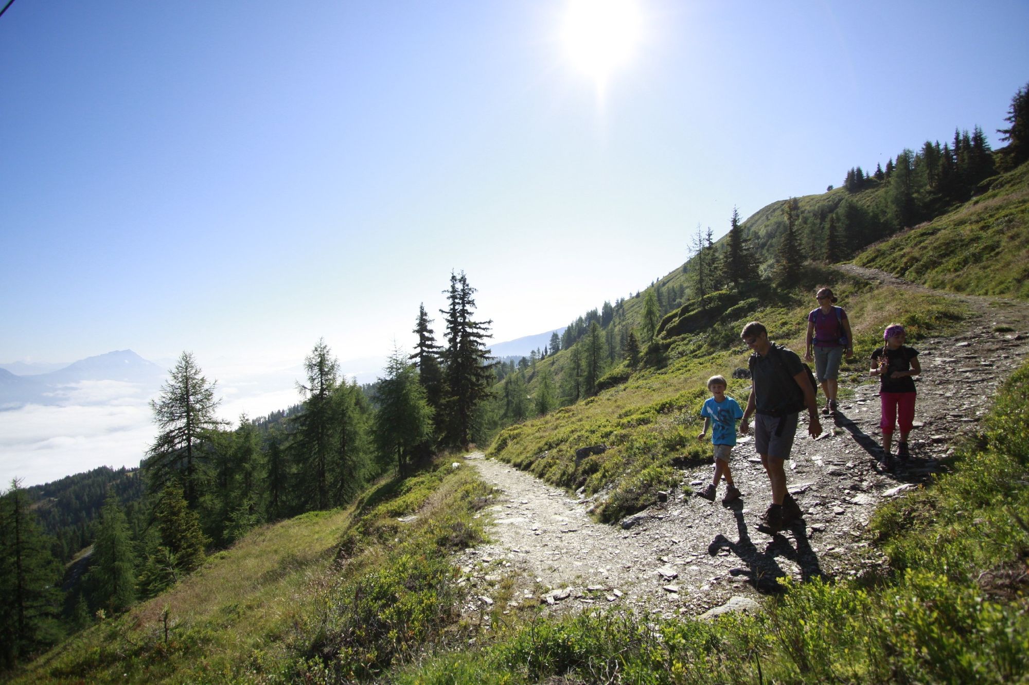
© Herbert Raffalt - Tourismusverband Haus-Aich-Gössenberg

© Unbekannt - Verein Schaferlebnis am Hauser Kaibling

© Unbekannt - Verein Schaferlebnis am Hauser Kaibling

- Brève description
-
Hike to an often " unnoticed" summit of the Schladming Tauern with stunning panoramic views of the Enns Valley .
- Difficulté
-
moyen
- Évaluation
-
- Parcours
-
Berggasthof ScharfetterTOMiziel0,0 kmRossfeldsattel (1.877 m)2,8 kmBärfallspitze (2.150 m)3,7 kmSeeschartl (2.070 m)4,1 kmHarrys Alm6,1 kmKrummholzhütte7,3 kmBerggasthof Scharfetter7,3 kmTOMiziel7,4 km
- Meilleure saison
-
janv.févr.marsavrilmaijuinjuil.aoûtsept.oct.nov.déc.
- Hauteur maximale
- 2.144 m
- Point de mire
-
Top station cable car
- Profil en hauteur
-


-
-
AuteurLa randonnée Mountain tour at the Bärfallspitze est utilisé par outdooractive.com fourni par.
GPS Downloads


Informations générales
Point de rassemblement
Flore
Faune
Prometteur
Autres parcours dans les régions
-
Schladming - Dachstein
3001
-
Haus - Aich
1364
-
Haus im Ennstal
366


