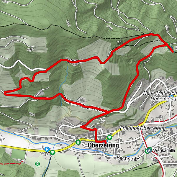
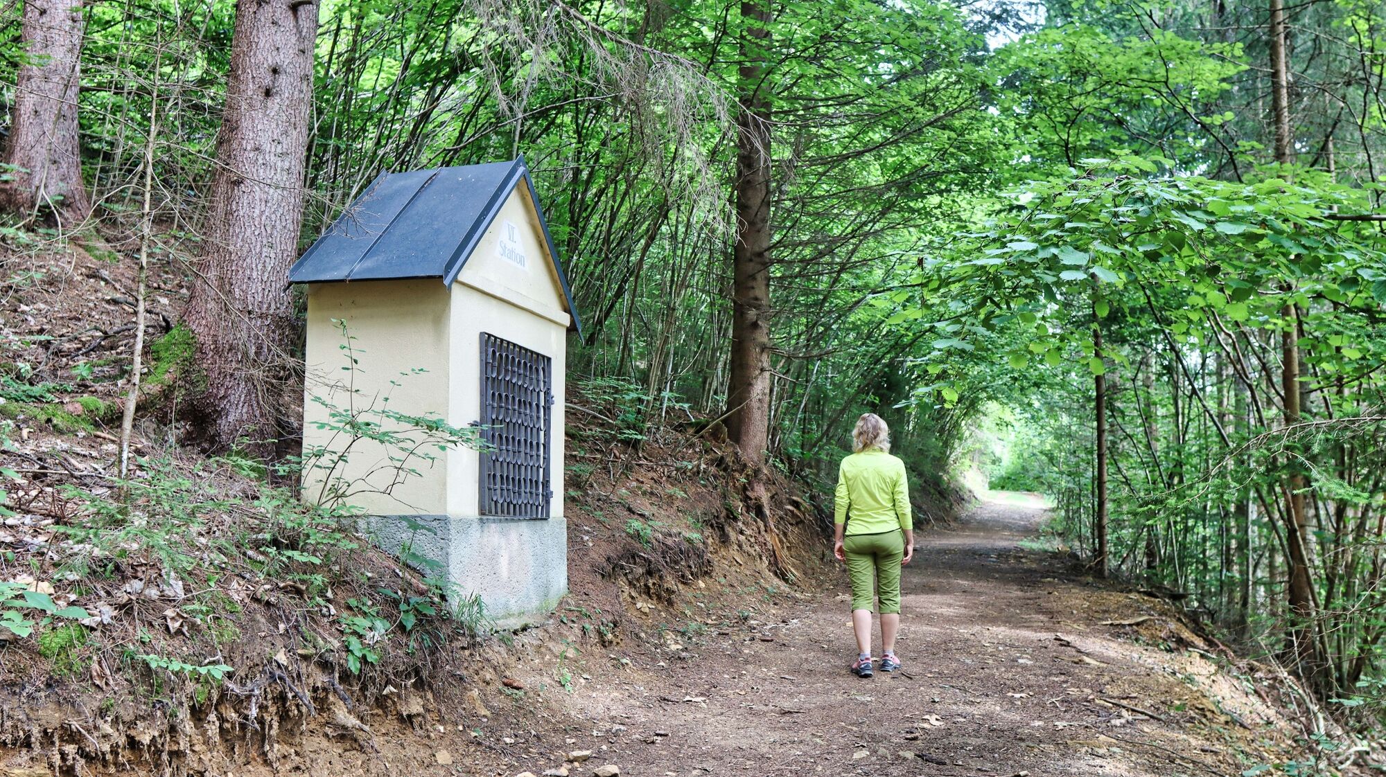
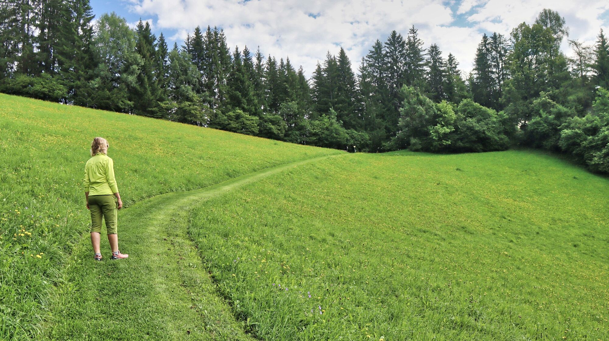
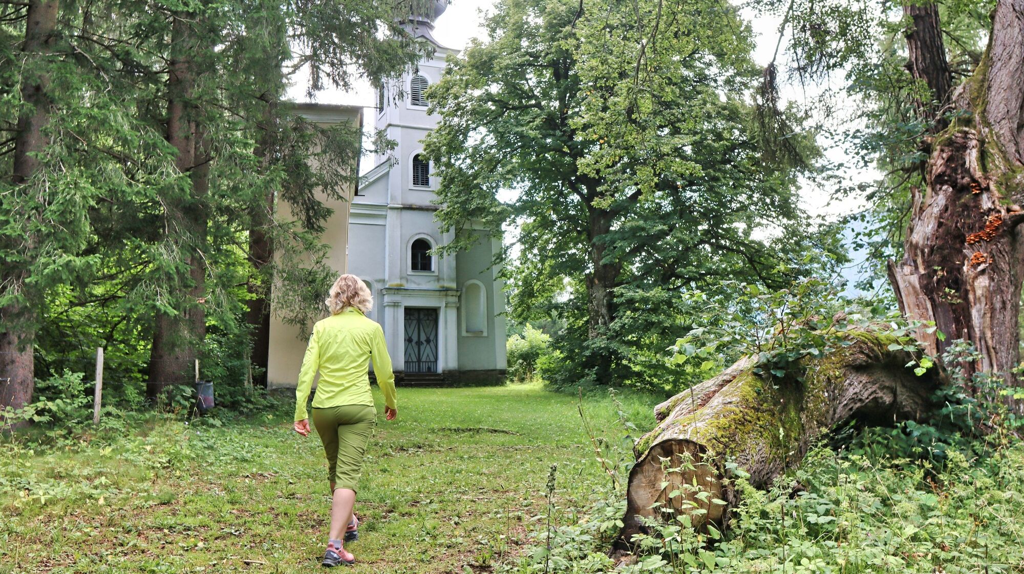
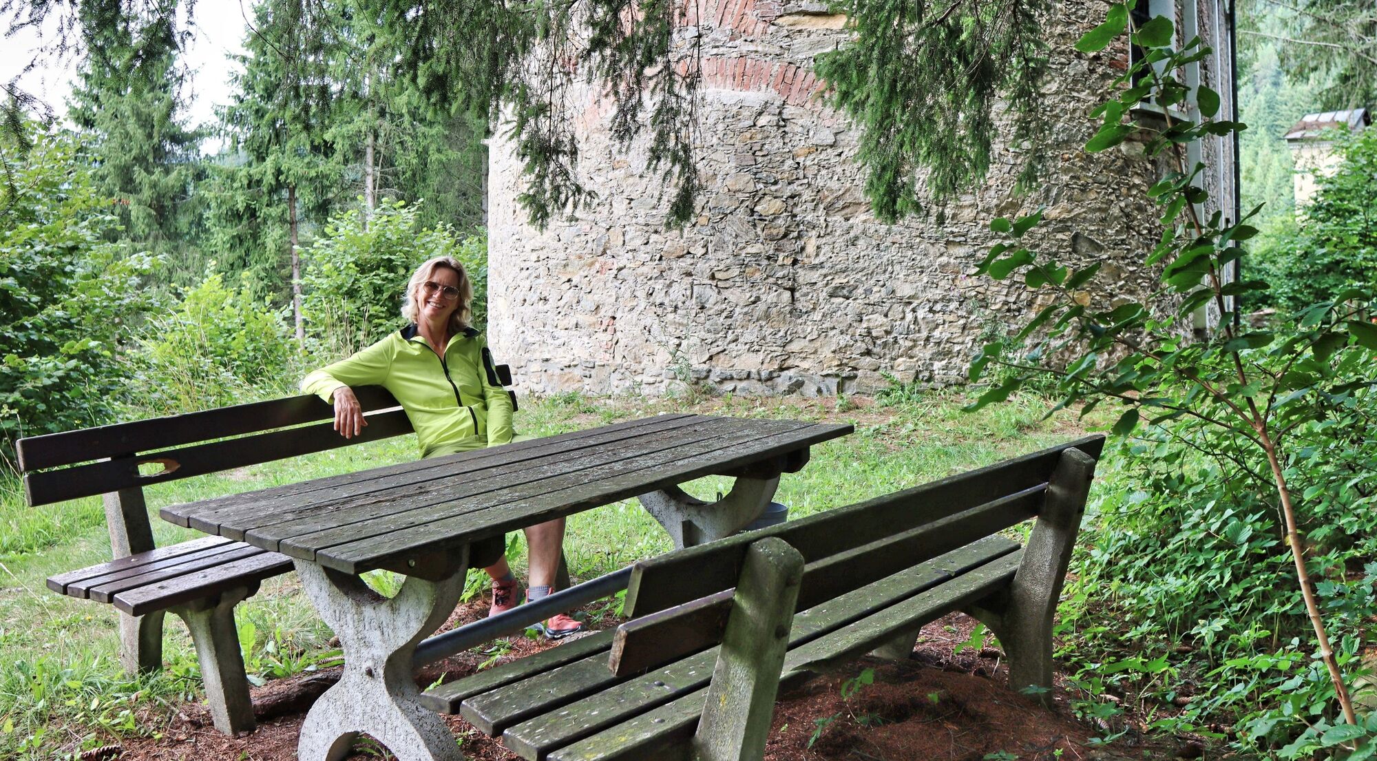
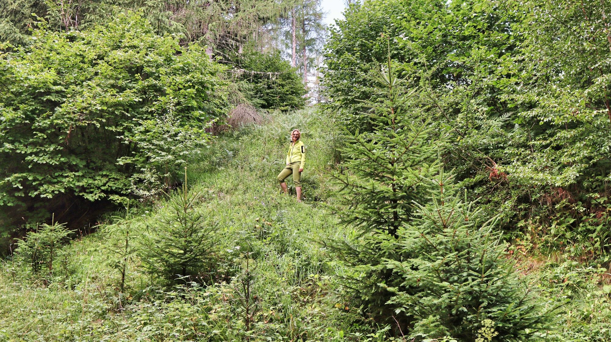
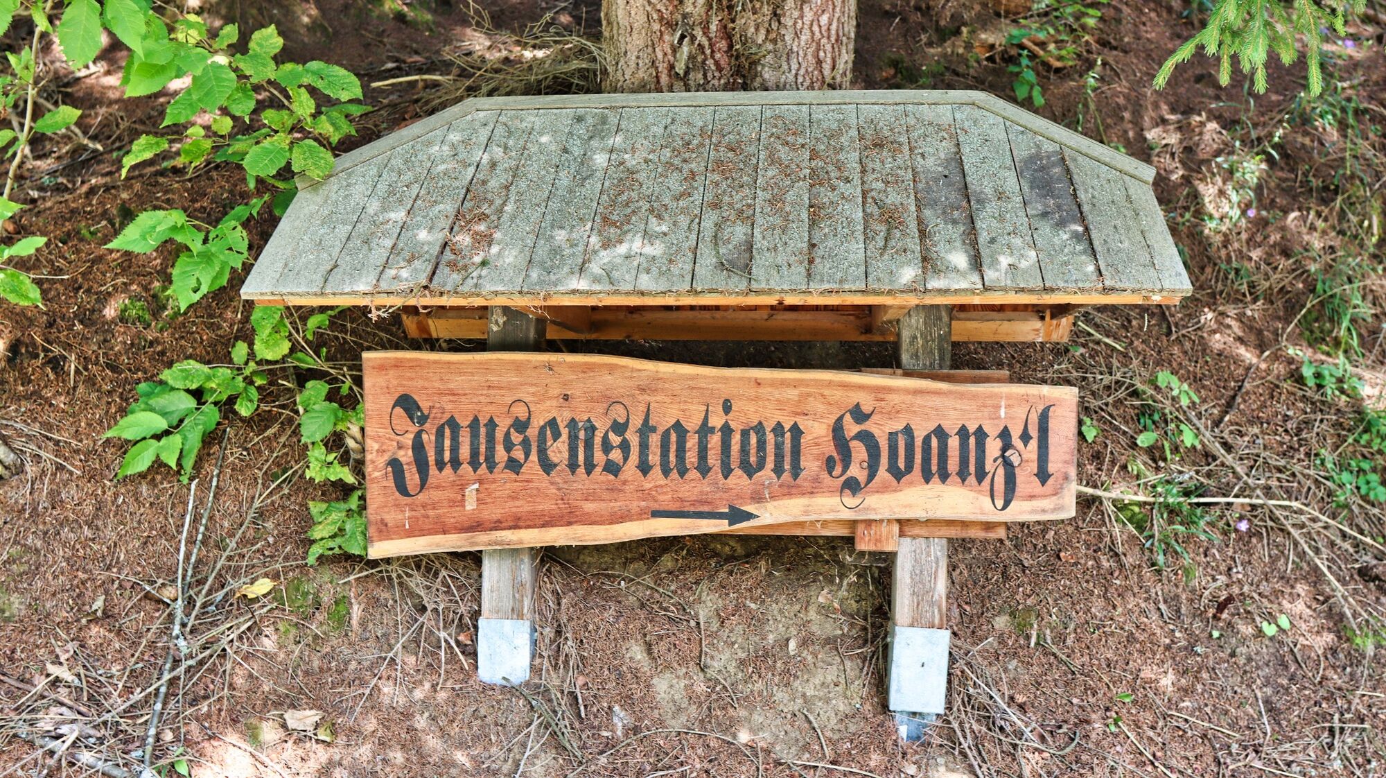
Circular hiking trail to the Kalvarienberg church and the Hoanzl snack station

Randonnée

© Weges OG

© Weges OG

© Weges OG

© Weges OG

© Weges OG

© Weges OG

© Weges OG

© Weges OG

© Weges OG

© Weges OG

- Brève description
-
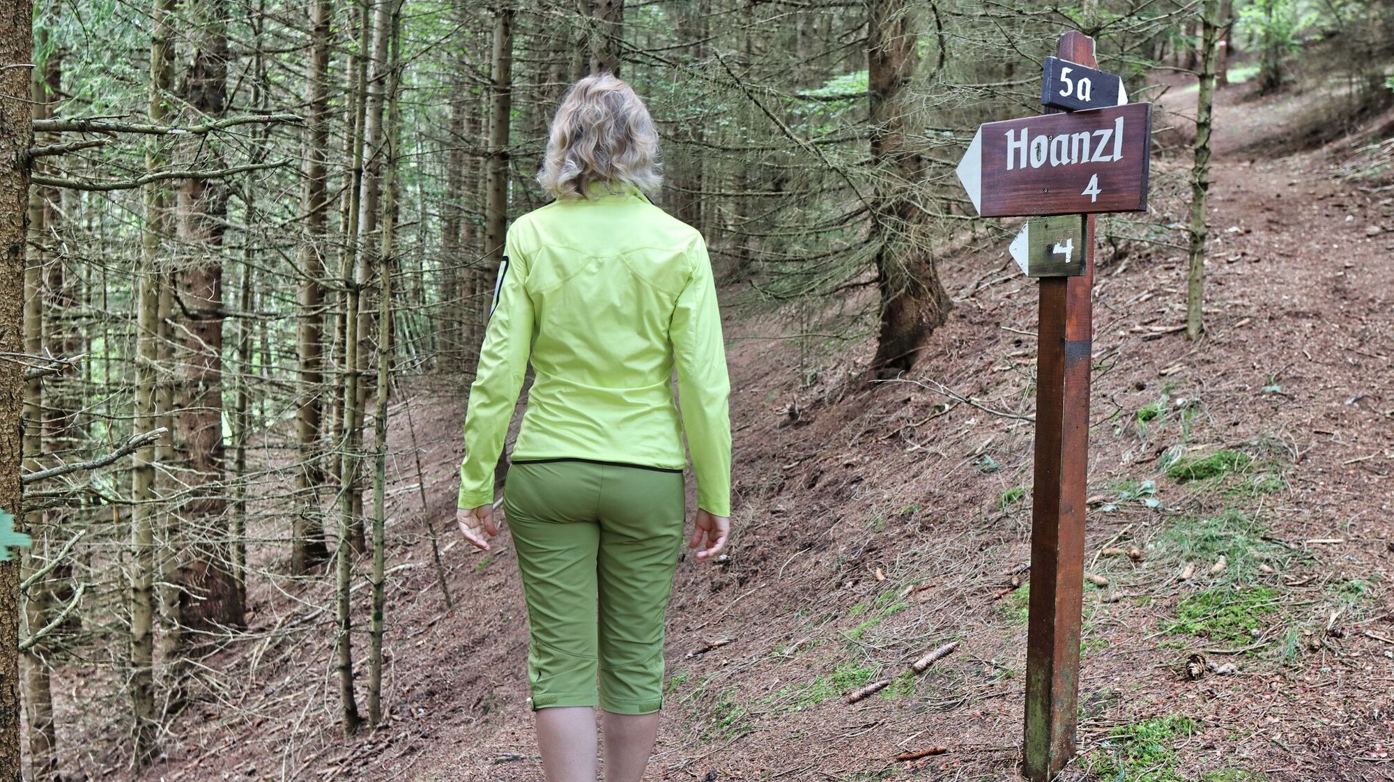
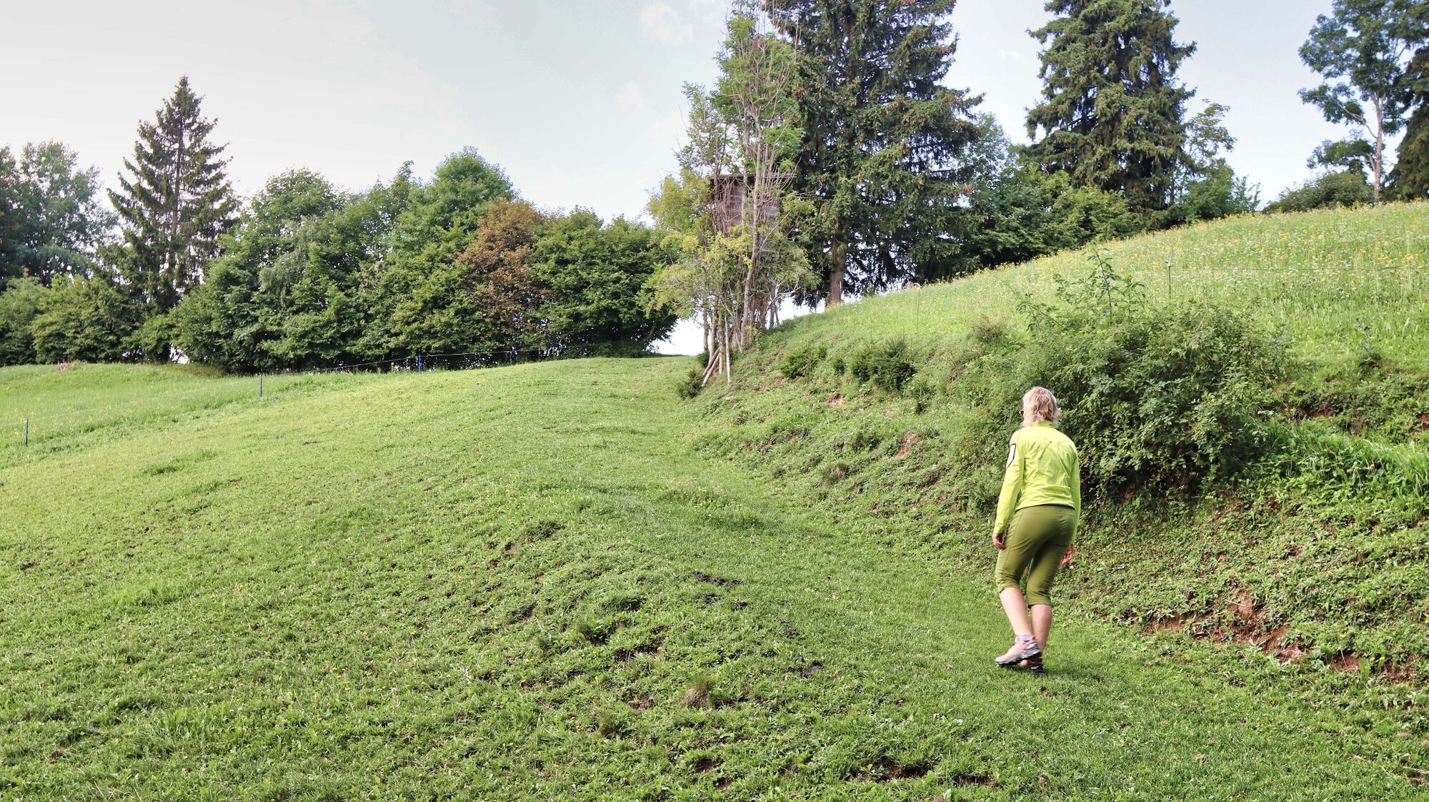
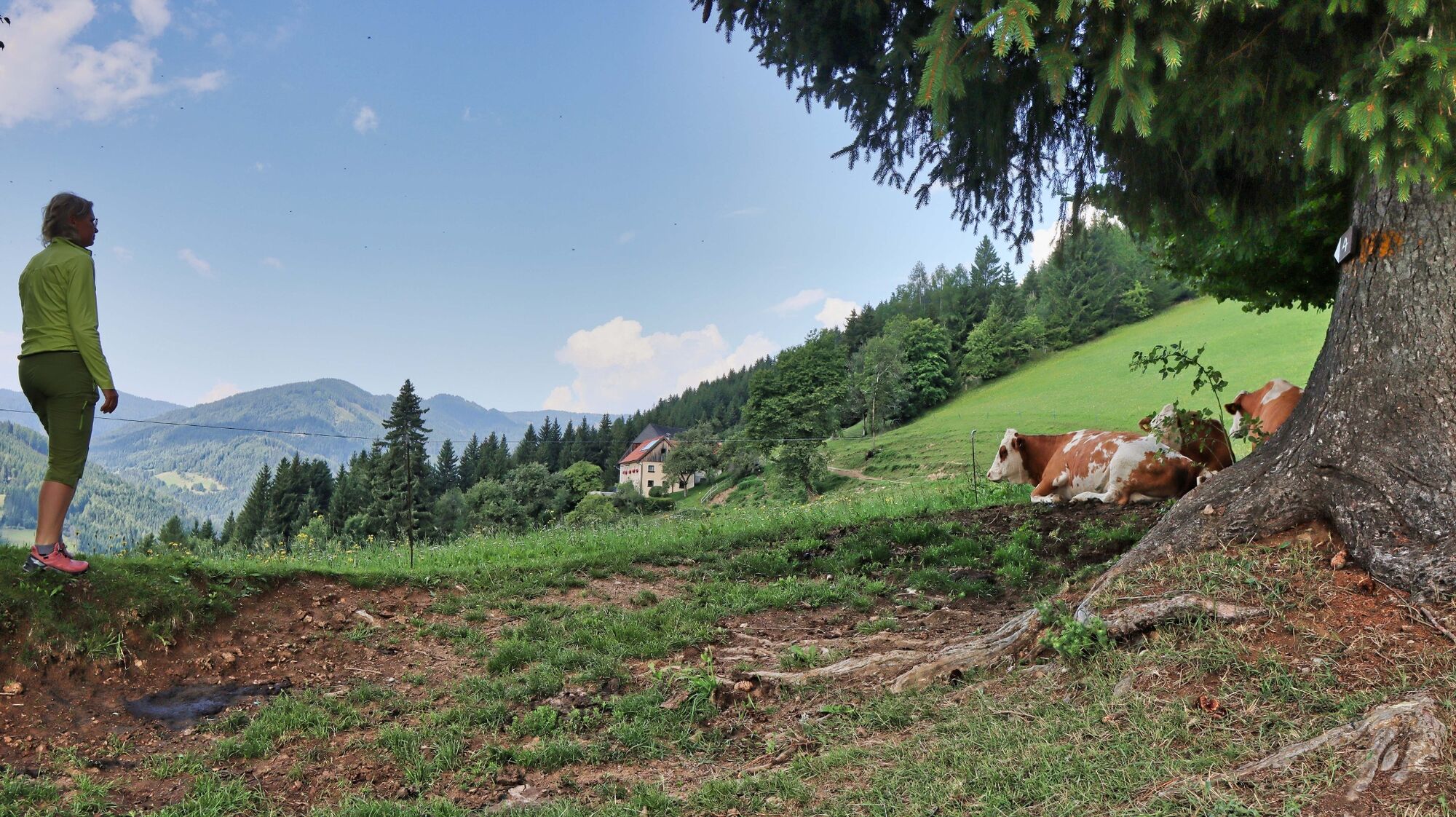
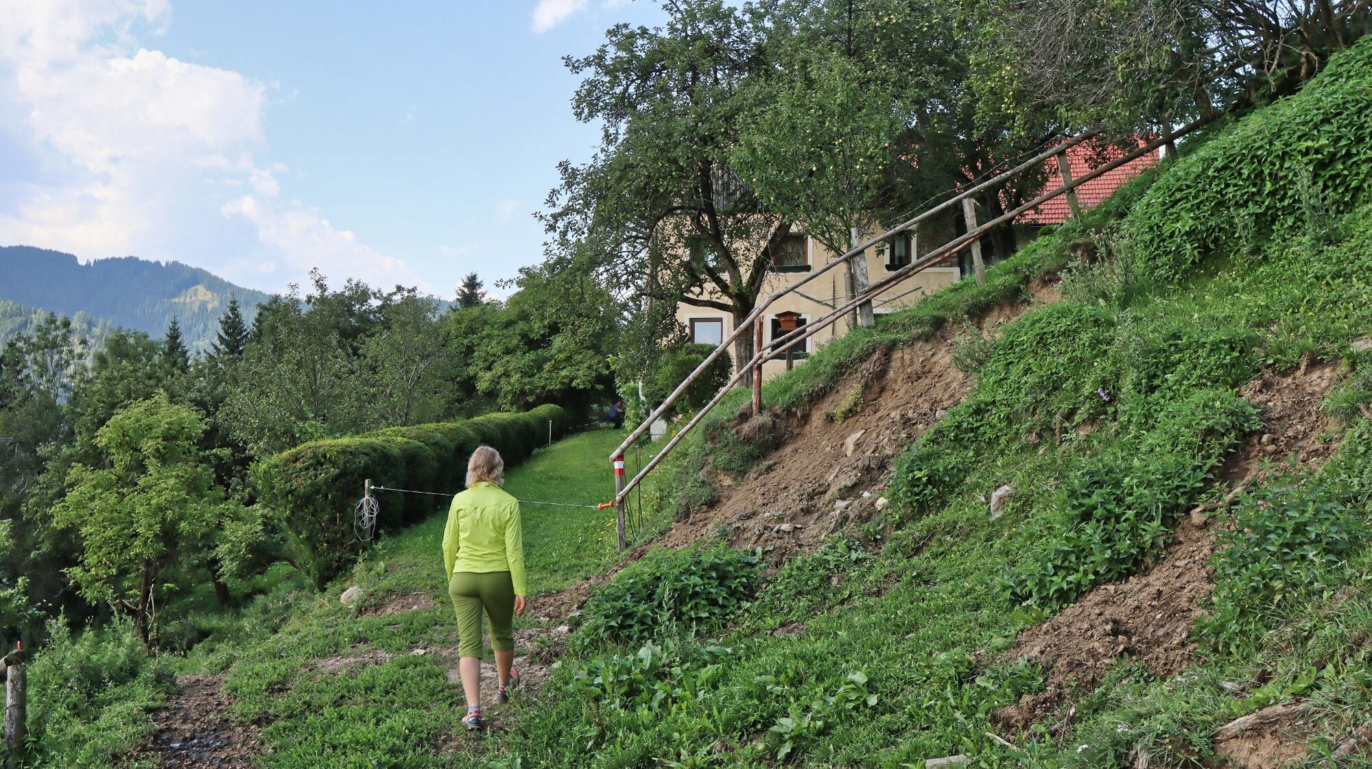
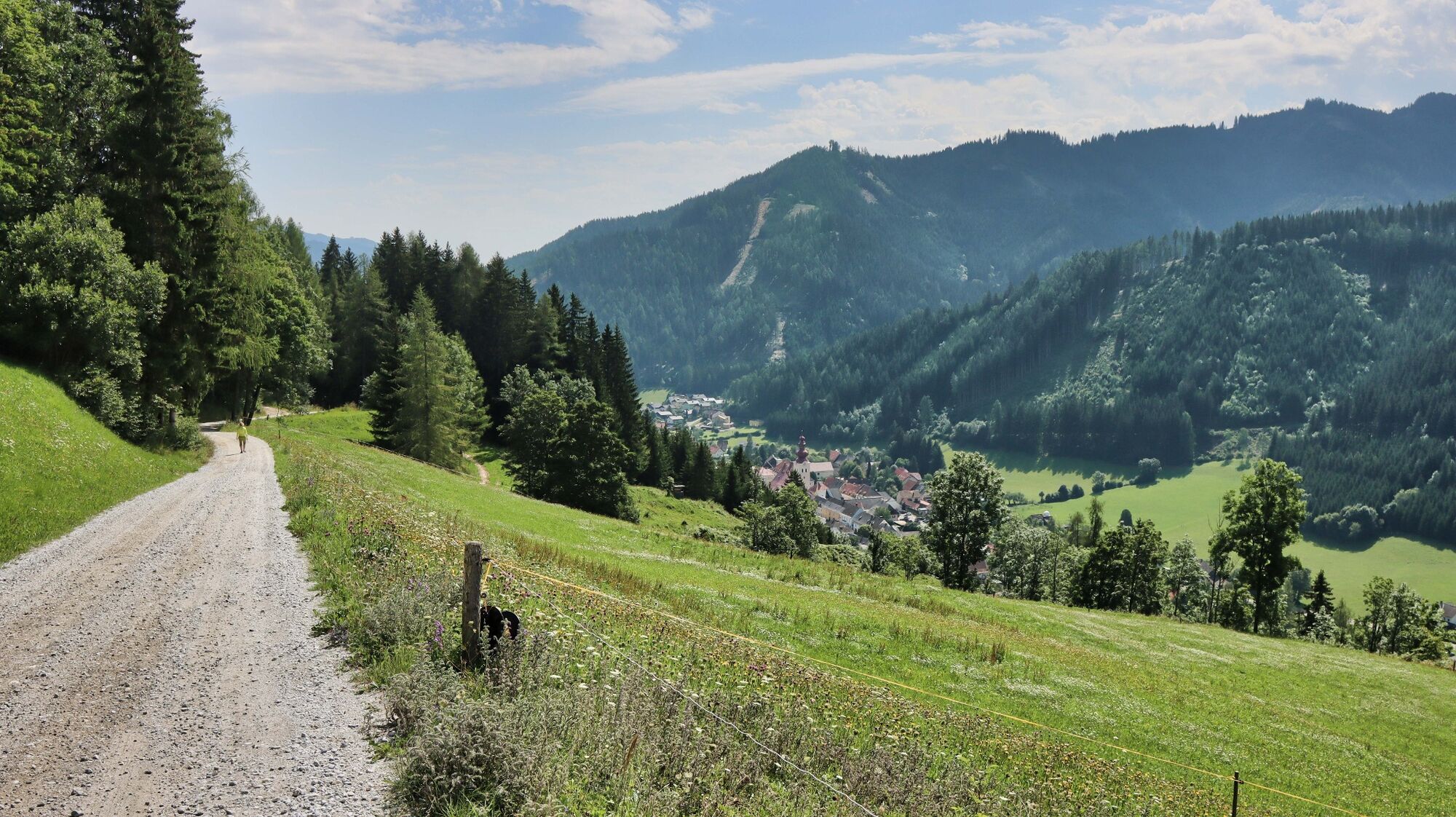
The circular hiking trail no. 4 leads along well-marked hiking trails to the Kalvarienberg church and on to the Hoanzl snack station. A leisurely hike for the whole family.
- Difficulté
-
facile
- Évaluation
-
- Parcours
-
Gasthaus Zum Grüner Specht0,0 kmKalvarienbergkirche1,3 kmOberzeiring4,2 kmPfarrkirche St. Nikolaus4,2 km
- Meilleure saison
-
janv.févr.marsavrilmaijuinjuil.aoûtsept.oct.nov.déc.
- Hauteur maximale
- 1.131 m
- Point de mire
-
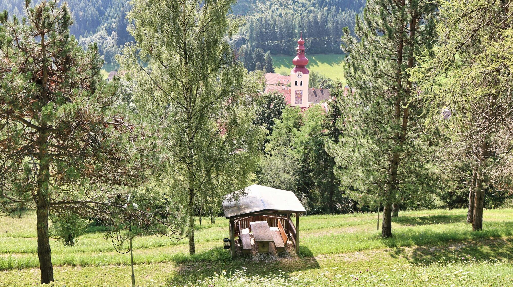
Village center in Oberzeiring
- Profil en hauteur
-


- Auteur
-
La randonnée Circular hiking trail to the Kalvarienberg church and the Hoanzl snack station est utilisé par outdooractive.com fourni par.
GPS Downloads


Informations générales
Point de rassemblement
Autres parcours dans les régions