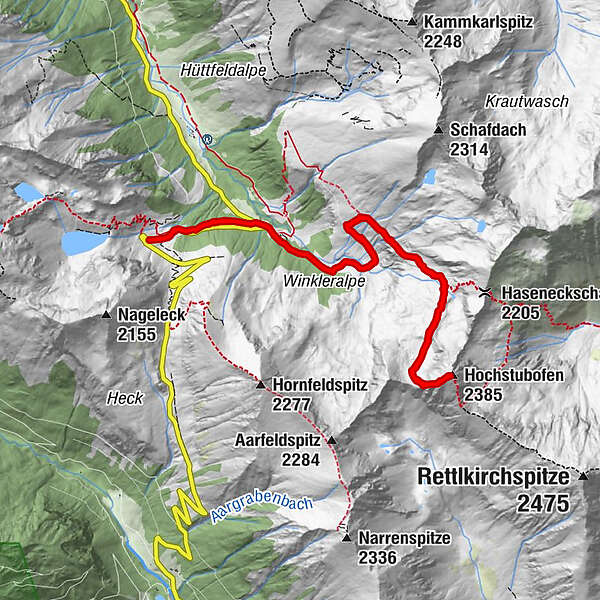
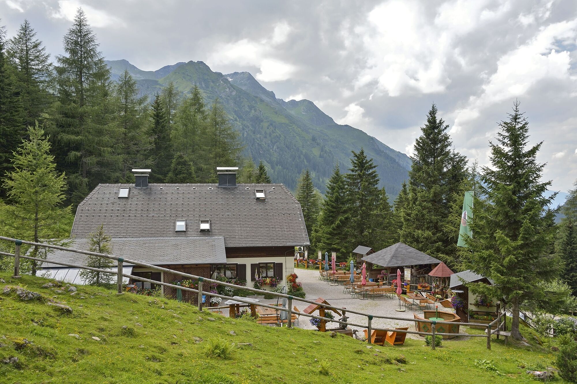
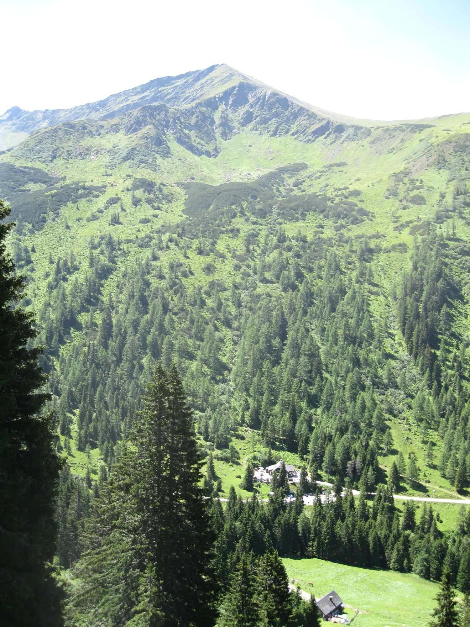
From the Erzherzog Johann Hütte to the Hochstubofen

Randonnée

© Fotograf: Volkhard Maier

© Fotograf: Herfried Marek

© Erlebnisregion Schladming-Dachstein - Schladming Dachstein

© Erlebnisregion Schladming-Dachstein - Schladming Dachstein

© Erlebnisregion Schladming-Dachstein - Schladming Dachstein

© Fotograf: Volkhard Maier

© Fotograf: Volkhard Maier

© Erlebnisregion Schladming-Dachstein - Schladming Dachstein

© Fotograf: Volkhard Maier

© Fotograf: Volkhard Maier
- Brève description
-
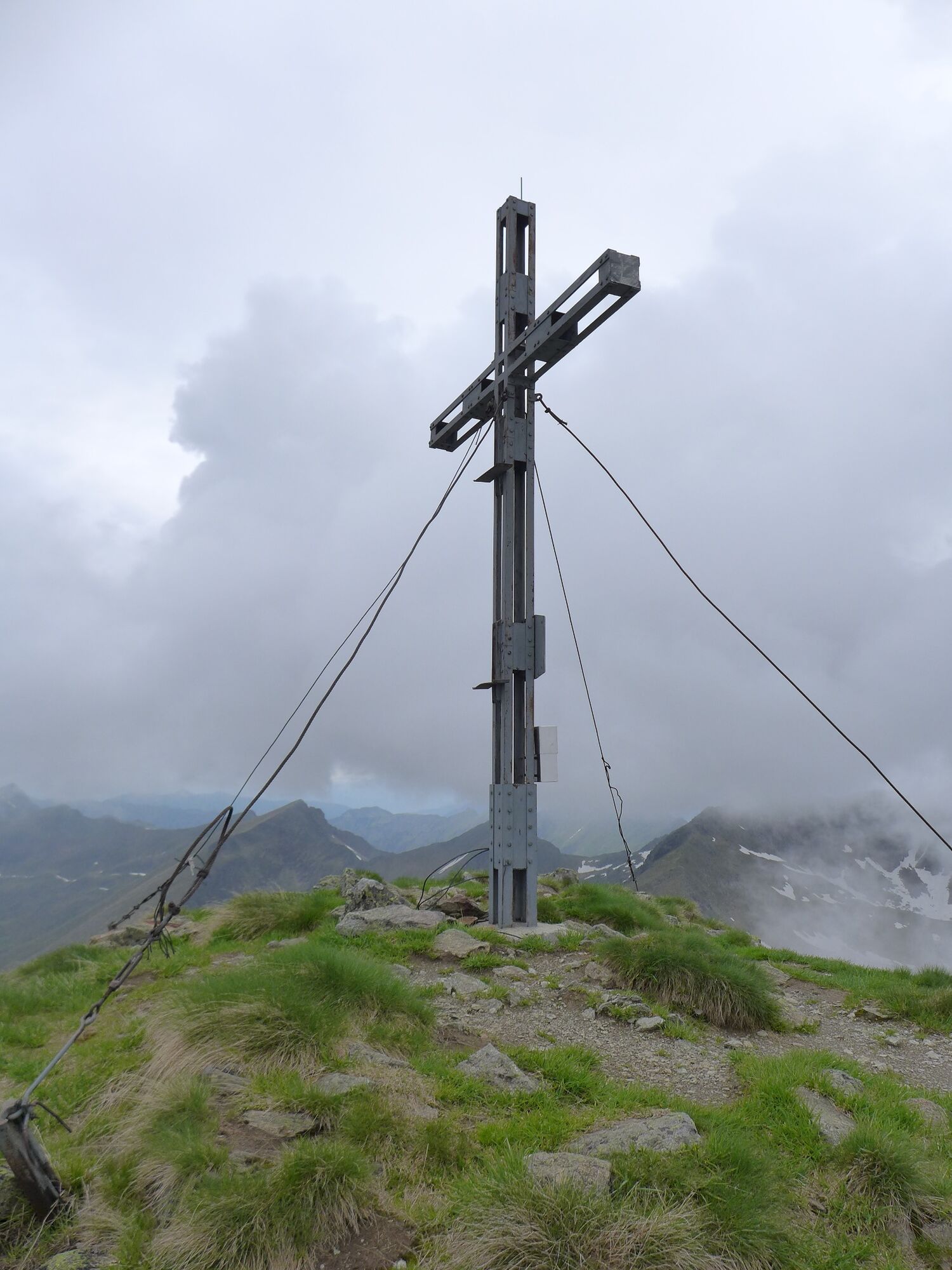
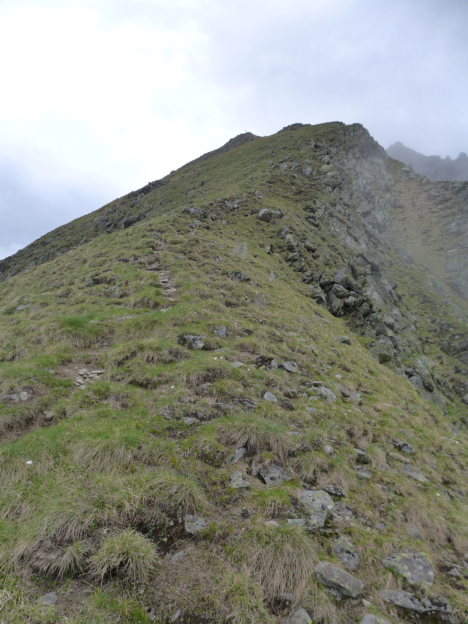
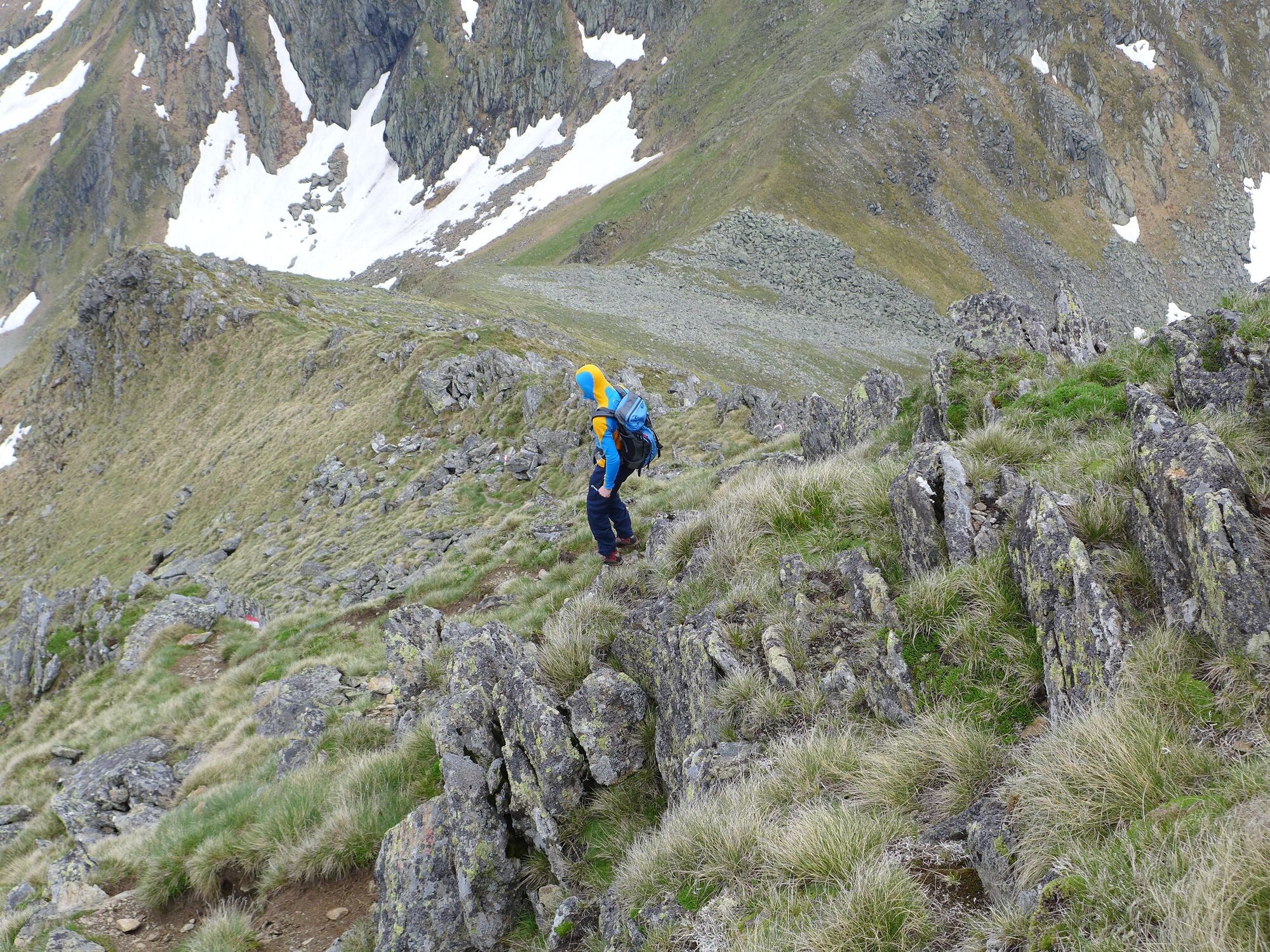
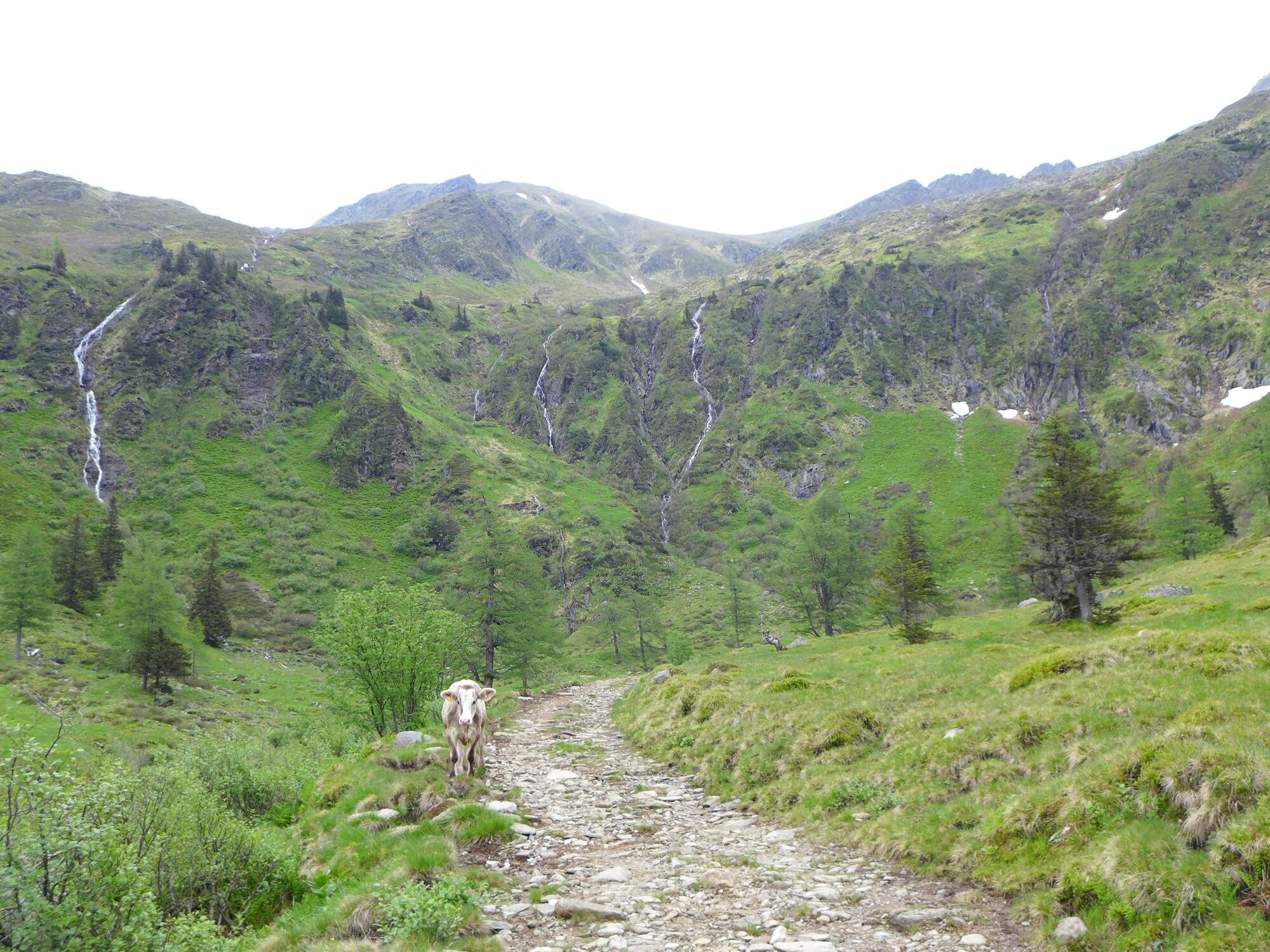
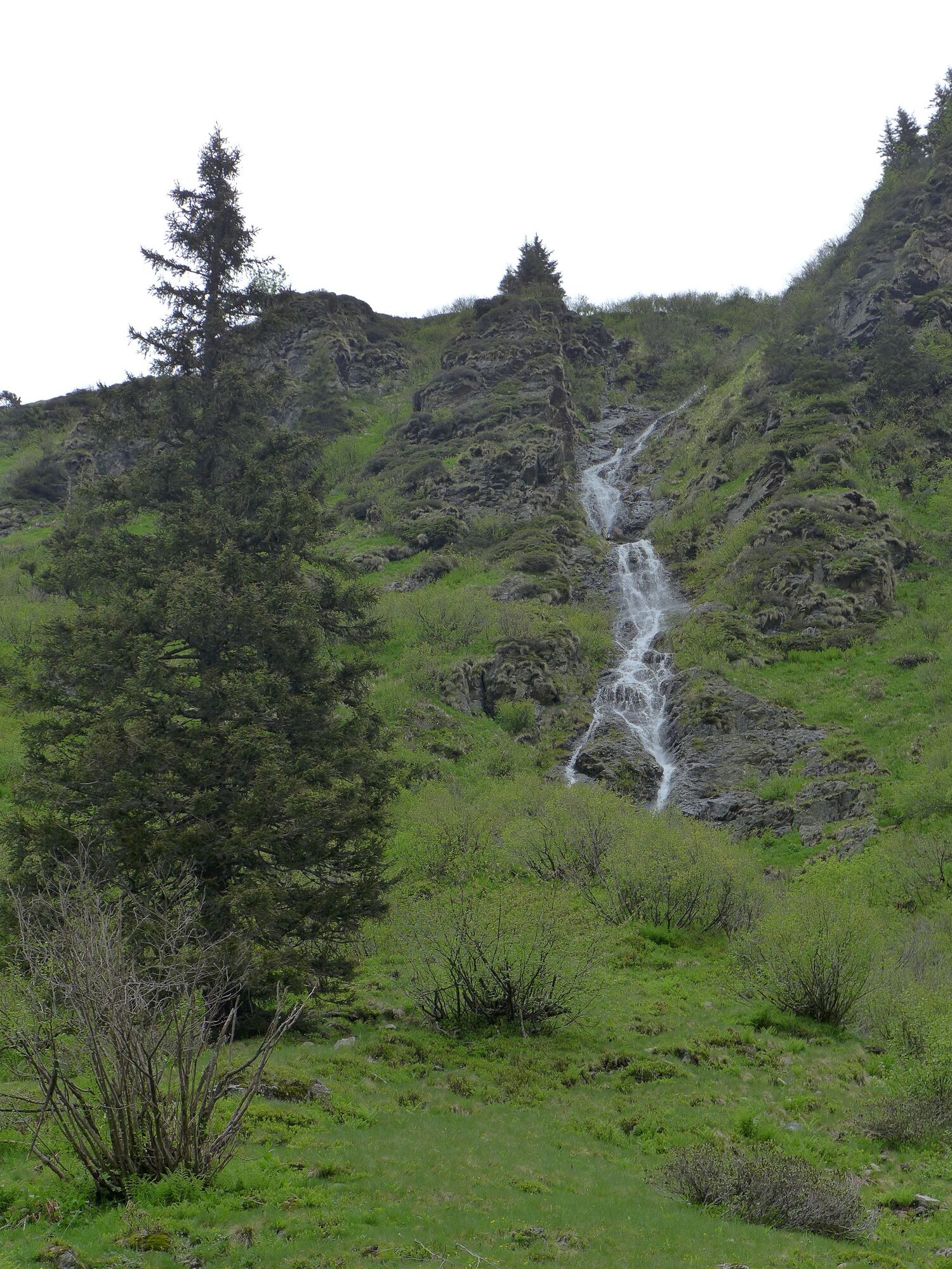
Enchanting summit tour to the border between the Schladminger and Wölzer Tauern, traverse to the Murtal side and down into the Eselsberggraben.
- Difficulté
-
moyen
- Évaluation
-
- Parcours
-
Erzherzog-Johann-Hütte1,2 kmHochstubofen (2.385 m)5,4 kmErzherzog-Johann-Hütte9,5 km
- Meilleure saison
-
janv.févr.marsavrilmaijuinjuil.aoûtsept.oct.nov.déc.
- Hauteur maximale
- 2.359 m
- Point de mire
-
Hochstubofen
- Profil en hauteur
-


- Auteur
-
La randonnée From the Erzherzog Johann Hütte to the Hochstubofen est utilisé par outdooractive.com fourni par.
GPS Downloads


Informations générales
Point de rassemblement
Flore
Faune
Prometteur
Autres parcours dans les régions


