

© Gerhard Pilz

© Gerhard Pilz - www.gpic.at - Gerhard Pilz

© Fotograf Herfried Marek - Schladming Dachstein - TVB Sölktäler

© (c) Herfried Marek - Herfried Marek

© Erlebnisregion Schladming-Dachstein - Schladming Dachstein

© Fotograf Herfried Marek - Schladming Dachstein - TVB Sölktäler

© Gerhard Pilz

© Fotograf: Volkhard Maier - Schladming Dachstein

© Erlebnisregion Schladming-Dachstein - Schladming Dachstein

© Erlebnisregion Schladming-Dachstein - Schladming Dachstein
- Brève description
-
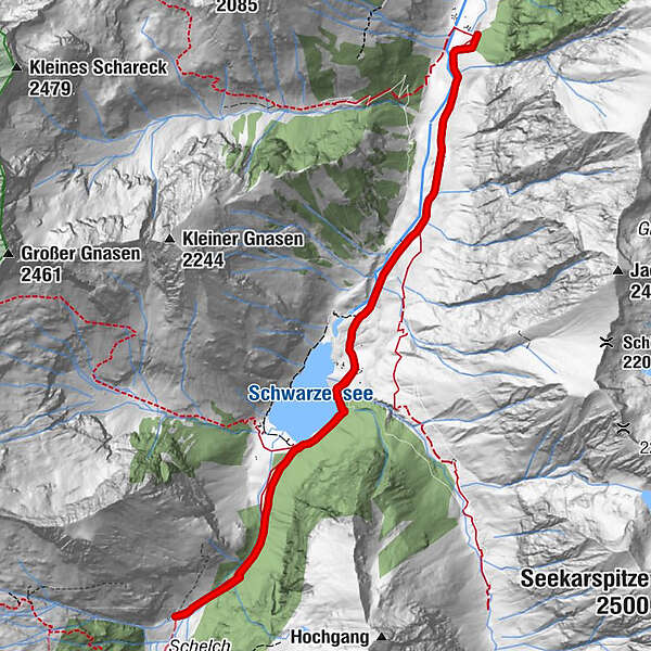
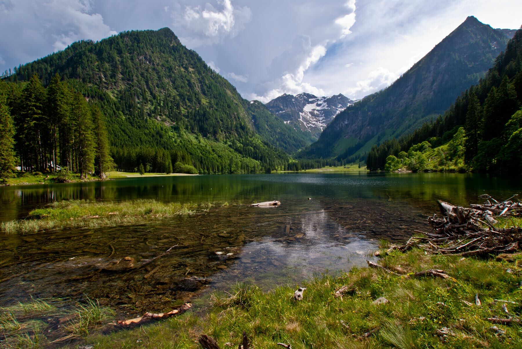
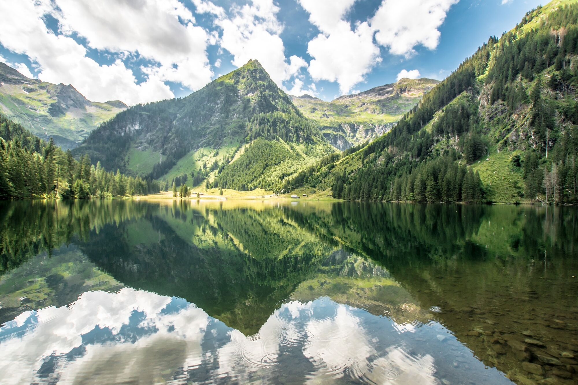
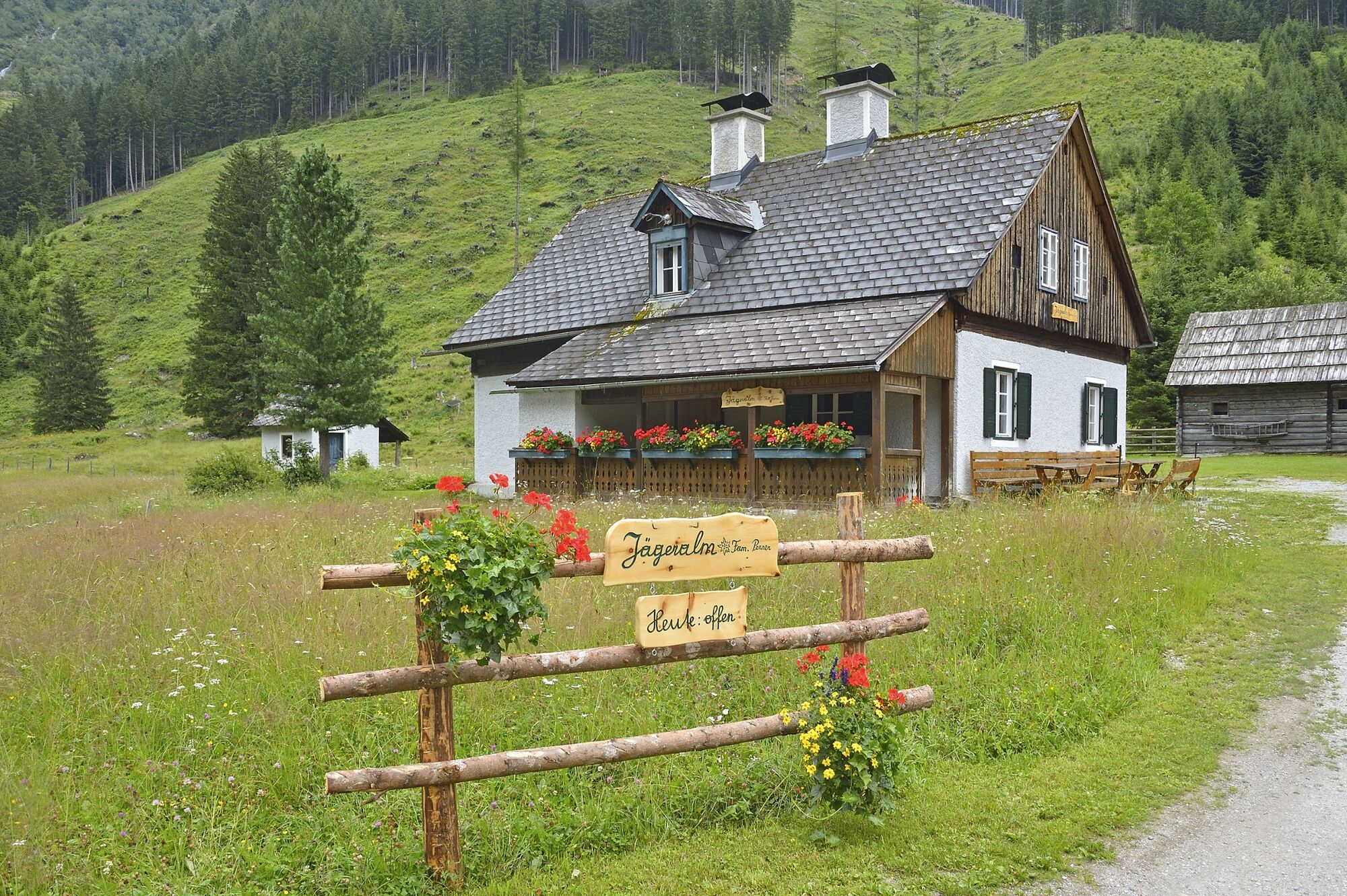
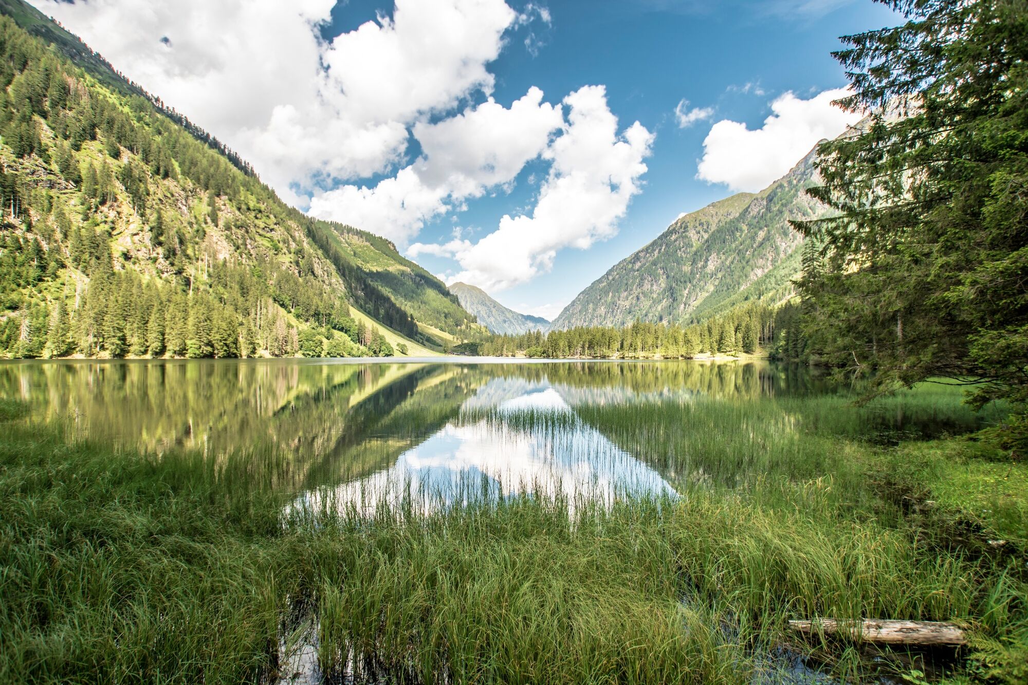
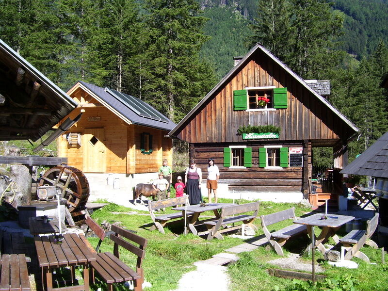
An easy but very varied hike takes us from the Breitlahnhütte in the Kleinsölktal to the Schwarzensee and on to the Putzentalalm. Beautiful family hike with water show path and numerous petting animals at the Putzentalalm.
The western shore of the Schwarzensee is closed due to danger of falling rocks!
- Difficulté
-
facile
- Évaluation
-
- Parcours
-
Jägeralm3,0 kmPutzentalalm5,7 kmJägeralm8,4 km
- Meilleure saison
-
janv.févr.marsavrilmaijuinjuil.aoûtsept.oct.nov.déc.
- Hauteur maximale
- 1.353 m
- Point de mire
-
Putzentalalm
- Profil en hauteur
-


- Auteur
-
La randonnée Hike to Putzentalalm est utilisé par outdooractive.com fourni par.
GPS Downloads


Informations générales
Point de rassemblement
Secret
Flore
Faune
Prometteur
Autres parcours dans les régions
-
Schladming - Dachstein
3000
-
Naturpark Sölktäler
927
-
Kleinsölktal
235


