

© TV Gesäuse - Tourismusverband Gesäuse

© TV Gesäuse - Tourismusverband Gesäuse

© TV Gesäuse - Tourismusverband Gesäuse

© TV Gesäuse - Tourismusverband Gesäuse

© TV Gesäuse - Tourismusverband Gesäuse

© TV Gesäuse - Tourismusverband Gesäuse

© TV Gesäuse - Tourismusverband Gesäuse

© TV Gesäuse - Tourismusverband Gesäuse

© TV Gesäuse - Tourismusverband Gesäuse

© TV Gesäuse - Tourismusverband Gesäuse

- Brève description
-
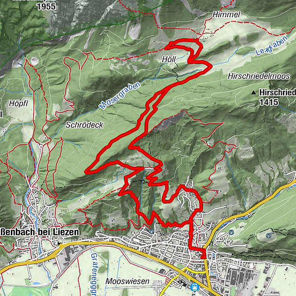
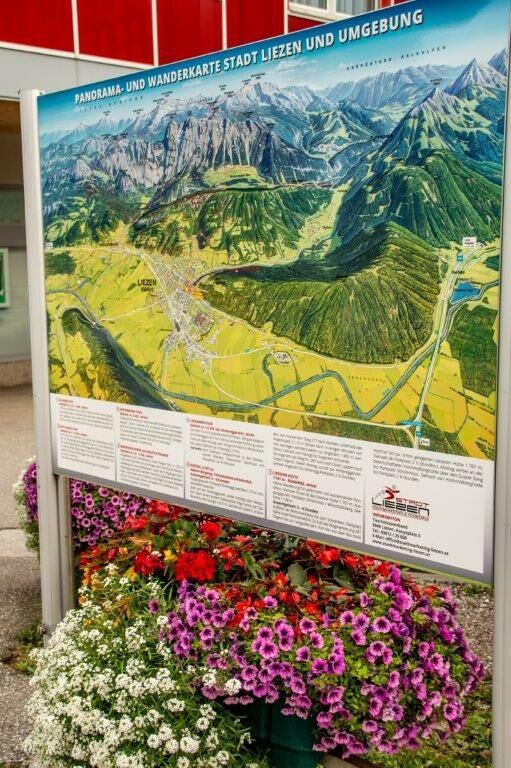
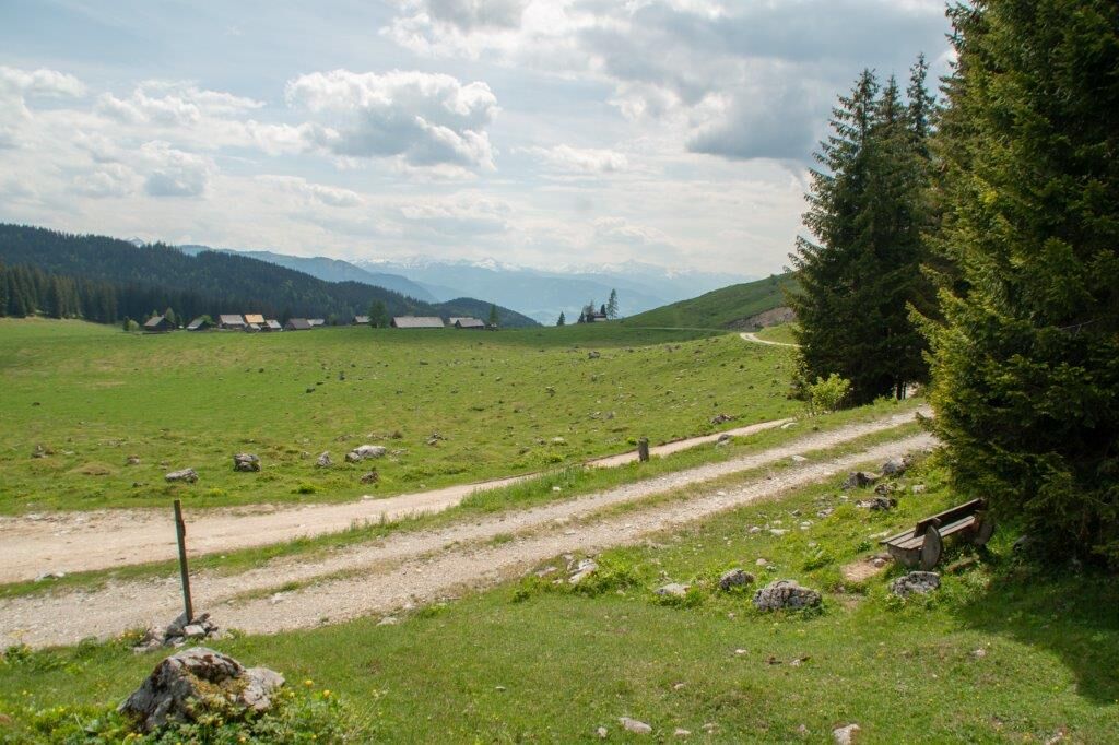
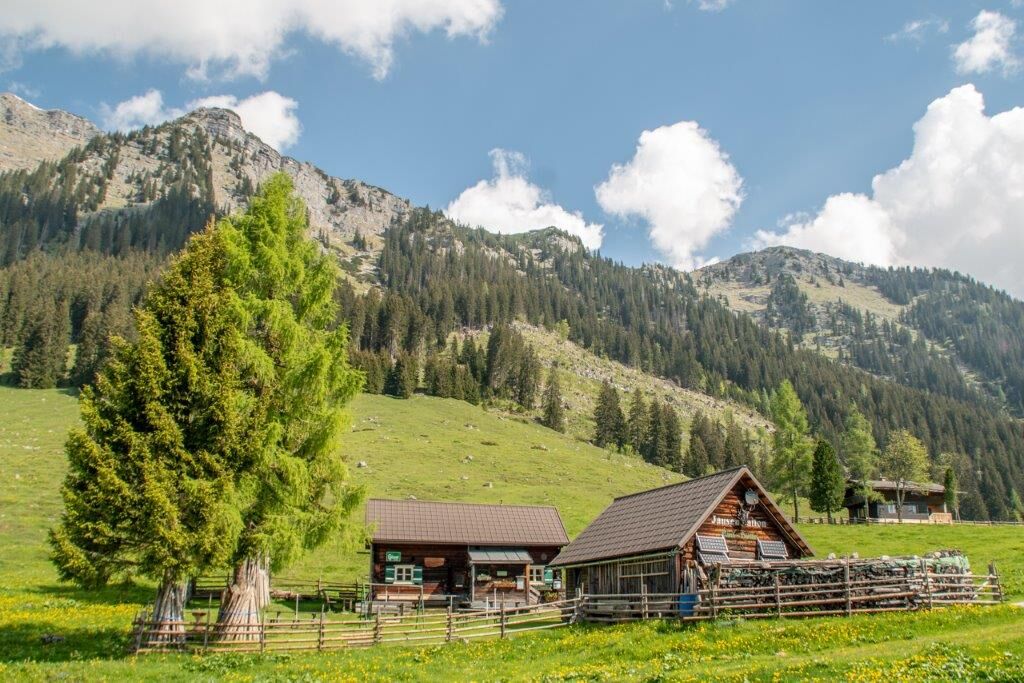
Via the Höhenstraße and the Liezener Eck you reach the Hinteregger Alm with rustic snack stations. Descent via the Höll, Hinteregger Weg, Gasthof Schlagerbauer, Klausensteig to the town center.
- Difficulté
-
moyen
- Évaluation
-
- Parcours
-
LiezenSt. Veit0,2 kmRöth1,5 kmAm Berg3,4 kmBlick über Liezen4,7 kmDachsteinblick5,3 kmBlick ins Ennstal7,7 kmHinteregger Alm7,7 kmAm Berg13,6 kmGasthof Schlagerbauer14,1 kmSt. Veit17,3 kmLiezen17,6 km
- Meilleure saison
-
janv.févr.marsavrilmaijuinjuil.aoûtsept.oct.nov.déc.
- Hauteur maximale
- 1.257 m
- Point de mire
-
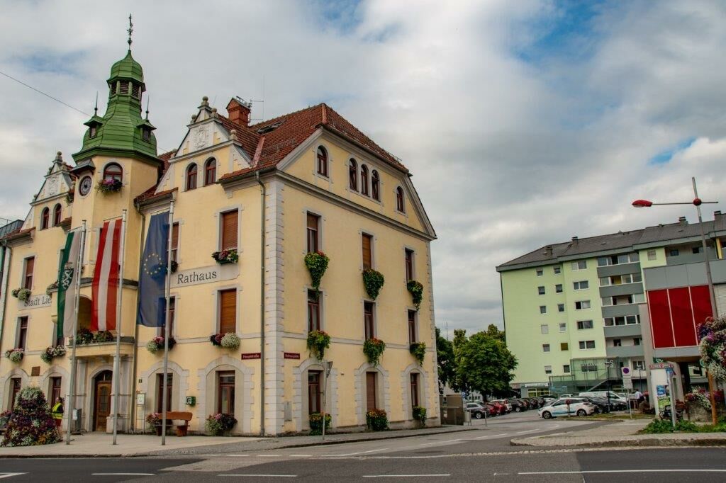
Panoramatafel Rathausplatz
- Profil en hauteur
-


-

-
AuteurLa randonnée Hinteregger Tour est utilisé par outdooractive.com fourni par.
GPS Downloads


Informations générales
Point de rassemblement
Prometteur
Autres parcours dans les régions
-
Gesäuse
2222
-
Urlaubsregion Pyhrn - Priel
1440
-
Liezen
317


