

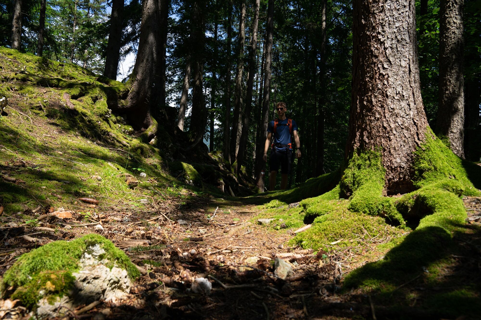
© Erlebnisregion Schladming-Dachstein - Christoph Lukas

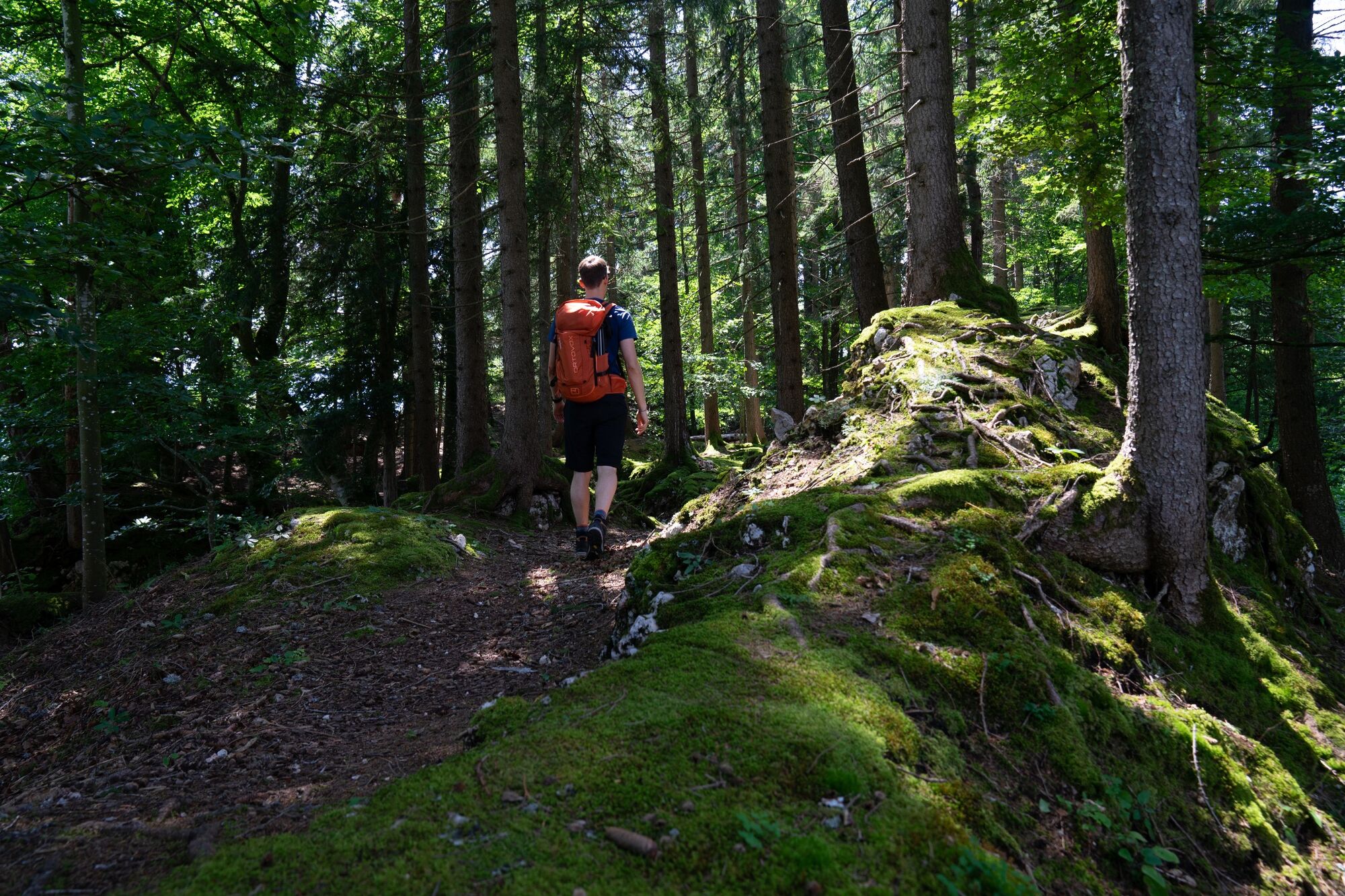
© Erlebnisregion Schladming-Dachstein - Christoph Lukas

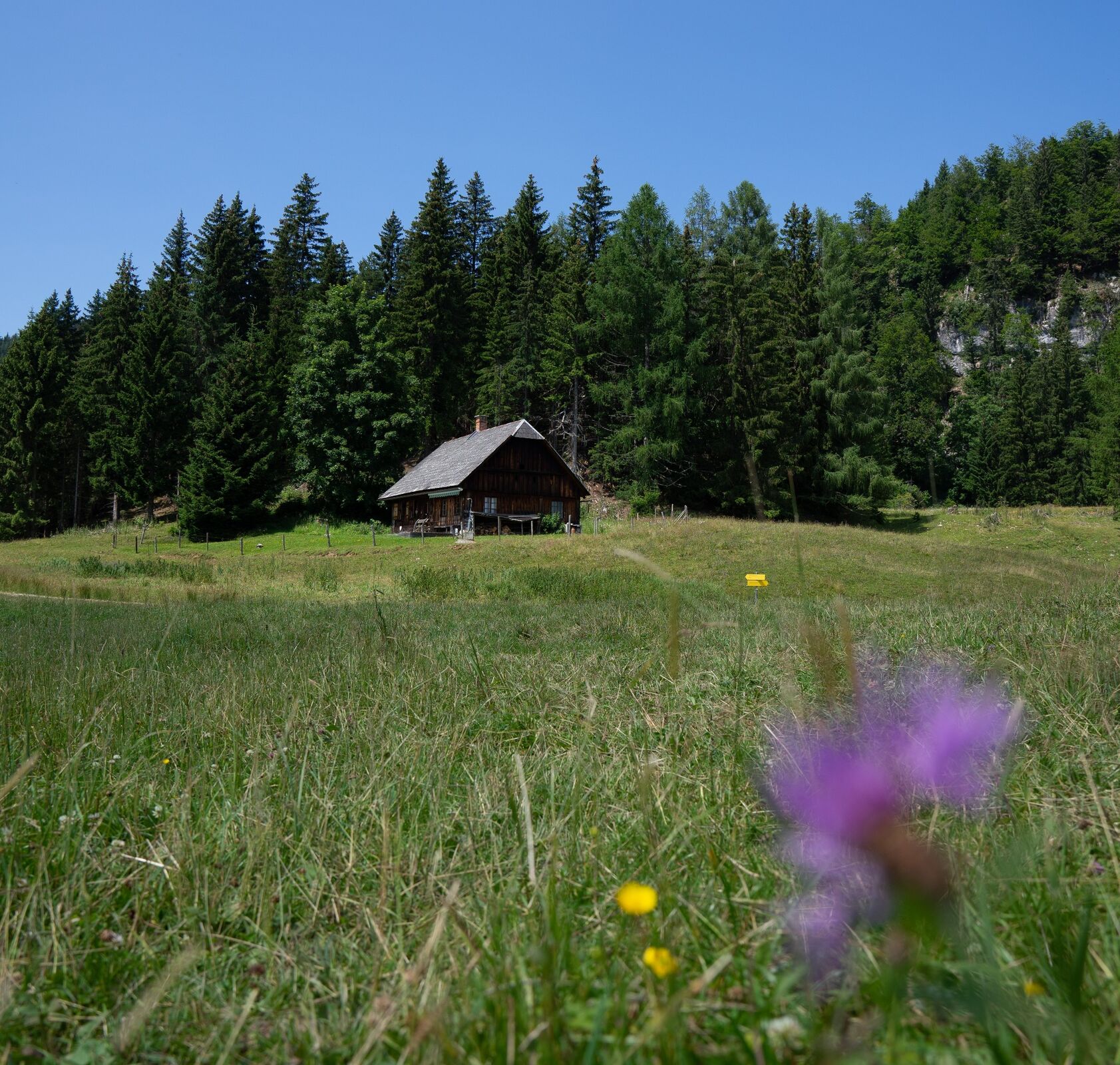
© Erlebnisregion Schladming-Dachstein - Christoph Lukas

© Erlebnisregion Schladming-Dachstein - Christoph Lukas
- Brève description
-
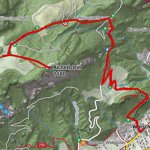
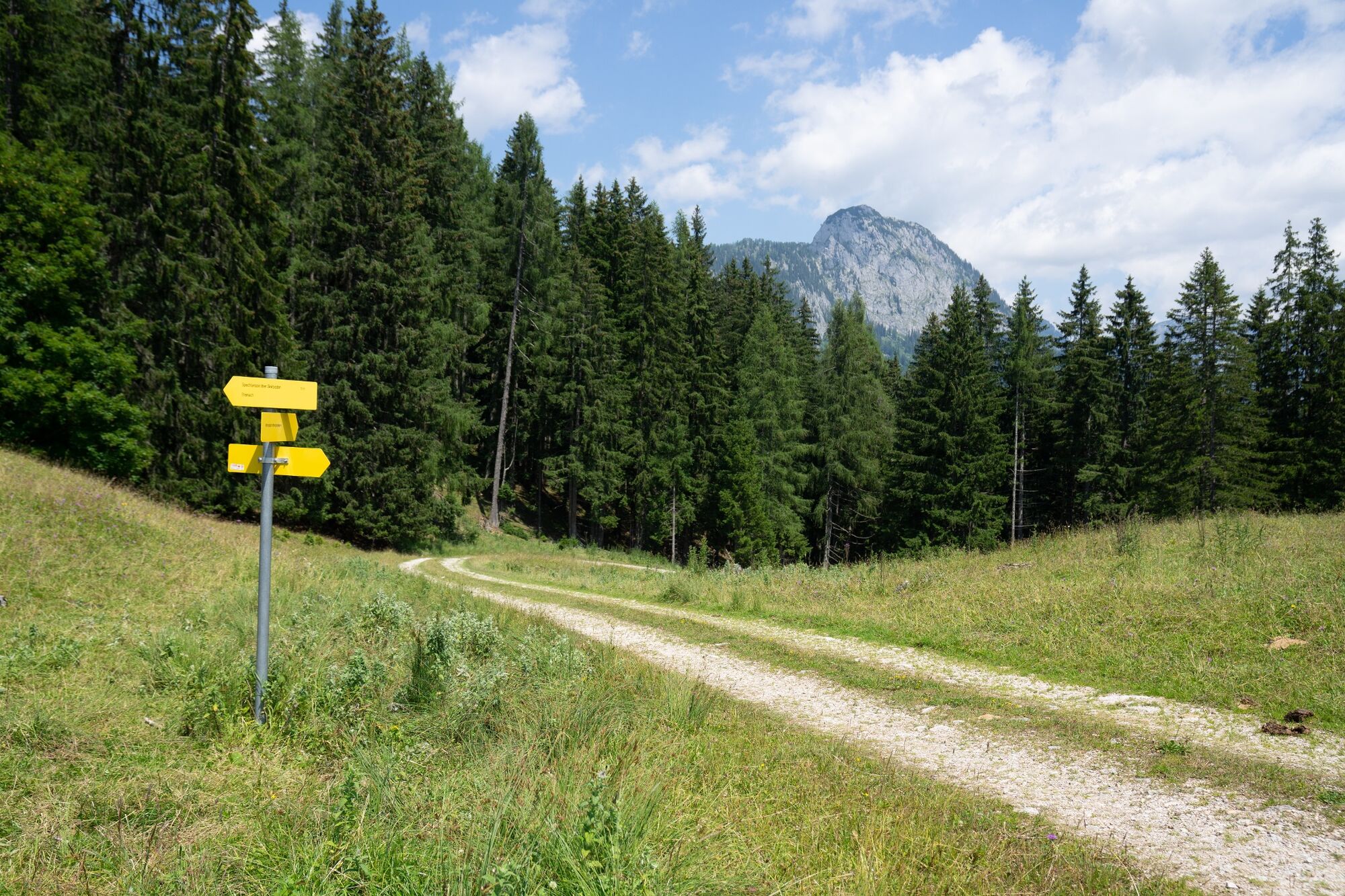
Following the signs to the Aicherlkaralm and further to the Aicherlstein - a special viewpoint of the Enns Valley.
- Difficulté
-
moyen
- Évaluation
-
- Parcours
-
Pfarrkirche hl. AnnaPoschenhof0,0 kmAicherlstein (1.180 m)3,3 kmPoschenhof6,5 kmPfarrkirche hl. Anna6,6 kmWörschach6,6 km
- Meilleure saison
-
janv.févr.marsavrilmaijuinjuil.aoûtsept.oct.nov.déc.
- Hauteur maximale
- 1.180 m
- Point de mire
-
At the war memorial in the town center
- Profil en hauteur
-

- Auteur
-
La randonnée Aicherlstone est utilisé par outdooractive.com fourni par.
GPS Downloads


Informations générales
Secret
Prometteur
Autres parcours dans les régions


