© ÖAV-Hüttenfinder - Sektion Bruck/Mur

© TV Hochsteiermark

© TV Hochsteiermark - Waltraud Pusterhofer

© TV Hochsteiermark - Andreas Steininger

© TV Hochsteiermark - Andreas Steininger

© TV Hochsteiermark - Andreas Steininger

© TV Hochsteiermark - Andreas Steininger

© TV Hochsteiermark - Andreas Steininger

© Image_Abendaufnahme_Brunnen_Kornmesserhaus_(c) Harry Schiffer (1)

- Brève description
-
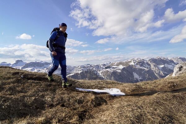
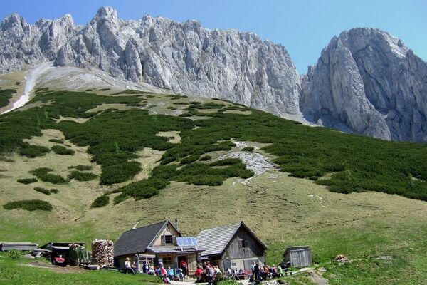
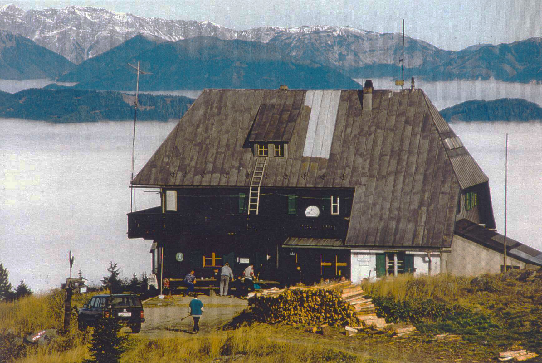
Today it is family-friendly and safe to climb the 1,629m high Rennfeld with the shelter of the same name located just below the summit. 110 years ago, the first shelter was built on the Rennfeld in Hochsteiermark, which had to be rebuilt in 1950 after a fire.
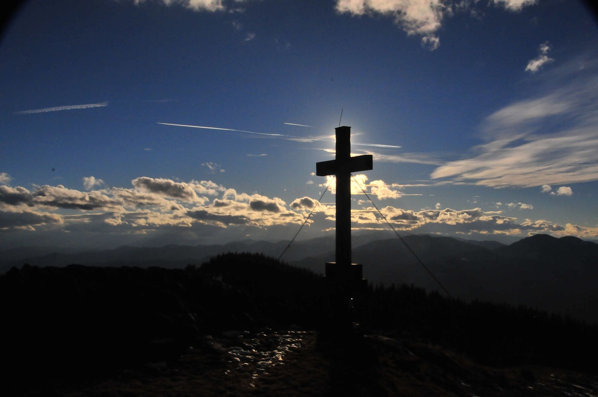
The exposed location at the highest point of the western Fischbach Alps allows a distant view as far as the glacier world of the Hohe Tauern, but also as far as the plains of the eastern Styrian thermal region. Thus, this hike in the footsteps of the High Styrian BergZeitReise becomes a Styrian panoramic journey and at the same time also an appetizer for the Styria-wide round trip "from glacier to wine".
- Difficulté
-
moyen
- Évaluation
-
- Parcours
-
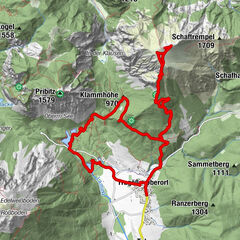
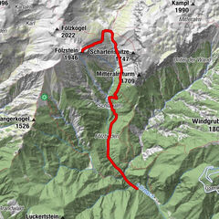
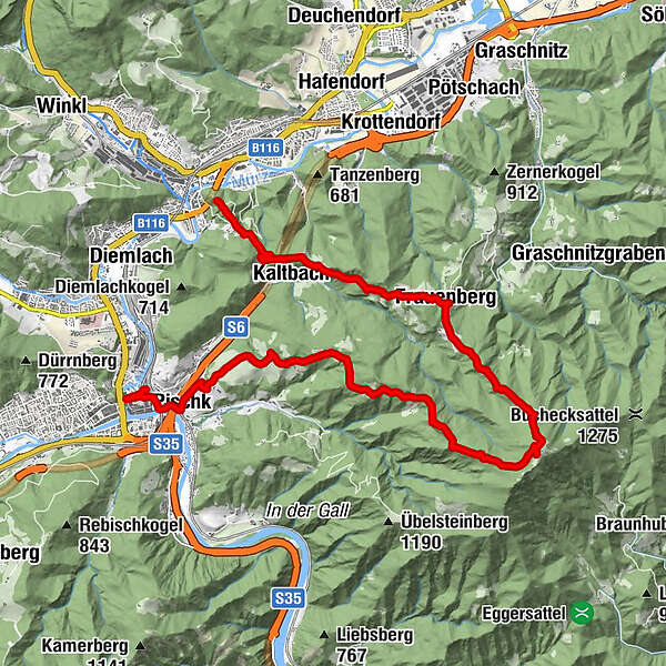
KapfenbergKaltbach1,9 kmEinkehr Prieselbauer2,0 kmGasthof Angerer Wirt4,7 kmFrauenberg4,7 kmOttokar-Kernstock-Haus8,0 kmRennfeld (1.629 m)8,3 kmGasthaus Hütter11,9 kmPischkberg14,0 kmHimmelwirt14,1 kmPischk16,2 kmWiener Vorstadt17,0 kmBruck an der Mur17,3 km
- Meilleure saison
-
janv.févr.marsavrilmaijuinjuil.aoûtsept.oct.nov.déc.
- Hauteur maximale
- 1.612 m
- Point de mire
-
Depending on tour selection in Kapfenberg, Bruck an der Mur, Breitenau, Frauenberg or Pernegg
- Profil en hauteur
-


-

-
AuteurLa randonnée BergZeitReise Tagetourentipp - Rennfeld est utilisé par outdooractive.com fourni par.
GPS Downloads


Informations générales
Point de rassemblement
Culturel/Historiquement
Prometteur
Autres parcours dans les régions
-
Hochsteiermark
4078
-
Bruckmur-Kapfenberg
1499
-
Frauenberg - Maria Rehkogel
429