

© Erlebnisregion Schladming-Dachstein - Barbara Luidold

© Erlebnisregion Schladming-Dachstein - Barbara Luidold

© Erlebnisregion Schladming-Dachstein - Barbara Luidold

© Erlebnisregion Schladming-Dachstein - Barbara Luidold
- Brève description
-
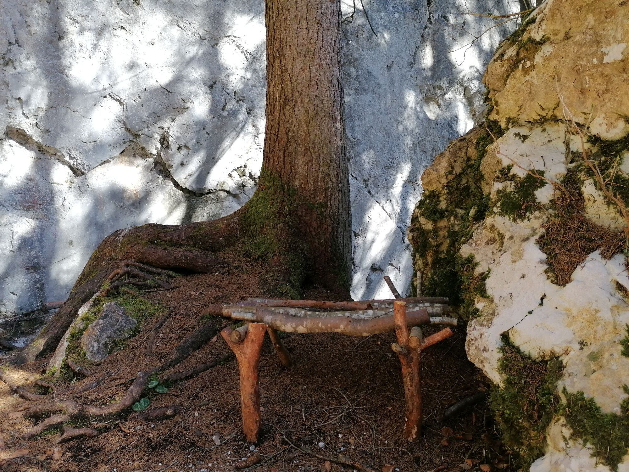
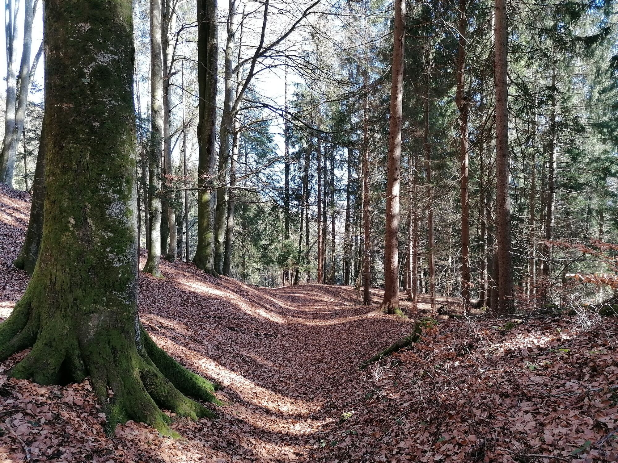
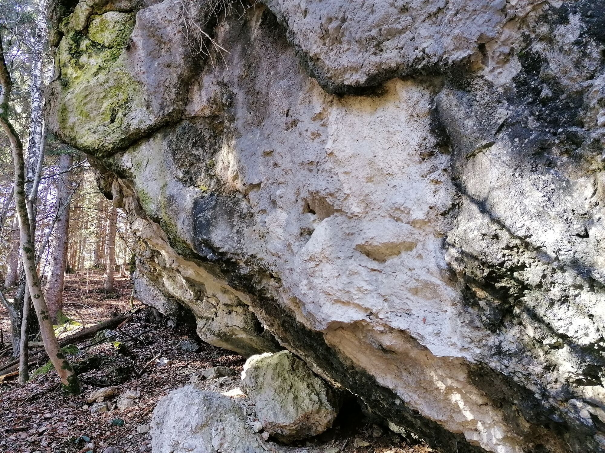
From Wörschach to Stainach goes the trail that leads through a beech forest and along rock walls and brooks.
- Difficulté
-
facile
- Évaluation
-
- Parcours
-
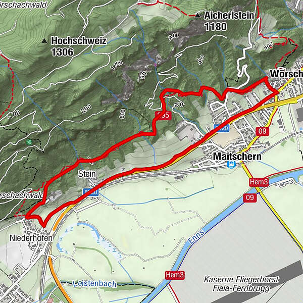
WörschachGasthaus Weitgasser0,5 kmMaitschern0,6 kmRochus Kapelle2,9 kmNiederhofen3,2 kmStein3,6 kmMaitschern4,9 kmWörschach5,5 km
- Meilleure saison
-
janv.févr.marsavrilmaijuinjuil.aoûtsept.oct.nov.déc.
- Hauteur maximale
- 746 m
- Point de mire
-
Parkplace at the Municipal Office Wörschach.
- Profil en hauteur
-


-

-
AuteurLa randonnée Fürstenway est utilisé par outdooractive.com fourni par.
GPS Downloads


Informations générales
Point de rassemblement
Autres parcours dans les régions


